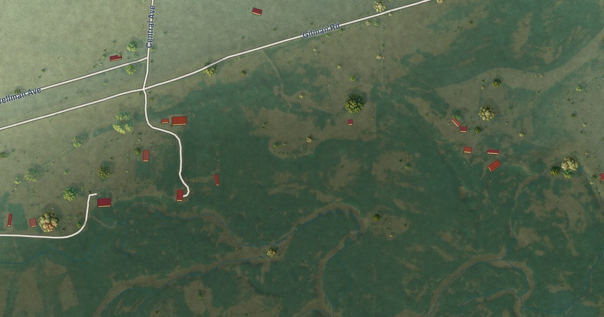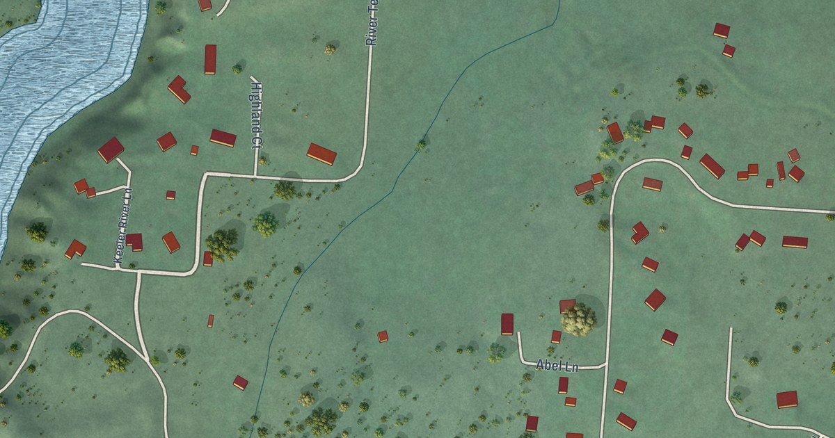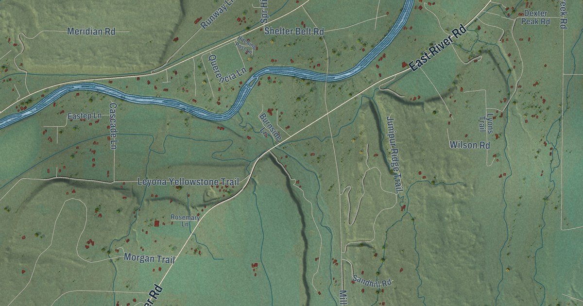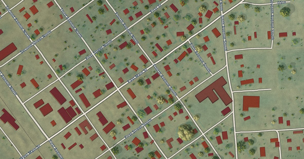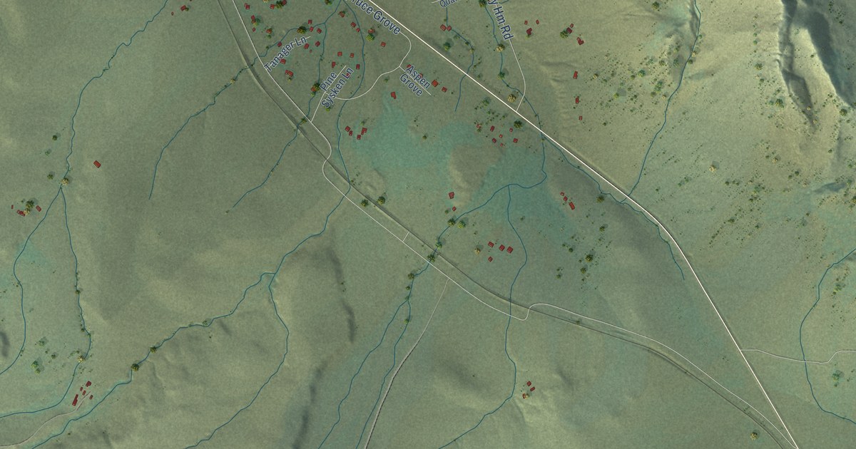
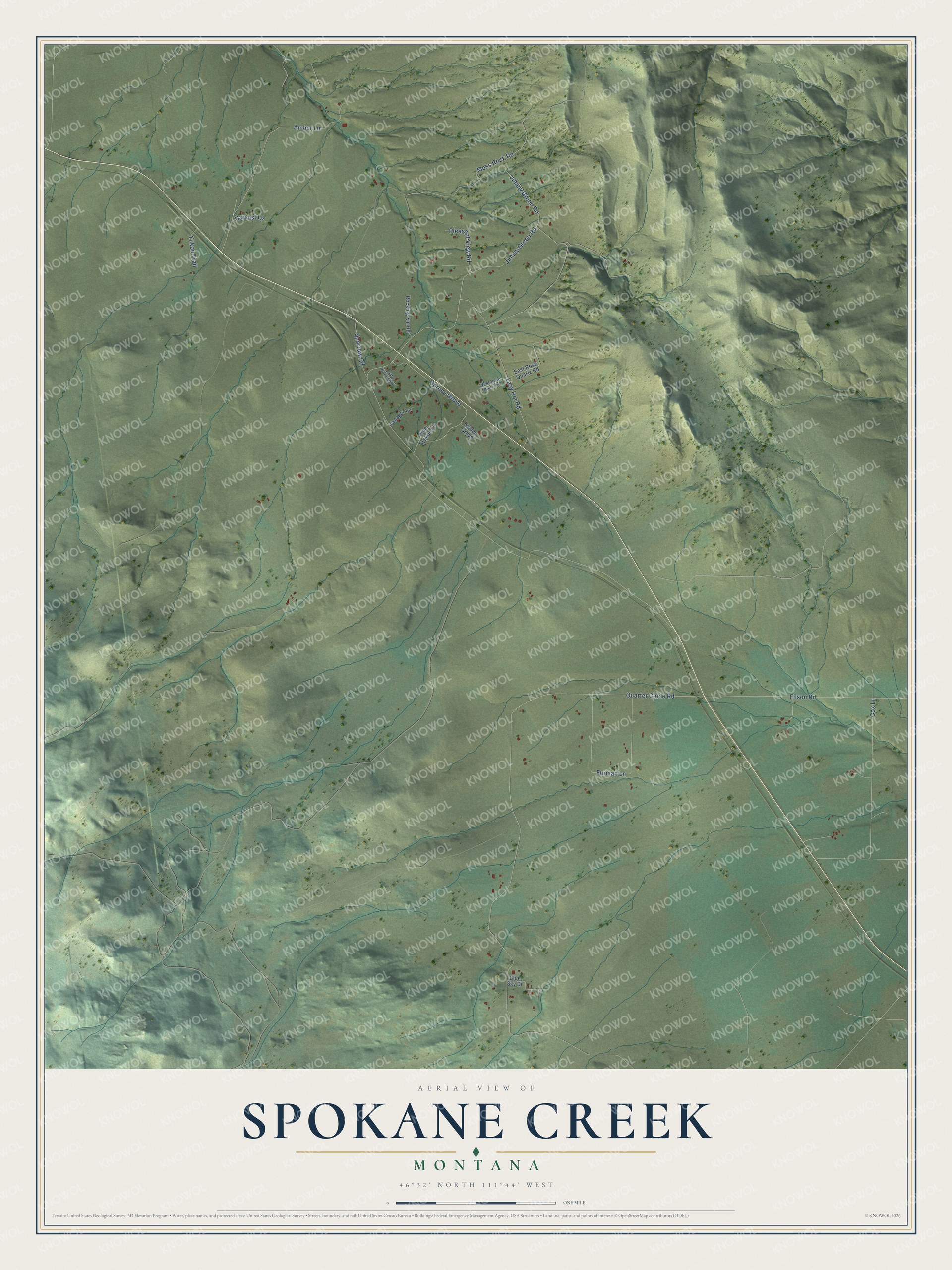
This beautifully detailed map of Spokane Creek, Montana was created in 2026 using aerial imagery combined with modern topographical, census, street and landmark data. It’s a one-of-a-kind view of Spokane Creek that combines accurate data with a vintage aesthetic. The map shows every building in its true location, many of the roads carry their names, and the shaded topographic relief shows the shape of the land.
Explore an aerial view of Spokane Creek, Montana
On the map you’ll find Spruce Grove, along with Quarter Circle Road, Jiminy Green Road, Pleasant View Road, Moss Rock Road, Amber Lane, Cox Lane, Furman Lane, Lazy Hm Road, Filson Road, Sparrow Road, Jimmy Green Road, and more. If you look closely you can even find your house accurately drawn in its correct location. Zoom in on the preview to look for yours.
Did You Know?
In 1893 William and Lizzie McMaster homesteaded 160 acres on a high, open hilltop along the Diamond City Stage Road, twelve miles east of Helena, a fine spot for a blacksmith shop serving freight wagons. After William died in 1902, Lizzie and their son James built the ranch up to 2,000 acres, living by her rule: take care of the land, and the land will take care of you. Lizzie planted apple and cherry trees, and the orchard is a registered Montana Heritage Orchard. That's from the Montana Historical Society.
Take a closer look at the Spokane Creek map
Names on this map
These names are printed on this map.
Streets and roads: Quarter Circle Road, Jiminy Green Road, Pleasant View Road, Moss Rock Road, Amber Lane, Cox Lane, Furman Lane, Lazy Hm Road, Filson Road, Spruce Grove, Sparrow Road, Jimmy Green Road.
More street names, A to Z
Aspen Grove, Blue Sky Drive, Cedar Waxwing Road, East Rose Quartz Road, Harvest Lane, Pine Sysken Lane, Rocking Km Road, Tanager Lane, West Rose Quartz Road, Yukon Trail.
See it on a wall
The Spokane Creek map as a framed print. Swipe for more.


This beautifully detailed map of Spokane Creek makes an attractive addition to your office, library, or den, and it can even be used to teach children the geography and history of the area. It also makes a great gift for anyone with Spokane Creek roots. When you’re done exploring, click here to get your copy of the Spokane Creek map.