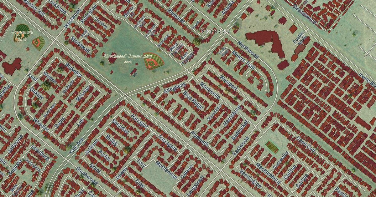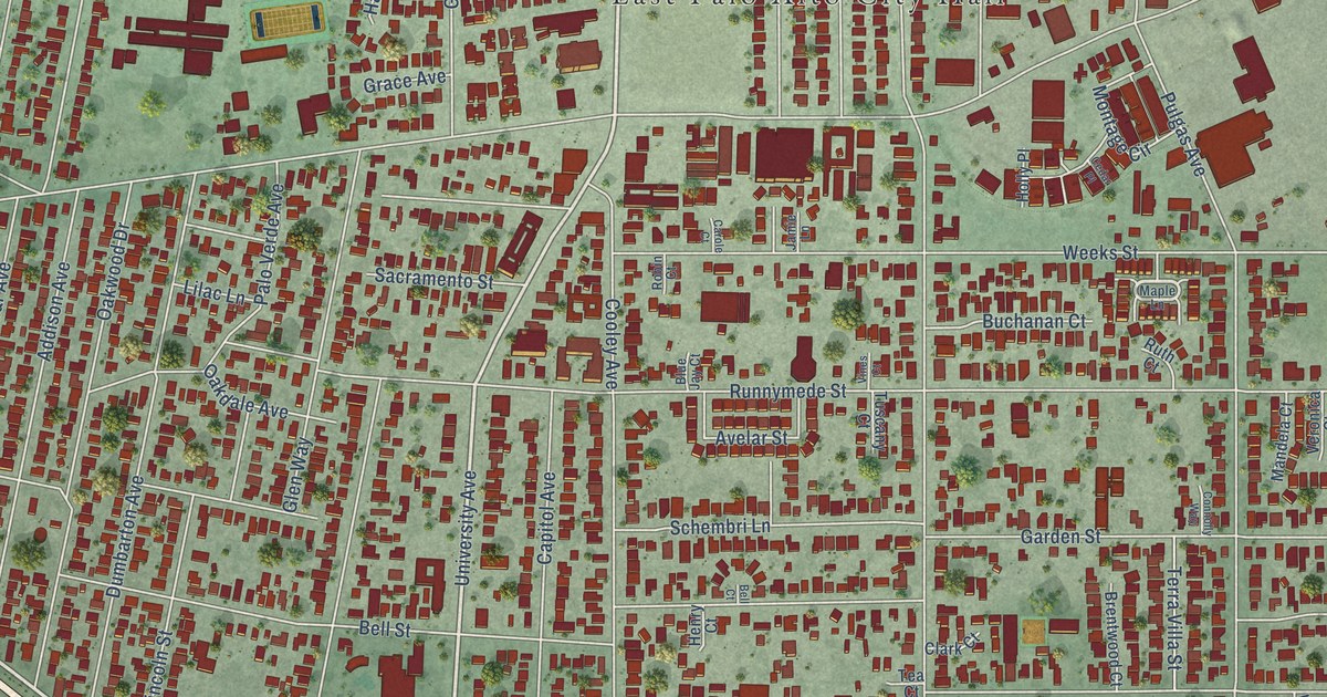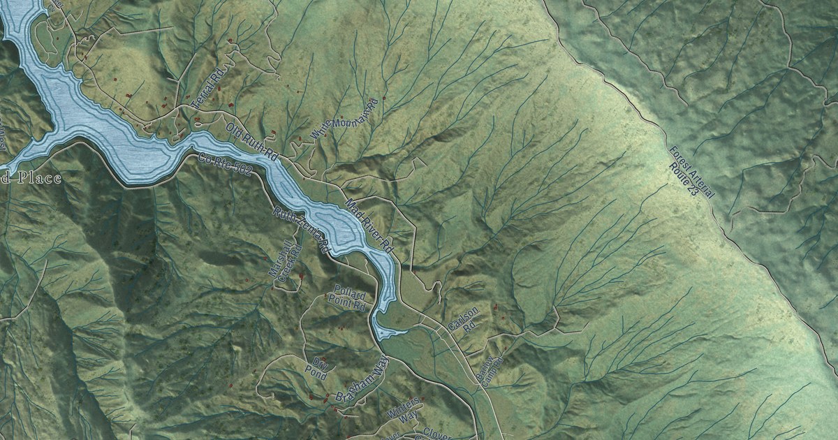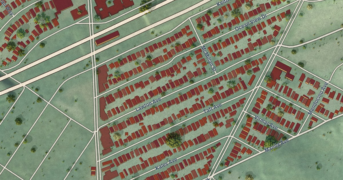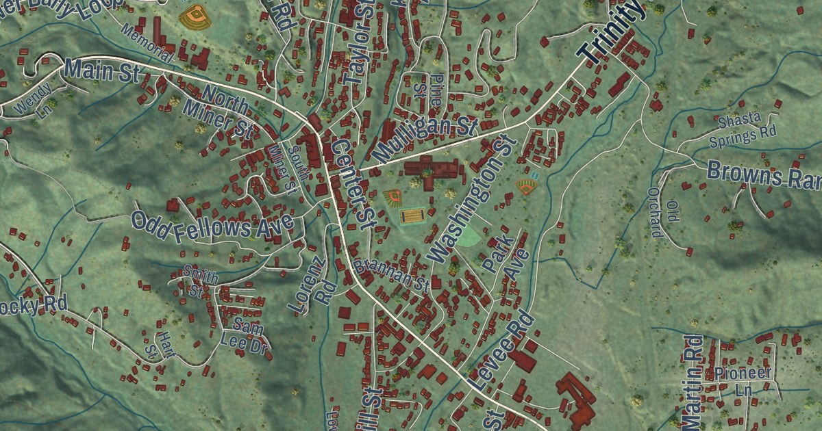
This beautifully detailed map of Weaverville, California was created in 2026 using aerial imagery combined with modern topographical, census, street and landmark data. It’s a one-of-a-kind view of Weaverville that combines accurate data with a vintage aesthetic. The map shows every building in its true location, many of the roads carry their names, and the shaded topographic relief shows the shape of the land.
Explore an aerial view of Weaverville, California
On the map you’ll find Oregon To West Weaverville and 34N95, along with Main Street, Trinity Lake Boulevard, Sidney Gulch Road, Red Hill Road, East Weaver Creek Road, Musser Hill Road, Oregon Street, East Branch Road, Browns Ranch Road, Levee Road, and more. If you look closely you can even find your house accurately drawn in its correct location. Zoom in on the preview to look for yours.
Did you know this piece of Weaverville, California history?
Weaverville was named in 1850 for John Weaver, a gold prospector who had come to the area in 1849. The camp of forty-niners became the political, commercial and entertainment center of Trinity County, and after a series of fires its early wood buildings were replaced with brick, so that by 1858 the town had about 25 brick buildings. That's from the National Register of Historic Places.
Take a closer look at the Weaverville map
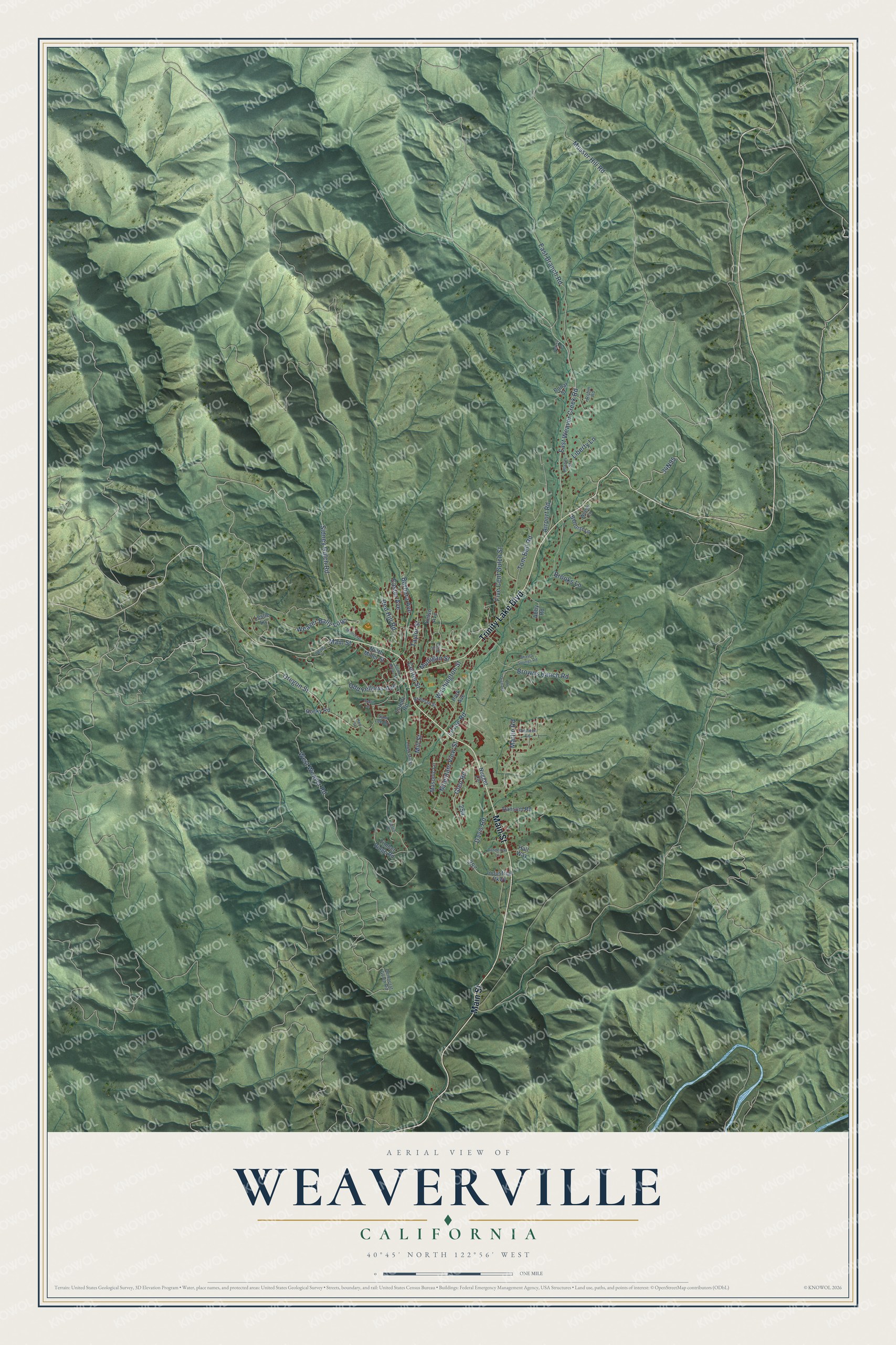
Street names on the Weaverville, California map
These names are printed on the map of Weaverville, California.
Streets and roads: Main Street, Trinity Lake Boulevard, East Weaver Creek Road, Sidney Gulch Road, Red Hill Road, Musser Hill Road, West Weaver Road, East Branch Road, Oregon Street, Browns Ranch Road, Levee Road, Brooks Lane.
More street names, A to Z
Abby Road, Airport Road, Barbara Avenue, Benoist Lane, Bonar Street, Brannan Street, Center Street, Davis Road, Democrat Gulch Road, Easter Avenue, Five Cent Gulch Street, Glen Road, Hall Way, Hart Street, Helen Drive, Industrial Parkway, Kelso Avenue, Leslie Lane, Liberty Lane, Lorenz Road, Lower Mill Street, Martin Road, Masonic Lane, Memorial, Mill Street, Mountain View Street, Mulligan Street, North Miner Street, Nugget Lane, Odd Fellows Avenue, Old Orchard, Park Avenue, Peters Lane, Pine Street, Pioneer Lane, Placer Street, Ponderosa Lane, Ransom Road, Robin Road, Rocky Road, Sam Lee Drive, Shasta Springs Road, Smith Street, South Miner Street, Taylor Street, Timber Ridge Road, Tom Bell Road, Washington Street, Weaver Bally Loop, Weeks Lane, Wendy Lane.
See the Weaverville, California map on a wall
The Weaverville map as an 18 x 24 inch print in a black frame.

This beautifully detailed map of Weaverville makes an attractive addition to your office, library, or den, and it can even be used to teach children the geography and history of the area. It also makes a great gift for someone who left Weaverville and still calls it home. When you’re done exploring, click here to get your copy of the Weaverville map.