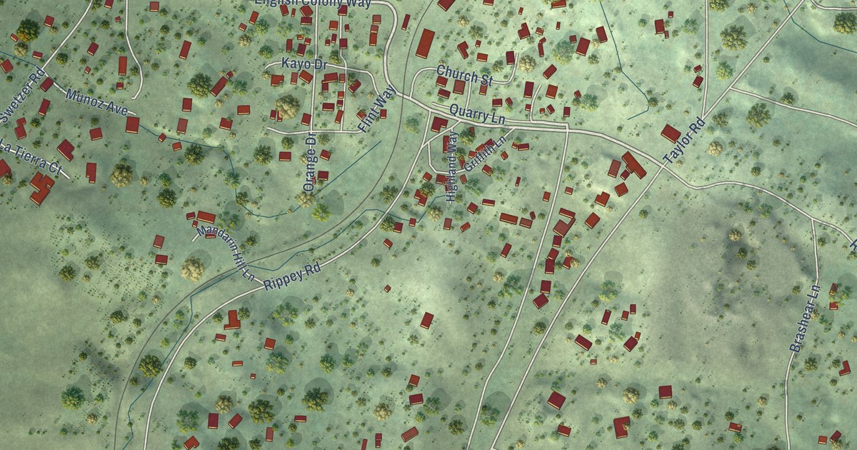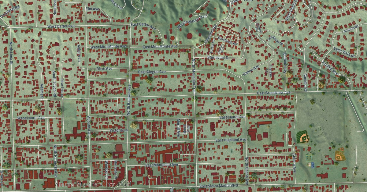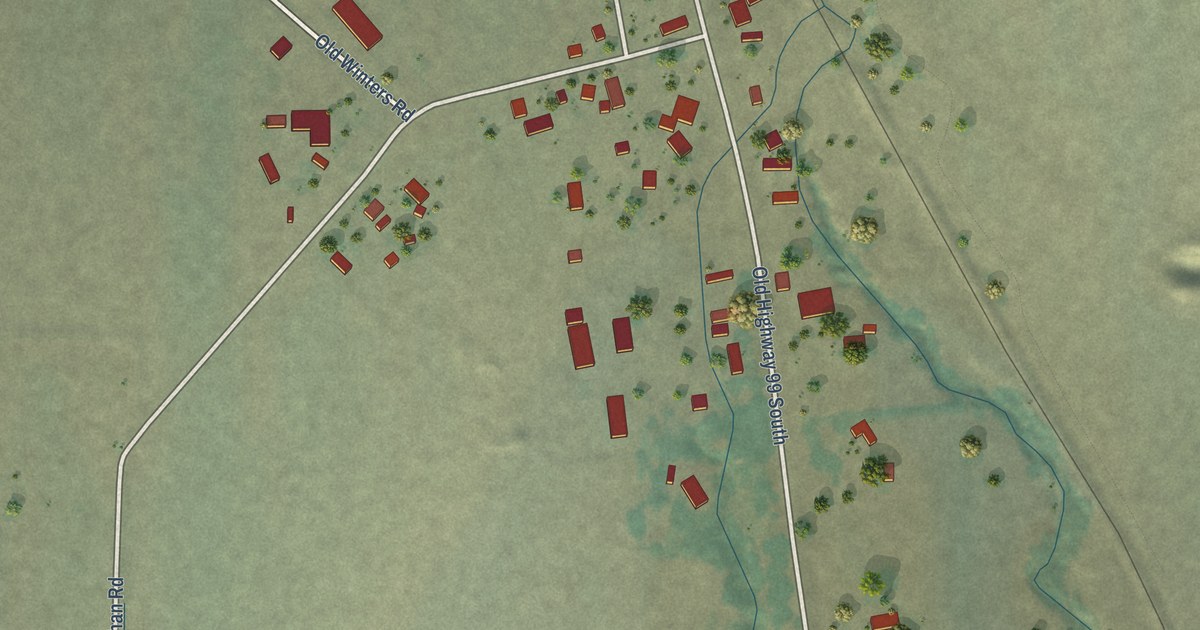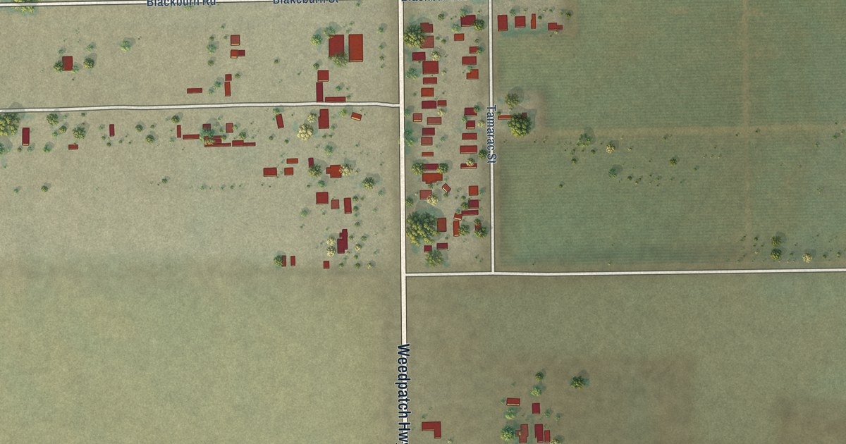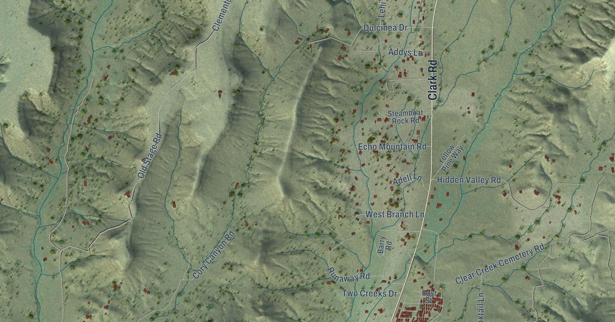
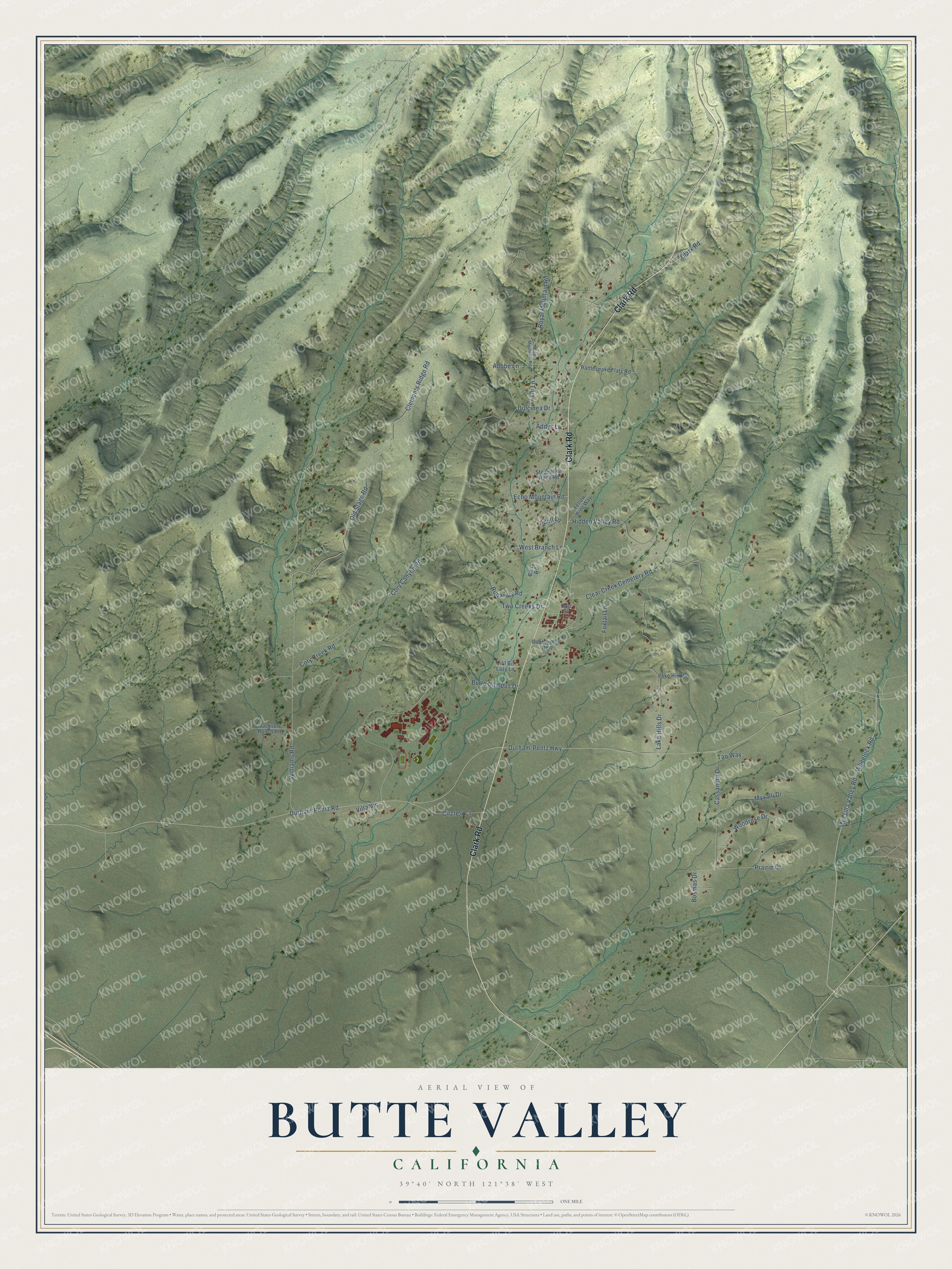
This beautifully detailed map of Butte Valley, California was created in 2026 using aerial imagery combined with modern topographical, census, street and landmark data. It’s a one-of-a-kind view of Butte Valley that combines accurate data with a vintage aesthetic. The map shows every building in its true location, many of the roads carry their names, and the shaded topographic relief shows the shape of the land.
Explore an aerial view of Butte Valley, California
On the map you’ll find Clark Road, Messilla Valley Road, Wheelock Road, Runaway Road, Lehi Lane, Durham-Pentz Highway, Durham-Pentz Road, Clements Ridge Road, Williams Road, Butte Campus Drive, Old Stage Road, Clear Creek Cemetery Road, and more. If you look closely you can even find your house accurately drawn in its correct location. Zoom in on the preview to look for yours.
Did You Know?
Butte College built its permanent campus at Pentz and Clark Roads, a site chosen in 1968 for its central location in Butte County. The campus opened in 1974 with more than 5,800 students, and in 1995 the college was designated a wildlife refuge. The college says it became the first in the nation to reach grid positive status, making more electricity than it uses with its solar arrays. That's from the Butte College history page.
Take a closer look at the Butte Valley map
Names on this map
These names are printed on this map.
Streets and roads: Clark Road, Messilla Valley Road, Wheelock Road, Runaway Road, Lehi Lane, Durham-Pentz Highway, Durham-Pentz Road, Clements Ridge Road, Williams Road, Butte Campus Drive, Old Stage Road, Clear Creek Cemetery Road.
More street names, A to Z
Addys Lane, Adell Lane, Adobe Lane, Barry Road, Bosmas Drive, Cassandra Drive, Circle 4 Court, Cory Canyon Road, Cory Creek Road, Doubletree Road, Dulcinea Drive, East Street, Echo Mountain Road, Foxtail Lane, Hidden Valley Road, Jackson Ranch Road, Lake Hill Drive, Lake Hills Drive, Lit'l Bit Lazy Lane, Minner Mountain Road, Myvalli Drive, Prairie Drive, Rattlesnake Flats Road, Royal Mountain Road, Steamboat Rock Road, Tao Way, Two Creeks Drive, Villa Vis, West Branch Lane, Woodrose Drive, Yellow Pine Way.
See it on a wall
The Butte Valley map as a framed print. Swipe for more.


This beautifully detailed map of Butte Valley makes an attractive addition to your office, library, or den, and it can even be used to teach children the geography and history of the area. It also makes a great gift for anyone who grew up in Butte Valley or moved away. When you’re done exploring, click here to get your copy of the Butte Valley map.