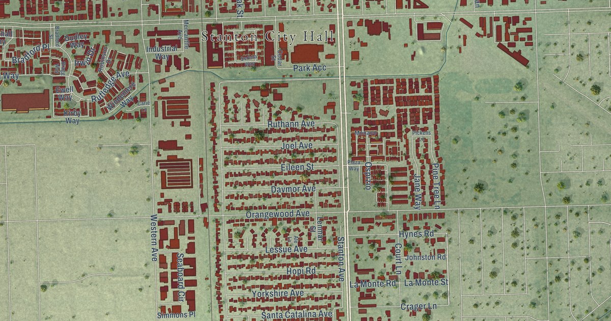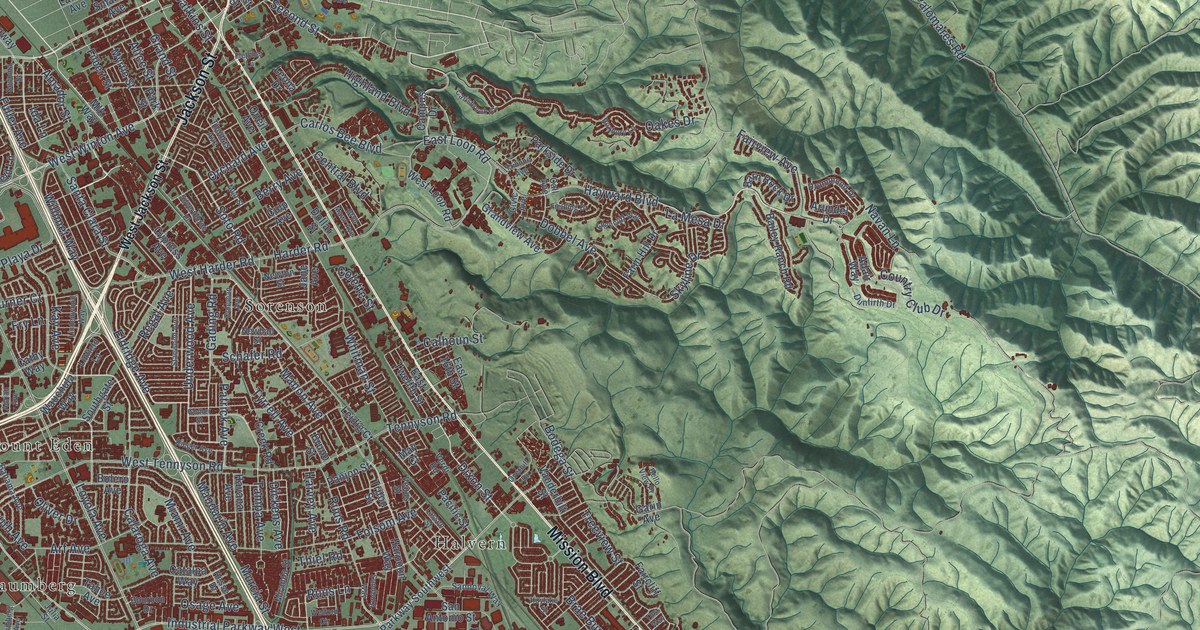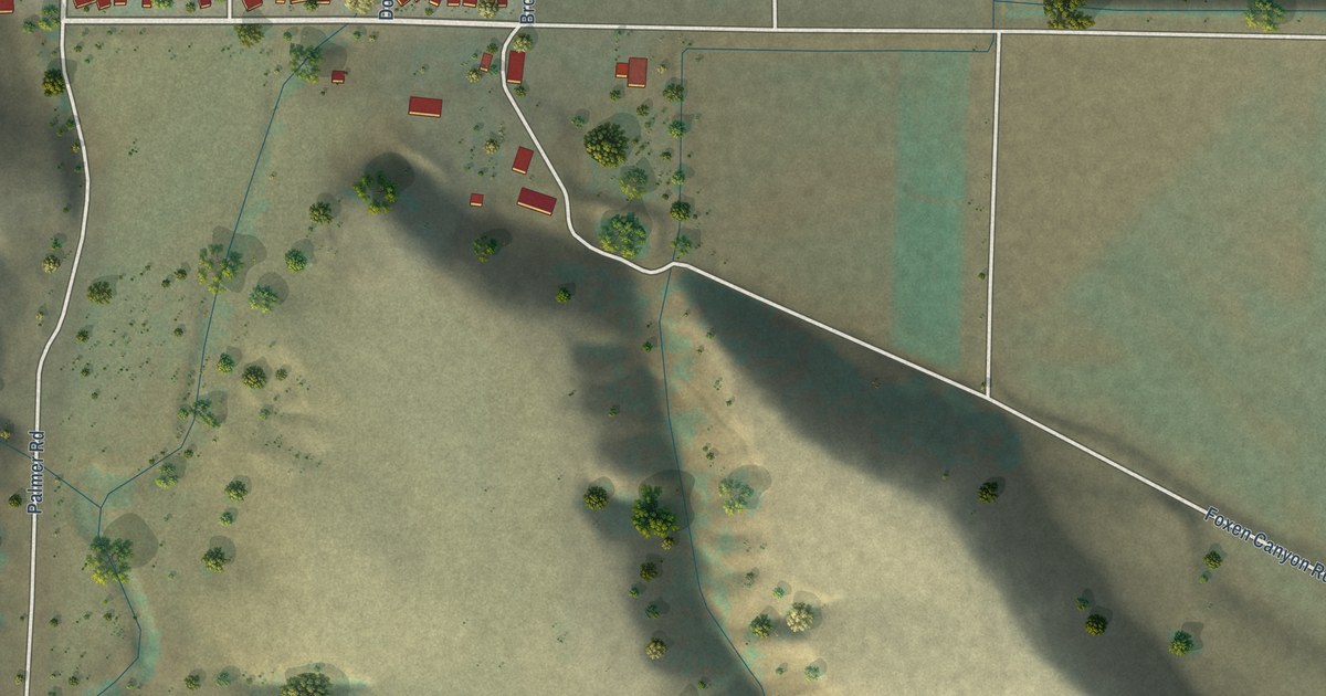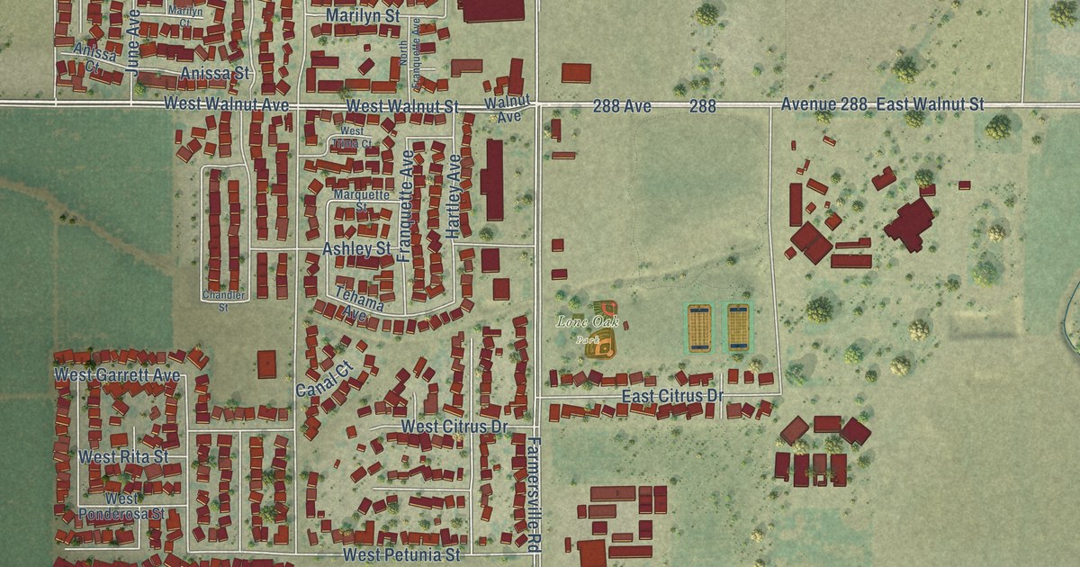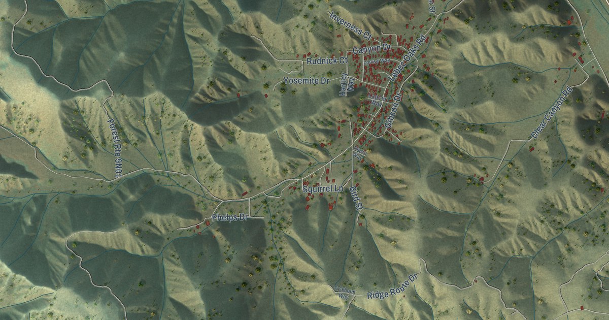
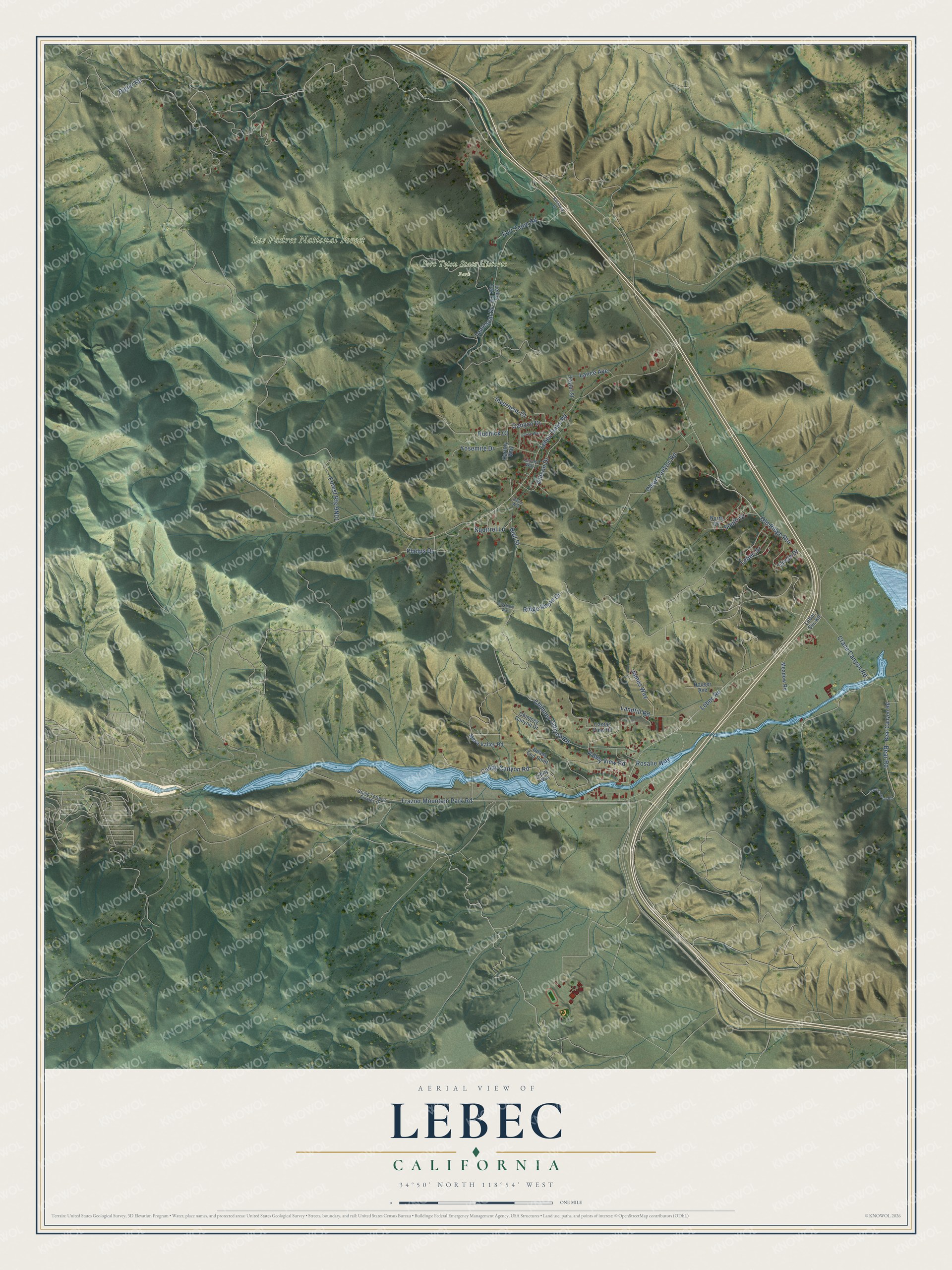
This beautifully detailed map of Lebec, California was created in 2026 using aerial imagery combined with modern topographical, census, street and landmark data. It's a modern aerial view of Lebec in Kern County, California, that combines modern data with a vintage aesthetic. The roads feature printed names, and if you look closely you can find your exact house accurately shown in its correct location.
Explore an aerial view of Lebec, California
On this map you'll find Fort Tejon State Historic Park, Los Padres National Forest, Ridge Route Drive, Digier Road, Lebec Road, Frazier Mountain Park Road, Canyon Drive, Lebec Oaks Road, Squirrel Lane, Bear Road, Temescal Drive, Cuddy Canyon Road, and more. Each red shape is a building, so zoom in on the preview and look for yours.
Lebec has a story worth telling. Lebec took its name from Peter Lebeck, a trapper who was killed by a bear and buried at Fort Tejon in 1837, with his name carved above the grave. Edward Fitzgerald Beale proposed a town named for him in 1888, and the Lebec post office opened in 1895, the official beginning of the community. The settlement grew up three miles south of the old fort, and once the Ridge Route Roadway was paved in 1919, Lebec became a popular rest stop and summer resort. That's from the Ridge Route Communities Museum.
Lebec is a community in Kern County. The Census Bureau counted 1,239 people here in 2020.
Take a closer look at the Lebec map
Names on this map
These names are printed on this map.
Places: Fort Tejon State Historic Park and Los Padres National Forest.
Streets and roads: Ridge Route Drive, Digier Road, Lebec Road, Frazier Mountain Park Road, Canyon Drive, Lebec Oaks Road, Squirrel Lane, Bear Road, Temescal Drive, Cuddy Canyon Road, Chimney Canyon Road, Old Ridge Route.
More street names, A to Z
Bear Canyon Road, Bird Street, Castac View Road, Cave Canyon Road, Chimney Canyon Drive, Circle Drive, Clear Canyon Road, Crane Canyon Road, Fort Tejon Road, Frykholm Way, Gibson Drive, Grand Terrace Estates Drive, Hartley Way, Houser Avenue, Inverness Court, James Way, Lance Avenue, Lancer Way, Landfill Road, Lebec Drive, Lebec Oak Road, Lebec Svc Road, Libby Way, Louise Way, Meadow Road, Mesa Valley Road, North Drive, Phelps Drive, Pierre Way, Roads End Point, Rockford Road, Rosalie Way, Rudnick Court, South Drive, Taylor Street, Valley View Road, Yosemite Drive.
See it on a wall
The Lebec map as a framed print. Swipe for more.


Created by KNOWOL in 2026. The buildings are small red shapes, the roads carry their printed names, and shaded relief shows the shape of the land. The title panel reads "AERIAL VIEW OF LEBEC, CALIFORNIA" with 34°50' NORTH 118°54' WEST.
It looks right in a kitchen, an office or a den, and it's a gift for anyone who grew up in Lebec or moved away. Open the preview and find your street. See sizes and frames for the Lebec map.