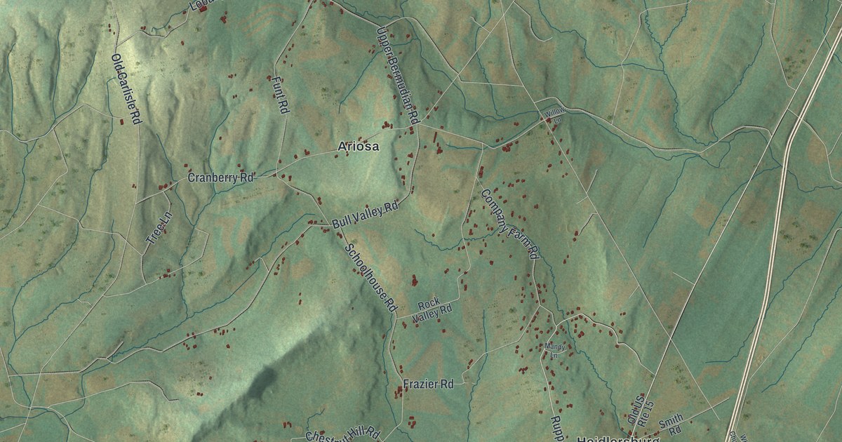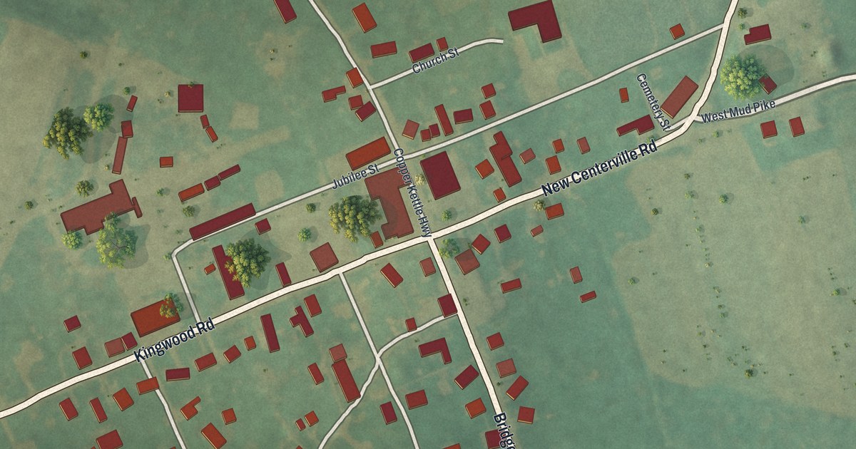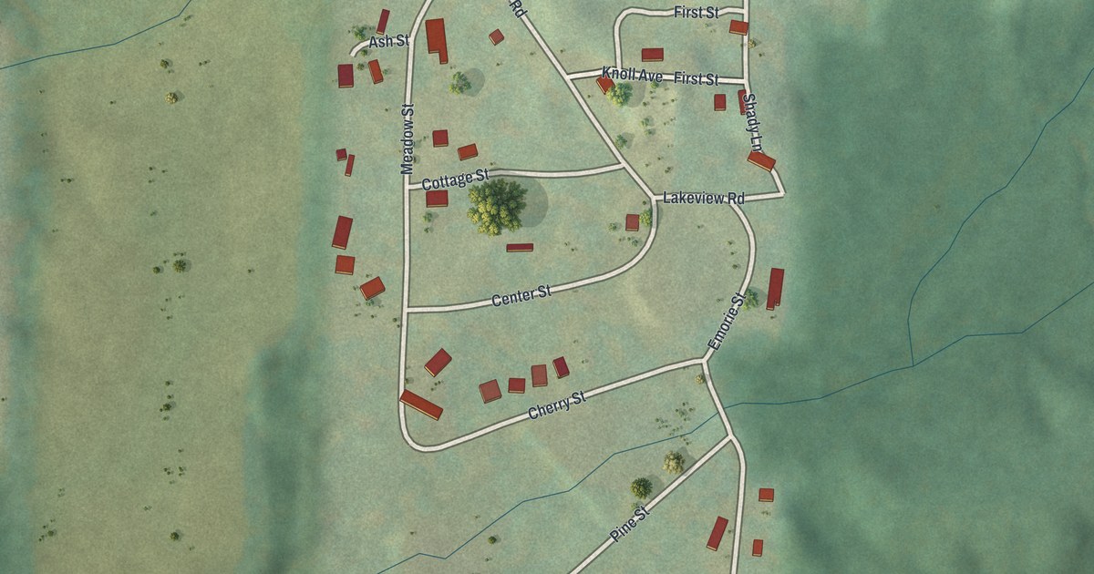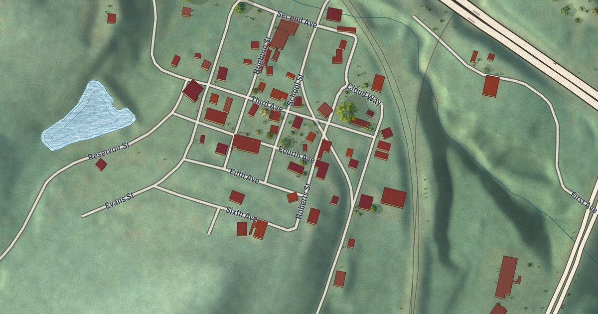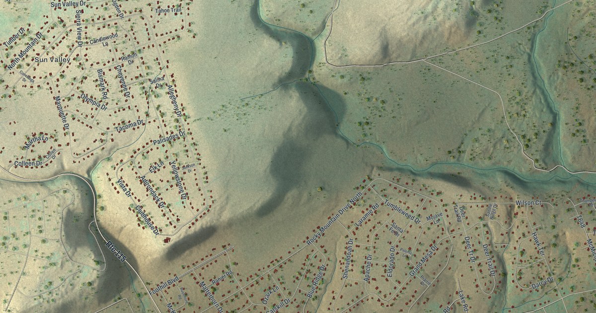
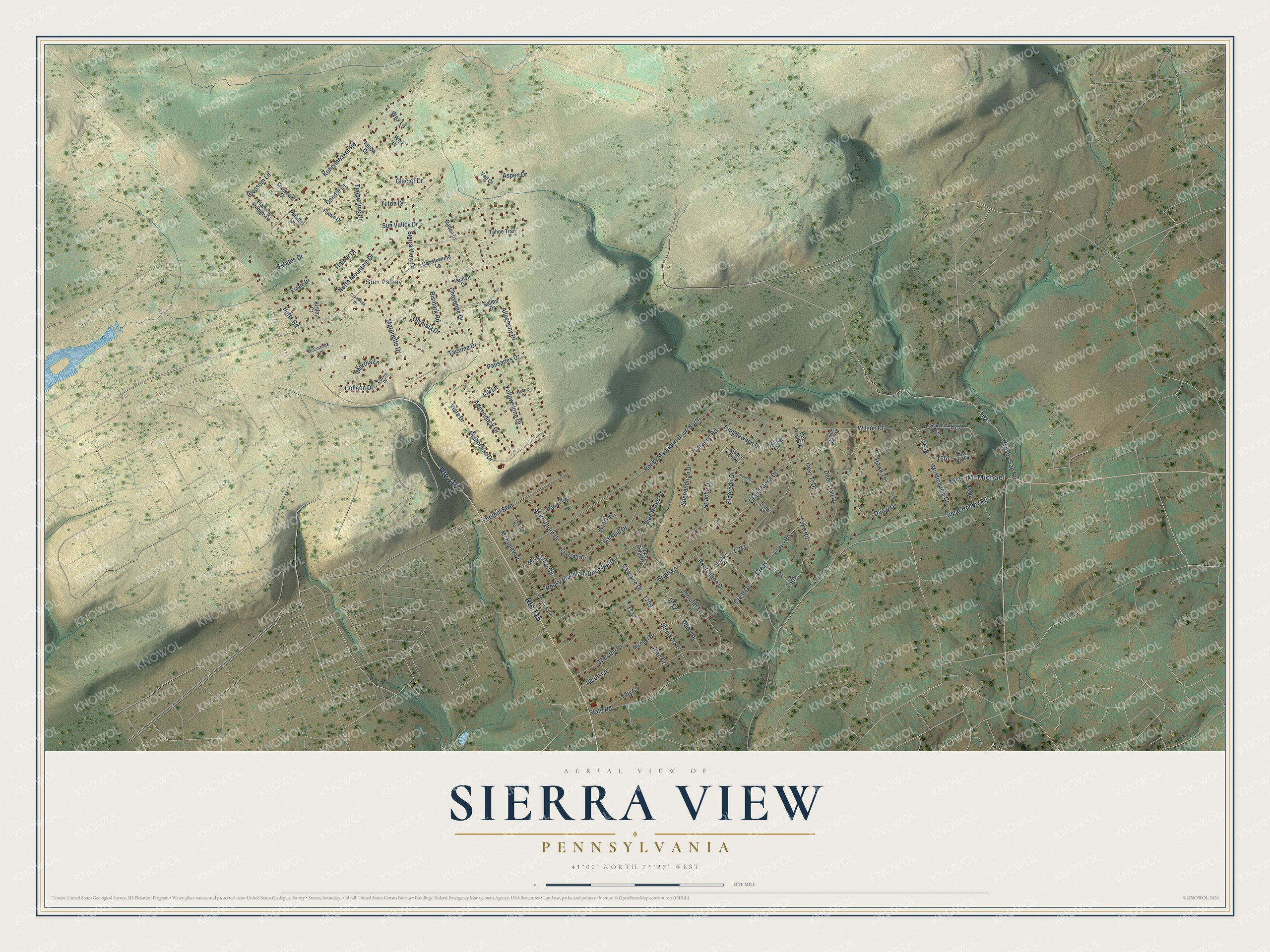
This beautifully detailed map of Sierra View, Pennsylvania was created in 2026 using aerial imagery combined with modern topographical, census, street and landmark data. It’s a one-of-a-kind view of Sierra View that combines accurate data with a vintage aesthetic. The map shows every building in its true location, many of the roads carry their names, and the shaded topographic relief shows the shape of the land.
Explore an aerial view of Sierra View, Pennsylvania
On the map you’ll find Sun Valley, McMichael, and Cress, along with Allegheny Drive, Adirondack Drive, Cress Road, Hypsey Gap Road, Clubhouse Drive, Deer Tr Drive, State Road, Blue Ridge Drive, and more. Sierra View sits about 3 miles east of Sun Valley, 3 miles north of Effort and 4 miles north of Brodheadsville. If you look closely you can even find your house accurately drawn in its correct location. Zoom in on the preview to look for yours.
Take a closer look at the Sierra View map
Names on this map
These names are printed on this map.
Places: Sun Valley and McMichael.
Streets and roads: Route 115, Allegheny Drive, Adirondack Drive, Cress Road, Cress, Hypsey Gap Road, Clubhouse Drive, Deer Tr Drive, State Road, Blue Ridge Drive, Cascade Drive, Rocky Mountain Drive North.
More street names, A to Z
Alan Drive, Alcott Lane, Apache Drive, Aspen Drive, Bismark Road, Blossom Lane, Brian Lane, Butte Road, Candle Drive, Candlewood Lane, Catskill Drive, Cheyenne Drive, Colleen Drive, Collen Drive, Conestoga Drive, Crest Drive, Daisy Drive, Darcy Drive, Deer Trail Drive, Deer Trail Road, Eldorado Drive, Elk Lane, Estate Drive, Estates Drive, Flame Drive, Flaming Foliage Drive, Foothill Boulevard, Glacier Drive, Glendale Court, Grand Mesa Drive, Hawk Terrace, Jackson Drive, Jennifer Lane, Kirtley Court, Kuhenbeaker Road, Lake Road, Laramie Road, Marquette Drive, Martha Lane, Matterhorn Drive, McCormick Lane, Mc Kinley Circle, McKinley Circle, McKinley Drive, McMichaels Court, Michael Drive, Mojave Lane, North Mountain Drive, Ogden Drive, Olympia Drive, Ozark Lane, Palisades Drive, Paloma Lane, Paraffin Lane, Prairie Drive, Ramon Drive, Ranier Road, Recreation Drive, Rocky Mountain Drive South, Rushmore Road, Saddle Ridge Drive, Salina Drive, Santa Fe Drive, Sawtooth Drive, Shenandoah Drive, Shenkel Road, Sierra View Drive, Snowflake Drive, Sugar Hollow Road, Sun Valley Drive, Tacoma Drive, Tahoe Trail, Tallow Drive, Teton Drive, Thunderbird Terrace, Tilly Lane, Timber Drive, Timberline Drive, Timothy Drive, Tree Top Terrace, Tumbleweed Drive, Upper Ridge Drive, Vail Court, Vista Drive, Wax Lane, Wick Court, Wilson Court, Yellowstone Drive.
See it on a wall
The Sierra View map as a framed print. Swipe for more.


This beautifully detailed map of Sierra View makes an attractive addition to your office, library, or den, and it can even be used to teach children the geography and history of the area. It also makes a great gift for someone who left Sierra View and still calls it home. When you’re done exploring, click here to get your copy of the Sierra View map.