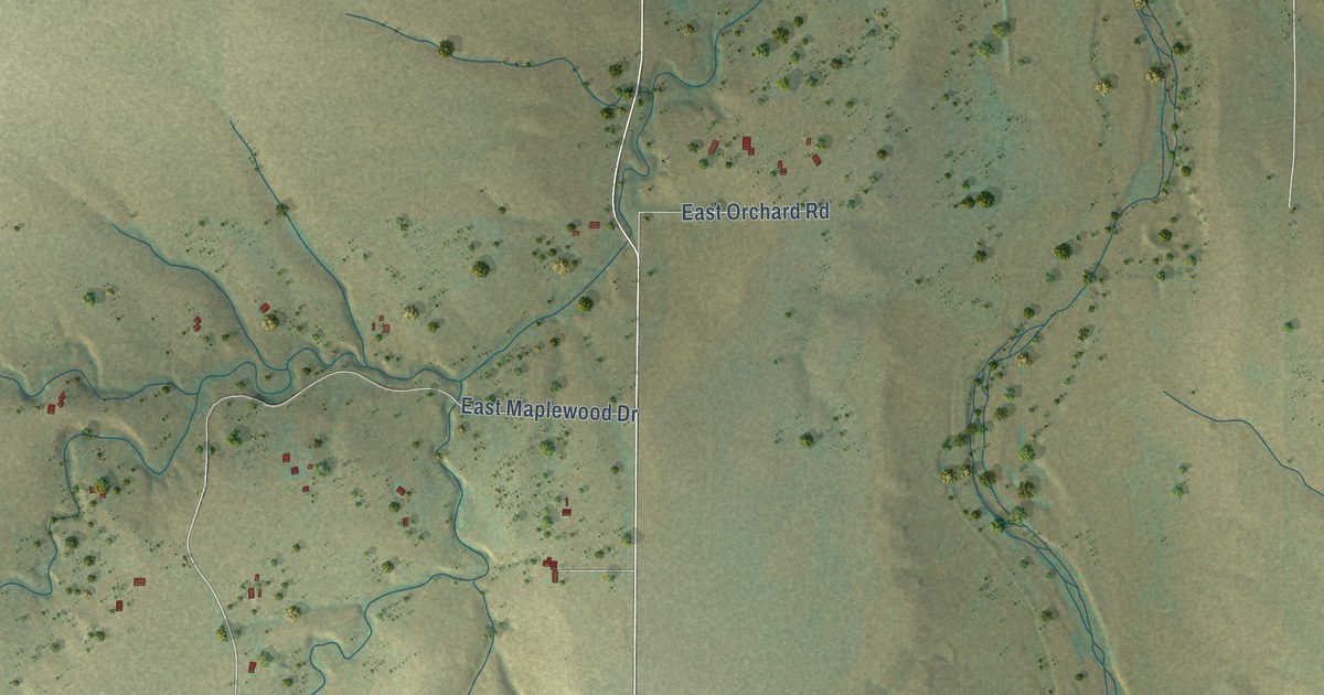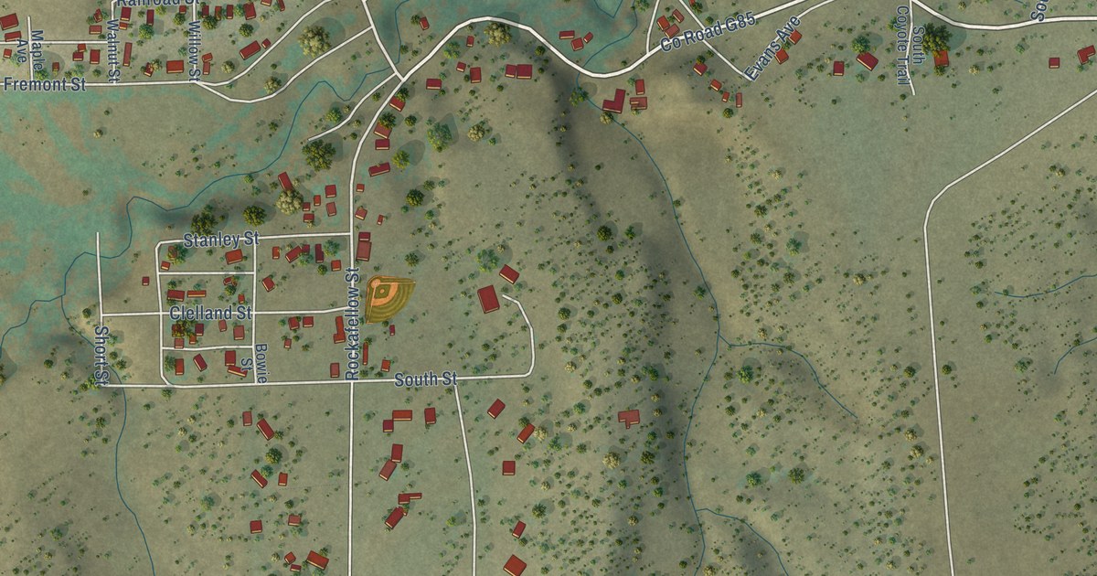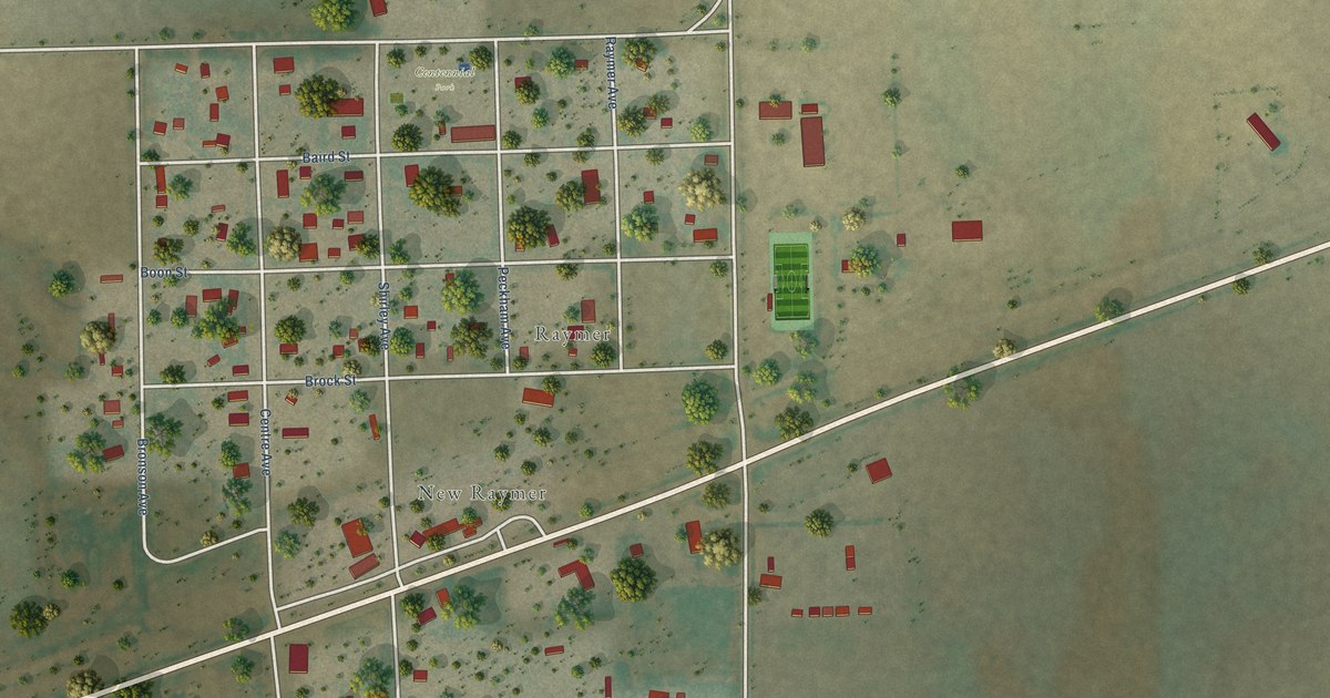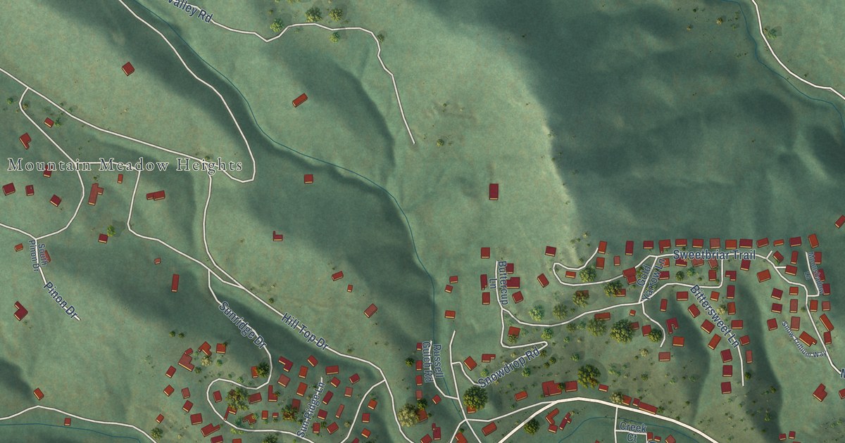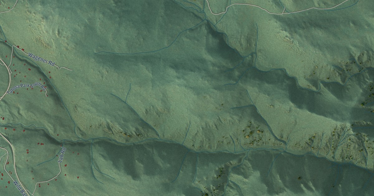
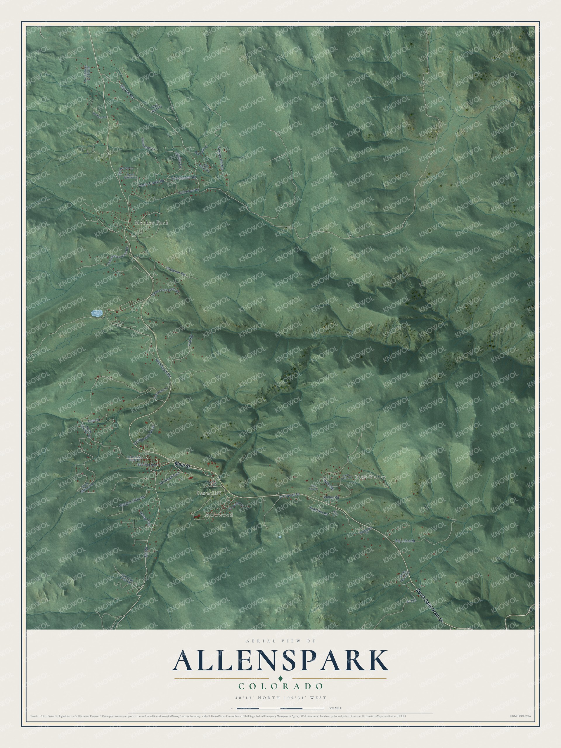
This beautifully detailed map of Allenspark, Colorado was created in 2026 using aerial imagery combined with modern topographical, census, street and landmark data. It's a modern aerial view of Allenspark in Boulder County, Colorado, that combines modern data with a vintage aesthetic. The roads feature printed names, and if you look closely you can find your exact house accurately shown in its correct location.
Explore an aerial view of Allenspark, Colorado
On this map you'll find Pine Valley, Arrowood, Ferncliff, Meeker Park, Main Street, South Saint Vrain Drive, Ski Road, Ski Road East, Big Owl Road, Arrowood Drive, Post Hill Road, Cabin Creek Road, and more. Each red shape is a building, so zoom in on the preview and look for yours.
Allenspark has a story worth telling. Allenspark is named for Alonzo Allen, who settled in the area in 1864. In 1896 George Mack homesteaded nearly two miles west of Allen's first homesite and named it the Allenspark Land and Townsite, which grew into today's village. Apart from a flurry of gold mining from about 1903 to 1912, the community stayed small. That's from the National Register of Historic Places.
Allenspark is a community in Boulder County. The Census Bureau counted 568 people here in 2020.
Take a closer look at the Allenspark map
Names on this map
These names are printed on this map.
Places: Pine Valley, Arrowood, Ferncliff and Meeker Park.
Streets and roads: Main Street, South Saint Vrain Drive, Ski Road, Ski Road East, Big Owl Road, Arrowood Drive, Post Hill Road, Cabin Creek Road, Wild Basin Road, Big John Road, Coyote Hill Road, Dale Drive.
More street names, A to Z
Arrowood Lane, Bill Waite Road, Blue Jay Lane, Blue Jay Way, Clarabell Lane, County Highway 84-W, County Highway 113 North, Fisk-Fenner Road, Fr 115, Haugen Slide Road, Iron Clad View Road, Kittle Court, Lab Road, Langley Lane, Mount Meeker Lane, Norske Trail, North Skinner Road, Park Street, Ponderosa Lane, Rockledge Circle, Rockwood Lane, Saint Vrain Road, Second Avenue, South Skinner Road, Sutherland Road, Tahosa Park North Road, Tahosa Park South Road, Taylor Road, Triple Creek Ranch Road, Valley Road, Wagener Road, White House Cr, Whiz Bang Road, Zumwinkel Lane.
See it on a wall
The Allenspark map as a framed print. Swipe for more.


Created by KNOWOL in 2026. The buildings are small red shapes, the roads carry their printed names, and shaded relief shows the shape of the land. The title panel reads "AERIAL VIEW OF ALLENSPARK, COLORADO" with 40°13' NORTH 105°31' WEST.
It looks right in a kitchen, an office or a den, and it's a gift for anyone who grew up in Allenspark or moved away. Open the preview and find your street. See sizes and frames for the Allenspark map.