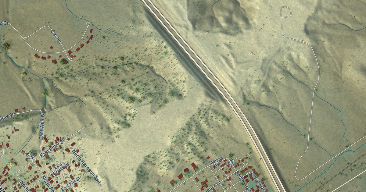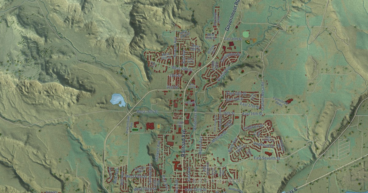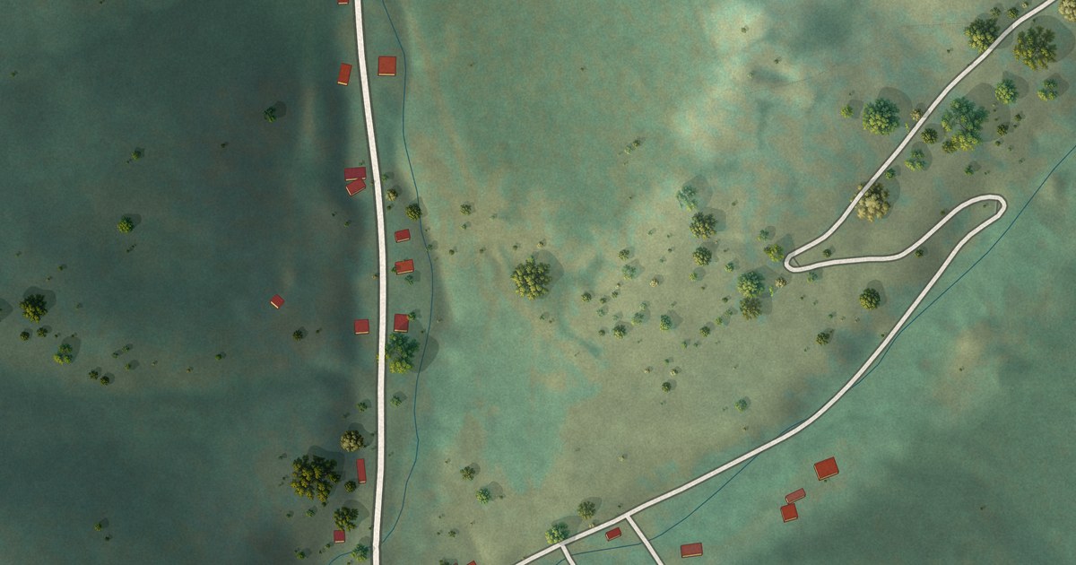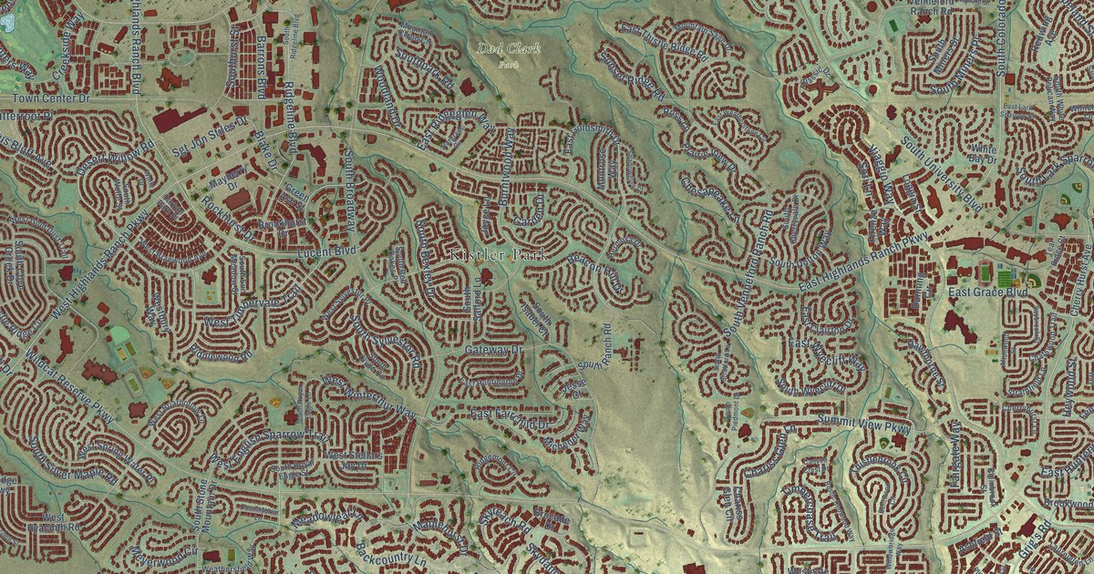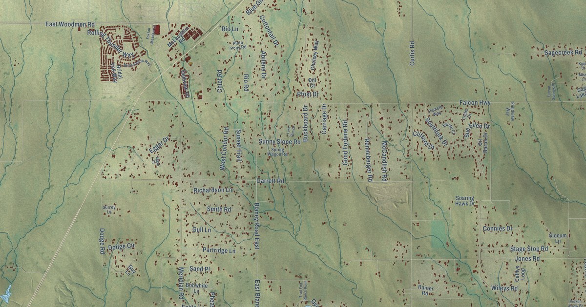
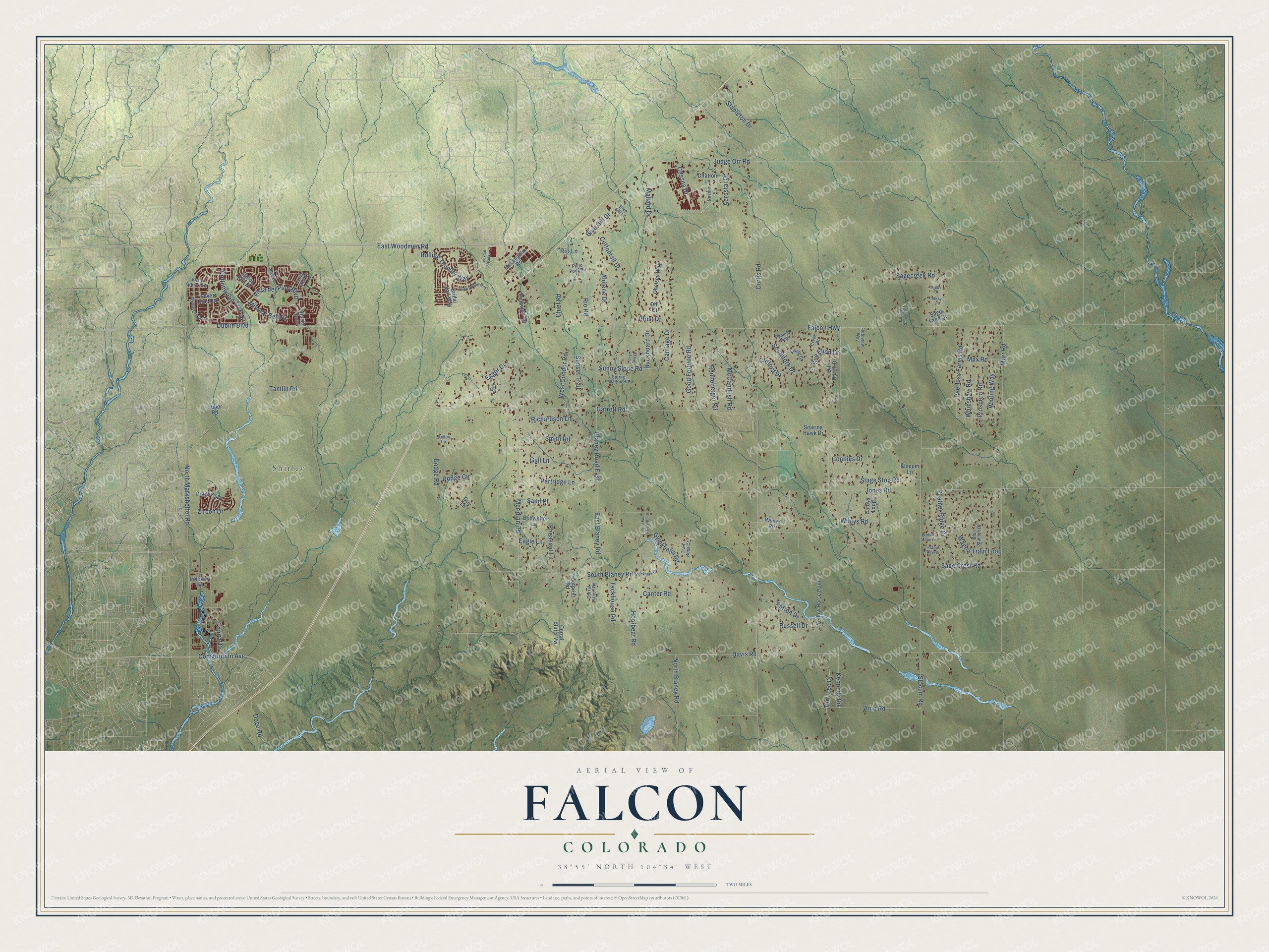
This beautifully detailed map of Falcon, Colorado was created in 2026 using aerial imagery combined with modern topographical, census, street and landmark data. It’s a one-of-a-kind view of Falcon that combines accurate data with a vintage aesthetic. The map shows every building in its true location, many of the roads carry their names, and the shaded topographic relief shows the shape of the land.
Explore an aerial view of Falcon, Colorado
On the map you’ll find Shirley, along with Hoofbeat Road, Amo Road, Curtis Road, Davis Road, Wileys Road, Meridian Road, Falcon Highway, East Woodmen Road, Garrett Road, Slocum Road, Jones Road, and more. If you look closely you can even find your house accurately drawn in its correct location. Zoom in on the preview to look for yours.
Did You Know?
From Internet Archive: "Carmargo was founded on March 5, 1749, and placed in charge of Bias Maria de la Garza Falcon."
Falcon is a community in El Paso County.
Take a closer look at the Falcon map
Names on this map
These names are printed on this map.
Places: Shirley.
Streets and roads: Hoofbeat Road, Amo Road, Curtis Road, Davis Road, Wileys Road, Meridian Road, Falcon Highway, East Woodmen Road, Garrett Road, Slocum Road, Jones Road, Tamlin Road.
More street names, A to Z
Abilene Drive, Aerostar Drive, Birch Hollow Way, Blaney Road East, Blue Gill Drive, Blue Gill Lane, Blue Stallion Drive, Bobwhite Lane, Bridal Vail Way, Broken Arrow Drive, Buckboard Drive, Canter Road, Capital Drive, Carriage Drive, Cathys Loop, Cessna Drive, Chelsey Way, Chief Road, Citation Lane, Clifford Drive, Connies Drive, Constitution Avenue, Corral Bluffs Vw, Corral Ranch Road, Cottontail Drive, Cottonwood Tree Drive, Crebs Drive, Dill Court, Dodge Circle, Dodge Road, Doge Road, Dublin Boulevard, Eagle Lane, East Blaney Road, Eggar Court, Eggar Drive, Ewing Court, Falcon Springs Place, Fauna Glen Drive, Feather Ridge Drive, Fieldview Way, Foxtail Meadow Lane, Gelbvieh Road, Good Fortune Road, Graphite Drive, Gull Lane, Guy Lane, Gymkhana Road, Hoofprint Road, Huber Road, Industry Road, Judge Orr Road, Kennedy Road, Kippy Court, Lost Rim Drive, Mallard Drive, Max Road, McCandlish Road, McLaughlin Road, Mineral Belt Drive, Missy Lane, Murr Road, Myrtle Creek Drive, Navion Lane, North Blaney Road, North Marksheffel Road, Oil Baron Drive, Pamela Way, Partridge Lane, Patton Drive, Peerless Farms Road, Pfost Drive, Pheasant Lane, Pinto Pony Road, Prairie View Drive, Prospero Road, Rainer Road, Renneberger Road, Richardson Lane, Rim Bluff Lane, Rio Lane, Rio Road, Rolling Thunder Way, Russell Drive, Sagecreek Road, Sage Crest Road, Sage Lake Court, Sand Place, Silver Birch Drive, Slocum Lane, Smith Road, Soaring Hawk Drive, South Blaney Road, Southfork Drive, Spring Wagon Road, Stage Stop Road, Stapleton Drive, Stockman Court, Sue Ellen Drive, Sunny Slope Road, Sunset Trail, Surrey Lane, Tackhouse Road, Tahoe Rim Drive, Terri Lee Drive, Trail Boss Court, Trail End Ranch Point, Vis del Terra, Vista Cerro Avenue, Vista del Pico Boulevard, Wagon Train Loop, West Condor Road, Whipshaw Road, Whiting Way, Yellow Horse Point, Zircon Drive.
See it on a wall
The Falcon map as a framed print. Swipe for more.


This beautifully detailed map of Falcon makes an attractive addition to your office, library, or den, and it can even be used to teach children the geography and history of the area. It also makes a great gift for someone who left Falcon and still calls it home. When you’re done exploring, click here to get your copy of the Falcon map.