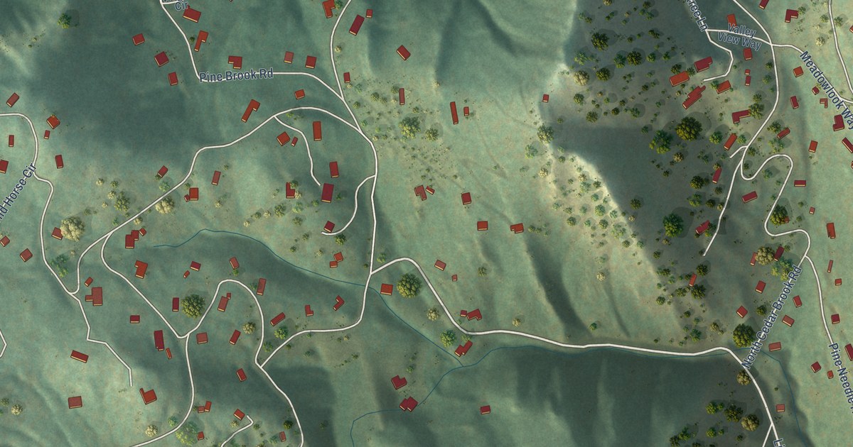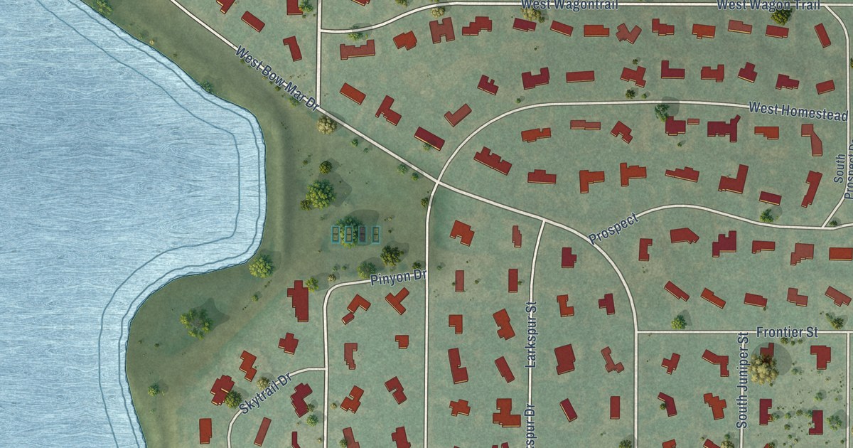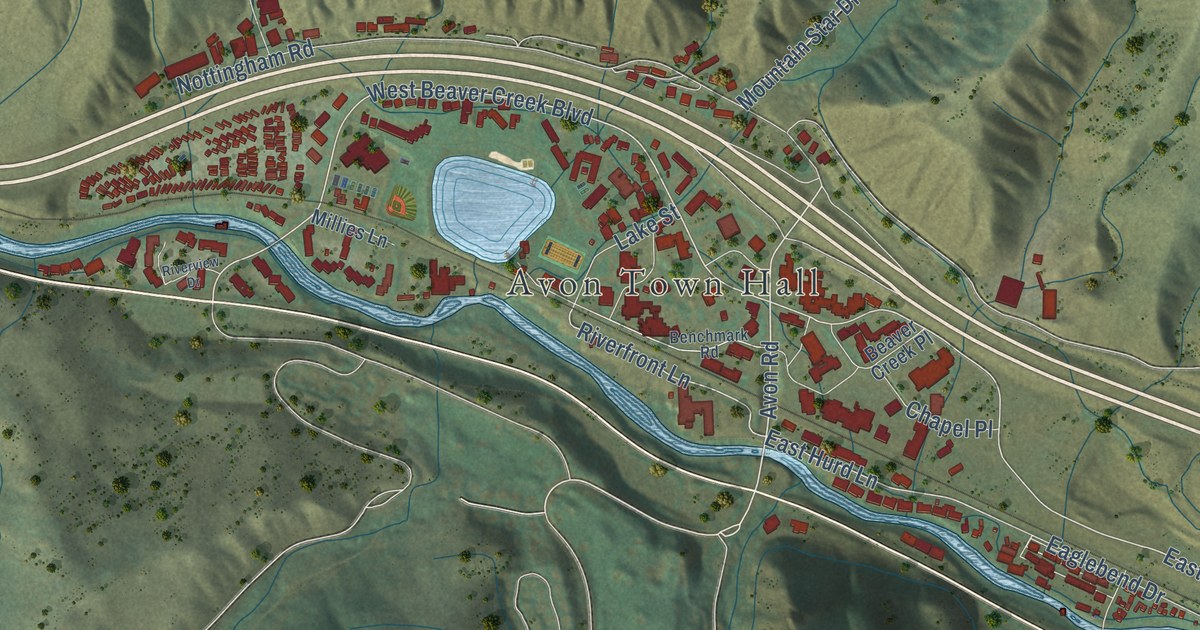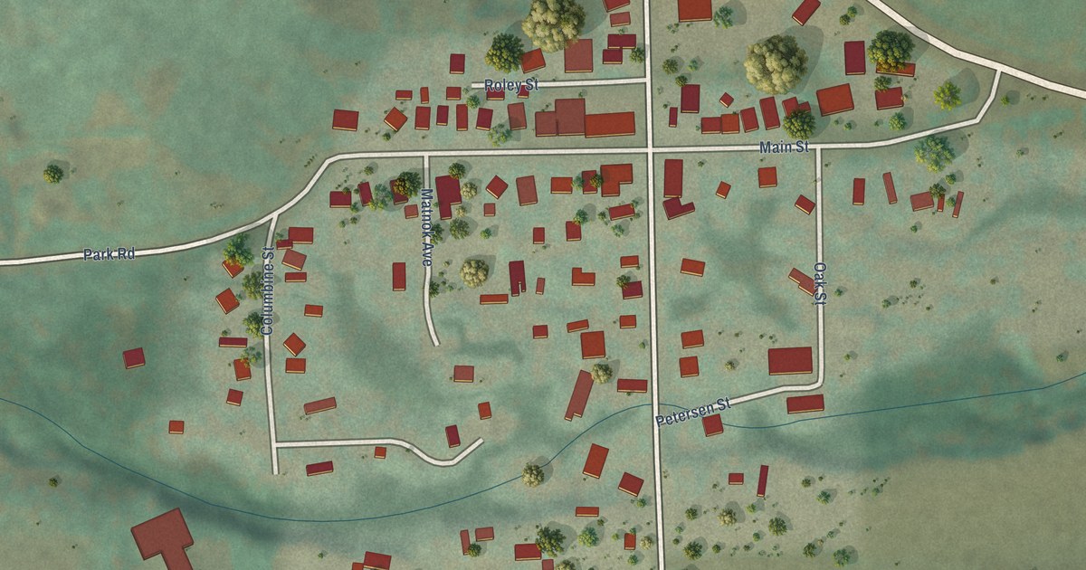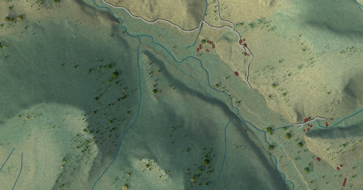
This beautifully detailed map of Cathedral, Colorado was created in 2026 using aerial imagery combined with modern topographical, census, street and landmark data. It’s a one-of-a-kind view of Cathedral that combines accurate data with a vintage aesthetic. The map shows every building in its true location, many of the roads carry their names, and the shaded topographic relief shows the shape of the land.
Explore an aerial view of Cathedral, Colorado
On the map you’ll find Highway 27, and more. If you look closely you can even find your house accurately drawn in its correct location. Zoom in on the preview to look for yours.
Did you know this piece of Cathedral, Colorado history?
In 1925 a Saturday Evening Post story described Cathedral as merely a wide place in the road. A tractor roared and mule skinners worked clattering scrapers there, as the Forest Service blasted an automobile road along the Cebolla over what had been a little used trail. The writers had left their pack outfit there to ride over the Continental Divide toward the old mining town of Creede. That's from the Saturday Evening Post.
Take a closer look at the Cathedral map
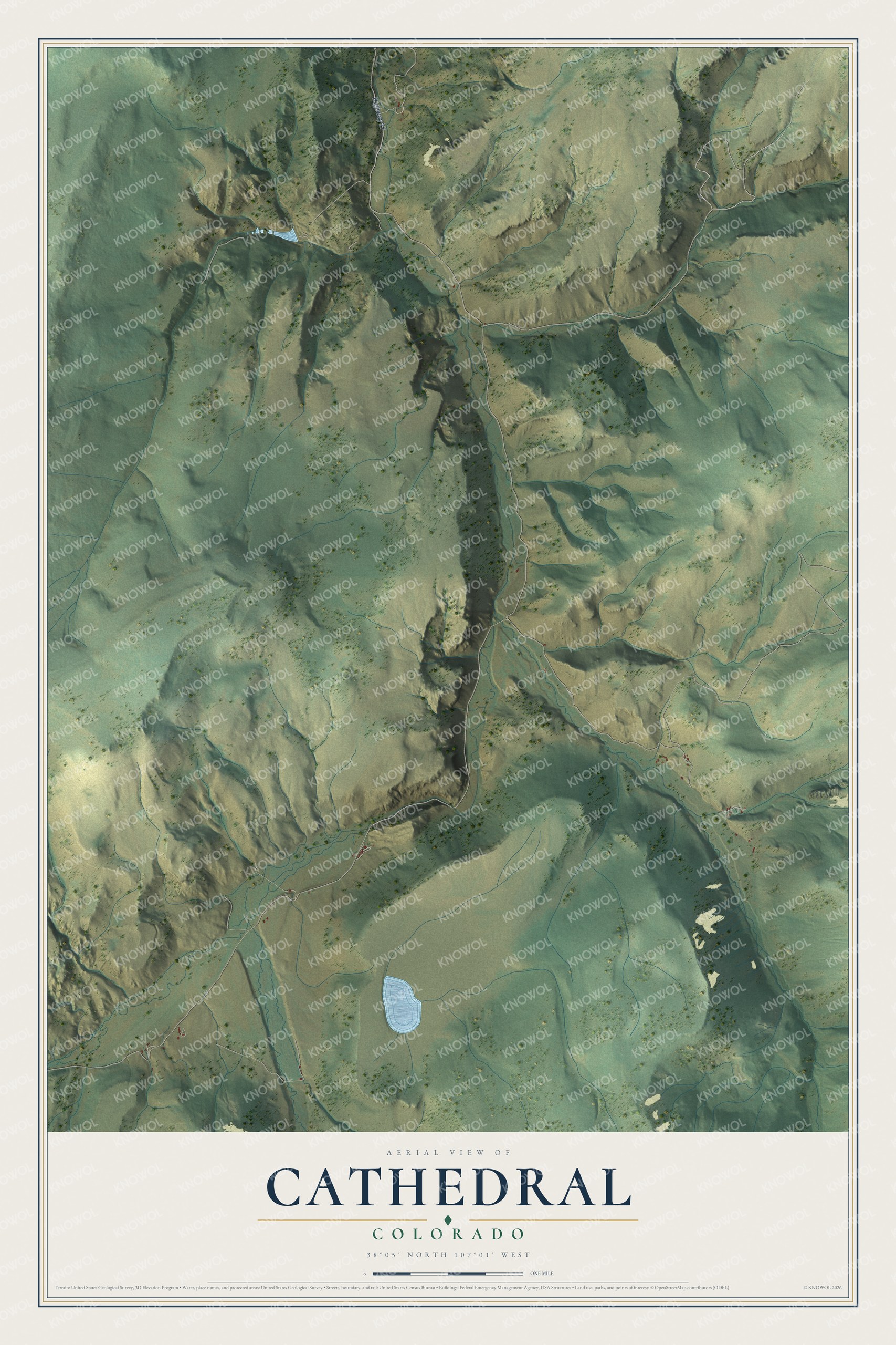
See the Cathedral, Colorado map on a wall
The Cathedral map as an 18 x 24 inch print in a black frame.

This beautifully detailed map of Cathedral makes an attractive addition to your office, library, or den, and it can even be used to teach children the geography and history of the area. It also makes a great gift for anyone with Cathedral roots. When you’re done exploring, click here to get your copy of the Cathedral map.