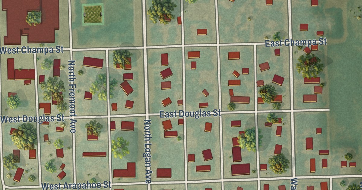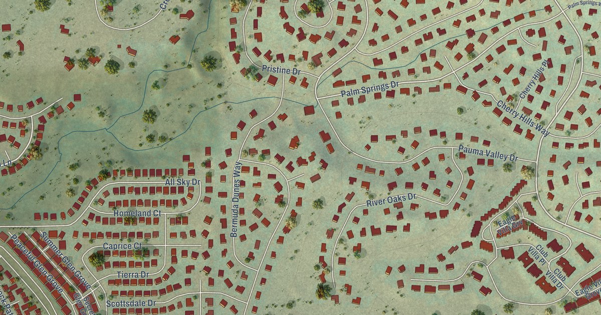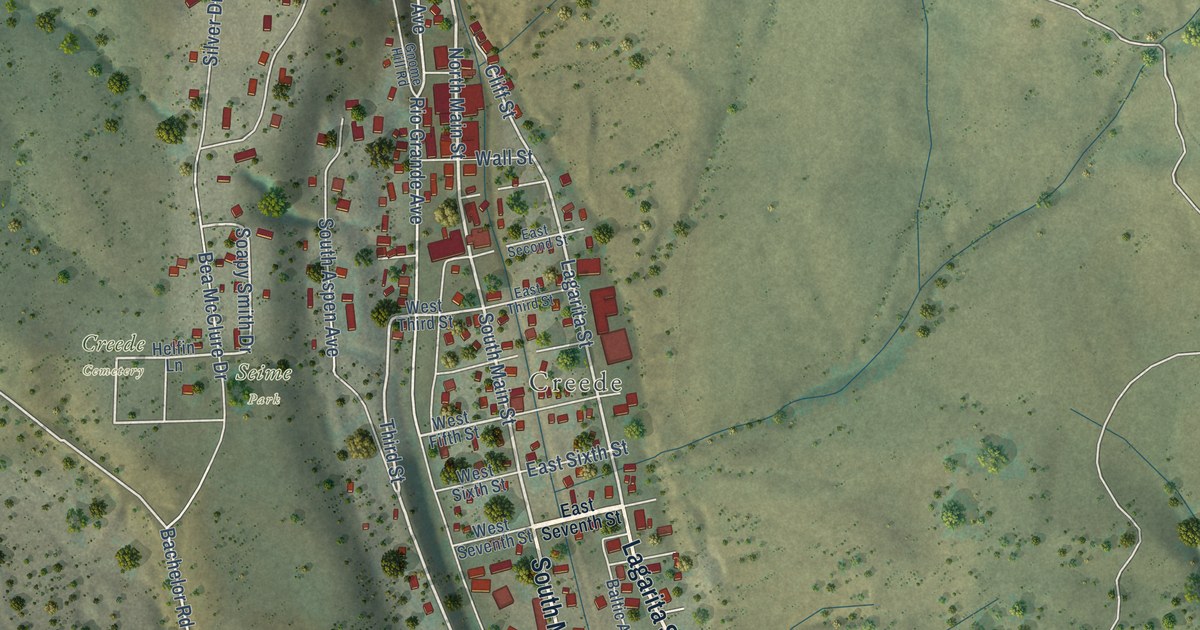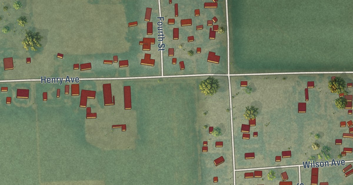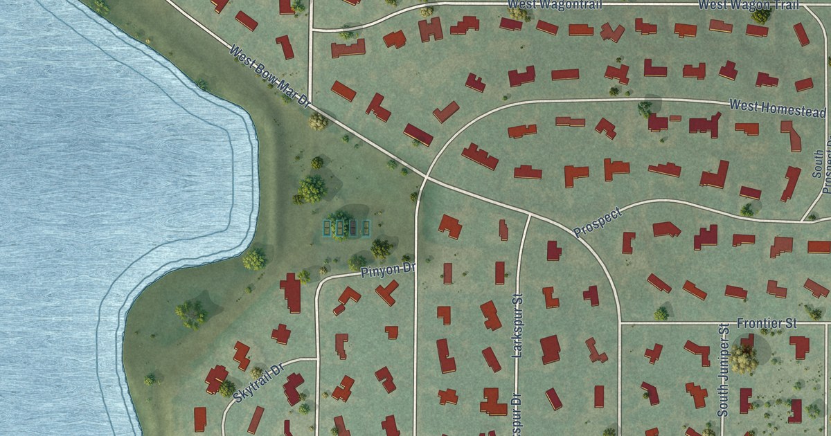
This beautifully detailed map of Bow Mar, Colorado was created in 2026 using aerial imagery combined with modern topographical, census, street and landmark data. It’s a one-of-a-kind view of Bow Mar that combines accurate data with a vintage aesthetic. The map shows every building in its true location, many of the roads carry their names, and the shaded topographic relief shows the shape of the land.
Explore an aerial view of Bow Mar, Colorado
On the map you’ll find West Wagontrail and West Homestead, along with South Sheridan Boulevard, Bow Mar Drive, Pinyon Drive, Lake Shore Drive, West Bow Mar Drive, South Juniper Street, Ridge Trail, Aspen Drive, and more. If you look closely you can even find your house accurately drawn in its correct location. Zoom in on the preview to look for yours.
Did you know this about Bow Mar, Colorado?
From the Town of Bow Mar: "Bow Mar is comprised of approximately 300 single-family homes on one acre lots with a population of just under 900 people and is bordered by the cities of Littleton and Denver. The name Bow Mar is derived from combining the names of two nearby lakes, Bowles Lake and Marston Reservoir."
Take a closer look at the Bow Mar map
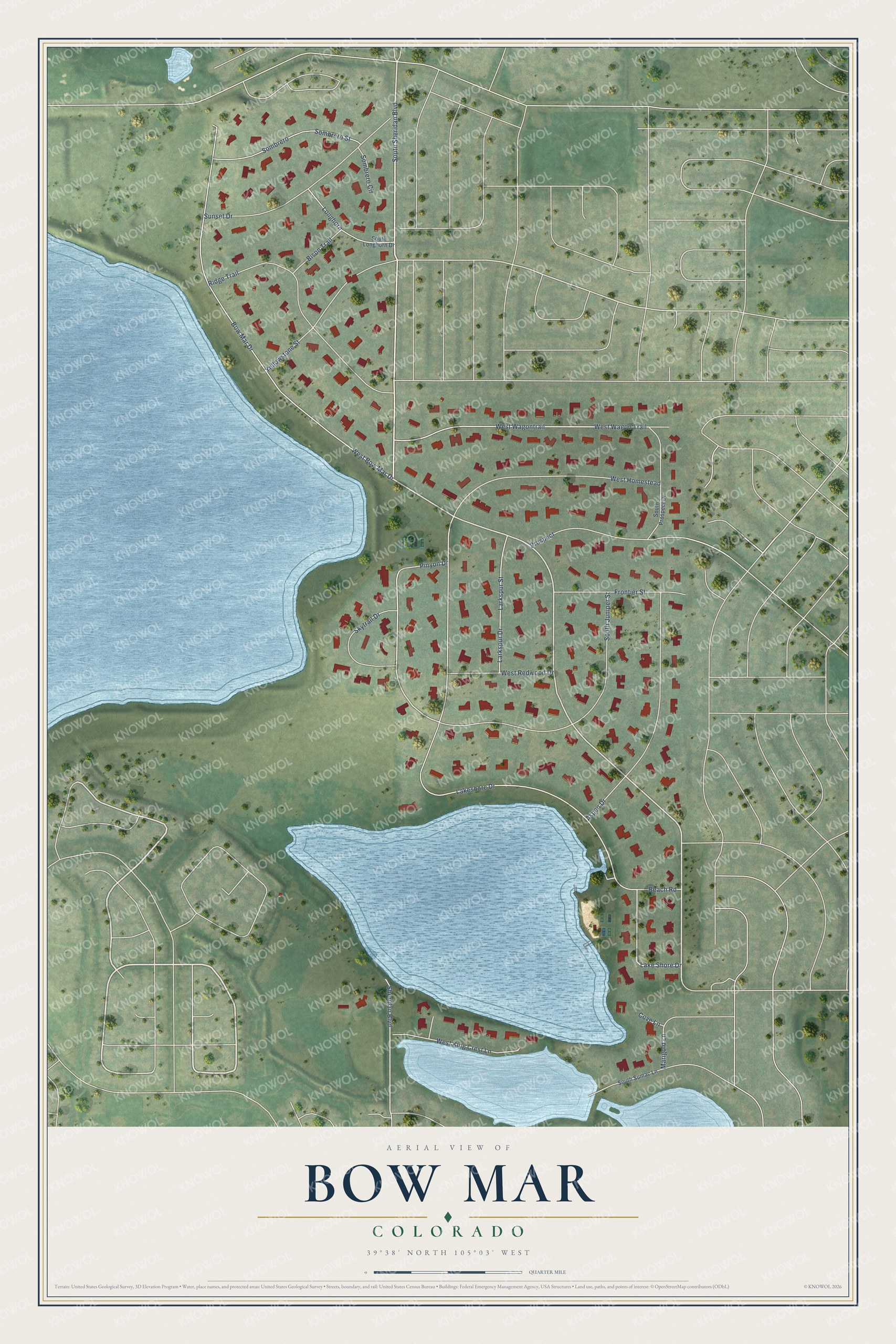
Street names on the Bow Mar, Colorado map
These names are printed on the map of Bow Mar, Colorado.
Streets and roads: South Sheridan Boulevard, Bow Mar Drive, Pinyon Drive, West Wagontrail, Lake Shore Drive, Lakeshore Drive, West Bow Mar Drive, South Juniper Street, West Wagon Trail, Ridge Trail, Aspen Drive, West Homestead.
More street names, A to Z
Beach Road, Bison Trail, Cove Lane, Frontier Street, Larkspur Drive, Larkspur Street, Longhorn, Marigold Lane, Prospect, Sheridan Boulevard, Skytrail Drive, Sombrero, Sombrero Circle, Sombrero Street, South Longhorn Drive, South Prospect Drive, South Sumac Lane, Sunset Drive, West King Crest Lane, West Redwood Drive, Yellowstone Street.
See the Bow Mar, Colorado map on a wall
The Bow Mar map as an 18 x 24 inch print in a black frame.

This beautifully detailed map of Bow Mar makes an attractive addition to your office, library, or den, and it can even be used to teach children the geography and history of the area. It also makes a great gift for anyone with Bow Mar roots. When you’re done exploring, click here to get your copy of the Bow Mar map.