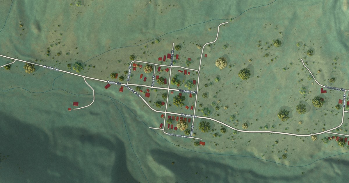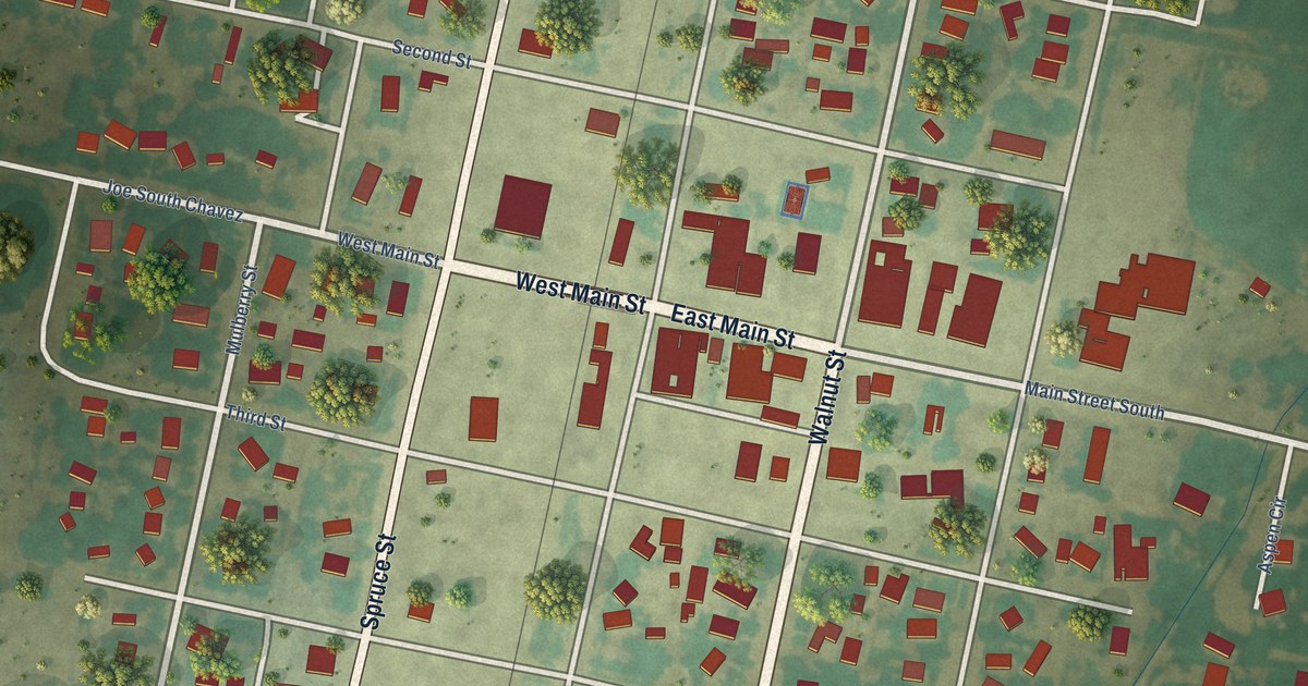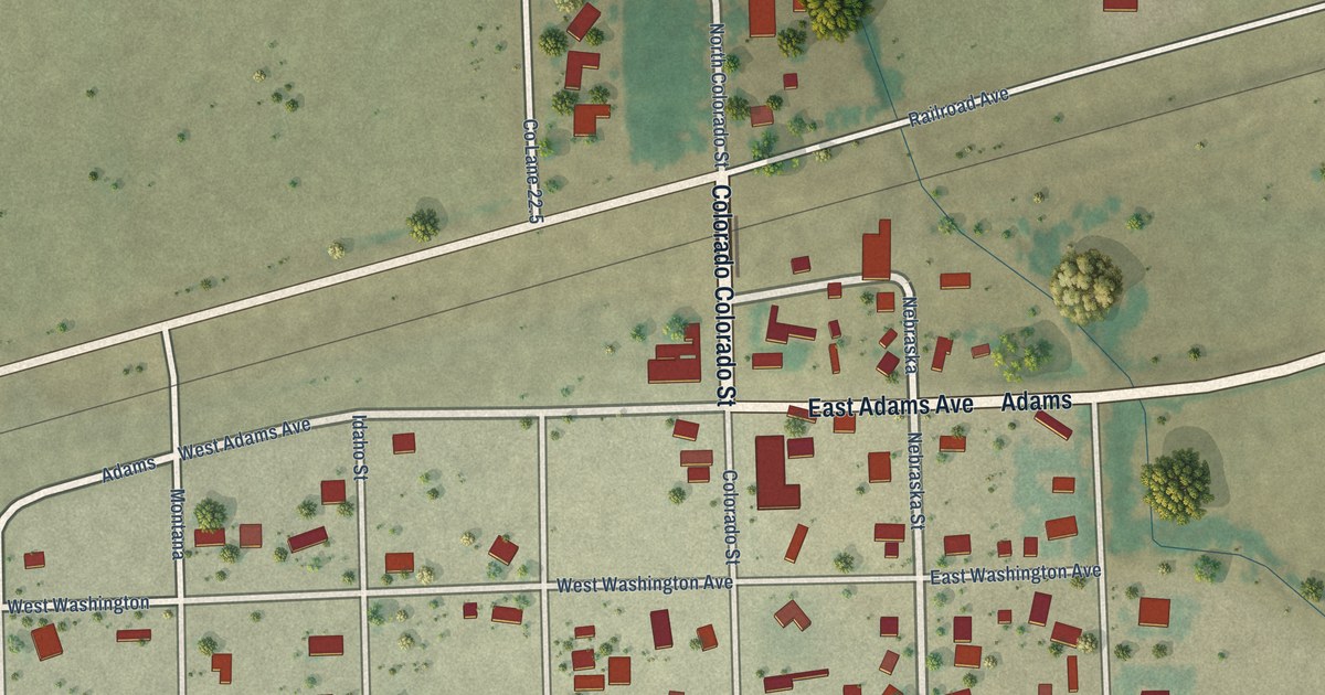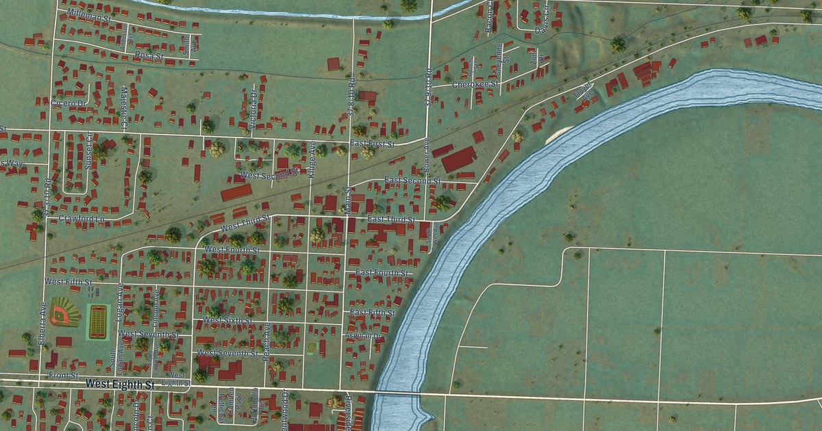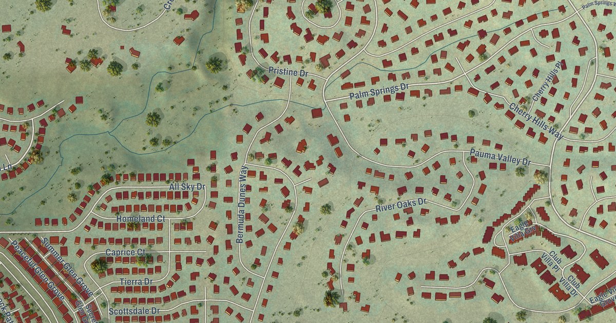
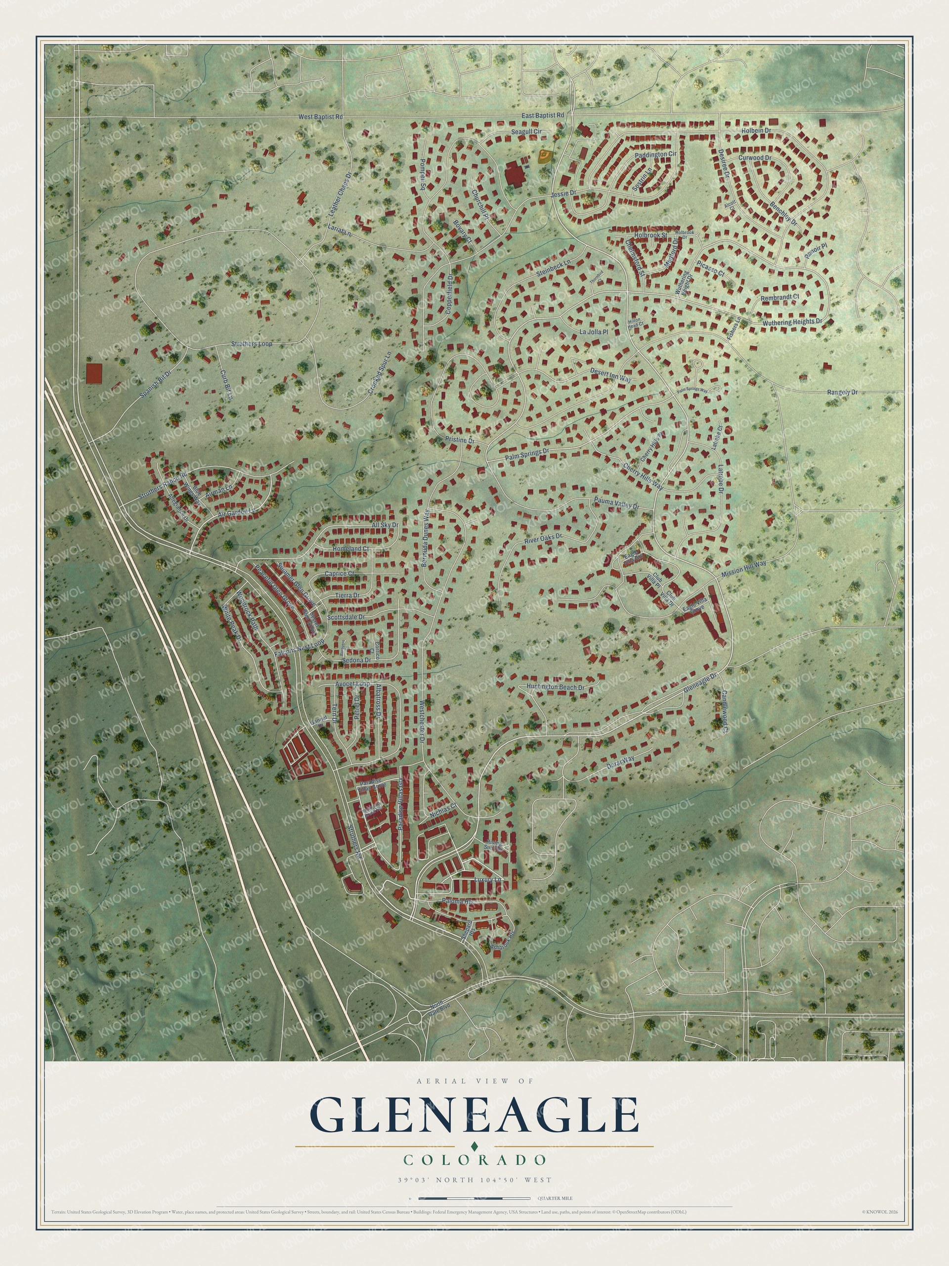
This beautifully detailed map of Gleneagle, Colorado was created in 2026 using aerial imagery combined with modern topographical, census, street and landmark data. It's a modern aerial view of Gleneagle in El Paso County, Colorado, that combines modern data with a vintage aesthetic. The roads feature printed names, and if you look closely you can find your exact house accurately shown in its correct location.
Explore an aerial view of Gleneagle, Colorado
On this map you'll find Gleneagle Drive, Luxury Lane, Air Garden Lane, Palm Springs Drive, Wuthering Heights Drive, Mission Hill Way, Paradise Villas Grv, Desert Inn Way, All Sky Drive, White Peak Drive, Nichlas Court, Struthers Road, and more. Each red shape is a building, so zoom in on the preview and look for yours.
Gleneagle is a community in El Paso County. The Census Bureau counted 6,649 people here in 2020. Gleneagle sits about 3 miles southeast of Monument, 4 miles northeast of Air Force Academy and 5 miles south of Woodmoor. The map prints the town name in its title panel, with the coordinates below it.
Take a closer look at the Gleneagle map
Names on this map
These names are printed on this map.
Streets and roads: Gleneagle Drive, Luxury Lane, Air Garden Lane, Palm Springs Drive, Wuthering Heights Drive, Mission Hill Way, Paradise Villas Grv, Desert Inn Way, All Sky Drive, White Peak Drive, Nichlas Court, Struthers Road.
More street names, A to Z
Airman Lane, Albatross Drive, Alcott Court, Allegiance Drive, Ashbrook Heights, Avocet Loop, Barquero Court, Benchley Drive, Bermuda Dunes Way, Blue Wings Way, Bovary Court, Candlewood Court, Caprice Court, Chelmsford Street, Cherry Hills Place, Cherry Hills Way, Churchill Place, Club Villa Drive, Club Villa Place, Copperfield Drive, Corrico Court, Crooked Spur Lane, Curb Bit Lane, Curwood Drive, Desiree Drive, Doral Way, Eagle Villa Grove, Eagle Villa Grv, East Baptist Road, Falcons Nest Loop, Fishers Lane, Gannet Drive, Hilton Head Court, Holbein Drive, Holbrook Drive, Holbrook Street, Homeland Court, Huntington Beach Drive, Jessie Drive, La Jolla Place, Lariat Lane, Latrobe Court, Latrobe Drive, Leather Chaps Drive, Medford Drive, Mountain Brush Heights, North Gate Boulevard, Paddington Circle, Palm Springs Way, Paloma Heights, Paradise Villas Grove, Pauma Valley Drive, Peaceful Glen Grove, Petrel Drive, Picasso Court, Pompeii Square, Pristine Drive, Rangely Drive, Rembrandt Court, Renoir Place, Rising Sun Terrace, River Oaks Drive, Scottsdale Drive, Seagull Circle, Secret Glen Grove, Sedona Drive, Shepard Heights, Sostrin Lane, Spanish Bit Drive, Steinbeck Lane, Struthers Loop, Struthers Ranch Road, Summer Glen Grove, Tern Drive, Thornbird Court, Tierra Drive, West Baptist Road, Westchester Drive, Woodrock Path, Wuthering Height Drive.
See it on a wall
The Gleneagle map as a framed print. Swipe for more.


Created by KNOWOL in 2026. The buildings are small red shapes, the roads carry their printed names, and shaded relief shows the shape of the land. The title panel reads "AERIAL VIEW OF GLENEAGLE, COLORADO" with 39°03' NORTH 104°50' WEST.
Hang it in the hallway, the office or the cabin, or give it to someone who left Gleneagle and still calls it home. Open the preview and look for a street you know. See sizes and frames for the Gleneagle map.