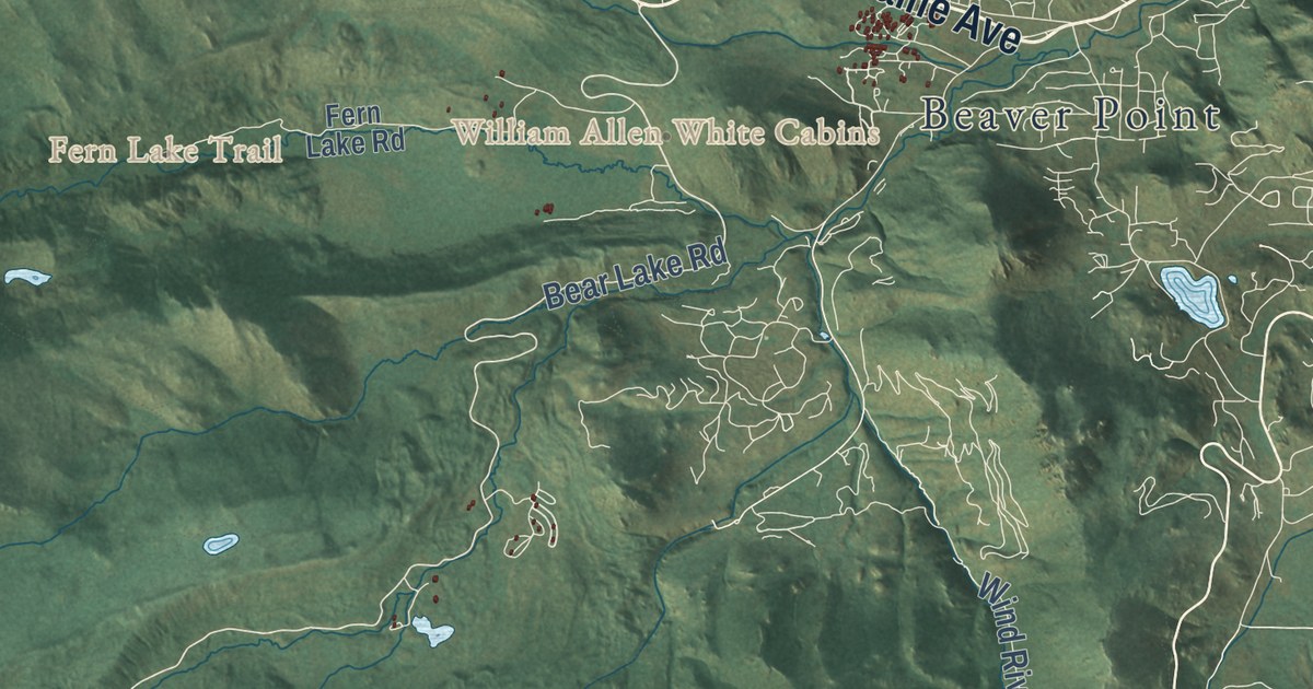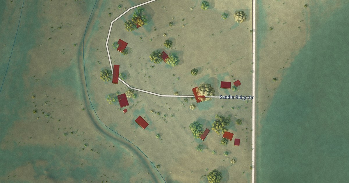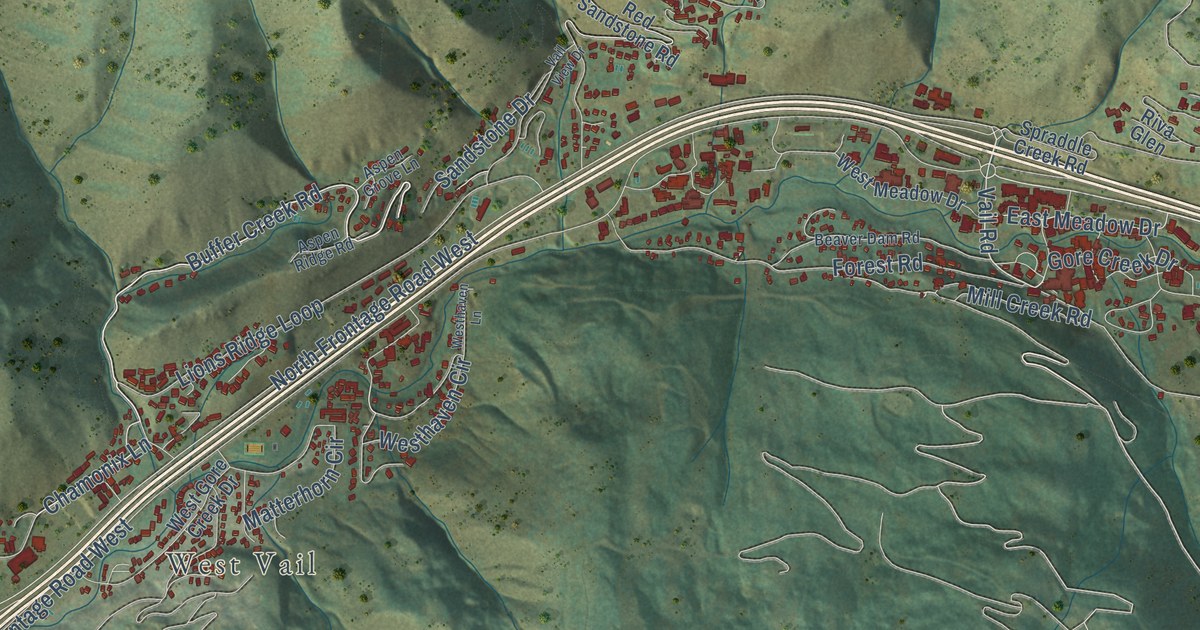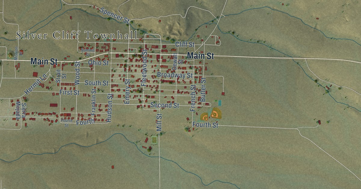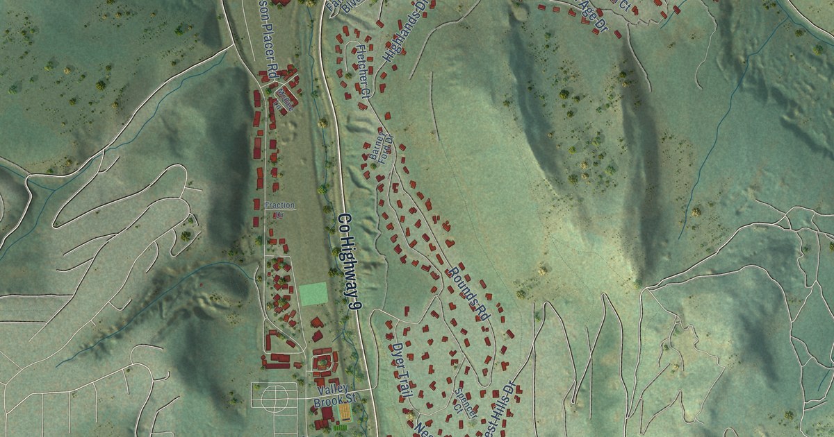
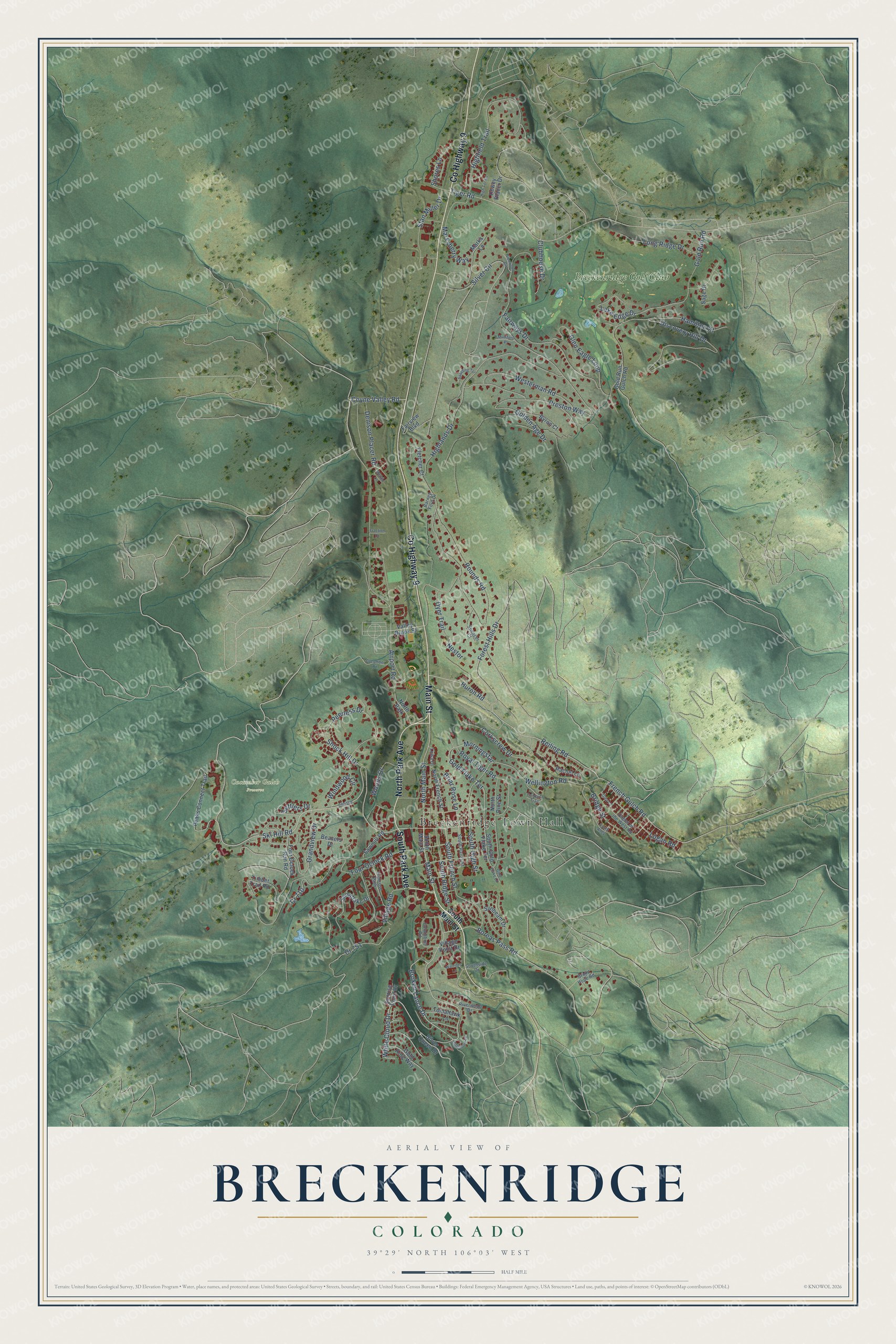
This beautifully detailed map of Breckenridge, Colorado was created in 2026 using aerial imagery combined with modern topographical, census, street and landmark data. It’s a one-of-a-kind view of Breckenridge that combines accurate data with a vintage aesthetic. The map shows every building in its true location, many of the roads carry their names, and the shaded topographic relief shows the shape of the land.
Explore an aerial view of Breckenridge, Colorado
On the map you’ll find Breckenridge Town Hall, Cucumber Gulch Preserve, and Breckenridge Golf Club, along with Main Street, North Park Avenue, County Highway 9, South Park Avenue, Ski Hill Road, North Main Street, Broken Lance Drive, Huron Road, White Cloud Drive, and more. If you look closely you can even find your house accurately drawn in its correct location. Zoom in on the preview to look for yours.
Did you know this piece of Breckenridge, Colorado history?
From the Colorado Encyclopedia: "A group led by Ruben J. Spalding found gold on August 10, 1859, in the Blue River near present-day Breckenridge. Miners and merchants flocked to the new settlement."
Take a closer look at the Breckenridge map
Street and place names on the Breckenridge, Colorado map
These names are printed on the map of Breckenridge, Colorado.
Places: Breckenridge Town Hall, Cucumber Gulch Preserve, Breckenridge Golf Club and North Park.
Streets and roads: Main Street, North Park Avenue, County Highway 9, South Park Avenue, Ski Hill Road, North Main Street, Broken Lance Drive, Huron Road, White Cloud Drive, Coyne Valley Road, Reiling Road, Royal Tiger Road.
More street names, A to Z
Airport Road, Barney Ford Drive, Beavers Drive, Boreas Pass Road, Briar Rose Lane, Bridge Street, Bright Hope Road, Byron Court, Campion Trail, Christie Lane, Clubhouse Drive, Columbine Road, Corkscrew Drive, Cr 710, Cr 751, Cucumber Road, Denison Placer Road, Dewey Placer Drive, Discovery Hill Drive, Dyer Trail, Fairview Boulevard, Fairways Drive, Fletcher Court, Flintstone Lane, Forest Hills Drive, Four Oclock Road, Four Oclock Run Road, Fraction Drive, French Gulch Road, Glen Eagle Loop, Glenwood Circle, Golden Age Drive, Gold Flake Court, Gold Flake Terrace, Gold King Way, Gold Run Gulch Road, Gold Run Road, Grandview Drive, Grey Lane, Hamilton Court, Highfield Trail, Highlands Drive, High Tor Road, Lake Edge Drive, Logan Road, Long Ridge Drive, Luisa Drive, Marksberry Way, Marks Lane, McGee Lane, Morningstar, Mumford Place, Nestor, North French Street, North Pine Street, Peaks Connect Trail, Peerless Drive, Preston Way, Primrose Path, Queen of the West Road, Rachel Lane, Riverwood Drive, Rounds Road, Sage Drive, Sawmill Road, Settlers Drive, Shock Hill Drive, Shores Lane, Silver Circle, Silver Queen Drive, Snowflake Drive, South Alley, South French Street, South Gold Flake Terrace, South Harris Street, South High Street, South Main Street, South Ridge Street, Southside Drive, Spalding Terrace, Spencer Court, Stan Miller Drive, Sunbeam Drive, Sunrise Point Drive, Tiger Road, Timber Trail Road, Tomahawk Lane, Valley Brook Street, Village Point Drive, Village Road, Warriors Lane, Wellington Road, Westerman Road, Windwood Circle, Woods Drive.
See the Breckenridge, Colorado map on a wall
The Breckenridge map as an 18 x 24 inch print in a black frame.

This beautifully detailed map of Breckenridge makes an attractive addition to your office, library, or den, and it can even be used to teach children the geography and history of the area. It also makes a great gift for anyone who grew up in Breckenridge or moved away. When you’re done exploring, click here to get your copy of the Breckenridge map.