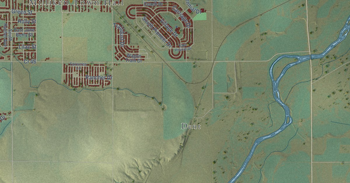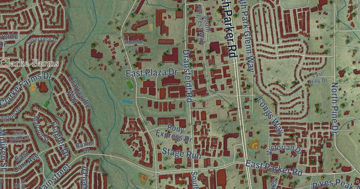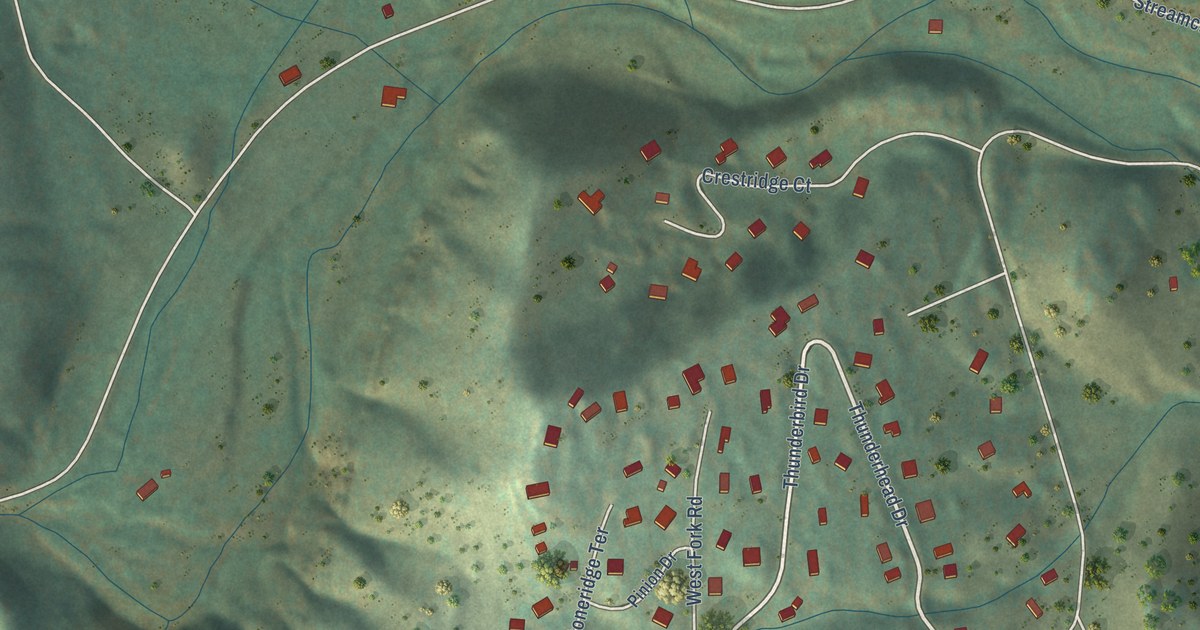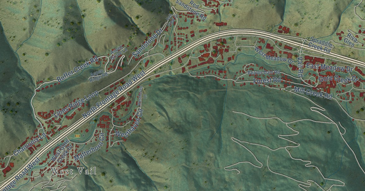
This beautifully detailed map of Vail, Colorado was created in 2026 using aerial imagery combined with modern topographical, census, street and landmark data. It’s a one-of-a-kind view of Vail that combines accurate data with a vintage aesthetic. The map shows every building in its true location, many of the roads carry their names, and the shaded topographic relief shows the shape of the land.
Explore an aerial view of Vail, Colorado
On the map you’ll find Bighorn, West Vail, and Ford Park, along with Buffer Creek Road, North Frontage Road East, Vail Road, South Frontage Road East, Vail Valley Drive, South Frontage Road, Big Horn Road, East Meadow Drive, North Frontage Road West, and more. If you look closely you can even find your house accurately drawn in its correct location. Zoom in on the preview to look for yours.
Did you know this piece of Vail, Colorado history?
From the Colorado Ski History: "With the USFS granting their operating permit, Vail’s opening day was set for December 15, 1962. During the summer of 1962, construction crews were busy erecting a Bell gondola from Vail Village to Mid Vail, two chairlifts, condos, and base facilities."
Take a closer look at the Vail map
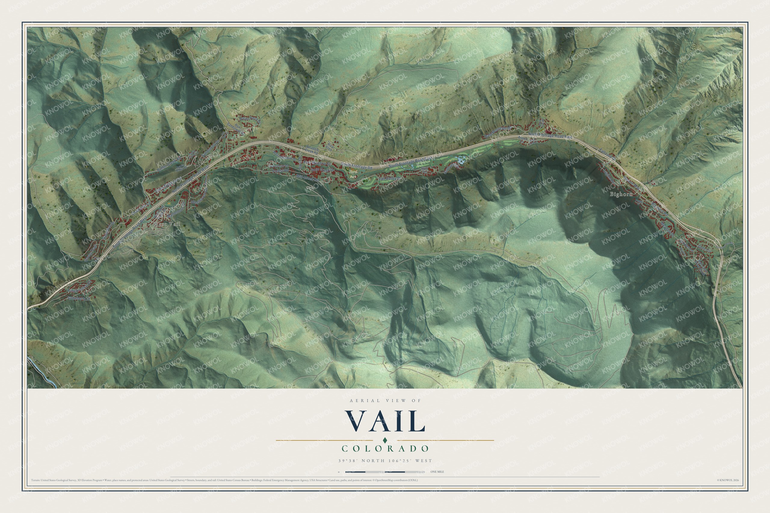
Street and place names on the Vail, Colorado map
These names are printed on the map of Vail, Colorado.
Places: Bighorn, West Vail and Ford Park.
Streets and roads: Buffer Creek Road, North Frontage Road East, Vail Road, South Frontage Road East, Vail Valley Drive, South Frontage Road, Big Horn Road, East Meadow Drive, North Frontage Road West, South Frontage Road West, Lions Ridge Loop, Forest Road.
More street names, A to Z
Arosa Drive, Aspen Grove Lane, Aspen Lane, Aspen Ridge Road, Bald Mountain Road, Beaver Dam Road, Booth Creek Drive, Booth Falls Road, Chamonix Lane, Davos Trail, Fall Line Drive, Garmisch Drive, Golf Terrace, Gore Circle, Gore Creek Drive, Juniper Lane, Kinnikinnick Road, Lupine Drive, Main Gore Drive South, Matterhorn Circle, Meadow Drive, Meadow Lane, Mill Creek Road, Nugget Lane, Potato Patch Drive, Red Sandstone Road, Riva Glen, Sandstone Drive, Snowberry Drive, Spraddle Creek Road, Spruce Way, Sunburst Drive, Vail Pass-Ten Mile, Vail View Drive, West Gore Creek Drive, Westhaven Circle, Westhaven Lane, West Meadow Drive.
See the Vail, Colorado map on a wall
The Vail map as an 18 x 24 inch print in a black frame.

This beautifully detailed map of Vail makes an attractive addition to your office, library, or den, and it can even be used to teach children the geography and history of the area. It also makes a great gift for anyone with Vail roots. When you’re done exploring, click here to get your copy of the Vail map.