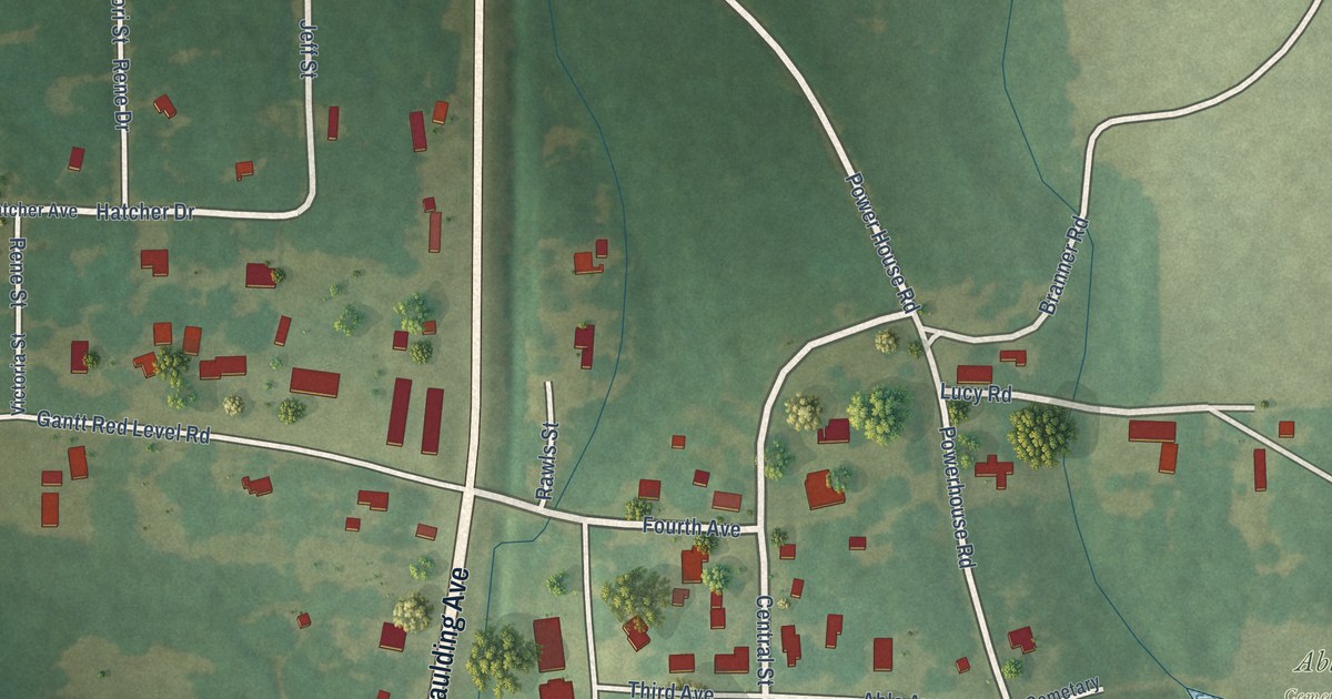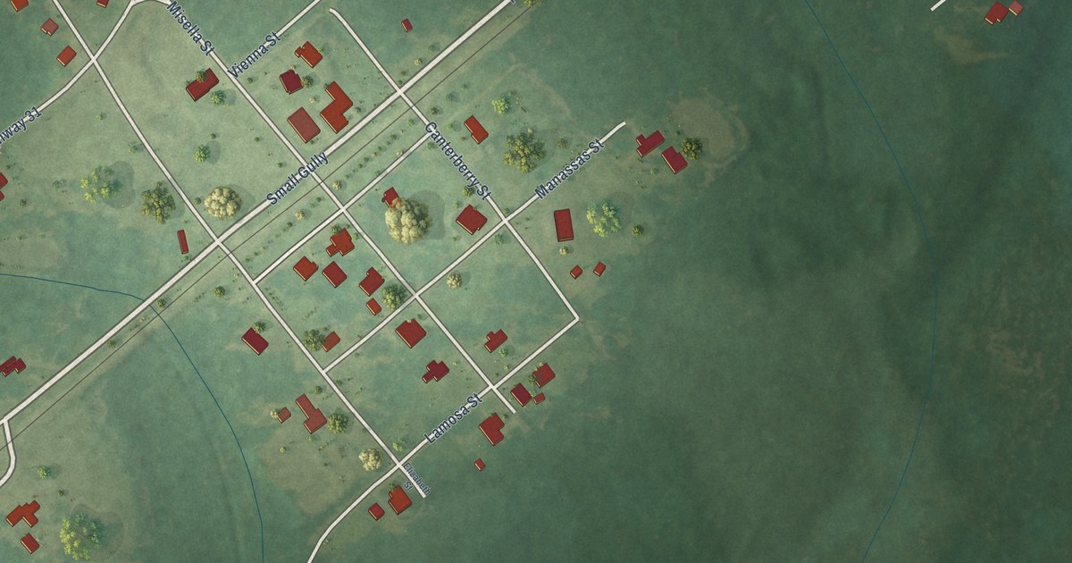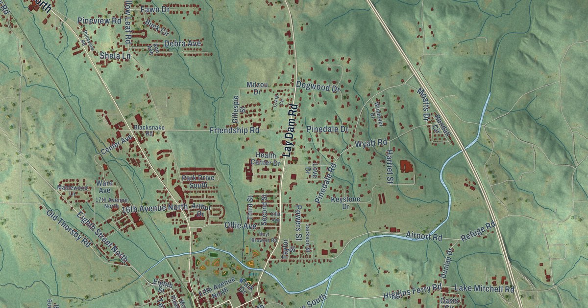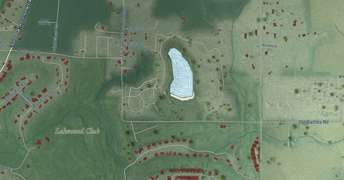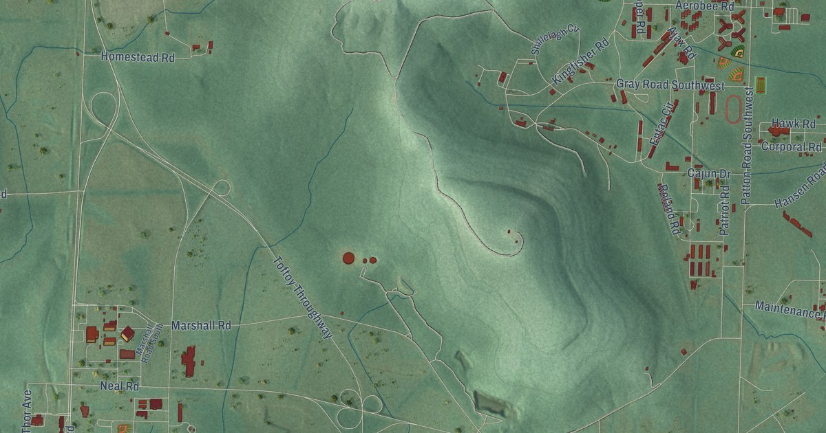
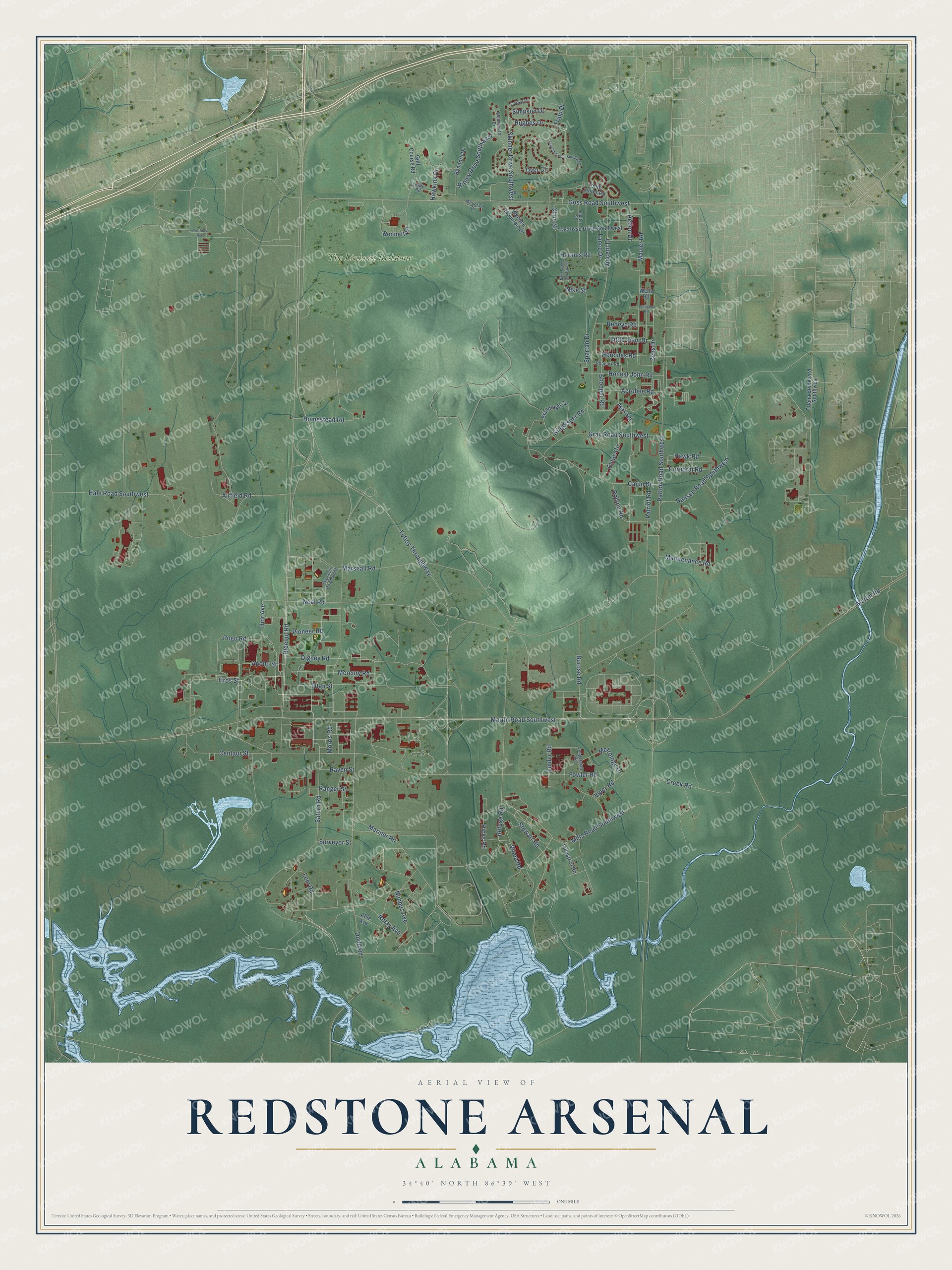
This beautifully detailed map of Redstone Arsenal, Alabama was created in 2026 using aerial imagery combined with modern topographical, census, street and landmark data. It’s a one-of-a-kind view of Redstone Arsenal that combines accurate data with a vintage aesthetic. The map shows every building in its true location, many of the roads carry their names, and the shaded topographic relief shows the shape of the land.
Explore an aerial view of Redstone Arsenal, Alabama
On the map you’ll find The Links at Redstone, along with Rideout Road, Stewart Road, Dodd Road, Tiros Street, Patton Road Southwest, Martin Road Southwest, Zeus Drive, Pioneer Road, Cline Street, Neal Road, Fowler Road, and more. If you look closely you can even find your house accurately drawn in its correct location. Zoom in on the preview to look for yours.
Did you know this piece of Redstone Arsenal, Alabama history?
The Redstone Test Stand, built by the Army in 1953 from salvaged materials, was the first test stand in the country to hold an entire rocket for static firing. It helped develop the Jupiter C and Mercury-Redstone rockets that launched the first American satellite and the first American manned spaceflight. After Sputnik, the Army's Redstone rocket team under von Braun put an American satellite in orbit on January 31, 1958, with a Jupiter C. Nine of the Mercury-Redstone rockets built for NASA's first manned program were tested in the stand, and two of them carried men into space. That's from the National Register of Historic Places.
Take a closer look at the Redstone Arsenal map
Street and place names on the Redstone Arsenal, Alabama map
These names are printed on the map of Redstone Arsenal, Alabama.
Places: The Links at Redstone.
Streets and roads: Rideout Road, Stewart Road, Dodd Road, Tiros Street, Patton Road Southwest, Martin Road Southwest, Zeus Drive, Pioneer Road, Cline Street, Neal Road, Fowler Road, Toftoy Throughway.
More street names, A to Z
Able Avenue, Action Drive, Aerobee Road, Airfield Road, Ajax Road, Apollo Street, Bennett Drive, Bomford Drive, Burose Road, Cajun Drive, Centaur Street, Cooke Drive, Corporal Road, Creek Road, Crowell Circle Southwest, Digney Road, Dyer Circle, Entac Circle, Golf Course Road, Goss Road Southwest, Gray Road Southwest, Hale Road Southwest, Hansen Road Southwest, Hawkins Drive, Hawk Road, Hercules Road, Hermes Road, Hicks Road, Homestead Road, Honest John Road, Hughes Drive, Industrial Road, Jungerman Road, Jupiter Street, Kingfisher Road, Lacrosse Drive Southwest, Lance Drive, Lem Road, Lewter Road, Linder Road, Little John Drive, Maintenance Road, Mariner Road, Marshall Road, Marshall Road South, Martin Road, Mauler Road, Mercury Road, Metrology Drive, Mills Road Southwest, Morris Road, Mountain Drive, Nike Street, Nike Street Southwest, Nimbus Avenue, Overlook Road, Patriot Road, Phoenix Road, Pogo Road, Ranger Street, Raven Street, Redeye Road, Refuge Road, Relay Avenue, Ripley Drive Southwest, Roland Road, Saturn Road, Shillelagh Circle, Simpson Drive, Skinner Drive Southwest, Snooper Road, Spartan Drive, Surveyor Street, Thor Avenue, Titan Street, Triana Boulevard Southwest, Tripp Drive, Vincent Drive, Viper Road, Wadsworth Drive, Weeden Mountain Drive, Wells Road, Williams Road, Wood Road, Youth Center Road.
See the Redstone Arsenal, Alabama map on a wall
The Redstone Arsenal map as an 18 x 24 inch print in a black frame.

This beautifully detailed map of Redstone Arsenal makes an attractive addition to your office, library, or den, and it can even be used to teach children the geography and history of the area. It also makes a great gift for anyone who grew up in Redstone Arsenal or moved away. When you’re done exploring, click here to get your copy of the Redstone Arsenal map.