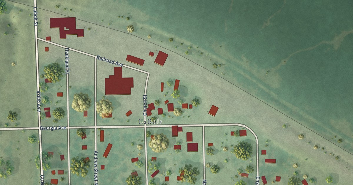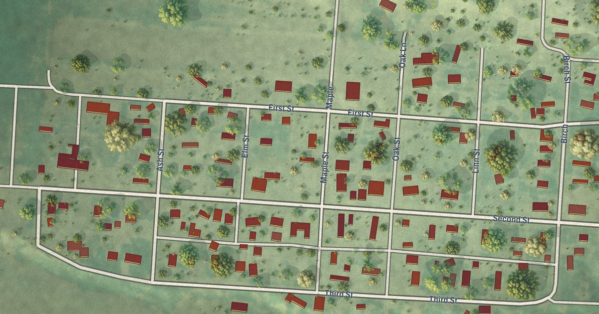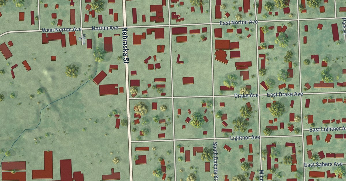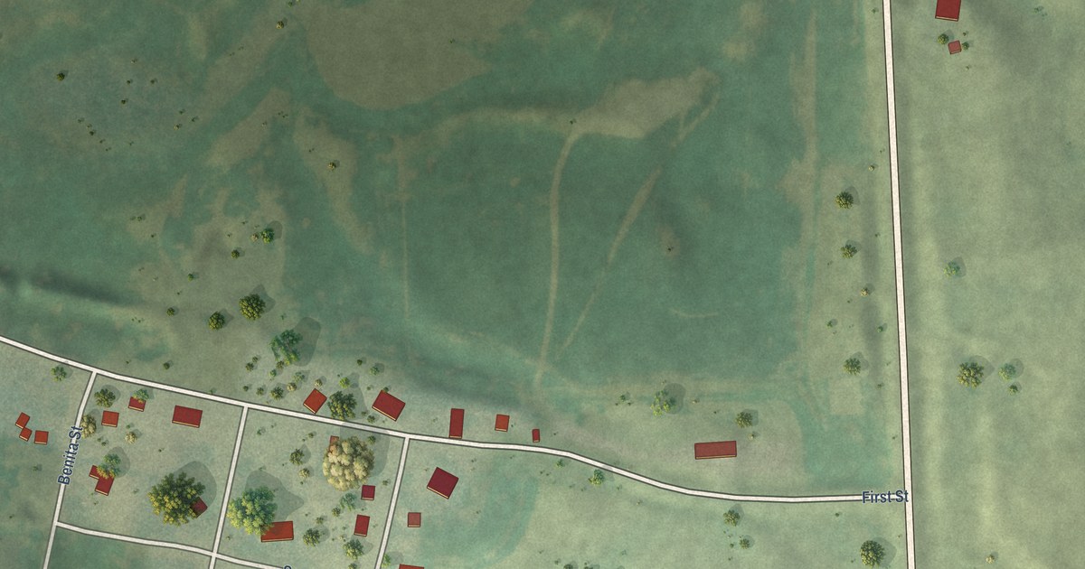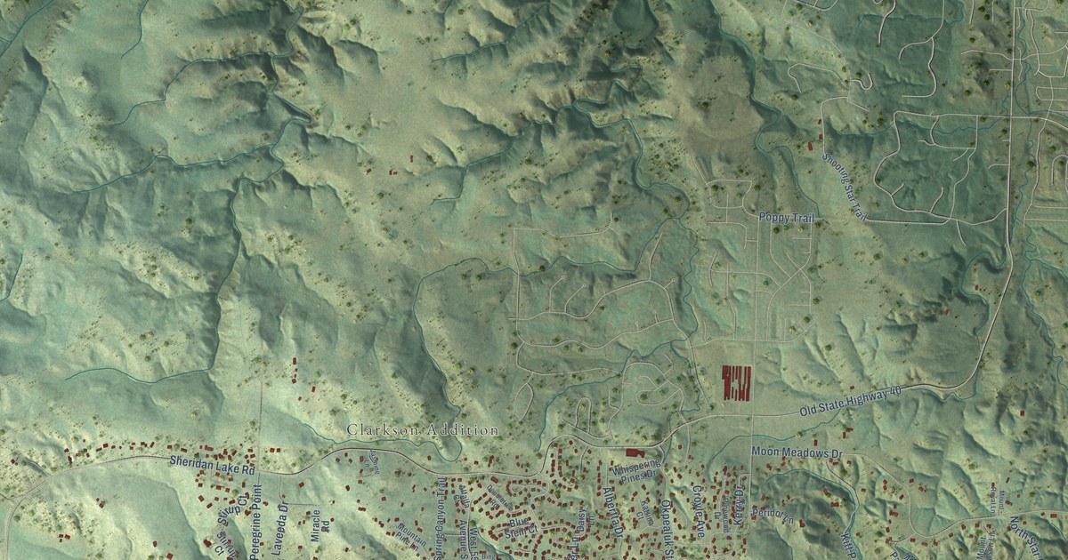
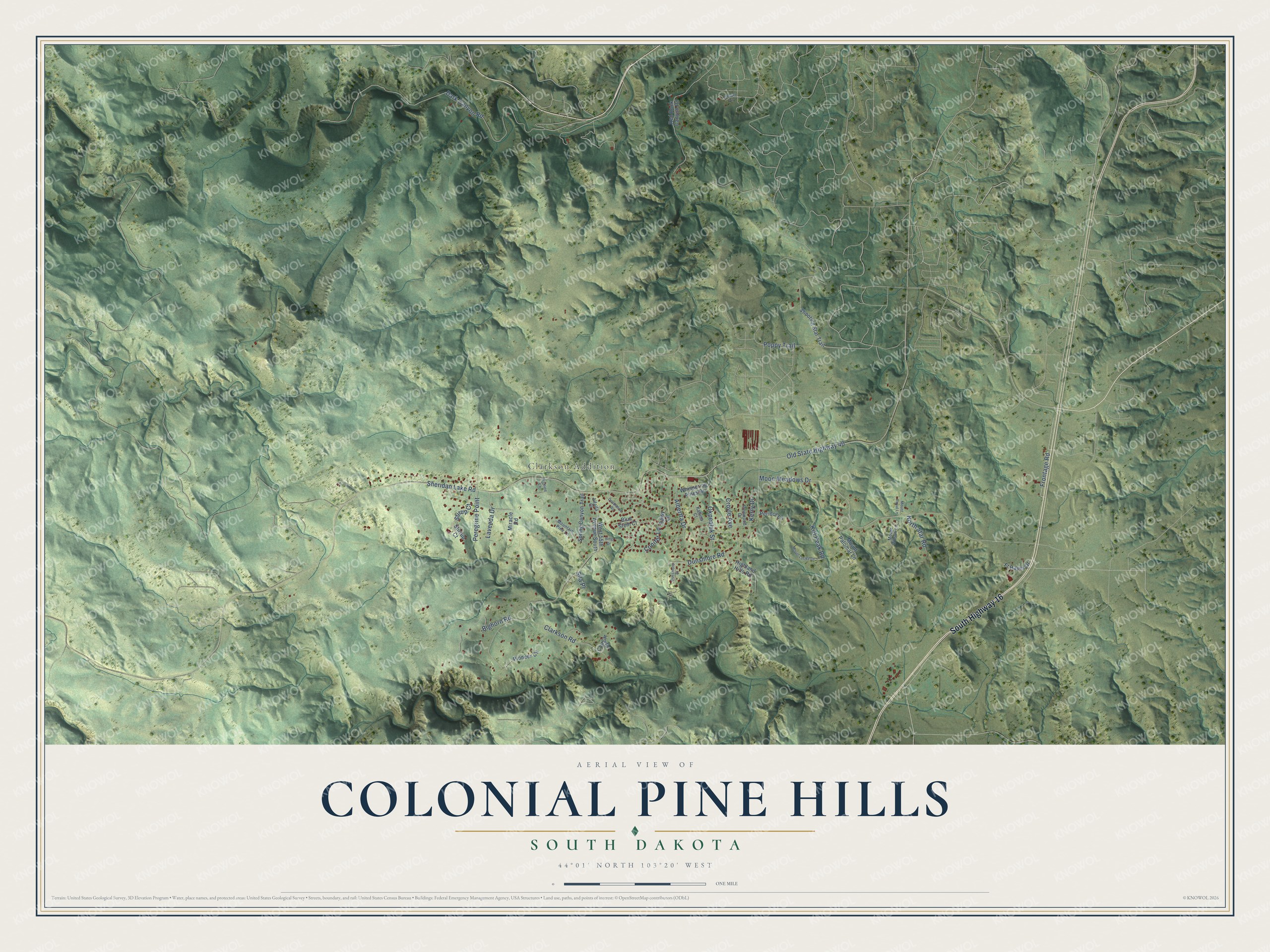
This beautifully detailed map of Colonial Pine Hills, South Dakota was created in 2026 using aerial imagery combined with modern topographical, census, street and landmark data. It's a modern aerial view of Colonial Pine Hills in Pennington County, South Dakota, that combines modern data with a vintage aesthetic. The roads feature printed names, and if you look closely you can find your exact house accurately shown in its correct location.
Explore an aerial view of Colonial Pine Hills, South Dakota
On this map you'll find Clarkson Addition, South Highway 16, Sheridan Lake Road, Old State Highway 40, Moon Meadows Drive, Clarkson Road, Dunsmore Road, Dark Canyon Road, Albertta Drive, Bighorn Road, Stirup Court, Kitt Peak Road, and more. Each red shape is a building, so zoom in on the preview and look for yours.
Here is a piece of Colonial Pine Hills history. When Rapid Creek flooded in 1972, the narrow floodplain in Dark Canyon, a mile upstream of Rapid City, was swept clean. Afterward only some concrete slabs were left to mark where homes had stood. That's from the U.S. Geological Survey.
Colonial Pine Hills is a community in Pennington County. The Census Bureau counted 1,903 people here in 2020.
Take a closer look at the Colonial Pine Hills map
Names on this map
These names are printed on this map.
Places: Clarkson Addition.
Streets and roads: South Highway 16, Sheridan Lake Road, Old State Highway 40, Moon Meadows Drive, Clarkson Road, Dunsmore Road, Dark Canyon Road, Albertta Drive, Bighorn Road, Stirup Court, Kitt Peak Road, Okpealuk Street.
More street names, A to Z
Alfalfa Court, Bing Drive, Blue Stem Court, Chapel Lane, Conifer Lane, Cougar Court, Croyle Avenue, Daisy Lane, Doubletree Road, Dunsmore Court, Frontage Road, Ft Hayes Drive, Highland Hills Road, Jasmine Lane, Katrina Court, Kerry Drive, Laveeda Drive, Miracle Road, Mountain Pine Lane, Mount Locke Lane, Mount Palomar Lane, Mount Royal Lane, Mount Wilson Lane, North Star Road, Peregrine Point, Peridot Lane, Pinewood Drive, Pioneer Circle, Poppy Trail, Red Rock Canyon Road, Shooting Star Trail, Sila Place, Spring Canyon Trail, Stirrup Court, West 55th Avenue South, Whispering Pines Drive.
See it on a wall
The Colonial Pine Hills map as a framed print. Swipe for more.


Created by KNOWOL in 2026. The buildings are small red shapes, the roads carry their printed names, and shaded relief shows the shape of the land. The title panel reads "AERIAL VIEW OF COLONIAL PINE HILLS, SOUTH DAKOTA" with 44°01' NORTH 103°20' WEST.
It suits a den, a classroom or a front hall, and it makes a gift for anyone with Colonial Pine Hills roots. Open the preview and find the block you know. See sizes and frames for the Colonial Pine Hills map.