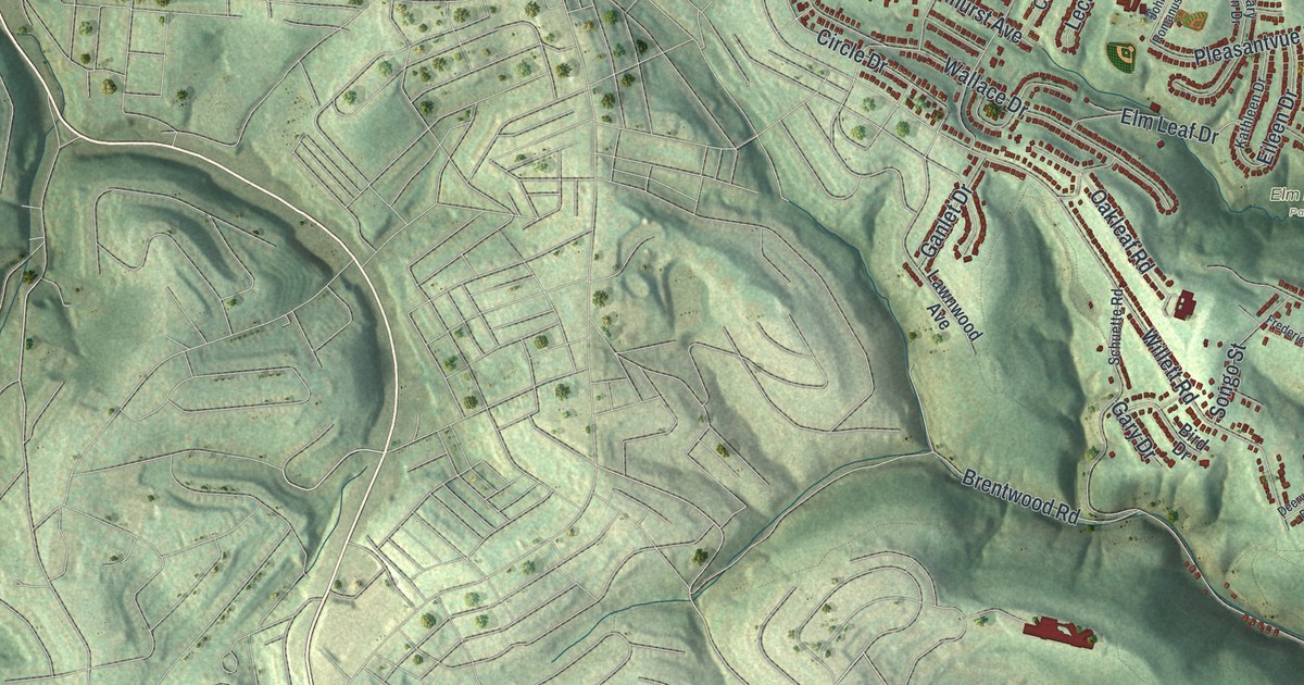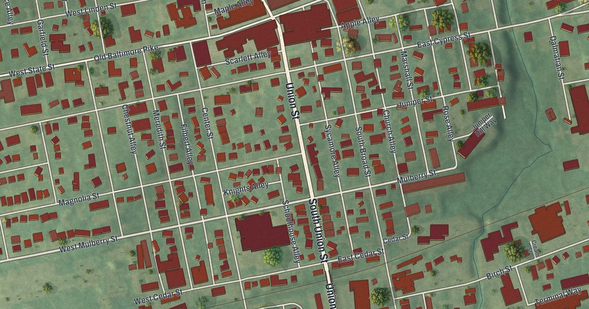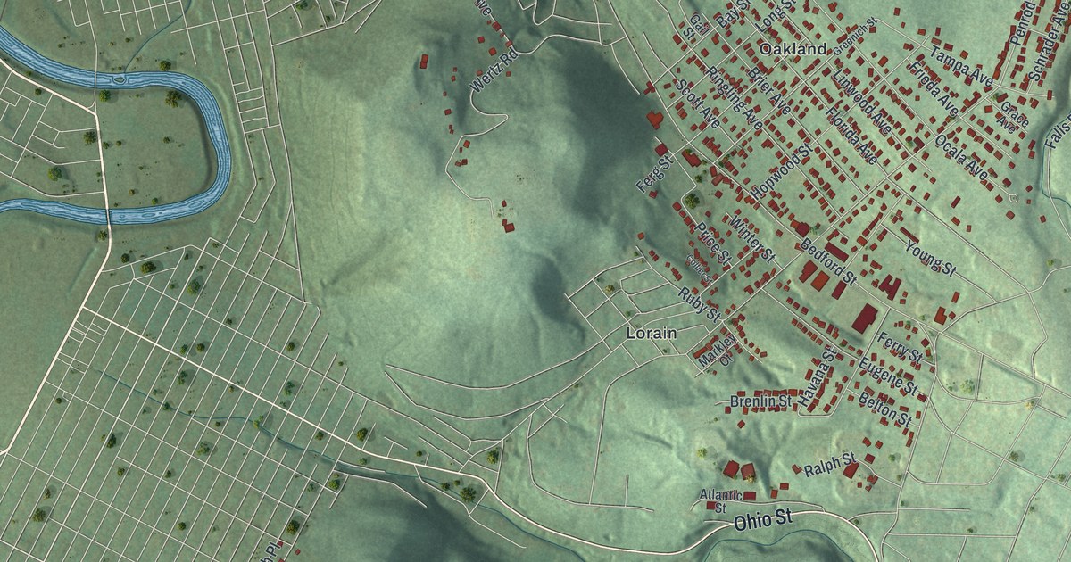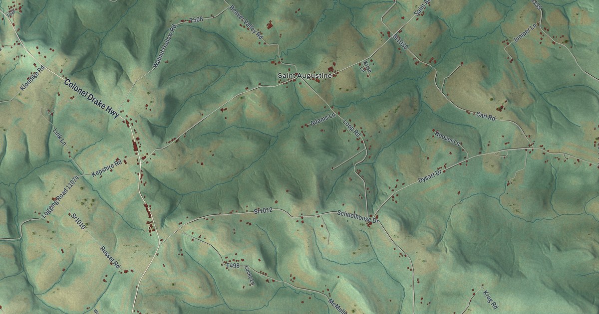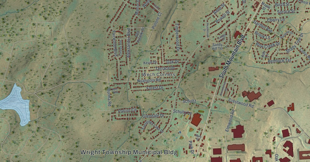
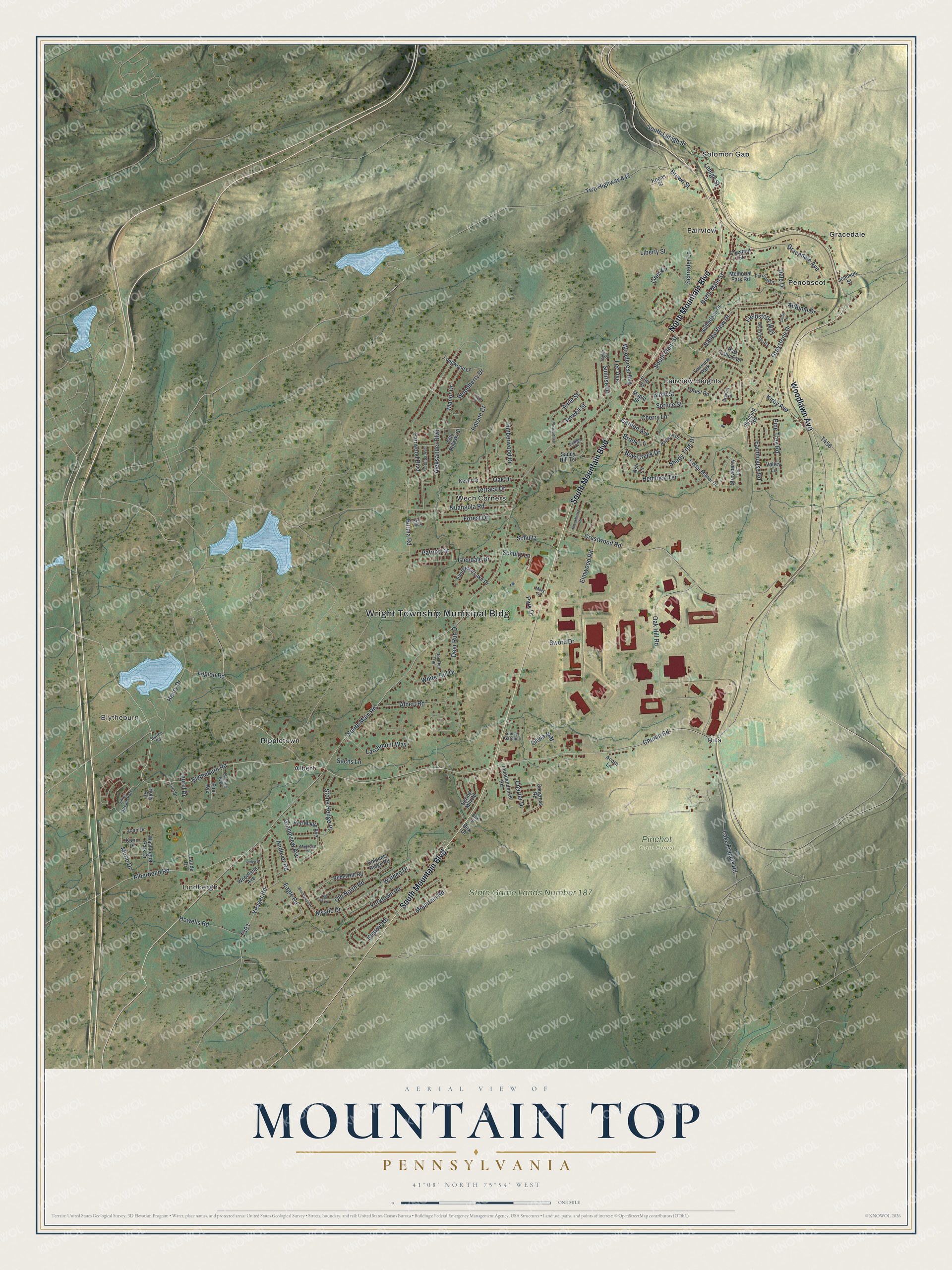
This beautifully detailed map of Mountain Top, Pennsylvania was created in 2026 using aerial imagery combined with modern topographical, census, street and landmark data. It's a modern aerial view of Mountain Top in Luzerne County, Pennsylvania, that combines modern data with a vintage aesthetic. The roads feature printed names, and if you look closely you can find your exact house accurately shown in its correct location.
Explore an aerial view of Mountain Top, Pennsylvania
On this map you'll find Wright Township Municipal Bldg, Lindbergh, Blytheburn, Pinchot State Forest, State Game Lands Number 187, Solomon Gap, Fairview Heights, Wech Corners, Rita, Albert, Penobscot, Fairview, and more. Each red shape is a building, so zoom in on the preview and look for yours.
Mountain Top has a story worth telling. Mountain Top grew up where two coal railroads reached the top of the mountain south of Wilkes-Barre. Loaded trains needed two or three extra engines for the climb, so the stations of Mountain Top, Fairview and Penobscot became one busy railroad stop, with engine houses, shops and the homes of railroad workers. When the county history was written, 961 of Fairview Township's 1,008 people lived in Mountain Top village. That's from the History of Luzerne County.
Mountain Top is a community in Luzerne County. The Census Bureau counted 11,489 people here in 2020.
Take a closer look at the Mountain Top map
Names on this map
These names are printed on this map.
Places: Wright Township Municipal Bldg, Lindbergh, Blytheburn, Pinchot State Forest, State Game Lands Number 187, Solomon Gap, Fairview Heights, Wech Corners, Rita, Albert, Penobscot, Fairview, Gracedale, Rippletown, Fairview Park and Valley Stream Park.
Streets and roads: North Mountain Boulevard, South Mountain Boulevard, Woodlawn Avenue, Kirby Avenue, Twp Highway 433, Mountain Road, Blytheburn Road, Church Road, South Main Street, Oak Drive, South Main Road, Charter Drive.
More street names, A to Z
Acorn Lane, Alberdeen Road, Albert Road, Aleksander Boulevard, Andover Road, Anne Street, Ash Lane, Autumn Drive, Birch Street, Birk Drive, Birk Street, Bluestone Avenue, Bow Creek Drive, Bradley Drive, Brandywyn Drive, Brookhollow Road, Brook Lane, Brown Street, Burma Road, Catalpa Avenue, Cedar Manor Drive, Cherry Lane, Chestnut Street, Circle Drive, Colonels Ridge Road, Congress Road, Crestwood Road, Dale Drive, Deer Run Drive, Doe Run Trail, Eagle Road, Elm Street, Elmwood Road, Evergreen Lake Drive, Fairwood Boulevard, Farmhouse Road, Fern Drive, Fieldstone Way, First Avenue, Forest Drive, Forest Road, Garden Avenue, Gen Pulaski Street, Glendale Drive, Gracedale Avenue, Grandview Avenue, Greystone Drive, Hazlenut Drive, Hemlock Terrace, Henry Drive, Highland Road, Holly Road, Howells Road, Independence Road, Joan Drive, Johnson Street, Karin Drive, Kestrel Road, Kevin Drive, Koons Street, Lake Francis Road, Larchmont Way, Laude Drive, Laurel Drive, Ledge Lane, Lee Avenue, Legion Road, Lehigh Street, Liberty Street, Lines Lane, Longwood Lane, Magnolia Road, Manor Drive, Maple Street, Mary Street, Memorial Park Road, Morio Drive, Mystic Drive, North Main Street, Nuangola Road, Oak Hill Road, Old North Road, Olivia Way, Park Drive, Parkland Drive, Park Lane East, Patriot Circle, Pine Tree Road, Pleasantview Drive, Polone Court, Powell Street, Rebel Hill Road, Red Coat Lane, Red Maple Avenue, Ridge Street, Ryan Way, Sachs Lane, Sandy Hill Terrace, Schrader Lane, Schultz, Schultz Lane, Second Avenue, Shady Tree Drive, South Lehigh Street, Spring Mill Road, Spruce Street, Station Road, Stone Hedge Place, Strawberry Lane, Sunrise Drive, Sunset Gardens, Sutherland Drive, Sword Drive, Taylor Circle, Terrace Drive, Timberwood Drive, Twins Lane, Valley Lane, Valley View Drive, Walden Drive, Washington Park Drive, White Tail Drive, Woodberry Drive, Woodcrest Avenue, Woodland Avenue, Yeager Road, Yorktown Road.
See it on a wall
The Mountain Top map as a framed print. Swipe for more.


Created by KNOWOL in 2026. The buildings are small red shapes, the roads carry their printed names, and shaded relief shows the shape of the land. The title panel reads "AERIAL VIEW OF MOUNTAIN TOP, PENNSYLVANIA" with 41°08' NORTH 75°54' WEST.
It looks right in a kitchen, an office or a den, and it's a gift for anyone who grew up in Mountain Top or moved away. Open the preview and find your street. See sizes and frames for the Mountain Top map.