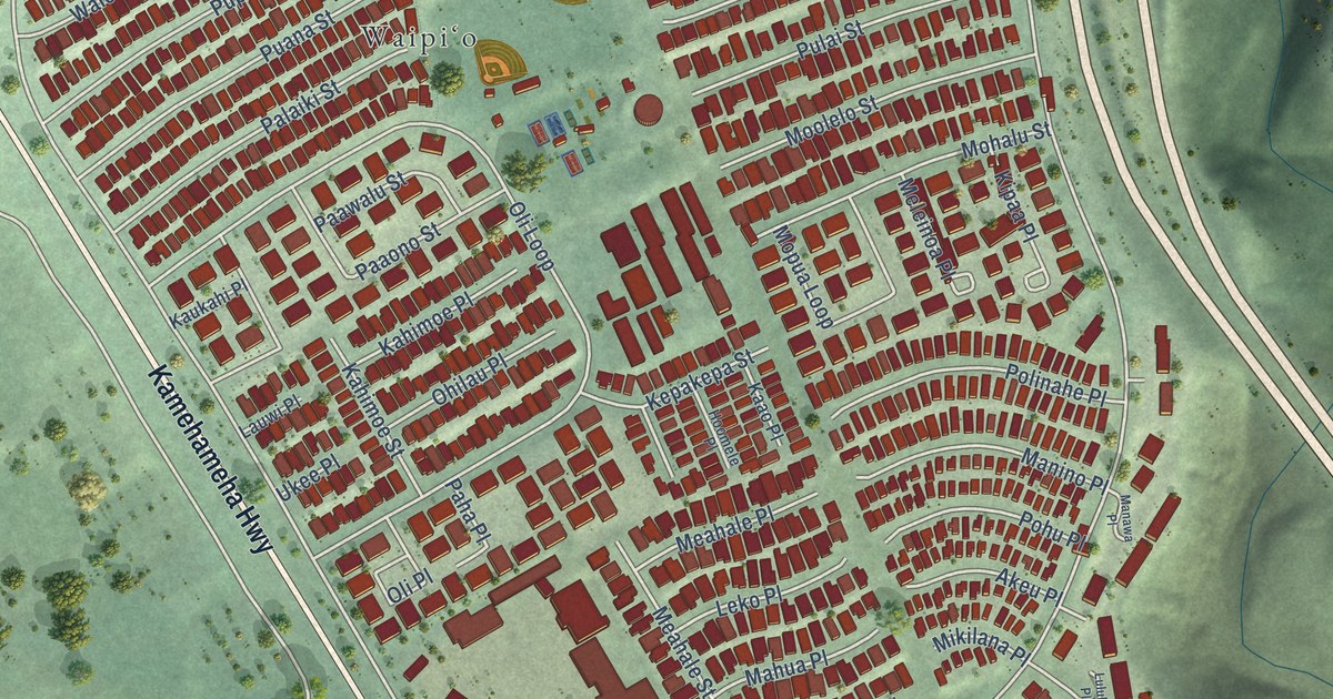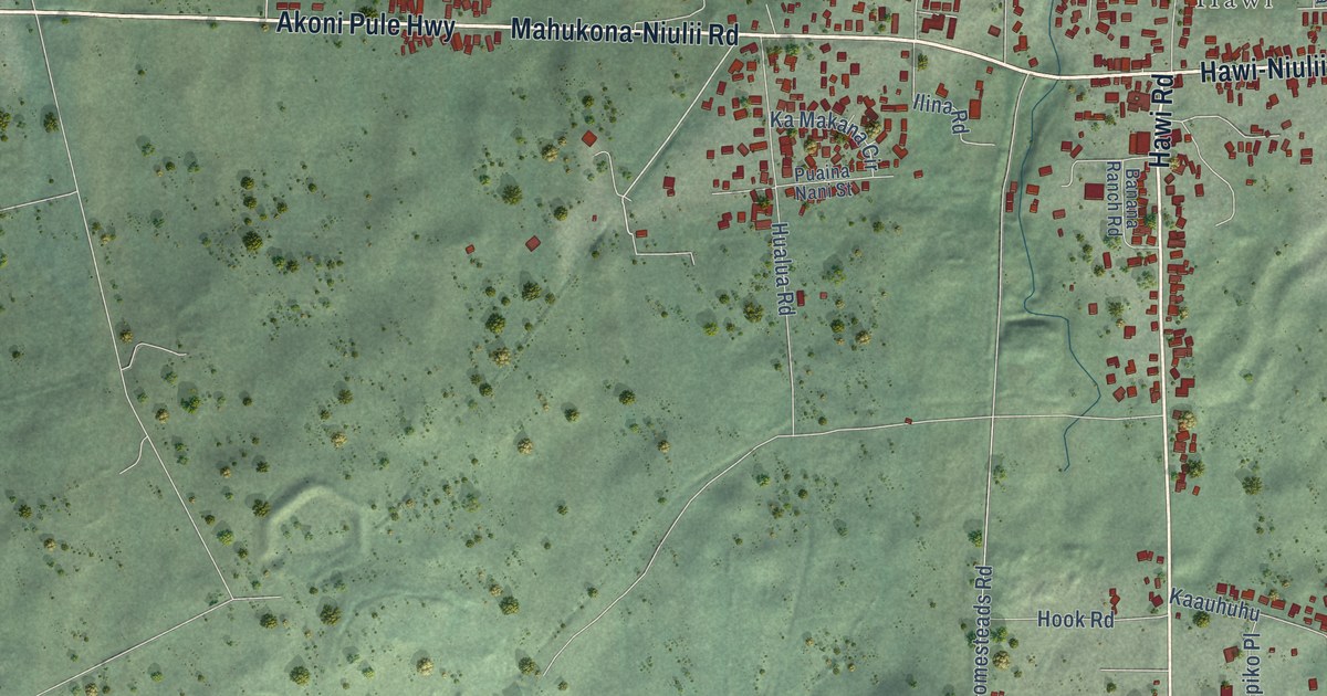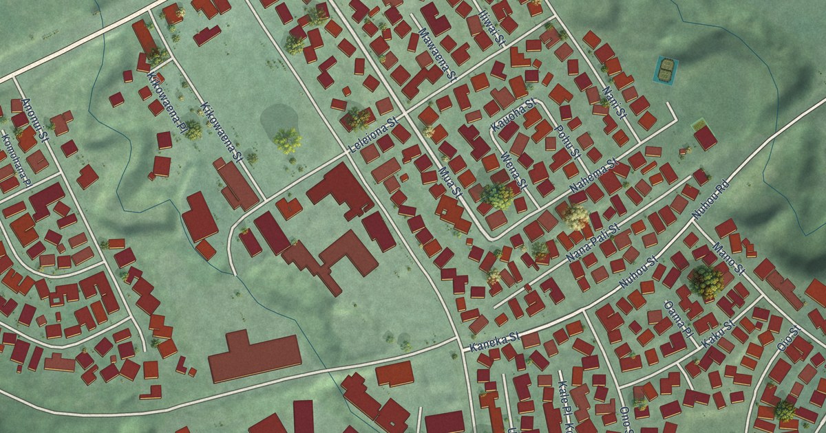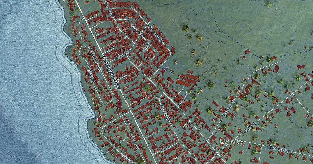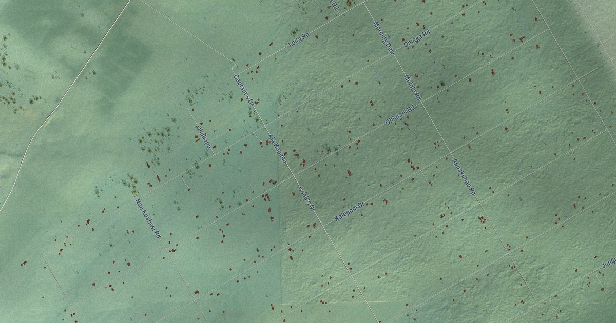
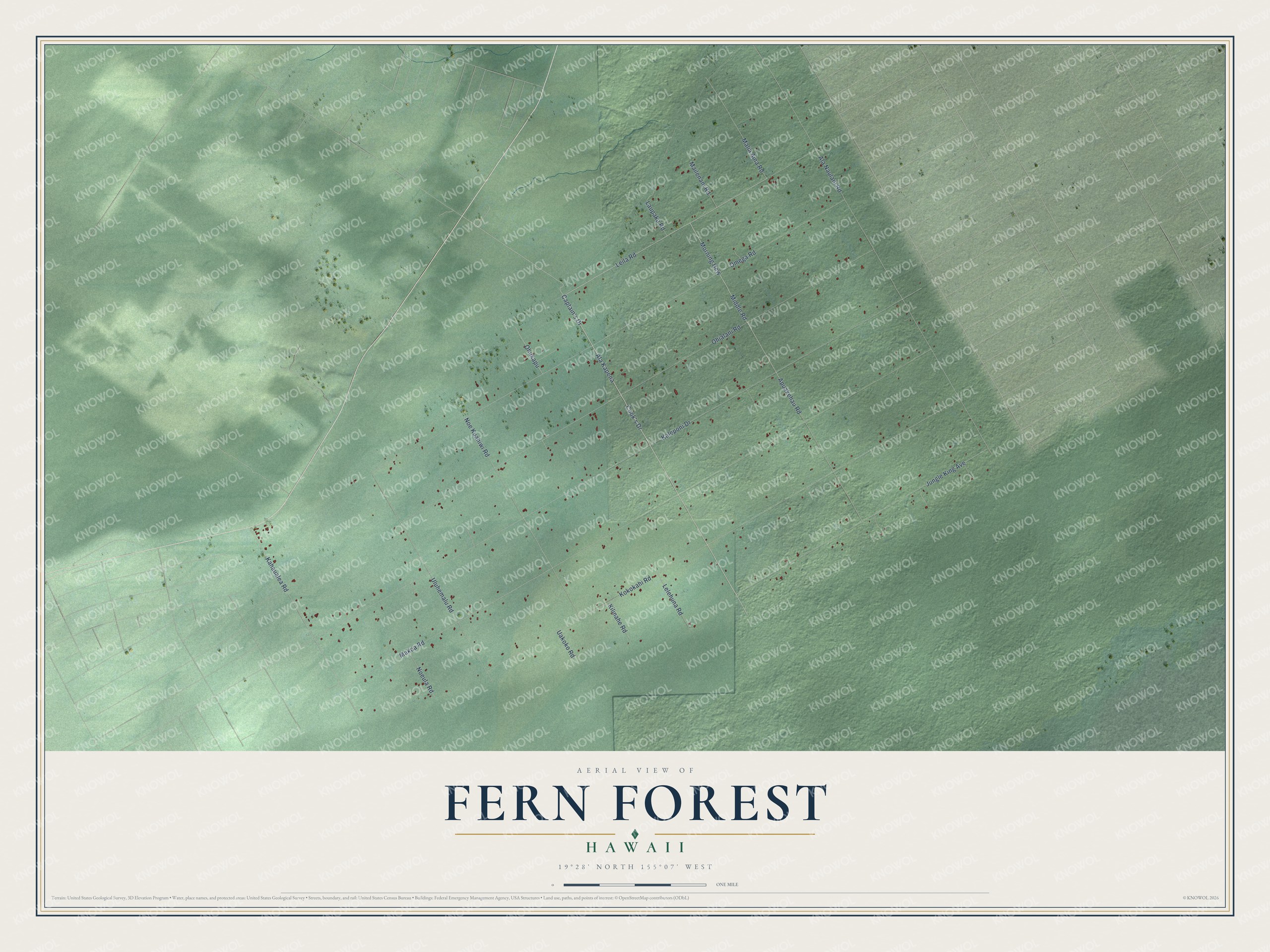
This beautifully detailed map of Fern Forest, Hawaii was created in 2026 using aerial imagery combined with modern topographical, census, street and landmark data. It's a modern aerial view of Fern Forest in Hawaii County, Hawaii, that combines modern data with a vintage aesthetic. The roads feature printed names, and if you look closely you can find your exact house accurately shown in its correct location.
Explore an aerial view of Fern Forest, Hawaii
On this map you'll find Leila Road, Cook's Drive, Ala Kapena, Middle Road, Kahaualea Road, Apuakehau Road, Kaleponi Drive, Makoa Road, Ohialani Road, Omega Road, Kokokahi Road, Ala Naulani Road, and more. Each red shape is a building, so zoom in on the preview and look for yours.
Fern Forest has a story worth telling. Fern Forest sits on lava from the Ailaau eruption, which poured from a vent just east of Kilauea Iki for decades in the 1400s and flowed all the way to the Puna coast. Scientists think it may be the eruption remembered in the Pele and Hiiaka chant, in which Pele breaks her promise and sets fire to Hiiaka's treasured ohia lehua forest in Puna. That's from the U.S. Geological Survey.
Fern Forest is a community in Hawaii County. The Census Bureau counted 1,150 people here in 2020.
Take a closer look at the Fern Forest map
Names on this map
These names are printed on this map.
Streets and roads: Leila Road, Cook's Drive, Ala Kapena, Middle Road, Kahaualea Road, Apuakehau Road, Kaleponi Drive, Makoa Road, Ohialani Road, Omega Road, Kokokahi Road, Ala Naulani Road.
More street names, A to Z
Captain's Drive, Jungle King Avenue, Kilinahe Road, Laupaka Road, Lelehuna Road, Mailenani Road, Malia Aina Road, Morning Dew, Noe Kuahiwi Road, Noeula Road, Ohukapu, Uakoko Road, Uluhemalu Road.
See it on a wall
The Fern Forest map as a framed print. Swipe for more.


Created by KNOWOL in 2026. The buildings are small red shapes, the roads carry their printed names, and shaded relief shows the shape of the land. The title panel reads "AERIAL VIEW OF FERN FOREST, HAWAII" with 19°28' NORTH 155°07' WEST.
It looks right in a kitchen, an office or a den, and it's a gift for anyone who grew up in Fern Forest or moved away. Open the preview and find your street. See sizes and frames for the Fern Forest map.