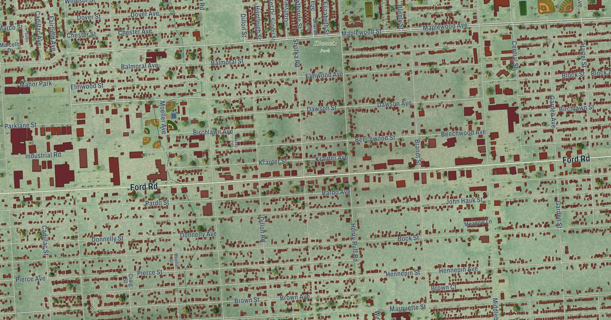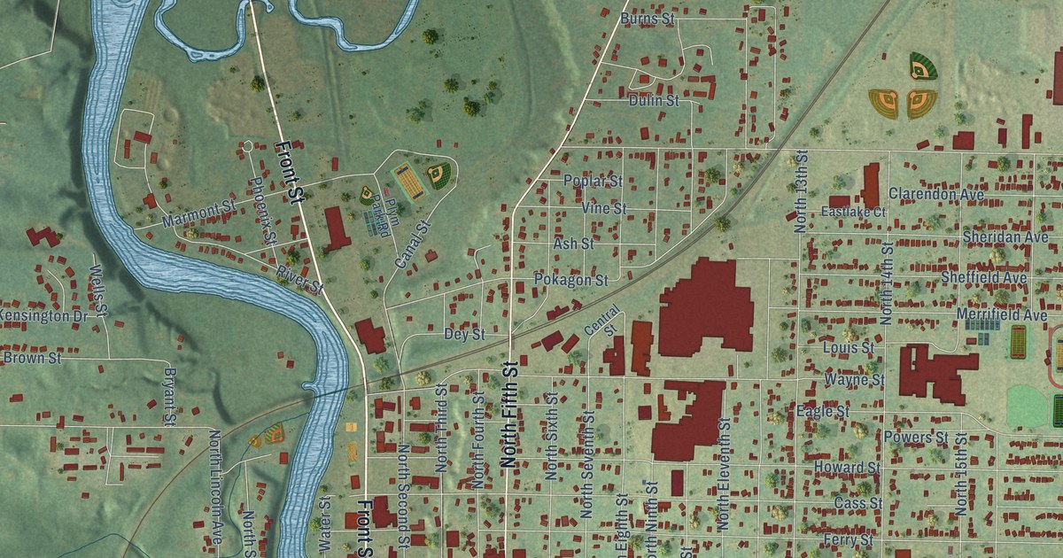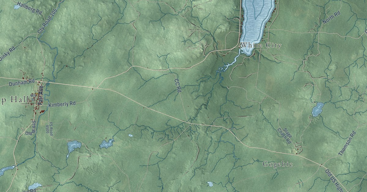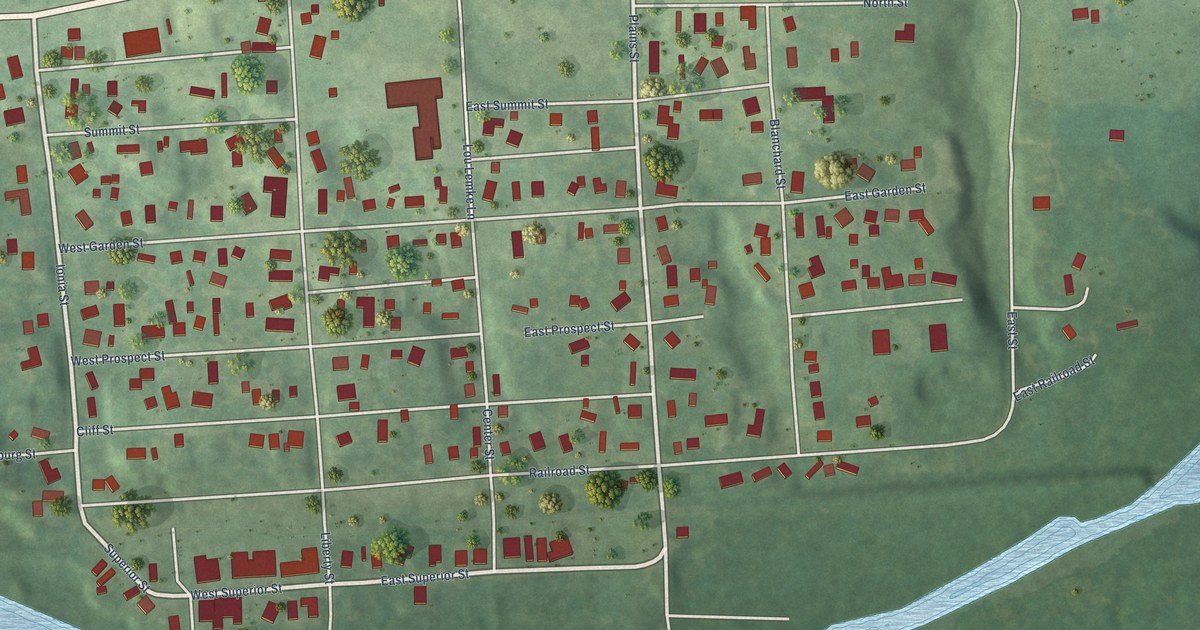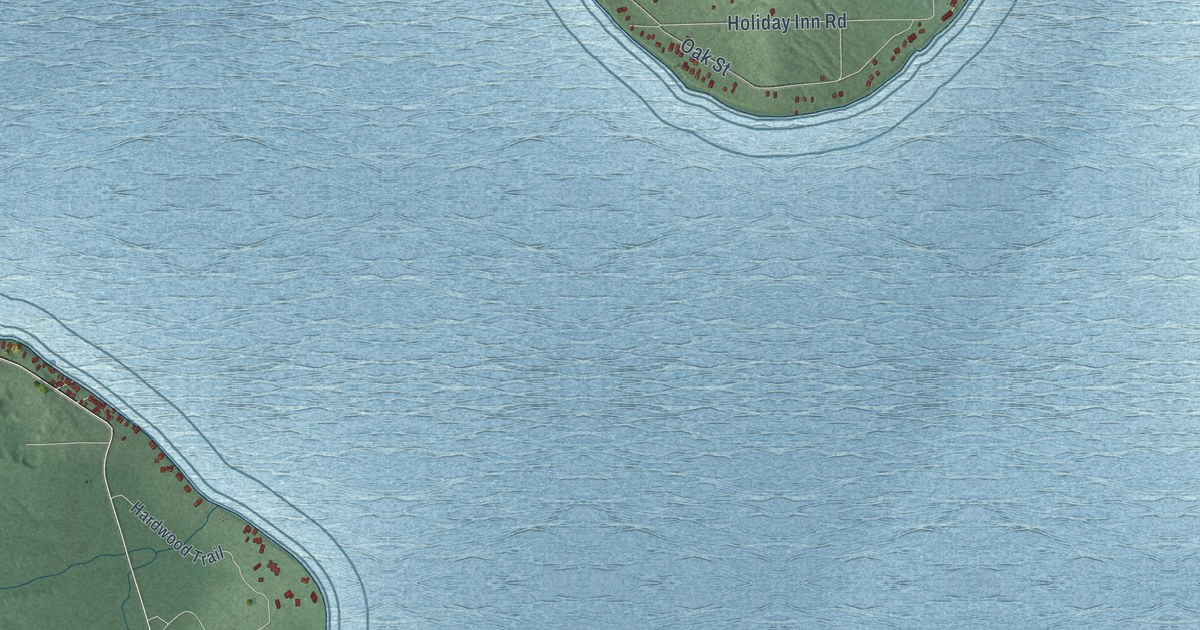
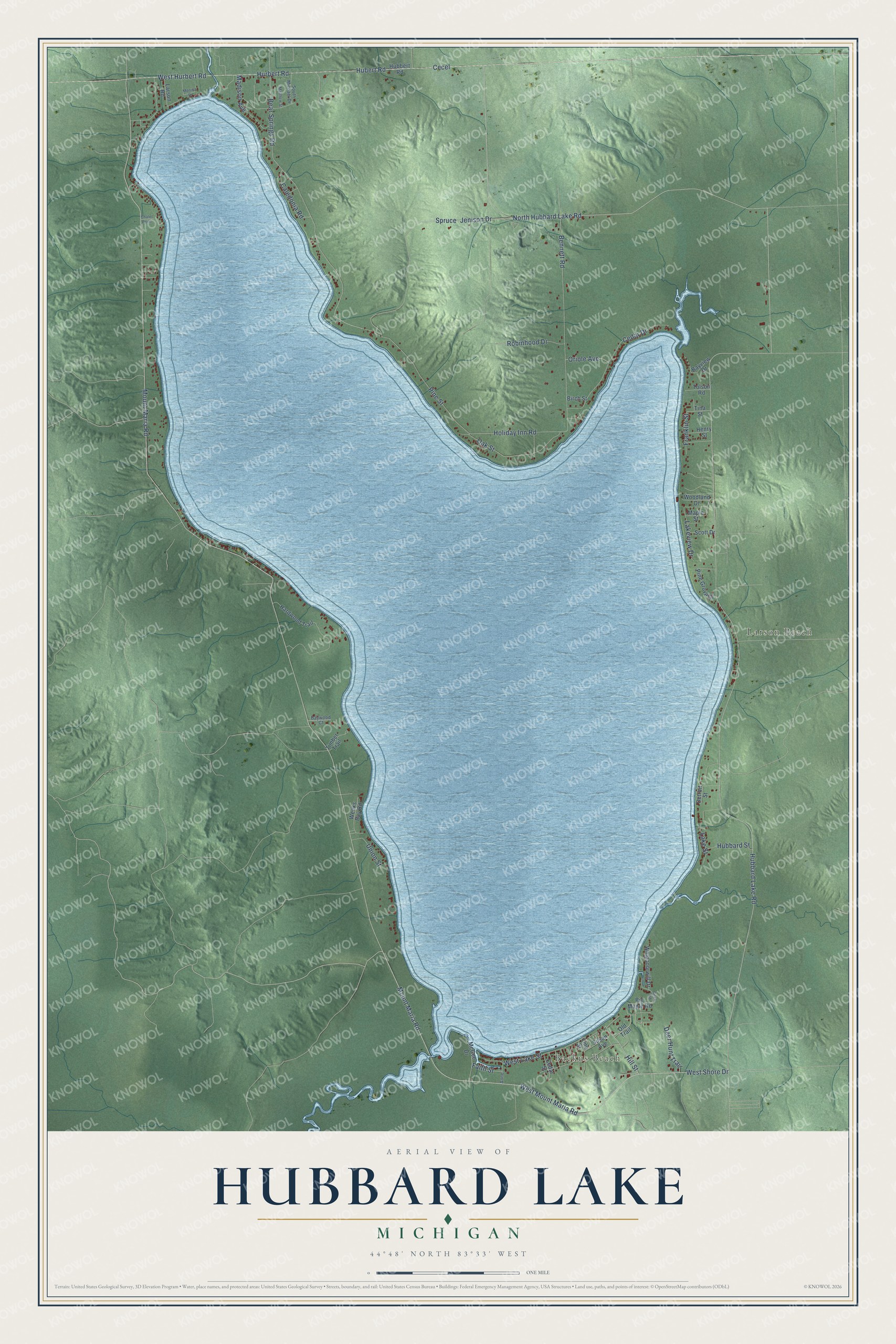
This beautifully detailed map of Hubbard Lake, Michigan was created in 2026 using aerial imagery combined with modern topographical, census, street and landmark data. It's a modern aerial view of Hubbard Lake in Alcona County, Michigan, that combines modern data with a vintage aesthetic. The roads feature printed names, and if you look closely you can find your exact house accurately shown in its correct location.
Explore an aerial view of Hubbard Lake, Michigan
On this map you'll find Backus Beach, Larson Beach, Mount Maria Road, West Mount Maria Road, North Hubbard Lake Road, Hubbard Lake Road, Hill Street, Faith Street, West Shore Drive, Pine Street, Holiday Inn Road, Lake Street, and more. Each red shape is a building, so zoom in on the preview and look for yours.
Here is a piece of Hubbard Lake history. In the busy lumbering days, Hubbard Lake was dammed to raise its level so logs could float from its inlets to the outlet, and later it served as a reservoir for the Alpena Power Company. By 1942 homes and summer cottages stood around most of the shore, with resorts, hotels and cottages for rent at about forty places. That's from the Michigan Department of Conservation.
Hubbard Lake is a community in Alcona County. The Census Bureau counted 857 people here in 2020.
Take a closer look at the Hubbard Lake map
Names on this map
These names are printed on this map.
Places: Backus Beach and Larson Beach.
Streets and roads: Mount Maria Road, West Mount Maria Road, North Hubbard Lake Road, Hubbard Lake Road, Hill Street, Faith Street, West Shore Drive, Pine Street, Holiday Inn Road, Lake Street, Oak Street, West Lake Street.
More street names, A to Z
Anne, Bayview Drive, Baywood Court, Bear Springs Road, Bennett Road, Big Maple Road, Birch Road, Birch Street, Caledonia Road, Cecel, Cedar Drive, Cedar Street, Chalet Point, Deer Hunt Trail, Detroit Street, Franklin Street, Hardwood Trail, Henry Street, Hubbard Street, Hubbert Road, Hubert Road, Hurbert Road, Jenison Drive, Lakeview Drive, Larson Road, Line Street, Madison Avenue, Maple Street, Matthew Street, McGee Drive, Monica Drive, Old Trail, Oriole Avenue, Pine Grove Drive, Robinhood Drive, Scott Drive, South Michael Drive, Spruce, Susan Avenue, Timber Trail, Tina Street, Tolson Road, Union Street, Weeks Bay Road, West Hurbert Road, Whippoorwill Drive, Woodland Drive.
See it on a wall
The Hubbard Lake map as a framed print. Swipe for more.


Created by KNOWOL in 2026. The buildings are small red shapes, the roads carry their printed names, and shaded relief shows the shape of the land. The title panel reads "AERIAL VIEW OF HUBBARD LAKE, MICHIGAN" with 44°48' NORTH 83°33' WEST.
It suits a den, a classroom or a front hall, and it makes a gift for anyone with Hubbard Lake roots. Open the preview and find the block you know. See sizes and frames for the Hubbard Lake map.