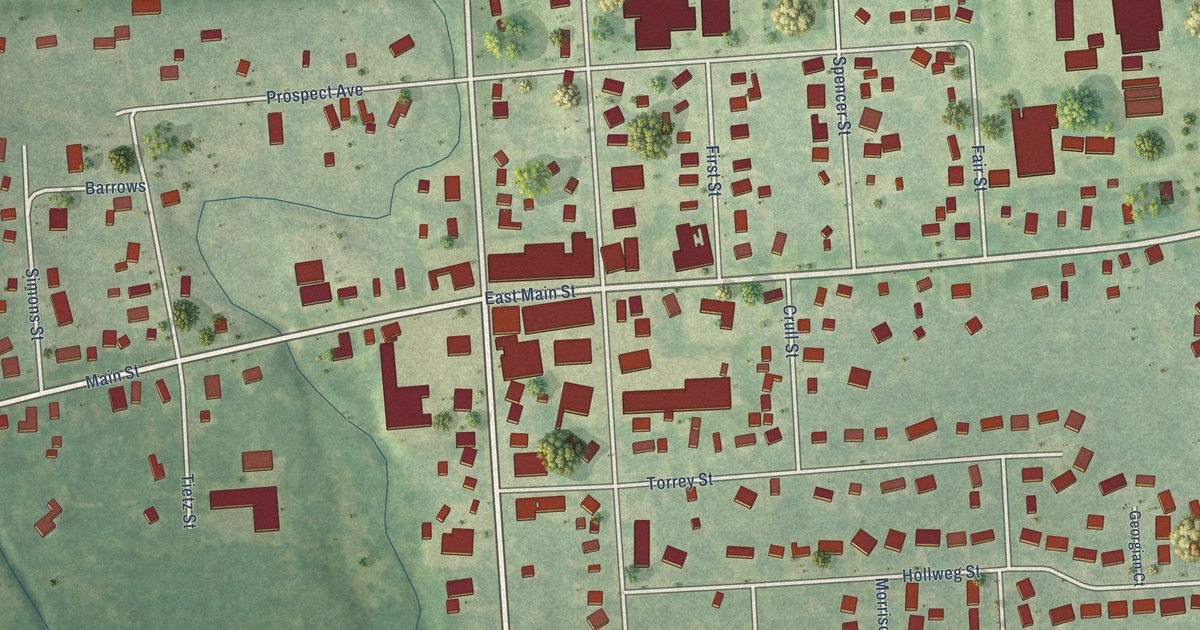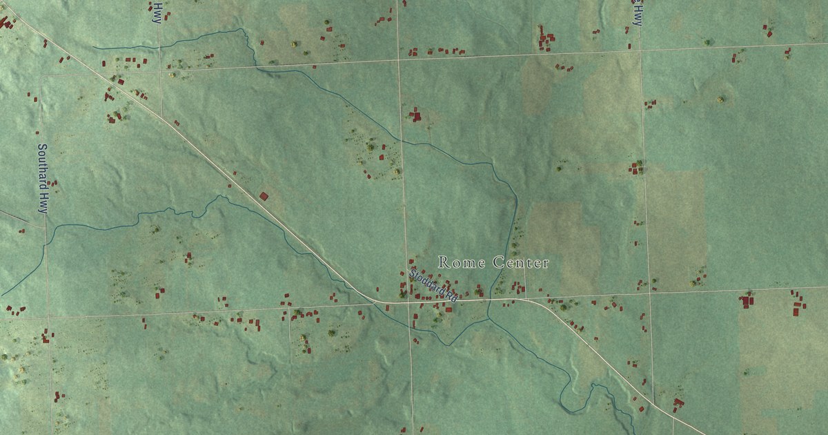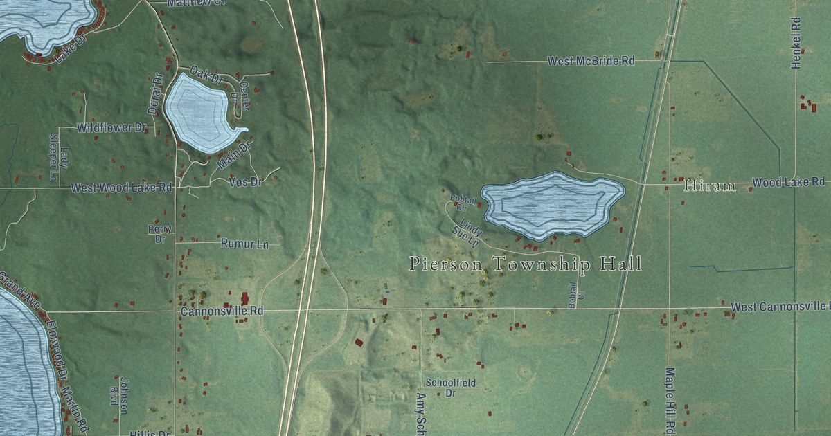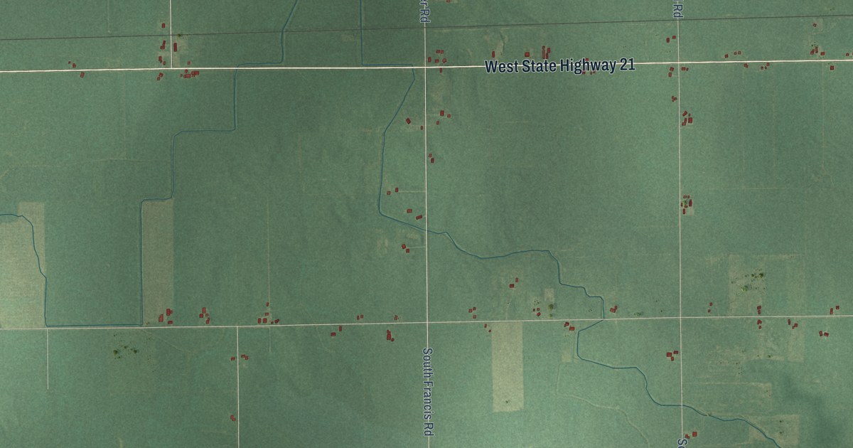
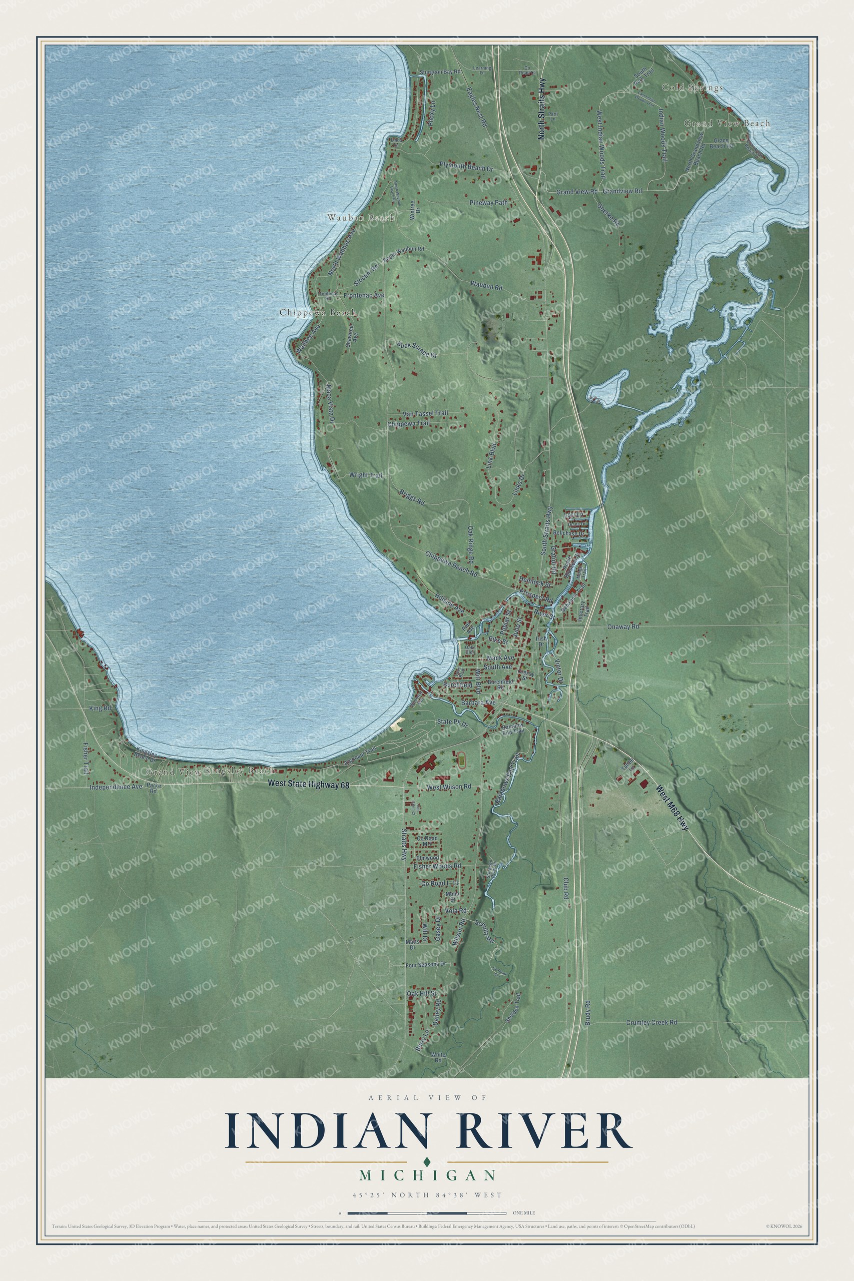
This beautifully detailed map of Indian River, Michigan was created in 2026 using aerial imagery combined with modern topographical, census, street and landmark data. It's a modern aerial view of Indian River in Cheboygan County, Michigan, that combines modern data with a vintage aesthetic. The roads feature printed names, and if you look closely you can find your exact house accurately shown in its correct location.
Explore an aerial view of Indian River, Michigan
On this map you'll find Cold Springs, Grand View Beach, Grand View, Wauban Beach, Kingsley Beach, Chippewa Beach, West M68 Highway, West State Highway 68, North Straits Highway, Straits Highway, Waubun Road, Chippewa Beach Road, and more. Each red shape is a building, so zoom in on the preview and look for yours.
Indian River has a story worth telling. When the Indian River parish began in 1946, the town had only twelve Catholic families, and Mass was held at the Township Hall. In 1948 the state granted the parish undeveloped Burt Lake State Park land for one dollar and a box of candy for the secretary, and there the parish set out to build the largest crucifix in the world. Michigan sculptor Marshall Fredericks spent four years making the seven ton bronze figure, cast in Norway, and on August 9, 1959 it was raised onto the redwood cross on Calvary Hill. That's from the Cross in the Woods shrine.
Indian River is a community in Cheboygan County. The Census Bureau counted 1,950 people here in 2020.
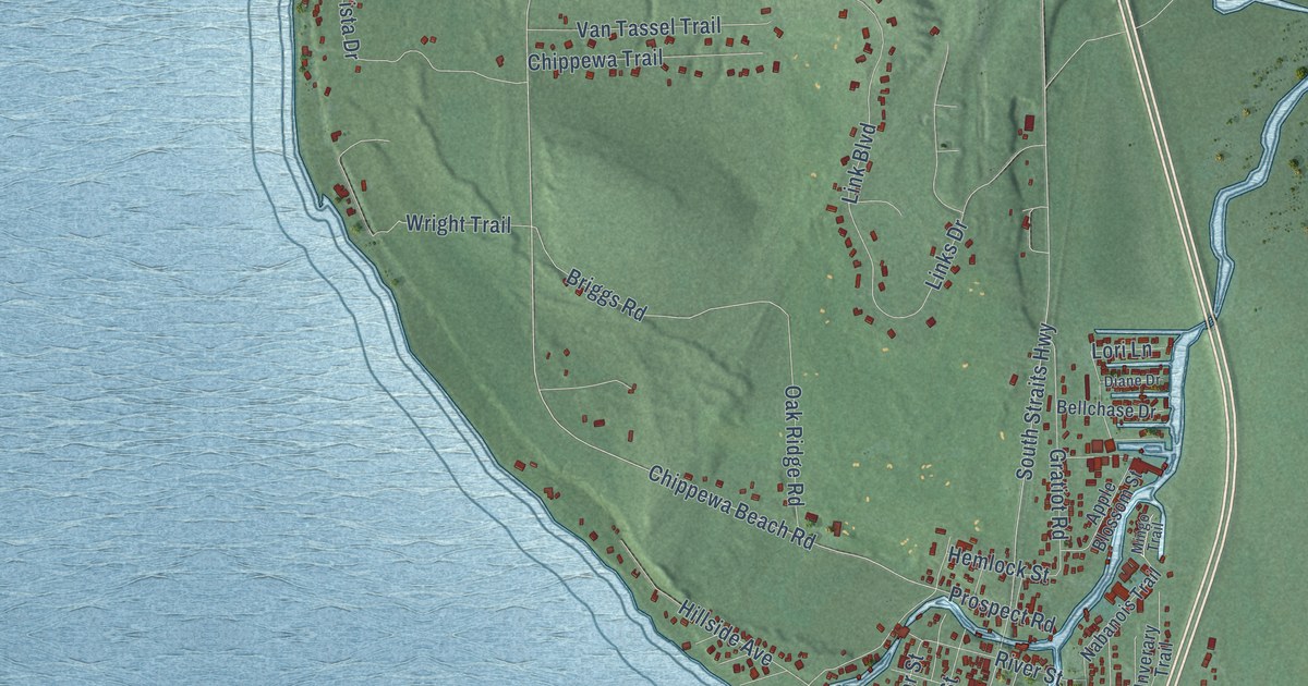
Take a closer look at the Indian River map
Names on this map
These names are printed on this map.
Places: Cold Springs, Grand View Beach, Grand View, Wauban Beach, Kingsley Beach and Chippewa Beach.
Streets and roads: West M68 Highway, West State Highway 68, North Straits Highway, Straits Highway, Waubun Road, Chippewa Beach Road, West Indian Woods Trail, Indian Woods Trail, South Straits Highway, Briggs Road, Club Road, Brudy Road.
More street names, A to Z
Apple Blossom Street, Argonaut Trail, Barbara Avenue, Bellchase Drive, Berry Lane, Buck Scrape Drive, Burchfield, Burchfield Road, Casey Drive, Chippewa Trail, County Road L-11, County Road L4, County Road M-7, County Road S-3, Cressy Street, Crumley Creek Road, Dailey Road, Diane Drive, Eagles Nest Road, East Indian Woods Trail, Elmwood, Fisher Trail, Fisher Woods Road, Four Seasons Drive, Frontenac Avenue, Frontenac Road, Goerke Road, Grace Beach Road, Grandview Beach Drive, Grandview Road, Grand View Road, Gratiot Road, Hemlock Street, Hillside Avenue, Independence Avenue, Inverary Trail, Irish Drive, Juno Street, King Road, Kingsley Beach Drive, Lake Boulevard, Learning Lane, Linda Lane, Link Boulevard, Links Drive, Lori Lane, Maca Vista Drive, Mack Avenue, Matts Drive, Mingo Trail, Mona Street, Nabanois Trail, North Grandview Beach Road, North Wahbee Avenue, North Waubun Beach Road, Oak Hill Street, Oak Ridge Road, Oaks Glen, Onaway Road, Parke Road, Patti Lane, Phoxy Lane, Pier Avenue, Pike Street, Pineway Path, Plymouth Beach Drive, Poplar Street, Prospect Road, Rainbow End Trail, Rainbows End Trail, River Street, Schultz Road, Shawnee Avenue, Sheldon Trail, Slocum Road, South Avenue, South Park Trail, South Waubun Road, State Pk Drive, Sturgeon Bay Road, Sturgeon River Drive, Tahoe Lane, Van Etten Court, Van Tassel Trail, Victor Drive, Vola Road, Wahbee Avenue, Wenonah Avenue, West Wilson Road, White Road, Will Drive, Wilson Road, Wintree Drive, Witt Boulevard, Wright Trail.
See it on a wall
The Indian River map as a framed print. Swipe for more.


Created by KNOWOL in 2026. The buildings are small red shapes, the roads carry their printed names, and shaded relief shows the shape of the land. The title panel reads "AERIAL VIEW OF INDIAN RIVER, MICHIGAN" with 45°25' NORTH 84°38' WEST.
It looks right in a kitchen, an office or a den, and it's a gift for anyone who grew up in Indian River or moved away. Open the preview and find your street. See sizes and frames for the Indian River map.