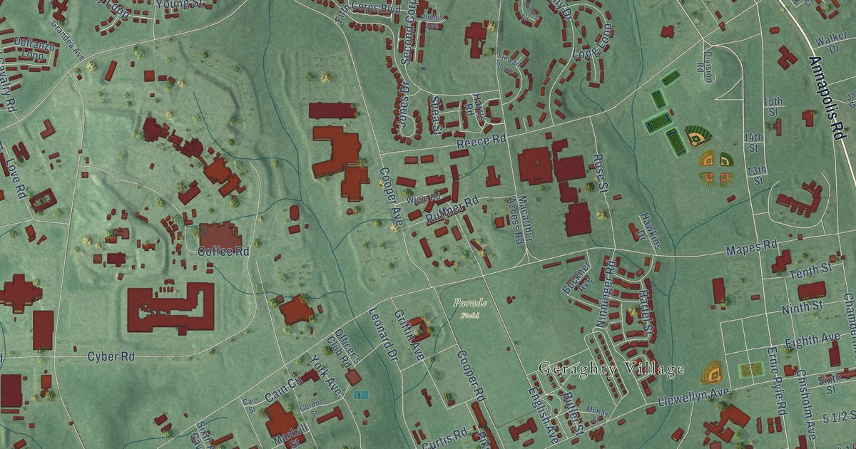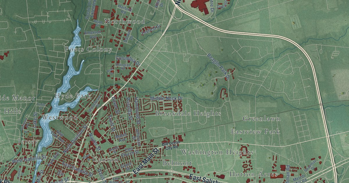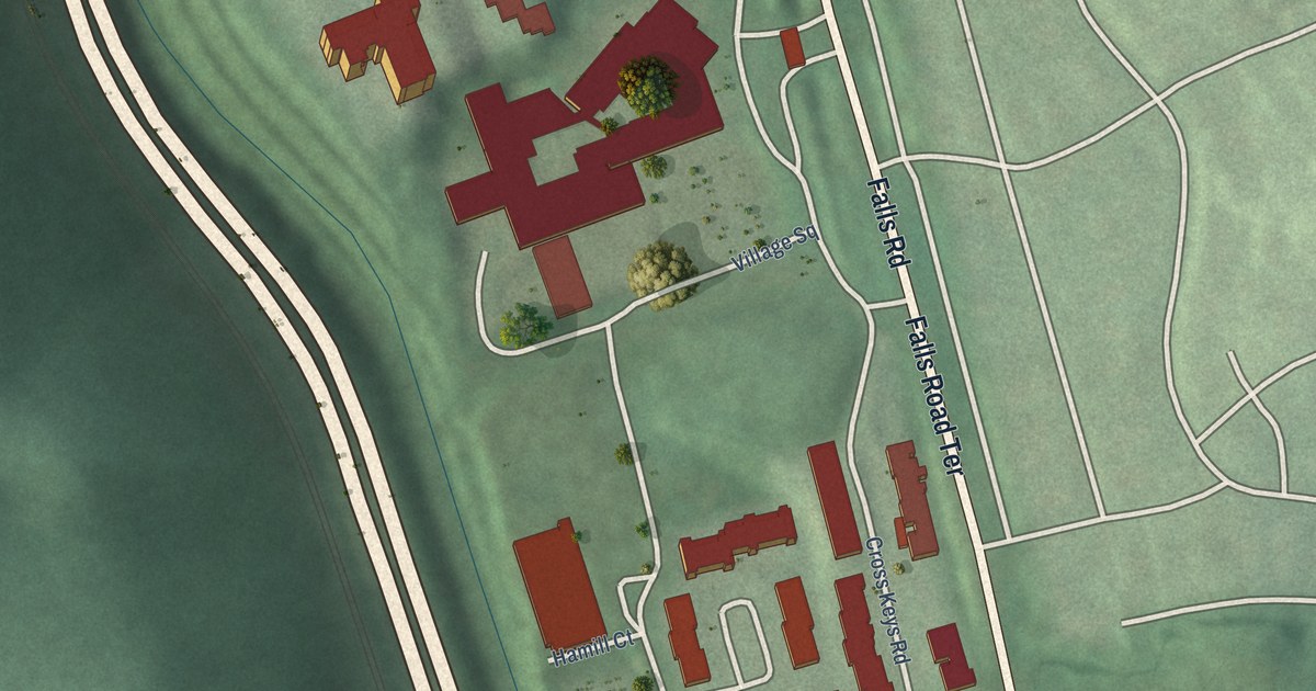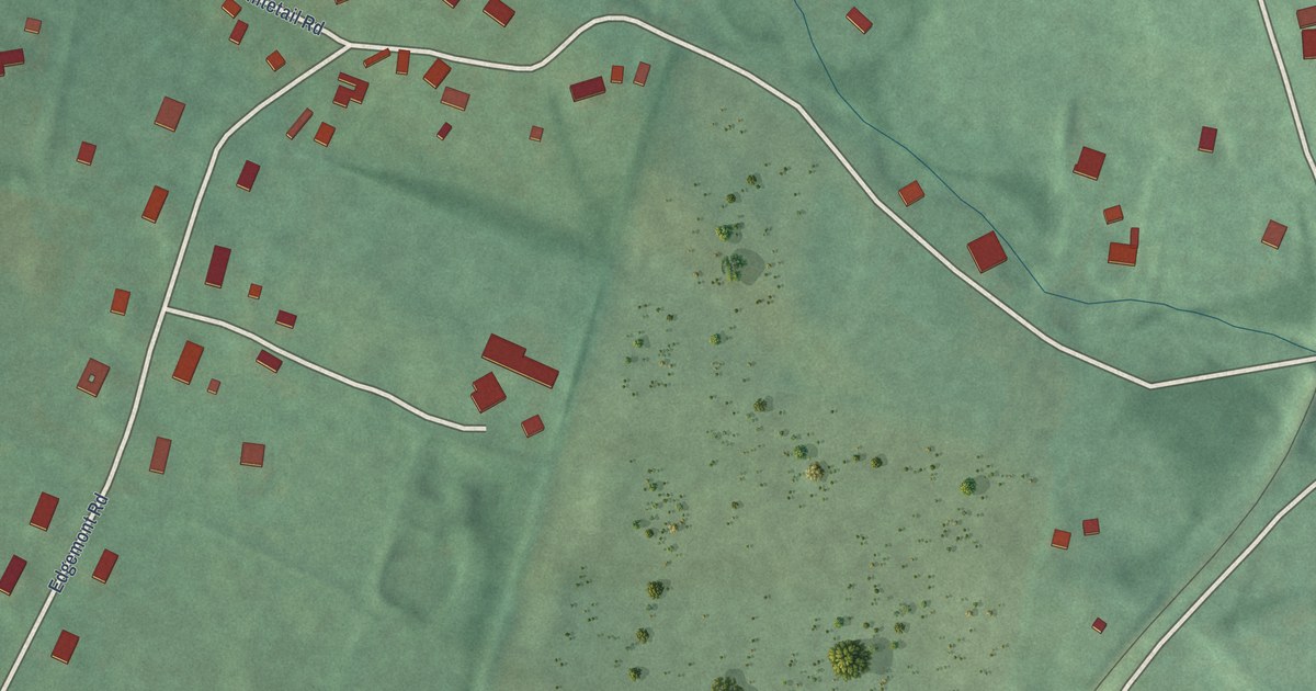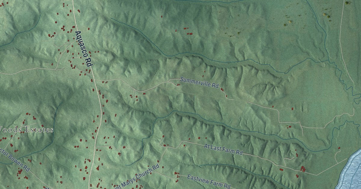
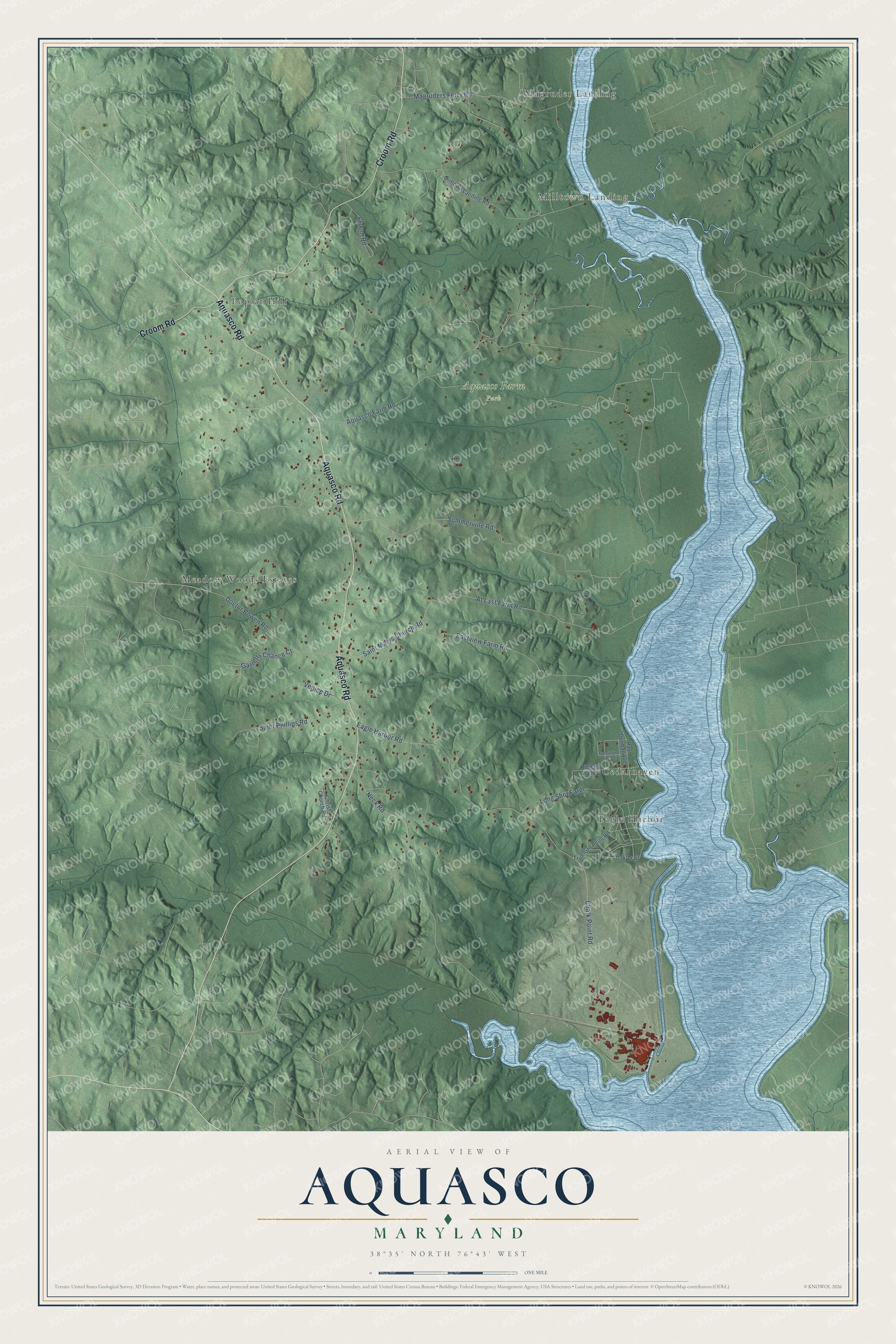
This beautifully detailed map of Aquasco, Maryland was created in 2026 using aerial imagery combined with modern topographical, census, street and landmark data. It's a modern aerial view of Aquasco in Prince George's County, Maryland, that combines modern data with a vintage aesthetic. The roads feature printed names, and if you look closely you can find your exact house accurately shown in its correct location.
Explore an aerial view of Aquasco, Maryland
On this map you'll find Milltown Landing, Aquasco Farm Park, Eagle Harbor, Meadow Woods Estates, Poplar Hill, Magruder Landing, Cedarhaven, Aquasco Road, Croom Road, Chalk Point Road, Neck Road, Garretts Chance Court, and more. Each red shape is a building, so zoom in on the preview and look for yours.
Aquasco has a story worth telling. Aquasco, known in the 1800s as Woodville, grew up as a tobacco farming community between Swanson's Creek and the Patuxent River. By 1747 the area grew enough tobacco that a tobacco inspection warehouse was proposed at Trueman's Point, and river landings like it shipped the crop north to Baltimore. By 1861 the village had its own post office and a public school, School No. 9, on Aquasco Road. That's from the Maryland Historical Trust.
Aquasco is a community in Prince George's County. The Census Bureau counted 913 people here in 2020.
Take a closer look at the Aquasco map
Names on this map
These names are printed on this map.
Places: Milltown Landing, Aquasco Farm Park, Eagle Harbor, Meadow Woods Estates, Poplar Hill, Magruder Landing and Cedarhaven.
Streets and roads: Aquasco Road, Croom Road, Chalk Point Road, Neck Road, Garretts Chance Court, Summerville Road, Aquasco Farm Road, Eagle Harbor Road, Eastview Farm Road, At Last Farm Road, Magruders Ferry Road, Doctor Bowen Road.
More street names, A to Z
Christ Church Road, Coleridge Taylor Street, Long Shot Farm, Milltown Landing Road, Oak Trail, Paul Dunbar Avenue, Richard Allen Street, Saint Marys Church Road, Saint Phillips Road, Trueman Point Road, Venice Drive.
See it on a wall
The Aquasco map as a framed print. Swipe for more.


Created by KNOWOL in 2026. The buildings are small red shapes, the roads carry their printed names, and shaded relief shows the shape of the land. The title panel reads "AERIAL VIEW OF AQUASCO, MARYLAND" with 38°35' NORTH 76°43' WEST.
It looks right in a kitchen, an office or a den, and it's a gift for anyone who grew up in Aquasco or moved away. Open the preview and find your street. See sizes and frames for the Aquasco map.