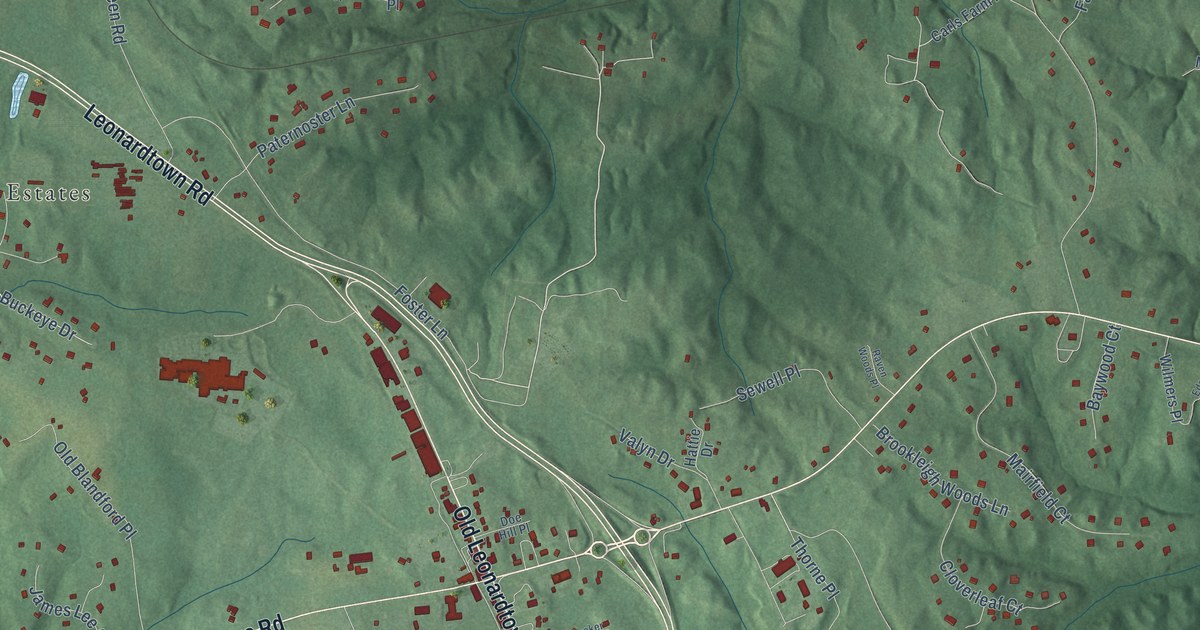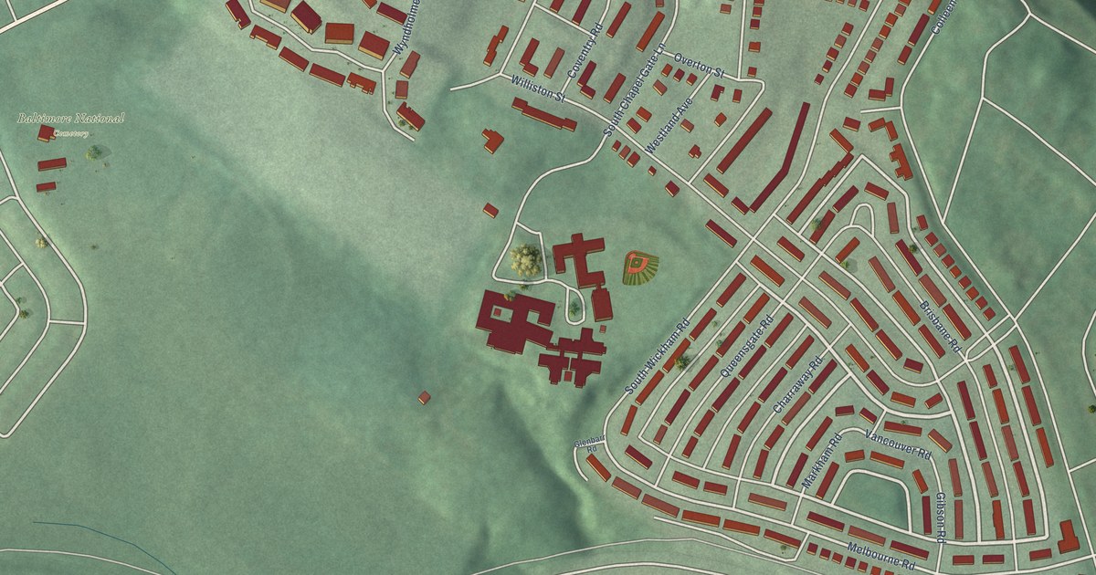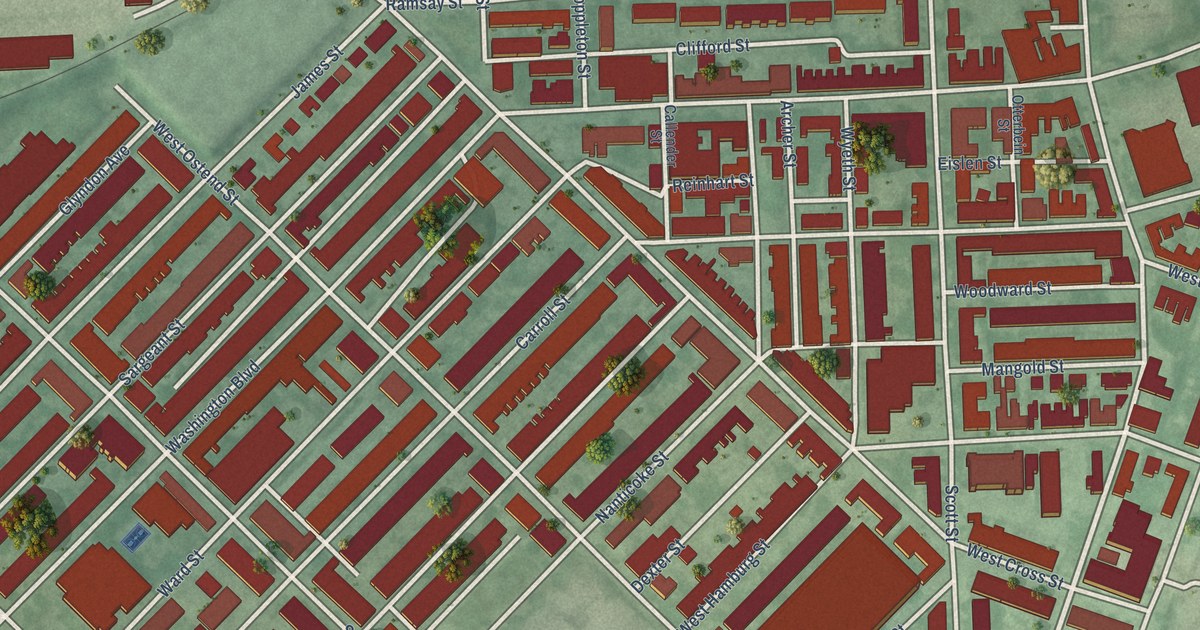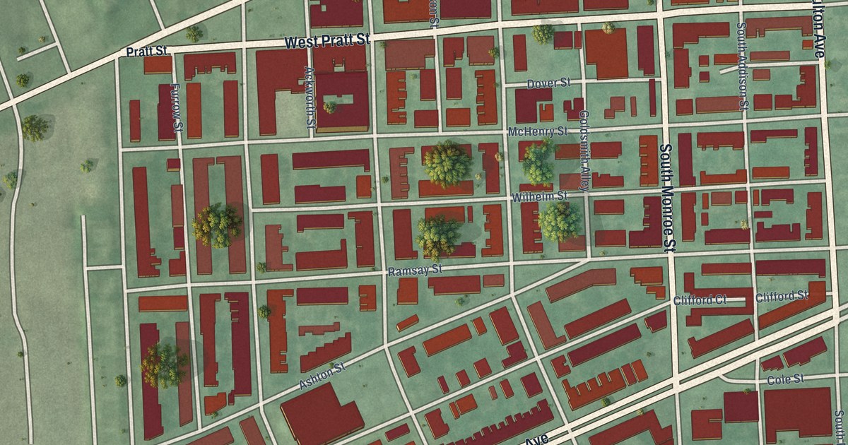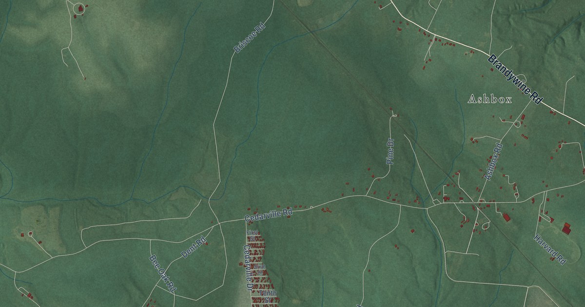
Cedarville is a community of 639 in Prince George's County, Maryland. This beautifully detailed map of Cedarville, Maryland was created in 2026 using aerial imagery combined with modern topographical, census, street and landmark data. It's a modern aerial view of Cedarville in Prince George's County, Maryland, that combines modern data with a vintage aesthetic. The roads feature printed names, and if you look closely you can find your exact house accurately shown in its correct location.
Explore an aerial view of Cedarville, Maryland
On this map you'll find Horsehead, Baden, Cedarville State Forest, The Village, Townshend, Ashbox, Brandywine Road, Aquasco Road, Crain Highway, Bevard Road, Bee Oak Trail, Cedarville Road, and more. Each red shape is a building, so zoom in on the preview and look for yours.
Cedarville has a story worth telling. Cedarville grew up around a railroad that was never finished. Local farmer Daniel Garner bought 57 acres near the planned Southern Maryland Railroad line in 1868, betting on a boom, and owned four buildings near the planned crossing, including a blacksmith shop. In 1879 he was among nine trustees who started Grace Methodist Episcopal Church there. That's from the Maryland Historical Trust.
Take a closer look at the Cedarville map
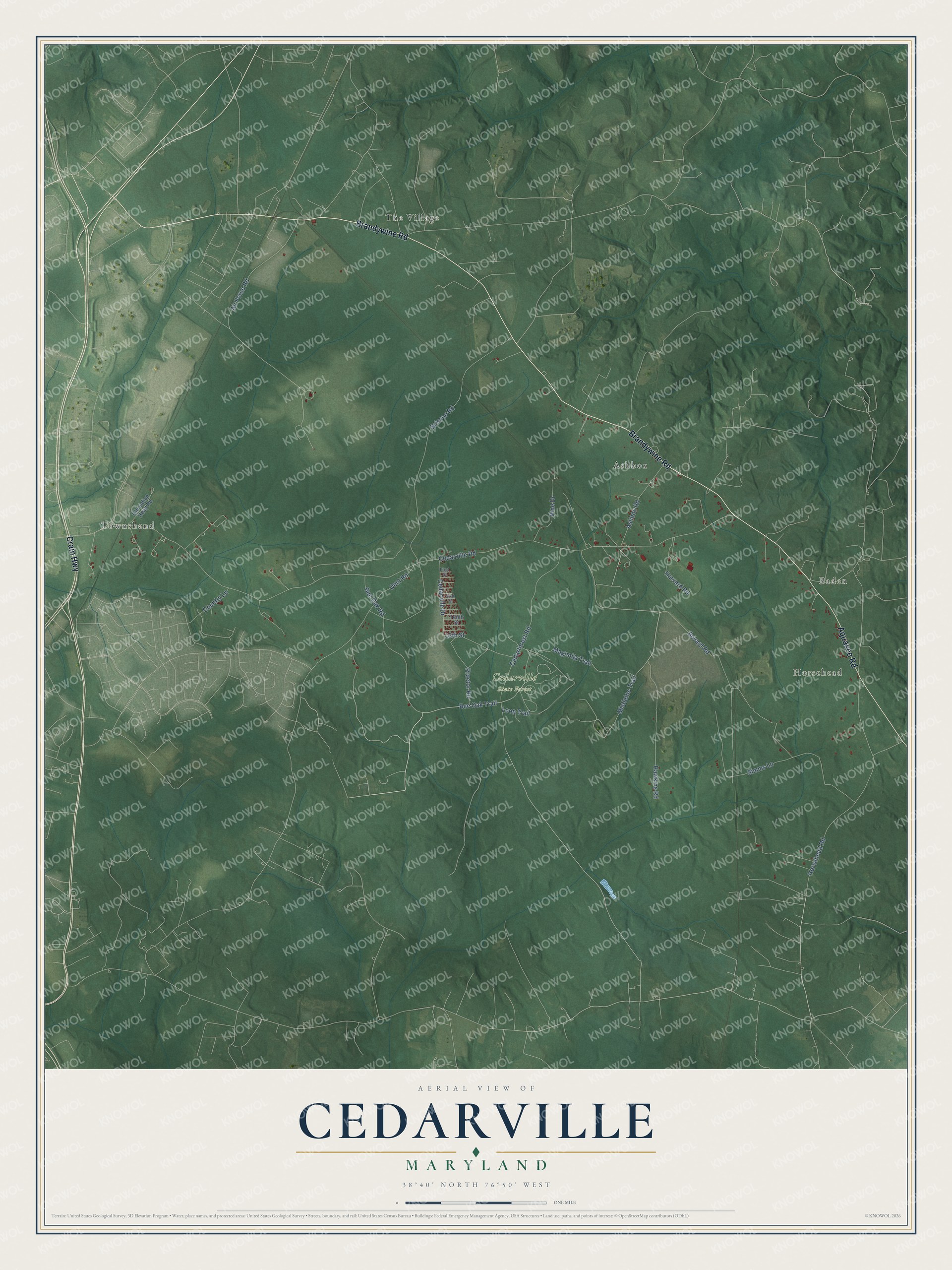
Names on this map
These names are printed on this map.
Places: Horsehead, Baden, Cedarville State Forest, The Village, Townshend and Ashbox.
Streets and roads: Brandywine Road, Aquasco Road, Crain Highway, Bevard Road, Bee Oak Trail, Cedarville Road, Briscoe Road, Horsehead Road, Cedarforest Road, Simms Lane, Bee Oak Road, Loop Trail.
More street names, A to Z
13th Street, Air Force Road, Ashbox Road, Cedarville Drive, Country Lane, Dent Road, First Street, Harvard Road, Hawkins Road, Magnolia Trail, Mistletoe Trail, Old Indian Head Road, Pine Drive, Proctor Road, Sixth Street, Tenth Street.
See it on a wall
The Cedarville map as a framed print. Swipe for more.


Created by KNOWOL in 2026. The buildings are small red shapes, the roads carry their printed names, and shaded relief shows the shape of the land. The title panel reads "AERIAL VIEW OF CEDARVILLE, MARYLAND" with 38°40' NORTH 76°50' WEST.
It looks right in a kitchen, an office or a den, and it's a gift for anyone who grew up in Cedarville or moved away. Open the preview and find your street. See sizes and frames for the Cedarville map.