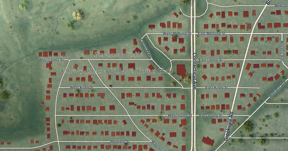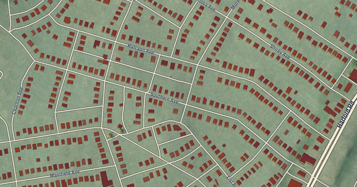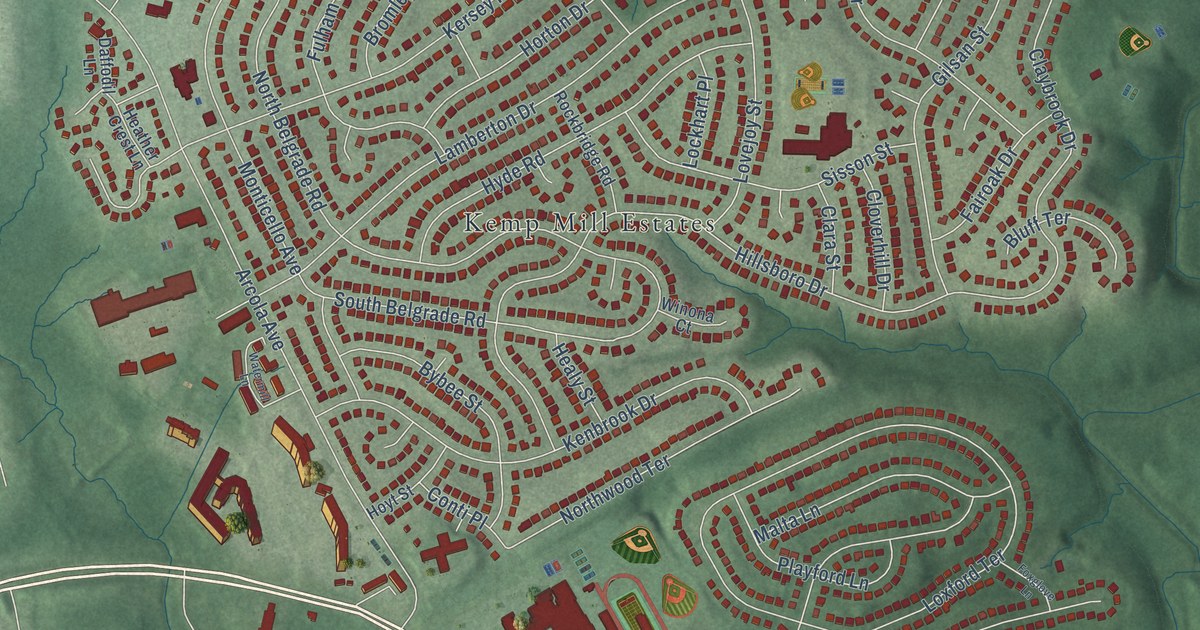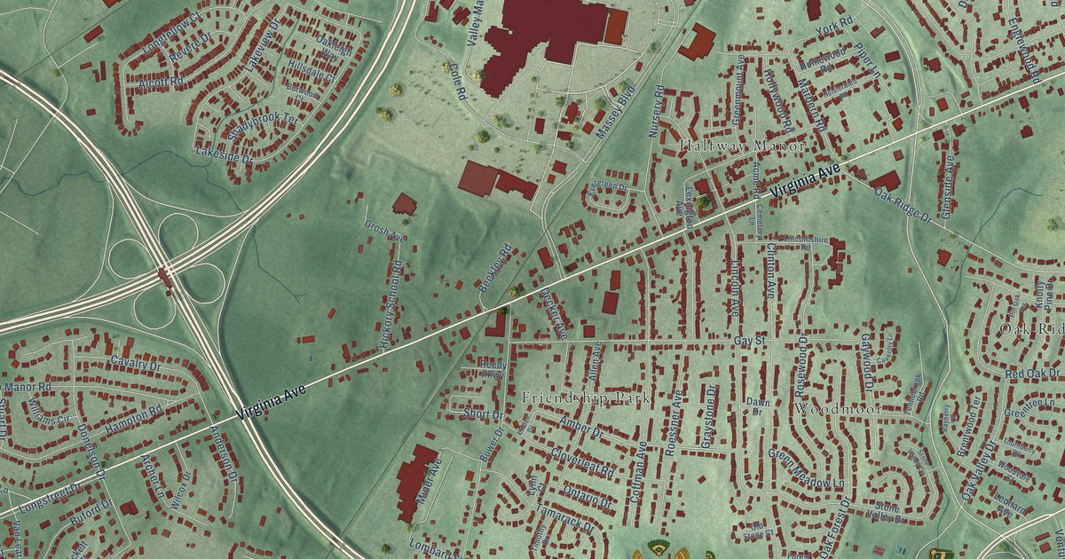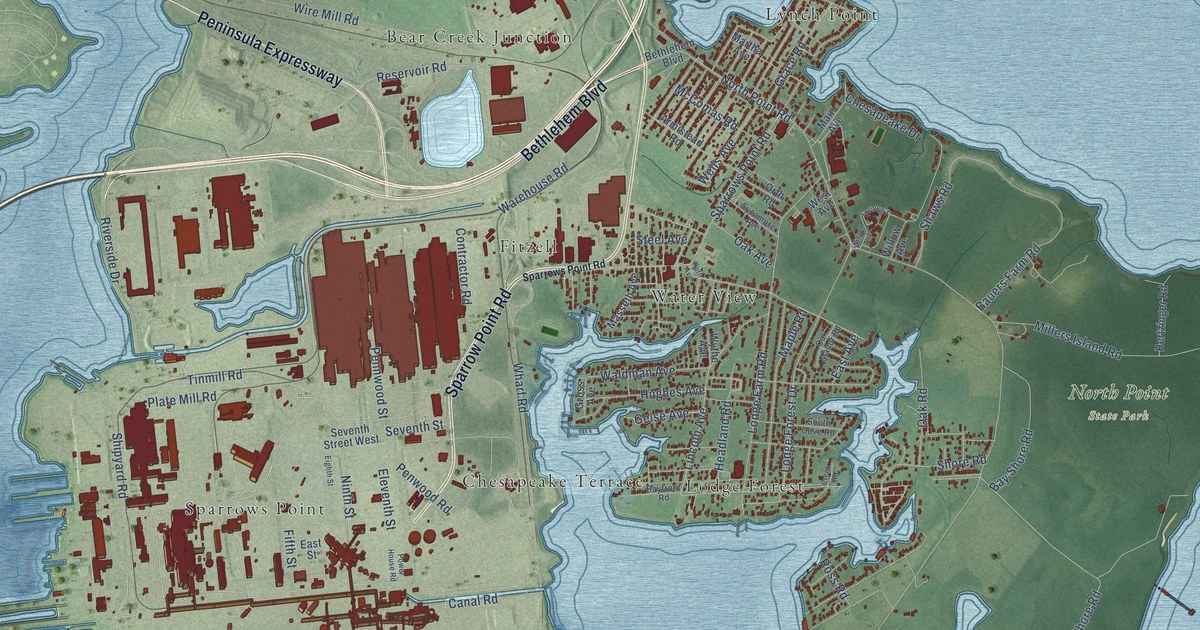
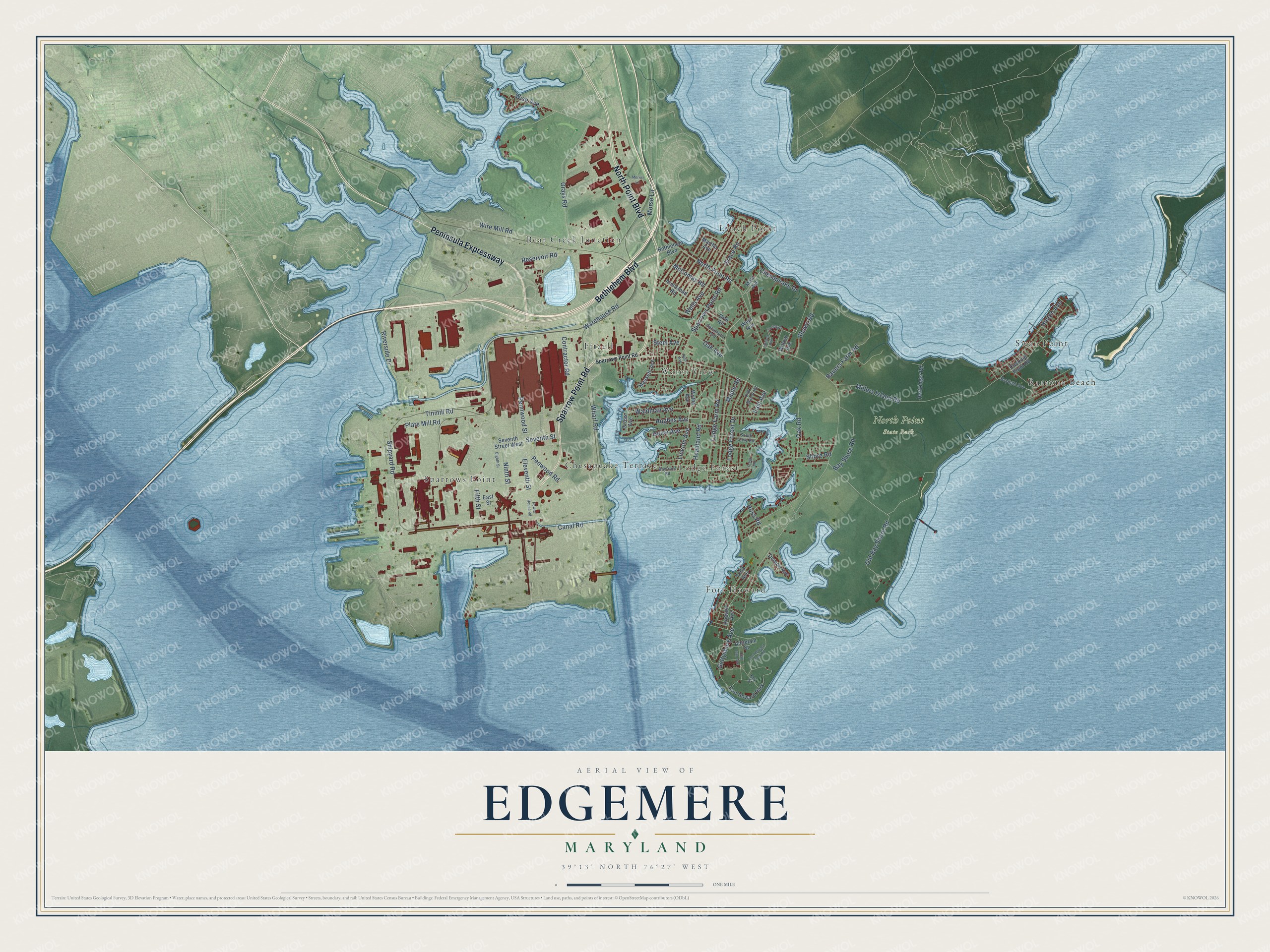
This beautifully detailed map of Edgemere, Maryland was created in 2026 using aerial imagery combined with modern topographical, census, street and landmark data. It’s a one-of-a-kind view of Edgemere that combines accurate data with a vintage aesthetic. The map shows every building in its true location, many of the roads carry their names, and the shaded topographic relief shows the shape of the land.
Explore an aerial view of Edgemere, Maryland
On the map you’ll find North Point State Park, Sparrows Point, Bear Creek Junction, Swan Point, Lodge Forest, Lynch Point, Fort Howard, Fitzell, Water View, and Ramona Beach, along with Chesapeake Terrace, Sparrow Point Road, and more. If you look closely you can even find your house accurately drawn in its correct location. Zoom in on the preview to look for yours.
Did You Know?
Bay Shore Park opened in 1906 on 30 acres along the Chesapeake Bay, built by the United Railways and Electric Company, a large streetcar company. Visitors came by trolley for swimming, dancing and amusement rides among Colonial Revival buildings and fountains, and it was perhaps the most popular park around Baltimore until it closed in 1947. Bethlehem Steel, its new owner, tore down most of the park, though the trolley station pier and the center fountain survived. That's from the Maryland Historical Trust.
Take a closer look at the Edgemere map
Names on this map
These names are printed on this map.
Places: North Point State Park, Sparrows Point, Bear Creek Junction, Swan Point, Lodge Forest, Lynch Point, Fort Howard, Fitzell, Water View, Ramona Beach, Chesapeake Terrace and Fort Howard Park.
Streets and roads: Sparrow Point Road, Peninsula Expressway, Bethlehem Boulevard, North Point Boulevard, Shipyard Road, Riverside Drive, Ninth Street, Eleventh Street, Old Bay Shore Road, Bay Shore Road, North Point Road, Millers Island Road.
More street names, A to Z
Antietam Street, Armistead Road, Bauers Farm Road, Bayfront Road, Baylight Avenue, Canal Road, Chesapeake Drive, Contractor Road, Creek Road, Cuckold Point Road, Denton Avenue, East Avenue, East Street, Eighth Street, Fifth Street, Fort Howard Park Road, Geise Avenue, Gettysburg Avenue, Grace Road, Grays Road, Gross Avenue, Headland Road, Hertzinger Road, Hinton Avenue, Howard Avenue, Hughes Avenue, Key Street, Lincoln Avenue, Lodge Farm Road, Lodge Forest Drive, Loring Court, Main Avenue, Maple Road, Martha Avenue, Masseth Avenue, McComas Road, Merritt Lane, Morse Lane, Oak Avenue, Oak Manor Road, Oak Road, Orth Road, Pennwood Street, Penwood Road, Plate Mill Road, Power House Road, Reservoir Road, Ross Road, Ruth Avenue, San Juan Avenue, Seventh Street, Seventh Street West, Shaws Road, Shore Road, South Cove Road, Sparrows Point Road, Steel Avenue, Sycamore Avenue, Tinmill Road, Todd Avenue, Waldman Avenue, Warehouse Road, Wells Avenue, West Avenue, Wharf Road, Willow Avenue, Winsor Avenue, Wire Mill Road, Wise Avenue, Wythe Avenue.
See it on a wall
The Edgemere map as a framed print. Swipe for more.


This beautifully detailed map of Edgemere makes an attractive addition to your office, library, or den, and it can even be used to teach children the geography and history of the area. It also makes a great gift for someone who left Edgemere and still calls it home. When you’re done exploring, click here to get your copy of the Edgemere map.