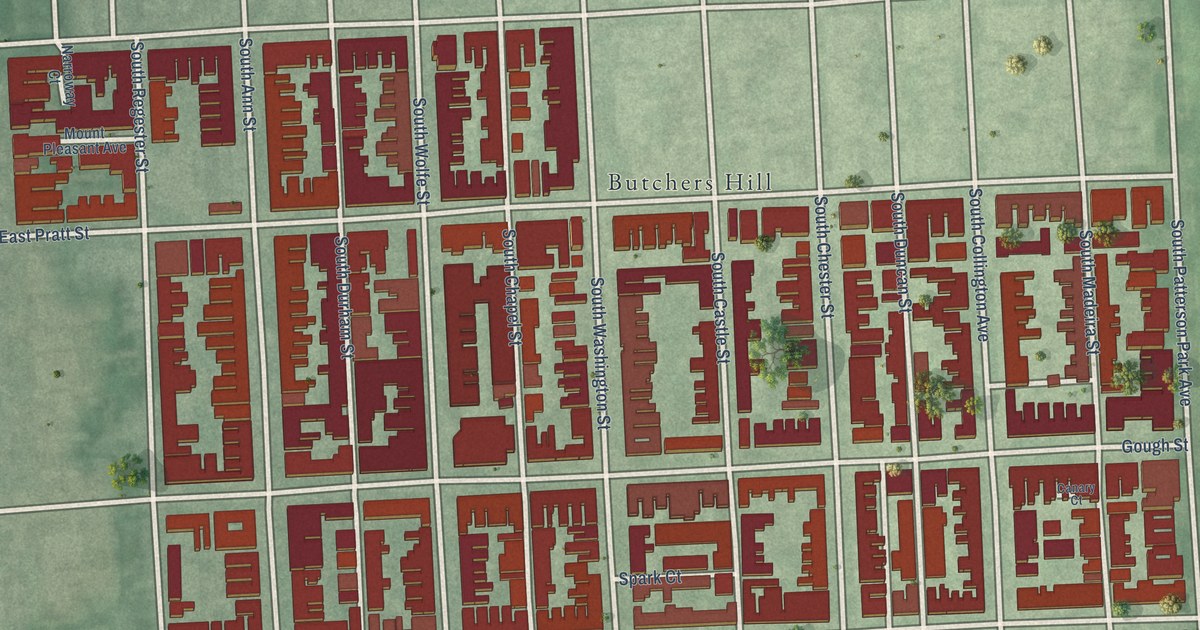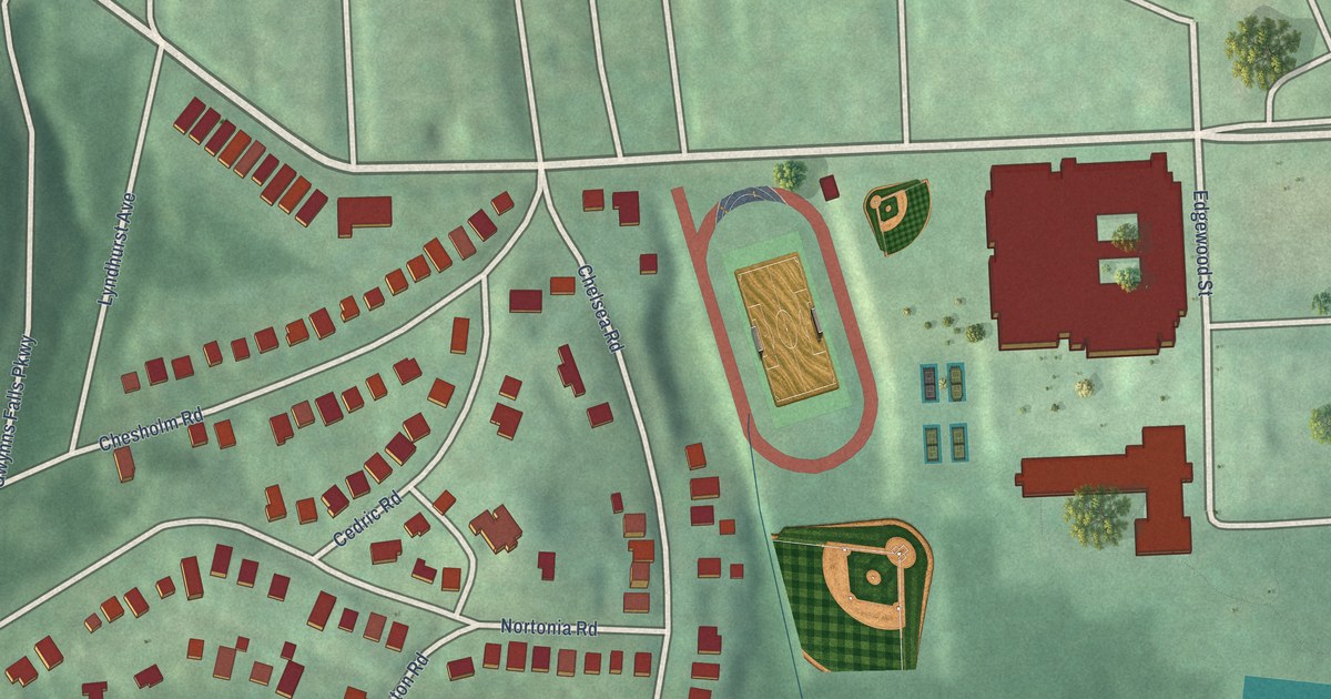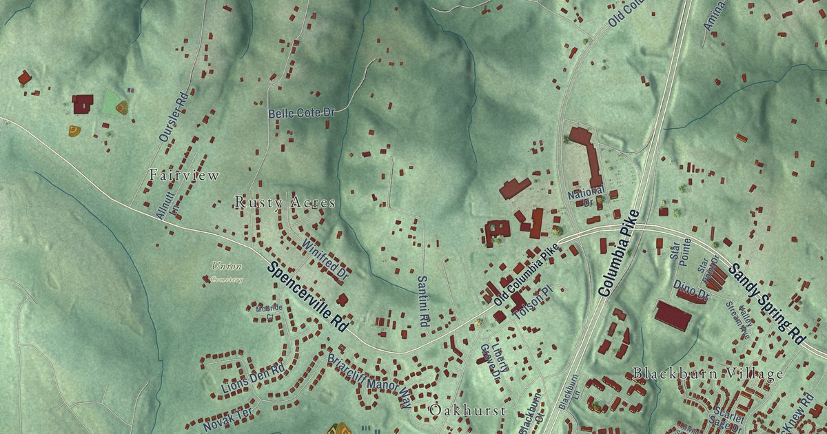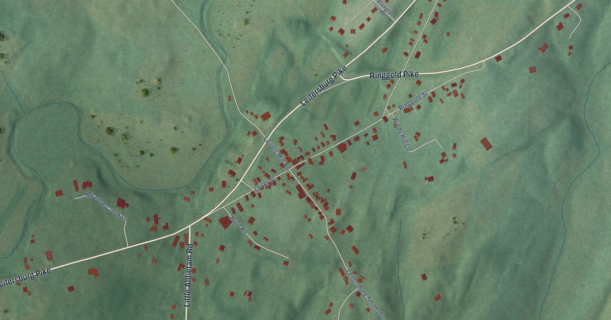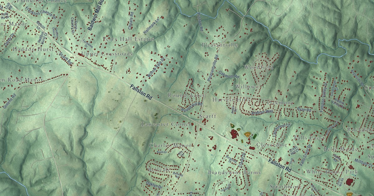
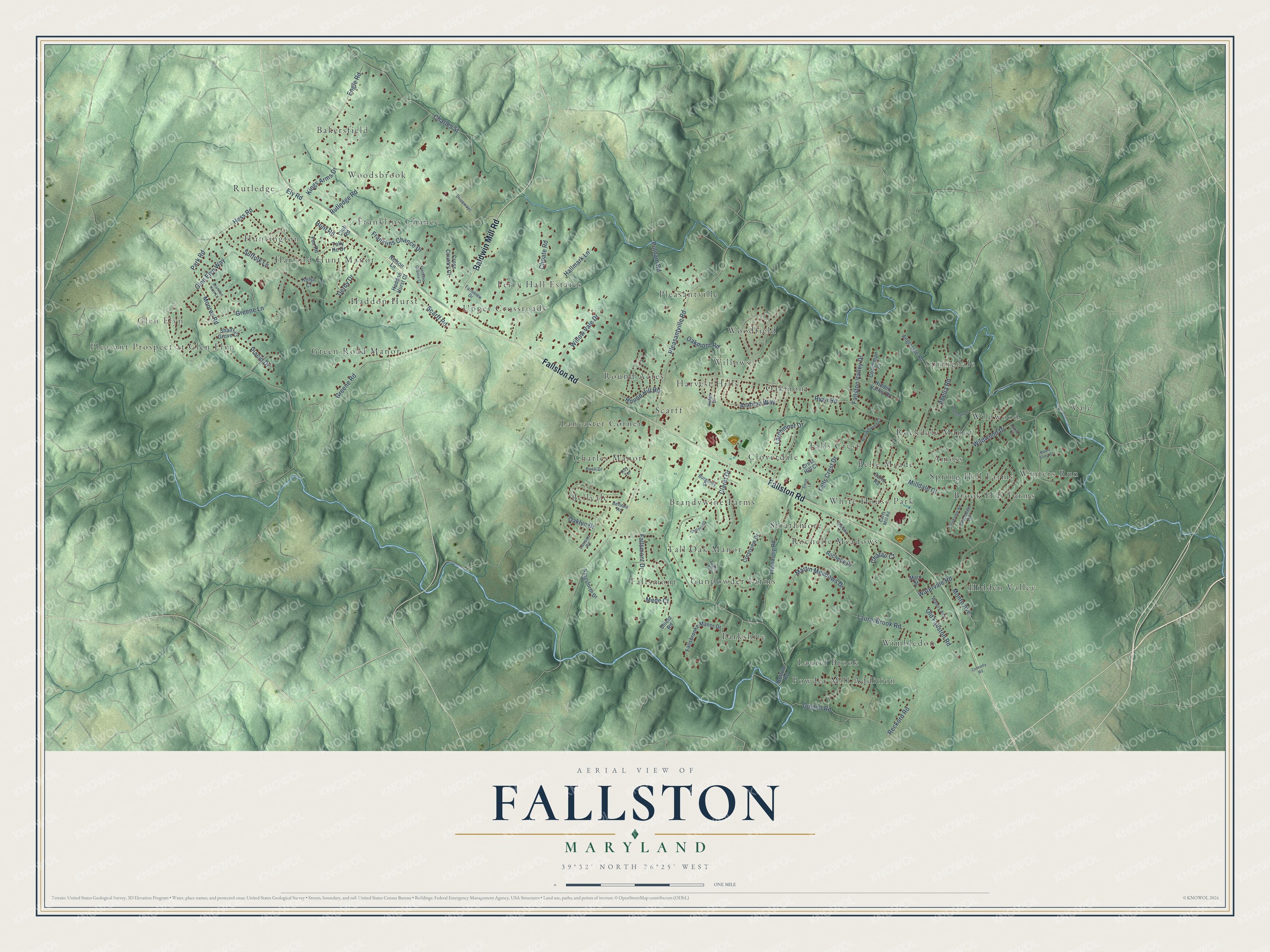
This beautifully detailed map of Fallston, Maryland was created in 2026 using aerial imagery combined with modern topographical, census, street and landmark data. It's a modern aerial view of Fallston in Harford County, Maryland, that combines modern data with a vintage aesthetic. The roads feature printed names, and if you look closely you can find your exact house accurately shown in its correct location.
Explore an aerial view of Fallston, Maryland
On this map you'll find Glen Elyn, Vale, Powder Mill Addition, Perry Hall Estates, White House Park, Bellvale, Rutledge, Woodfield, Green Road Manor, Wimbledon, Lancaster Corner, Rockdale Manor, and more. Each red shape is a building, so zoom in on the preview and look for yours.
Here is a piece of Fallston history. Quakers were meeting at the Little Falls of the Gunpowder River by 1747, in a meeting begun by William Amos, a Harford County man who found his own religious beliefs matched the Friends'. Their meeting house on Old Fallston Road dates from 1843, and it has been called the largest one-story meeting house to survive in Maryland. The meeting kept a school from about 1749 into the early 1900s, at one time running three Quaker schools at once. That's from the Maryland Historical Trust.
Fallston is a community in Harford County. The Census Bureau counted 9,306 people here in 2020.
Take a closer look at the Fallston map
Names on this map
These names are printed on this map.
Places: Glen Elyn, Vale, Powder Mill Addition, Perry Hall Estates, White House Park, Bellvale, Rutledge, Woodfield, Green Road Manor, Wimbledon, Lancaster Corner, Rockdale Manor, Bakersfield, Gunpowder Farms, Strathmore, Harvest Hills, Winters Run, Franklins Chance, Springdale, Fallsmont, Hidden Valley, Huntington, Cloverdale, Brook Hill Farms, Brandywine Farms, Parkshire, Charles Manor, Upper Crossroads, Oakmont, Woodsbrook, Round Acres, Harford Hunt Manor, Haddon Hurst, Pleasantville, Wildwood, Belle Meade, Willows, Rochelle Meadows, Pleasant Prospect at Glen Elyn, Amoss, Falls Crest, Laurel Brook, Spring Hill Farms, Tall Oak Manor and Scarff.
Streets and roads: Fallston Road, Baldwin Mill Road, Glen Elyn Way, Pleasantville Road, Laurel Brook Road, Watervale Road, Oakmont Road, Old Fallston Road, Rutledge Road, Ryan Road, Greene Road, Engle Road.
More street names, A to Z
Abelia Road, Angleside Road, Arabian Way, Arden Drive, Bellvale Road, Bottom Road, Brandon Hunt Lane, Brookhaven Court, Buell Drive, Burgundy Drive, Carlo Road, Carrs Mill Road, Charles Street, Chatau Court, Chateau Court, Choate Road, Claret Drive, Club Road, Coachman Court, Connolly Road, Crest Hill Court, Crestview Drive, Cross Country Court, Derby Drive, Driveways, Ely Road, Fallsbrooke Manor Drive, Falls Crest Drive, Fallsmont Drive, Fallston Valley Drive, Farmview Drive, Fox Road, Franklins Chance Court, Franklins Chance Drive, Friendship Road, Greene Lane, Grist Court, Guyton Road, Haddon Hurst Court, Hallmark Lane, Hess Road, Hidden Valley Court, Hunt Road, Kelso Court, Kings Arms Drive, Kingsforth Drive, Larchmont Drive, Lawson Road, Main Street, Marquis Court, Martin Meadows Drive, Mede Court, Milldale Court, Monte Avenue, Moores Road, Mount Soma Court, Nelson Lane, Oaklyn Drive, Park Road, Peachtree Road, Placid Drive, Putnam Road, Reckord Road, Robinson Lane, Rochelle Drive, Round Hill Road, Roy Terrace, Scarff Road, Shady Grove Court, Shield Road, Smith Lane, Sturbridge Road, Suffolk Lane, Tally Ho Drive, Taplin Avenue, Waters Avenue, Wildwood Drive, Willow Vale Drive.
See it on a wall
The Fallston map as a framed print. Swipe for more.


Created by KNOWOL in 2026. The buildings are small red shapes, the roads carry their printed names, and shaded relief shows the shape of the land. The title panel reads "AERIAL VIEW OF FALLSTON, MARYLAND" with 39°32' NORTH 76°25' WEST.
It suits a den, a classroom or a front hall, and it makes a gift for anyone with Fallston roots. Open the preview and find the block you know. See sizes and frames for the Fallston map.