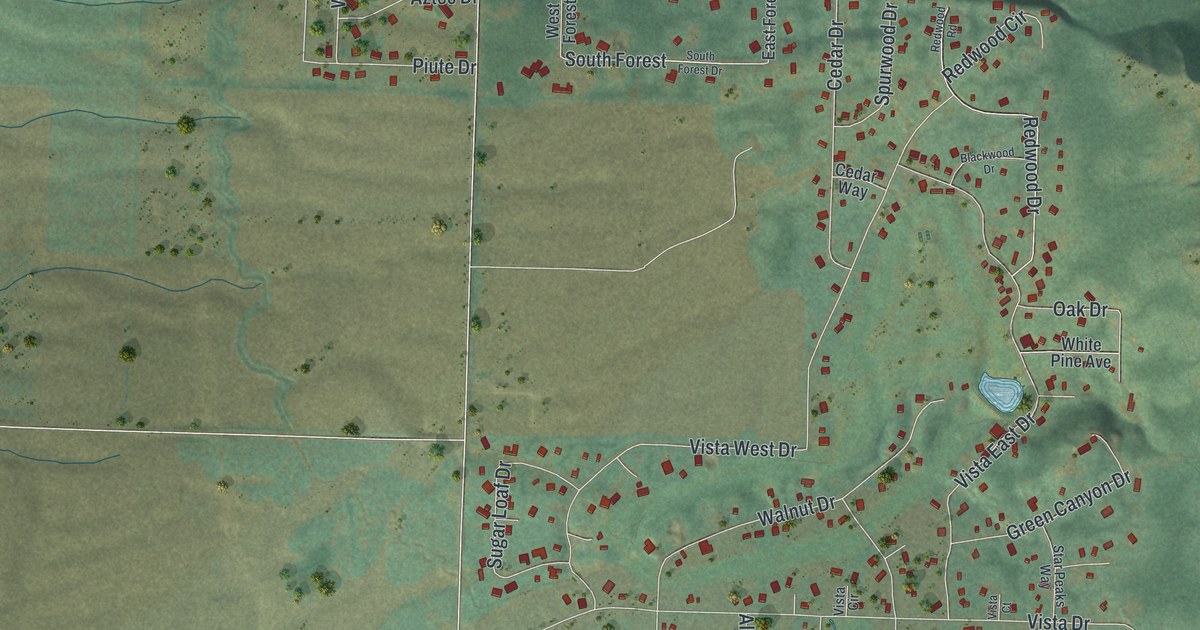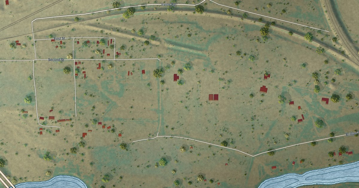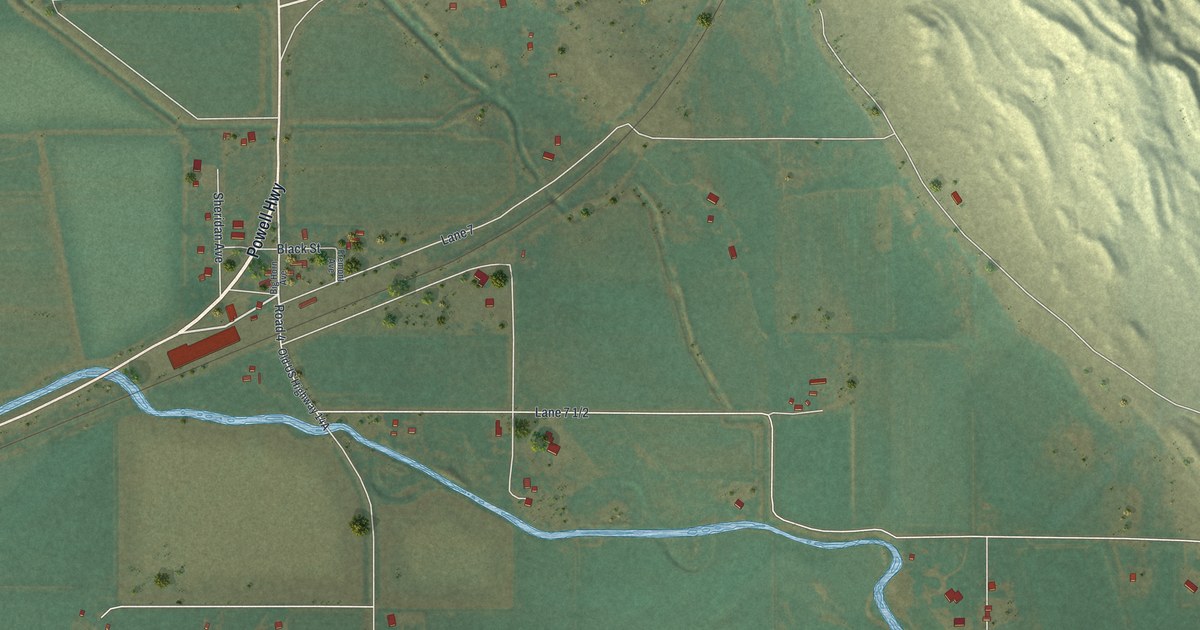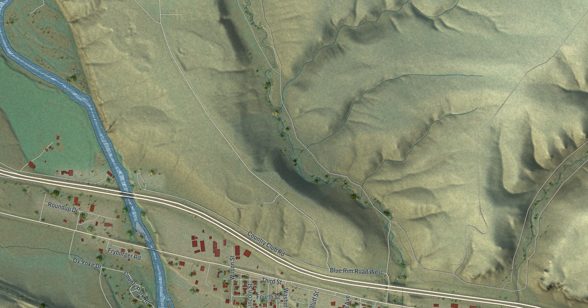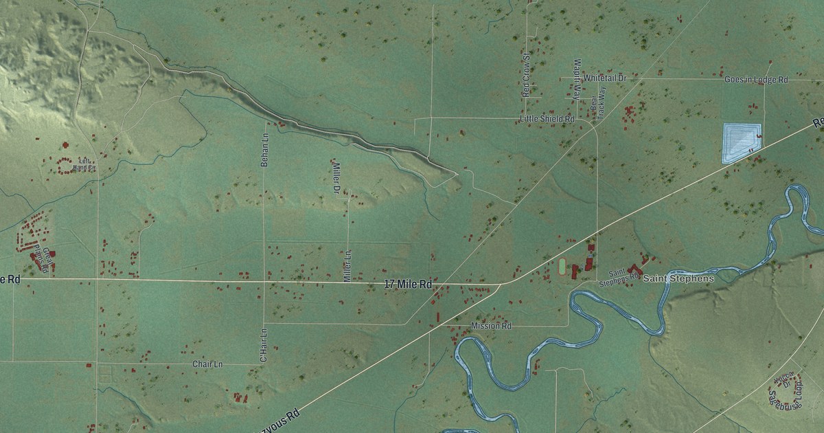
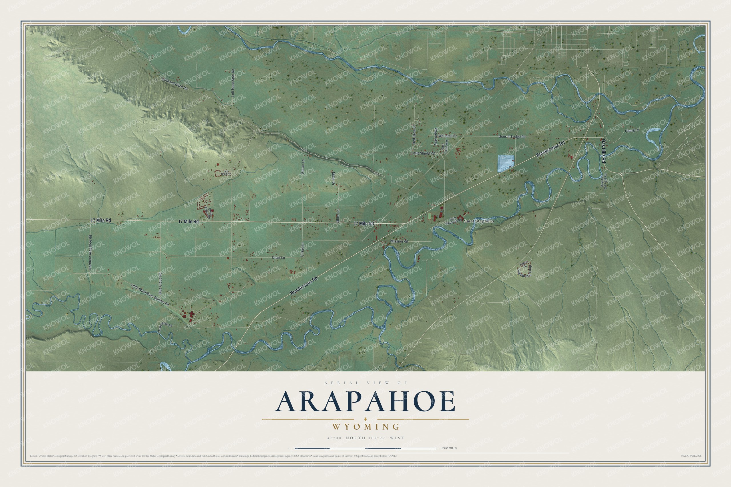
This beautifully detailed map of Arapahoe, Wyoming was created in 2026 using aerial imagery combined with modern topographical, census, street and landmark data. It’s a one-of-a-kind view of Arapahoe that combines accurate data with a vintage aesthetic. The map shows every building in its true location, many of the roads carry their names, and the shaded topographic relief shows the shape of the land.
Explore an aerial view of Arapahoe, Wyoming
On the map you’ll find Saint Stephens, along with 17 Mile Road, Rendezvous Road, Gas Hills Road, Little Shield Road, C’Hair Lane, Lefthand Ditch Road, Goes in Lodge Road, Mission Road, Little Wind River Bottom Road, Blue Cloud Road, Behan Lane, and more. If you look closely you can even find your house accurately drawn in its correct location. Zoom in on the preview to look for yours.
Did You Know?
St. Stephen's Mission was founded by the Jesuit priest John B. Jutz, with the approval of the Arapaho leader Chief Black Coal and support from Saint Katharine Drexel. Jesuits and Franciscan Sisters ran its school until control passed to the St. Stephens Indian School Educational Association, a local Native American corporation. The mission later began holding services that used the Arapaho language and Arapaho ritual. That's from the Marquette University Archives.
Take a closer look at the Arapahoe map
Names on this map
These names are printed on this map.
Places: Saint Stephens.
Streets and roads: 17 Mile Road, Rendezvous Road, Gas Hills Road, Little Shield Road, C'Hair Lane, Lefthand Ditch Road, Goes in Lodge Road, Mission Road, Little Wind River Bottom Road, Blue Cloud Road, Behan Lane, Red Crow Street.
More street names, A to Z
Bear Track Way, Chair Lane, Great Plains Road, Left Hand Circle, Left Hand Spur Road, Miller Drive, Miller Lane, Northern Arapahoe Road, Oberg Lane, Riverton Oil Field Road, Sagebrusg Loop, Saint Stephens Road, Sharp Nose Road, Wapiti Way, Whitetail Drive, Yucca Drive.
See it on a wall
The Arapahoe map as a framed print. Swipe for more.


This beautifully detailed map of Arapahoe makes an attractive addition to your office, library, or den, and it can even be used to teach children the geography and history of the area. It also makes a great gift for someone who left Arapahoe and still calls it home. When you’re done exploring, click here to get your copy of the Arapahoe map.