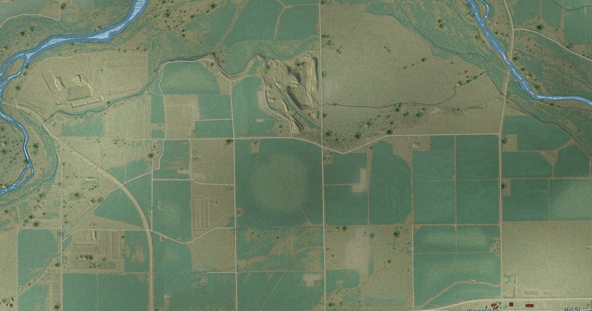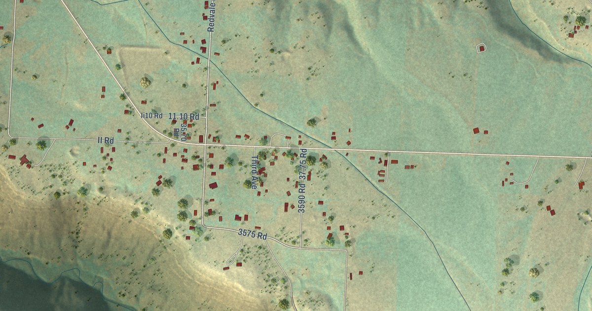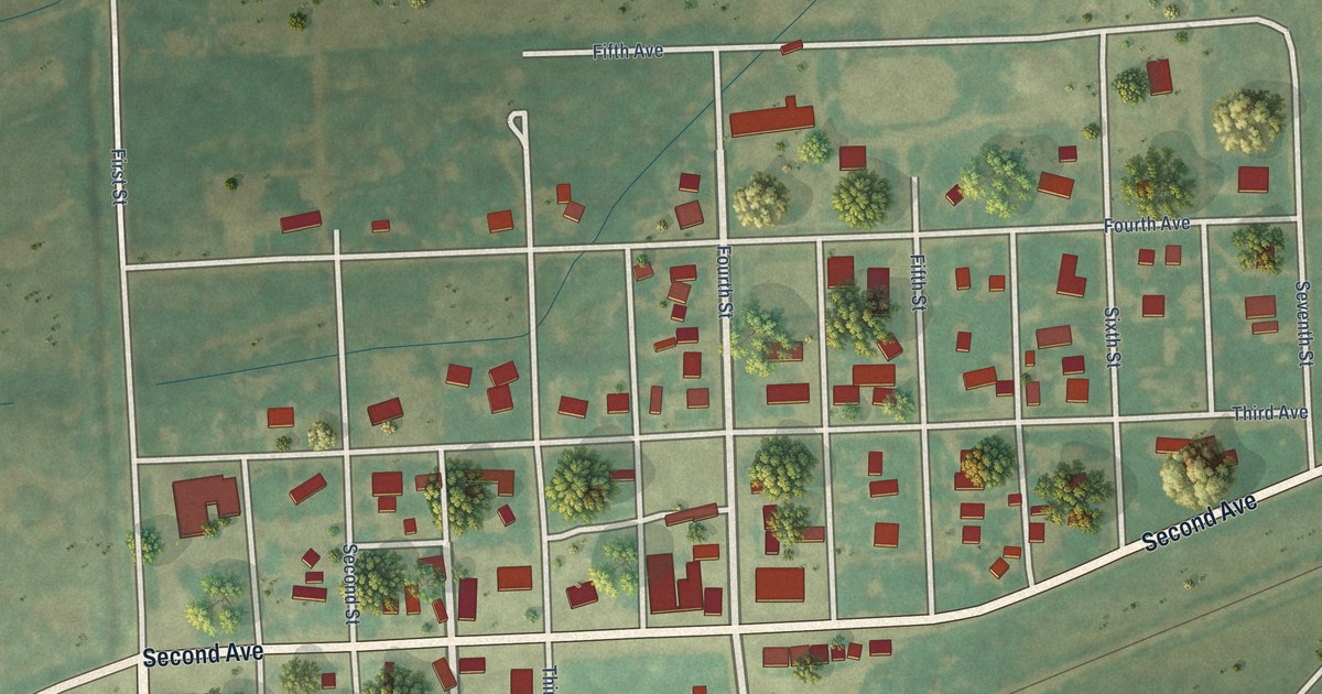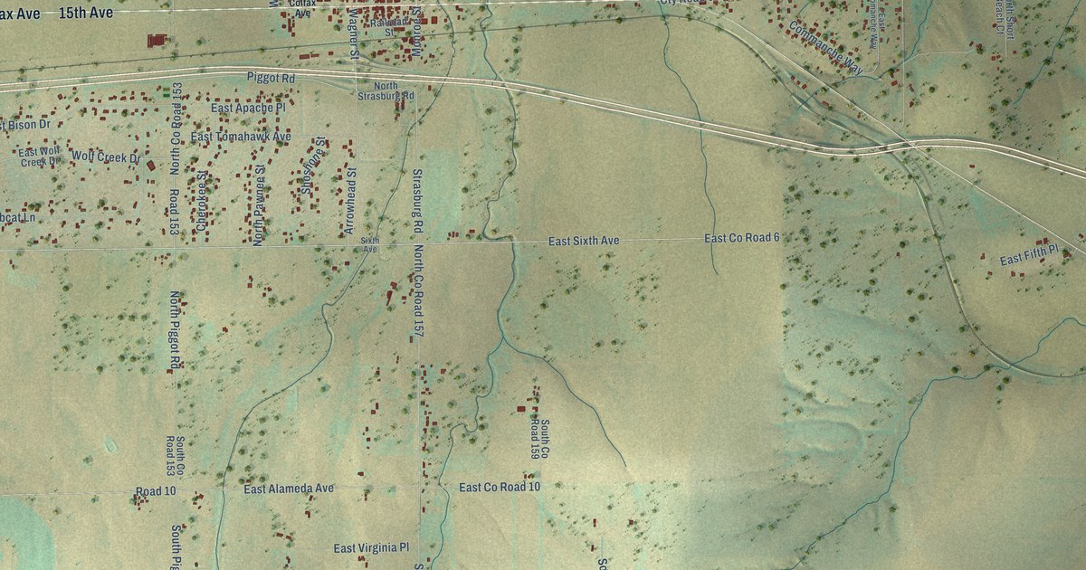
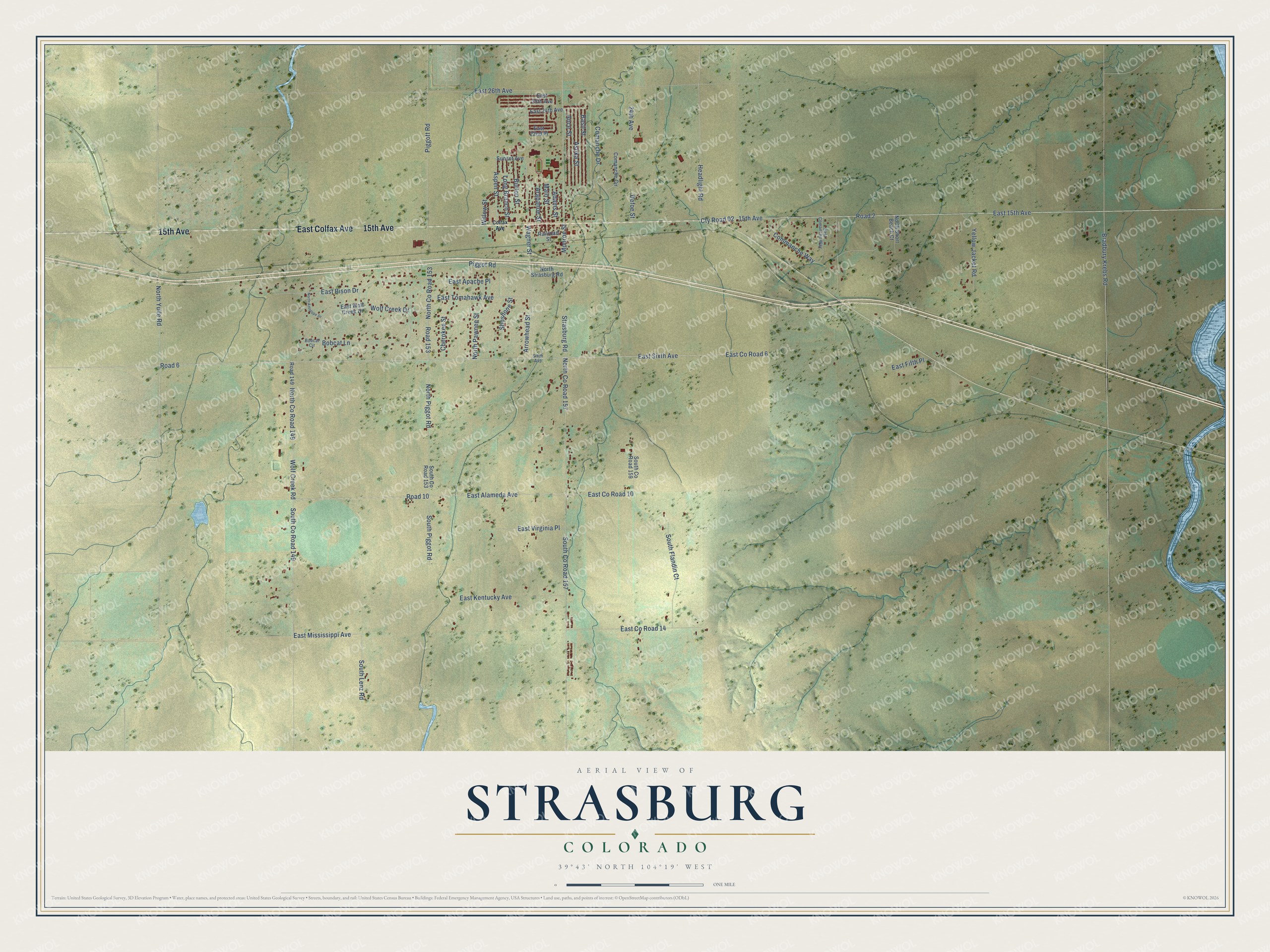
This beautifully detailed map of Strasburg, Colorado was created in 2026 using aerial imagery combined with modern topographical, census, street and landmark data. It's a modern aerial view of Strasburg in Arapahoe County, Colorado, that combines modern data with a vintage aesthetic. The roads feature printed names, and if you look closely you can find your exact house accurately shown in its correct location.
Explore an aerial view of Strasburg, Colorado
On this map you'll find 15th Avenue, East Colfax Avenue, Piggot Road, Wagner Street, Road 153, East Sixth Avenue, East Tomahawk Avenue, Arrowhead Street, Wolf Creek Drive, Aspen Street, East Co Road 6, East 15th Avenue, and more. Each red shape is a building, so zoom in on the preview and look for yours.
Here is a piece of Strasburg history. On August 15, 1870, the Kansas Pacific Railroad finished its line at Comanche Crossing, about three quarters of a mile east of Strasburg. That last spike completed the first permanent chain of railroads from coast to coast, though no silver or golden spike marked the day as at Promontory, Utah. The crossing took its name from the railroad bridge over Comanche Creek nearby. Until March 1872, this route through Denver and Kansas City was the only all rail route from coast to coast. That's from the National Register of Historic Places.
Strasburg is a community in Arapahoe County. The Census Bureau counted 3,307 people here in 2020.
Take a closer look at the Strasburg map
Names on this map
These names are printed on this map.
Streets and roads: 15th Avenue, East Colfax Avenue, Piggot Road, Wagner Street, Road 153, East Sixth Avenue, East Tomahawk Avenue, Arrowhead Street, Wolf Creek Drive, Aspen Street, East County Road 6, East 15th Avenue.
More street names, A to Z
24th Avenue, Adams Street, Ance Street, Arapahoe Street, Asoka Street, Basil Street, Bobcat Circle, Bobcat Lane, Bradbury Krebs Road, Burton Street, Cherokee Street, Colfax Avenue, Comanche Circle, Comanche Drive, Commanche Way, Cty Road 02, Defoe Street, East 22nd Place, East 24th Avenue, East 25th Avenue, East 26th Avenue, East Alameda Avenue, East Apache Place, East Bison Drive, East Comanche Way, East County Road 10, East County Road 14, East Fifth Place, East Kentucky Avenue, East Mississippi Avenue, East Virginia Place, East Wolf Creek Drive, Headlight Road, Long Branch Street, Main Street, Monroe Street, North Antelope Drive, North County Road 149, North County Road 153, North County Road 157, North Pawnee Street, North Piggot Road, North Short Beach Court, North Strasburg Road, North Yulle Road, Piggott Road, Railroad Street, Road 2, Road 6, Road 10, Road 149, Shoshone Street, Sixth Avenue, South County Road 149, South County Road 153, South County Road 157, South County Road 159, South Flandin Court, South Lenz Road, South Piggot Road, Strasburg Road, Sunset Avenue, Willow Street, Wolf Creek Road, Yellow Jacket Road.
See it on a wall
The Strasburg map as a framed print. Swipe for more.


Created by KNOWOL in 2026. The buildings are small red shapes, the roads carry their printed names, and shaded relief shows the shape of the land. The title panel reads "AERIAL VIEW OF STRASBURG, COLORADO" with 39°43' NORTH 104°19' WEST.
It suits a den, a classroom or a front hall, and it makes a gift for anyone with Strasburg roots. Open the preview and find the block you know. See sizes and frames for the Strasburg map.