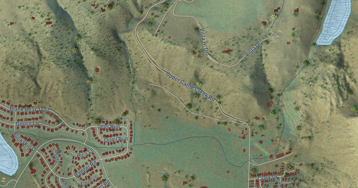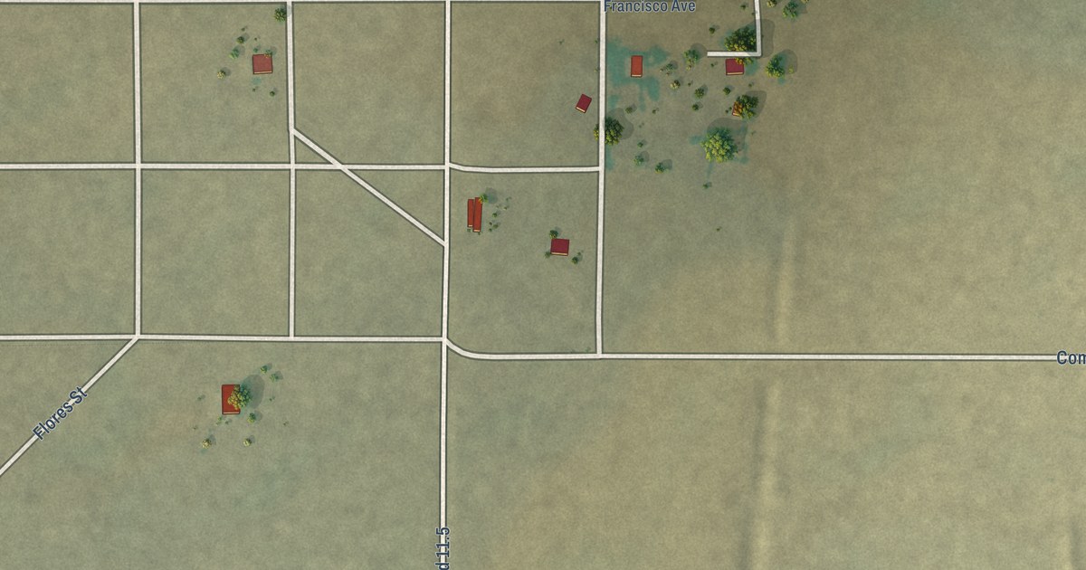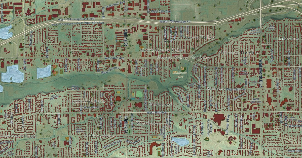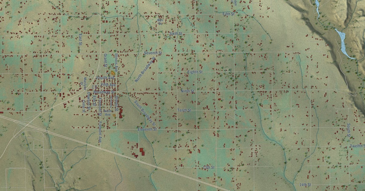
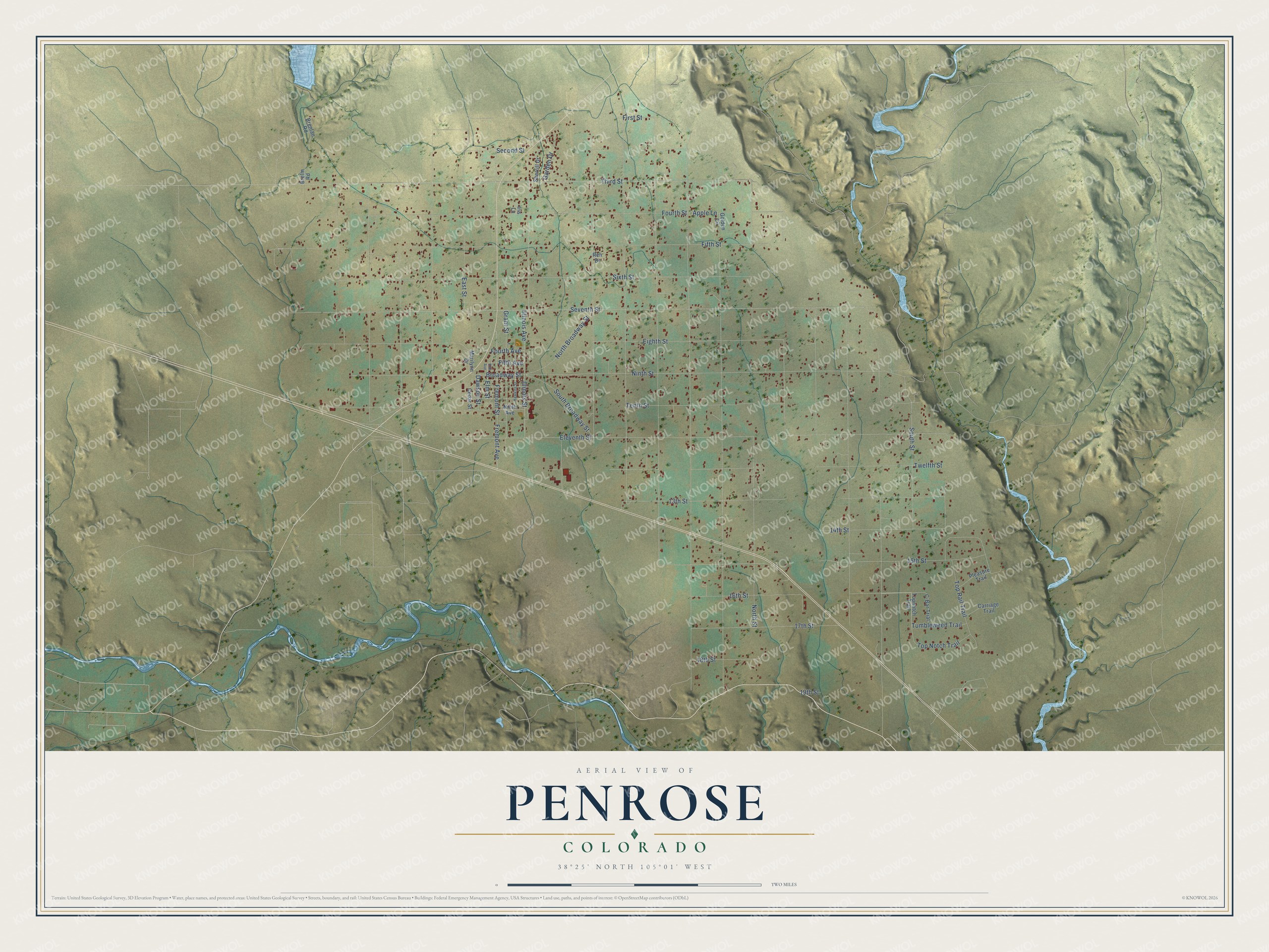
This beautifully detailed map of Penrose, Colorado was created in 2026 using aerial imagery combined with modern topographical, census, street and landmark data. It's a modern aerial view of Penrose in Fremont County, Colorado, that combines modern data with a vintage aesthetic. The roads feature printed names, and if you look closely you can find your exact house accurately shown in its correct location.
Explore an aerial view of Penrose, Colorado
On this map you'll find Broadway Street, Seventh Street, Third Street, Ninth Street, Eleventh Street, Sixth Street, Fifth Street, Fourth Street, Eighth Street, 15th Street, Tenth Street, 13th Street, and more. Each red shape is a building, so zoom in on the preview and look for yours.
Here is a piece of Penrose history, in the words of the record. The Estes Industries company history puts it this way: "Vern Estes moved the company to a 77-acre facility in Penrose, Colorado. Rapid growth followed at Estes, and Penrose became widely known as the Model Rocket Capital of the World." Vern and Gleda Estes had founded the company in 1958 as a modest mail order business. In the 1960s it pioneered multi-staging, rocket boosted glide recovery and scale replicas of real rockets like the Redstone, Mercury and Atlas.
Penrose is a community in Fremont County. The Census Bureau counted 3,685 people here in 2020.
Take a closer look at the Penrose map
Names on this map
These names are printed on this map.
Streets and roads: Broadway Street, Seventh Street, Third Street, Ninth Street, Eleventh Street, Sixth Street, Fifth Street, Fourth Street, Eighth Street, 15th Street, Tenth Street, 13th Street.
More street names, A to Z
14th Street, 16th Street, 17th Street, 18th Street, 19th Street, Apple Lane, Brelin Road, Brenlan Road, C-Bar Trial, Carriage Trail, Cedar Street, Dawson Street, East Street, Elm Avenue, Elm Street, Fifth Avenue, First Street, Fourth Avenue, Fremont Avenue, Fremont Street, Garden Drive, Golden Circle, Grant Street, Hawkins Street, Illinois Avenue, Illinois Street, Iris Lane, Marilynn Drive, Ninth Avenue, North Broadway Street, North Street, Pleasure Trail, Ren Drive, Second Street, Sherrill Drive, South Broadway Street, South Street, Top Notch Trail, Topnotch Trail, Top Rail Trail, Tumbleweed Trail, Twelfth Street.
See it on a wall
The Penrose map as a framed print. Swipe for more.


Created by KNOWOL in 2026. The buildings are small red shapes, the roads carry their printed names, and shaded relief shows the shape of the land. The title panel reads "AERIAL VIEW OF PENROSE, COLORADO" with 38°25' NORTH 105°01' WEST.
It suits a den, a classroom or a front hall, and it makes a gift for anyone with Penrose roots. Open the preview and find the block you know. See sizes and frames for the Penrose map.