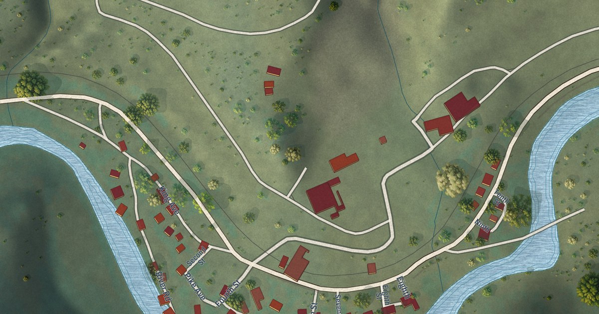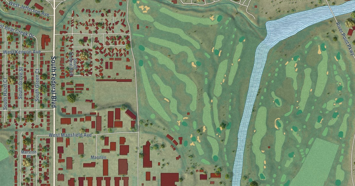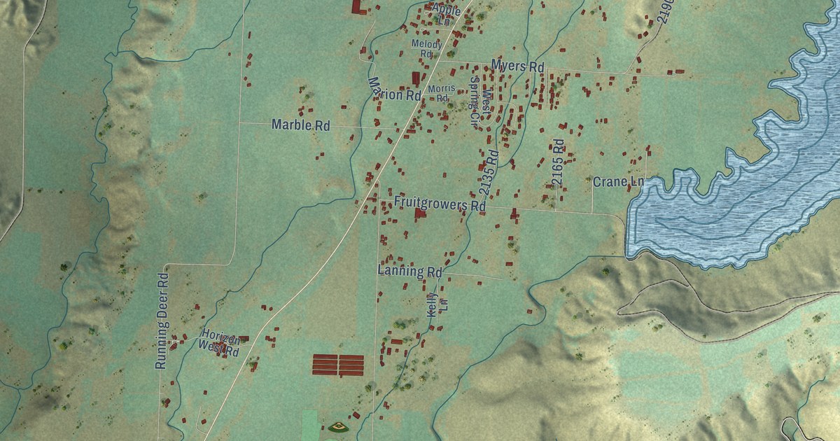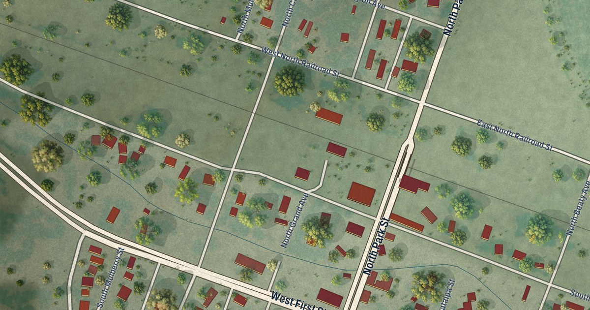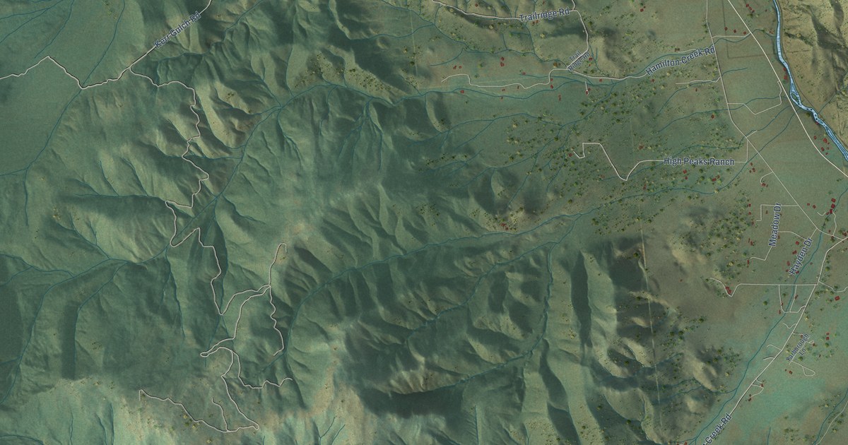
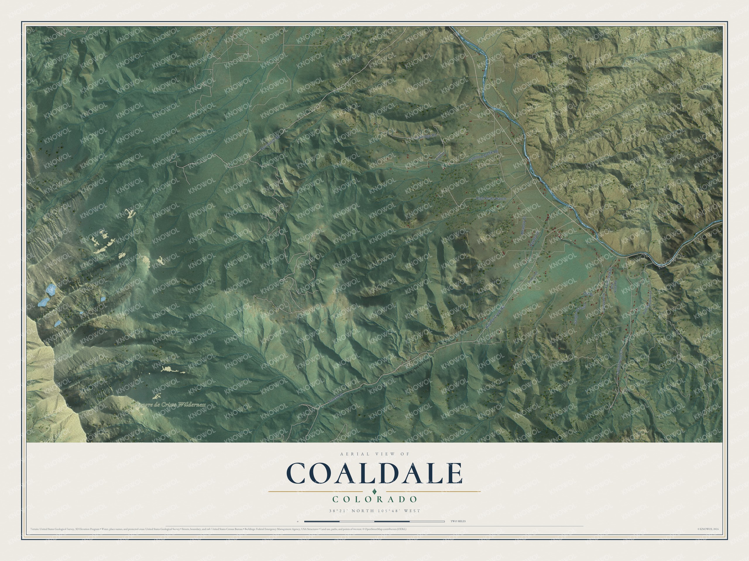
This beautifully detailed map of Coaldale, Colorado was created in 2026 using aerial imagery combined with modern topographical, census, street and landmark data. It's a modern aerial view of Coaldale in Fremont County, Colorado, that combines modern data with a vintage aesthetic. The roads feature printed names, and if you look closely you can find your exact house accurately shown in its correct location.
Explore an aerial view of Coaldale, Colorado
On this map you'll find Sangre de Cristo Wilderness, Hayden Creek Road, Kerr Gulch Road, Hamilton Creek Road, Forest Road, Trailridge Road, High Peaks Ranch, Fox Creek Drive, Cottonwood Cr, Sangre de Cristo, Meadow Drive, Hayden Drive, and more. Each red shape is a building, so zoom in on the preview and look for yours.
Coaldale has a story worth telling. Coaldale, near the mouth of Hayden Creek, took its name from the charcoal kilns that stood there in early days. Its post office was first called Hayden Creek, then Palmer and Hendricks, before the name changed to Coaldale on February 16, 1891. In the 1870s and 1880s, freighting stations here kept horses for the stagecoaches and freight wagons running from Canon City to Leadville. That's from the Colorado State Register.
Coaldale is a community in Fremont County. The Census Bureau counted 343 people here in 2020.
Take a closer look at the Coaldale map
Names on this map
These names are printed on this map.
Places: Sangre de Cristo Wilderness.
Streets and roads: Hayden Creek Road, Kerr Gulch Road, Hamilton Creek Road, Forest Road, Trailridge Road, High Peaks Ranch, Fox Creek Drive, Cottonwood Cr, Sangre de Cristo, Meadow Drive, Hayden Drive, Ute Drive.
More street names, A to Z
Alta Vista Road, Arrowhead Lane, Pole Mountain Lane, Trail Ridge Road, Yarborough Lane.
See it on a wall
The Coaldale map as a framed print. Swipe for more.


Created by KNOWOL in 2026. The buildings are small red shapes, the roads carry their printed names, and shaded relief shows the shape of the land. The title panel reads "AERIAL VIEW OF COALDALE, COLORADO" with 38°21' NORTH 105°48' WEST.
It looks right in a kitchen, an office or a den, and it's a gift for anyone who grew up in Coaldale or moved away. Open the preview and find your street. See sizes and frames for the Coaldale map.