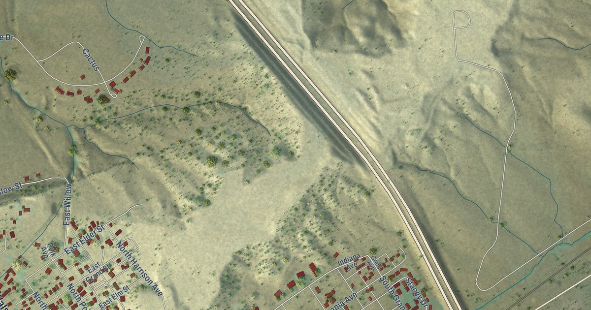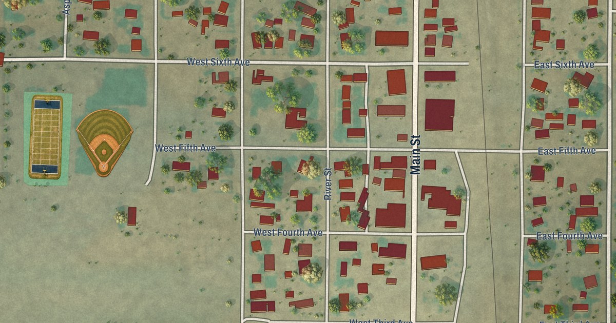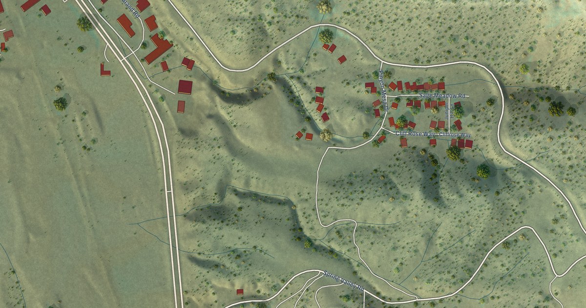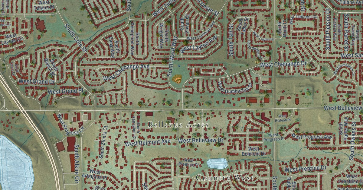
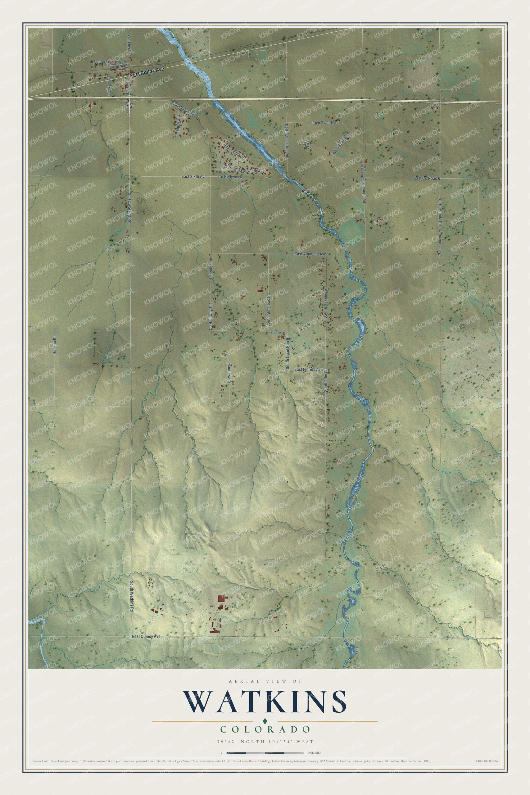
This beautifully detailed map of Watkins, Colorado was created in 2026 using aerial imagery combined with modern topographical, census, street and landmark data. It's a modern aerial view of Watkins in Arapahoe County, Colorado, that combines modern data with a vintage aesthetic. The roads feature printed names, and if you look closely you can find your exact house accurately shown in its correct location.
Explore an aerial view of Watkins, Colorado
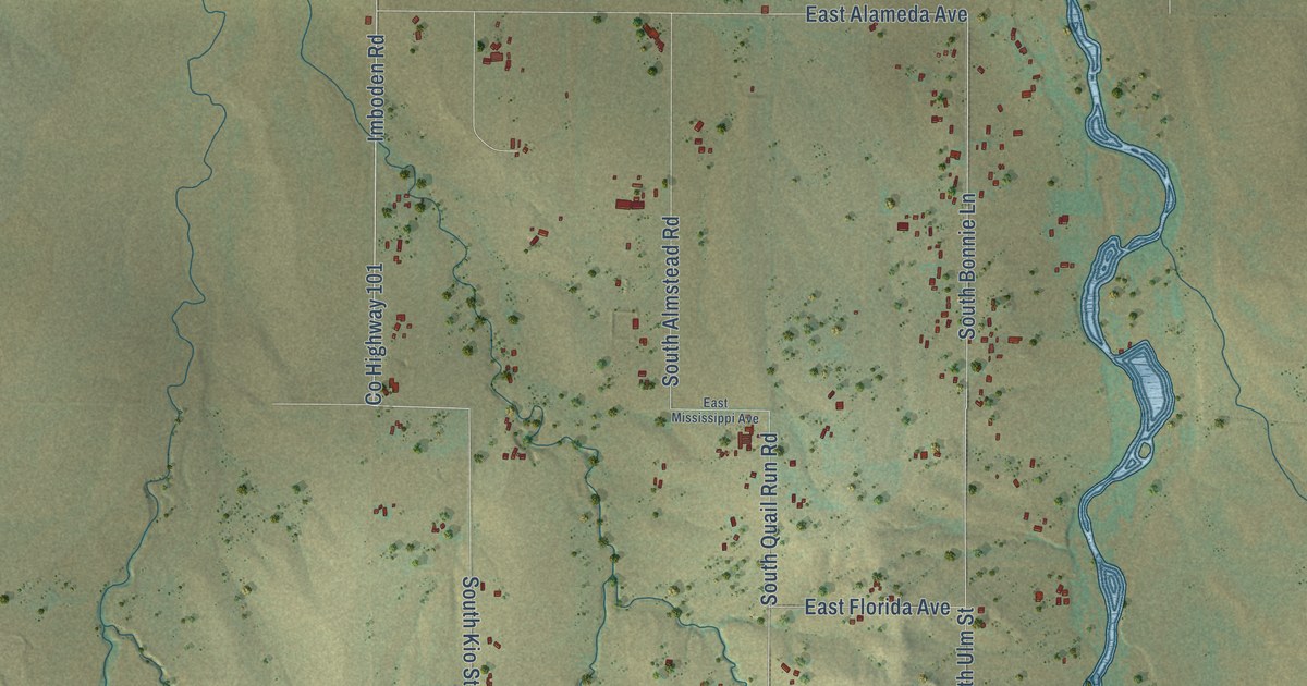
On this map you'll find East Colfax Avenue, South Bonnie Lane, East Co Road 6, West Fork Way, South Watkins Road, North Watkins Road, North Manila Road, East Sixth Avenue, East Quincy Avenue, Imboden Road, South Ulm Street, Co Highway 101, and more. Each red shape is a building, so zoom in on the preview and look for yours.
Watkins has a story worth telling. Watkins was the post office name for Box Elder, a small Kansas Pacific railroad station on Box Elder Creek, 23 miles east of Denver and 350 feet higher than the city. The rolling prairie around it was given over wholly to raising cattle and sheep. That's from the Crofutt Grip-Sack Guide of Colorado.
Watkins is a community in Arapahoe County. The Census Bureau counted 682 people here in 2020.
Take a closer look at the Watkins map
Names on this map
These names are printed on this map.
Streets and roads: East Colfax Avenue, South Bonnie Lane, East County Road 6, West Fork Way, South Watkins Road, North Watkins Road, North Manila Road, East Sixth Avenue, East Quincy Avenue, Imboden Road, South Ulm Street, County Highway 101.
More street names, A to Z
Cavanaugh Road, County Highway 6, Denver Avenue, East Alameda Avenue, East Florida Avenue, East Front Street North, East Mississippi Avenue, East Seventh Avenue, East Tenth Drive, East Twelfth Place, Eclipse Street, Hudson Road, Kio Court, North Cavanaugh Road, North Lessig Street, North Quail Run Road, Second Street, Snow Lake Court, South Almstead Road, South Kio Street, South Manila Road, South Quail Run Road, Watkins Road.
See it on a wall
The Watkins map as a framed print. Swipe for more.


Created by KNOWOL in 2026. The buildings are small red shapes, the roads carry their printed names, and shaded relief shows the shape of the land. The title panel reads "AERIAL VIEW OF WATKINS, COLORADO" with 39°42' NORTH 104°34' WEST.
It looks right in a kitchen, an office or a den, and it's a gift for anyone who grew up in Watkins or moved away. Open the preview and find your street. See sizes and frames for the Watkins map.