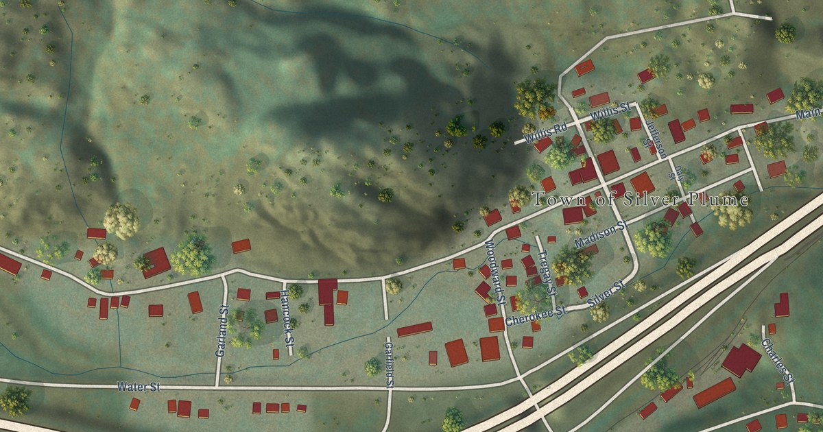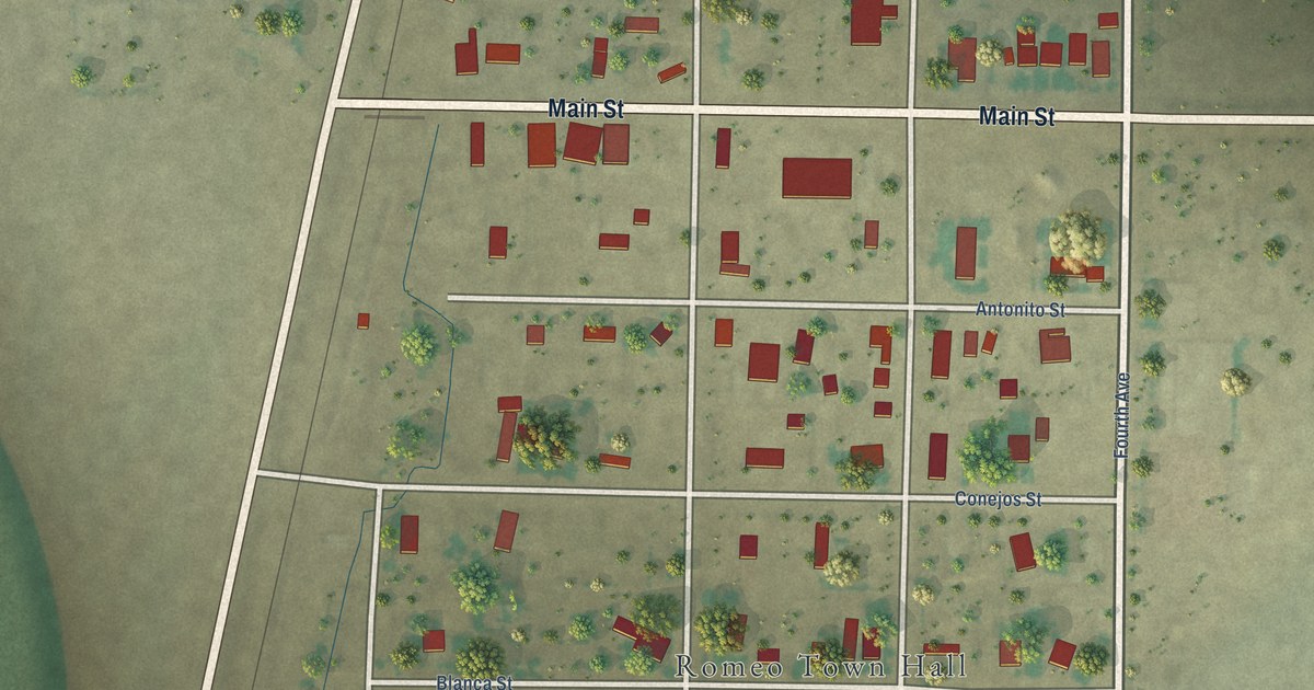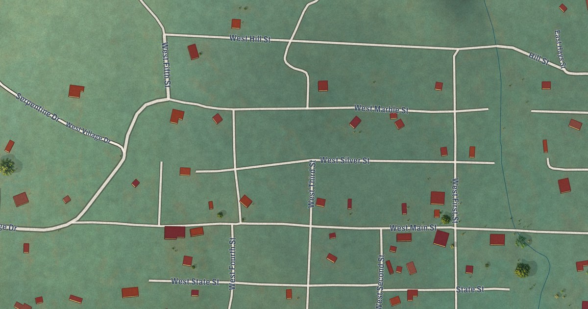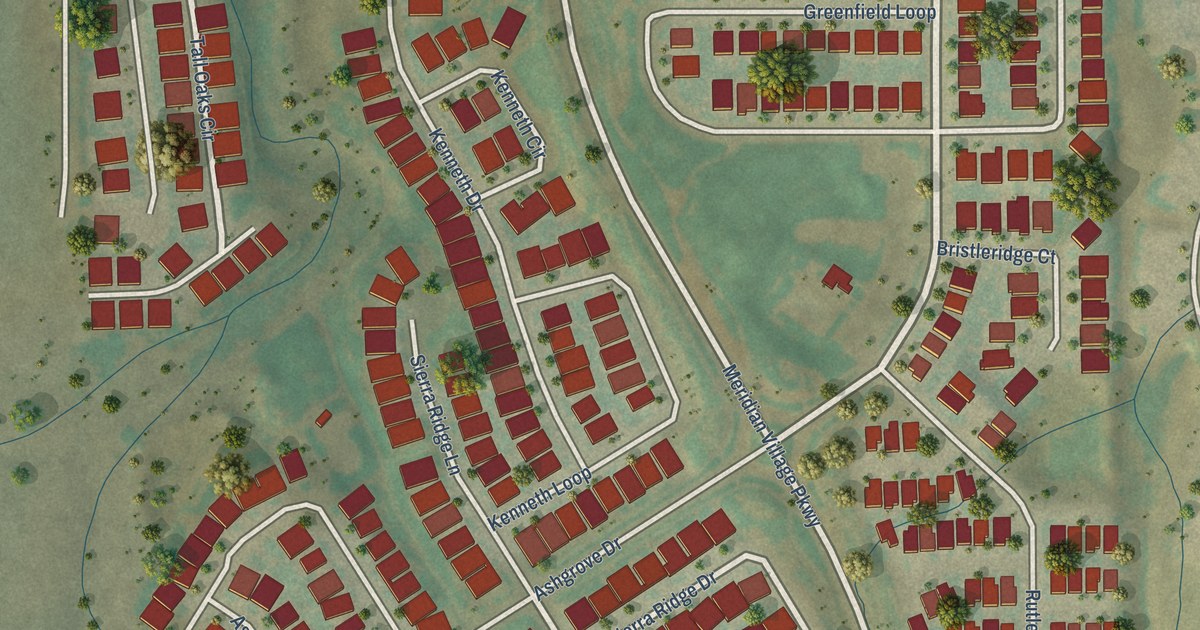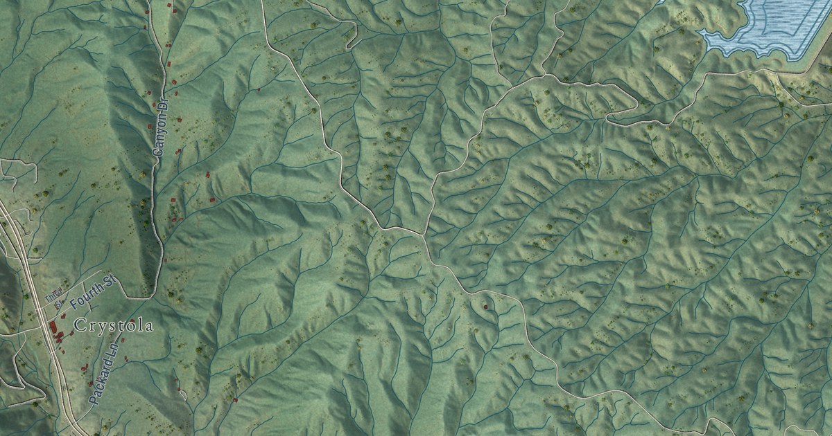
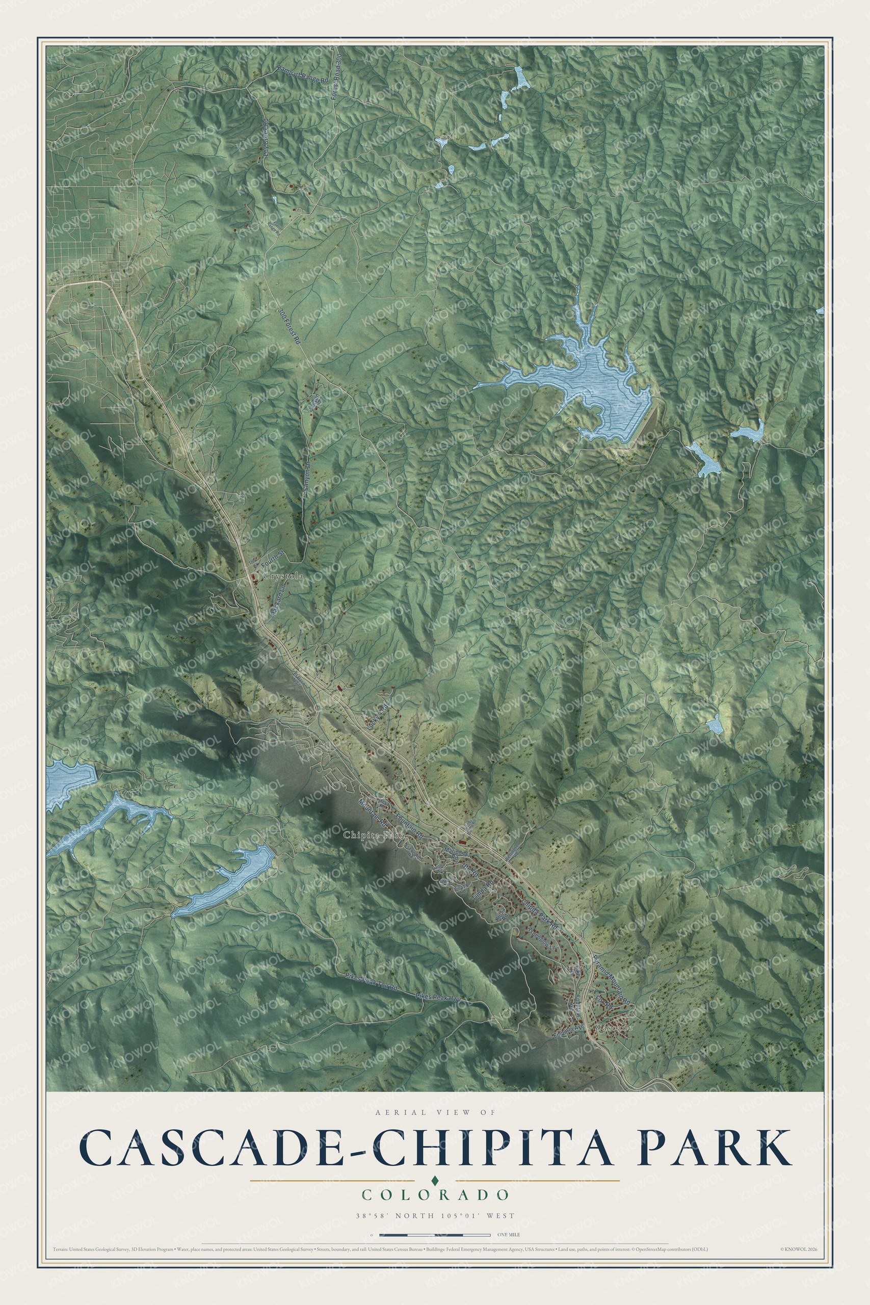
This beautifully detailed map of Cascade-Chipita Park, Colorado was created in 2026 using aerial imagery combined with modern topographical, census, street and landmark data. It's a modern aerial view of Cascade-Chipita Park in El Paso County, Colorado, that combines modern data with a vintage aesthetic. The roads feature printed names, and if you look closely you can find your exact house accurately shown in its correct location.
Explore an aerial view of Cascade-Chipita Park, Colorado
On this map you'll find Cascade, Chipita Park, Crystola, 300 Forest Road, Chipita Park Road, Forest Road 300, Mountain Road, Rampart Range Road, Pikes Peak Highway, Pikes Peak Toll Road, Loy Creek Road, Fourth Street, and more. Each red shape is a building, so zoom in on the preview and look for yours.
Every town has a first chapter, and Cascade-Chipita Park is no exception. Three wealthy Marriott sisters from New York settled in Ute Pass in the early 1880s and filed claims to most of Cascade Canon. When the Colorado Midland Railroad arrived in 1887, the eldest, Eliza Marriott Hewlett, opened her Eastholme boarding house and served as secretary of the Cascade Town and Improvement Company, unusual for a woman then. In 1888 she and the town company paid toward a carriage road up Pikes Peak, and riders dashed from the morning train for a seat. That's from the National Register of Historic Places.
Cascade-Chipita Park is a community in El Paso County. The Census Bureau counted 1,628 people here in 2020.
Take a closer look at the Cascade-Chipita Park map
Names on this map
These names are printed on this map.
Places: Cascade, Chipita Park and Crystola.
Streets and roads: 300 Forest Road, Chipita Park Road, Forest Road 300, Mountain Road, Rampart Range Road, Pikes Peak Highway, Pikes Peak Toll Road, Loy Creek Road, Fourth Street, Canyon Drive, Ute Road, Fountain Road.
More street names, A to Z
Aspenglow Lane, Canyon Terrace, El Paso Trail, Emporia Avenue, Escondido Road, Fountain Avenue, Fox Road, Front Range Road, Kulsa Road, Lucky 4 Road, Mariposa Road, Maveta Road, Mesa Road, Packard Lane, Paona Street, Picabo Road, Pike Road, Pyramid Mountain Road, Sand Gulch Road, Third Street, Timpa Road, Wellington Road.
See it on a wall
The Cascade-Chipita Park map as a framed print. Swipe for more.


Created by KNOWOL in 2026. The buildings are small red shapes, the roads carry their printed names, and shaded relief shows the shape of the land. The title panel reads "AERIAL VIEW OF CASCADE-CHIPITA PARK, COLORADO" with 38°58' NORTH 105°01' WEST.
Hang it in the hallway, the office or the cabin, or give it to someone who left Cascade-Chipita Park and still calls it home. Open the preview and look for a street you know. See sizes and frames for the Cascade-Chipita Park map.