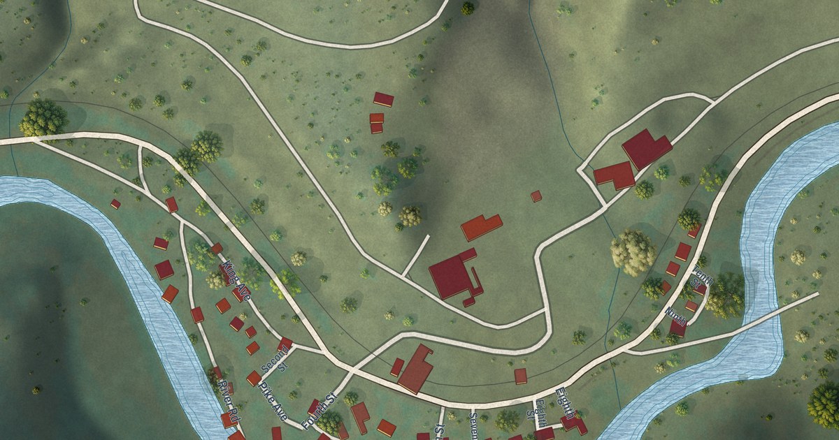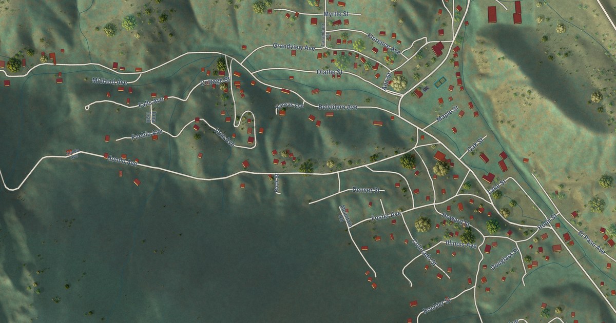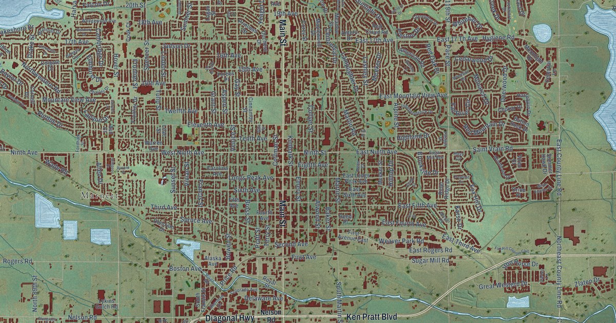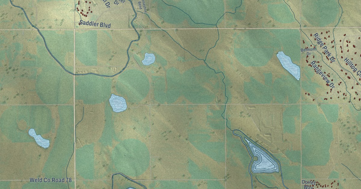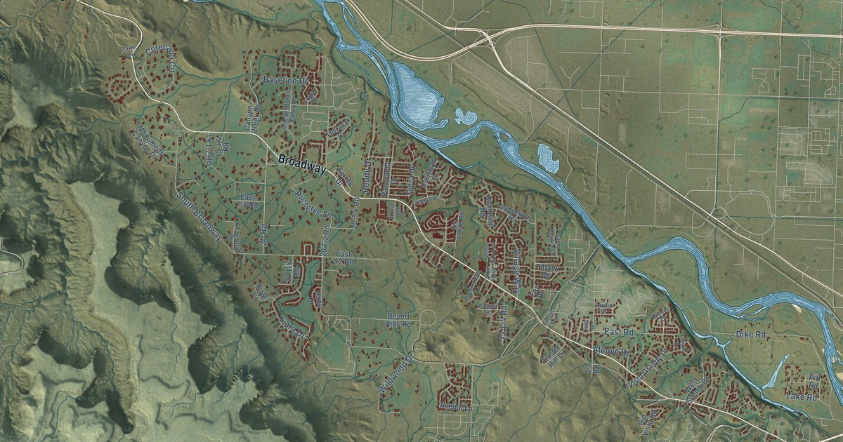
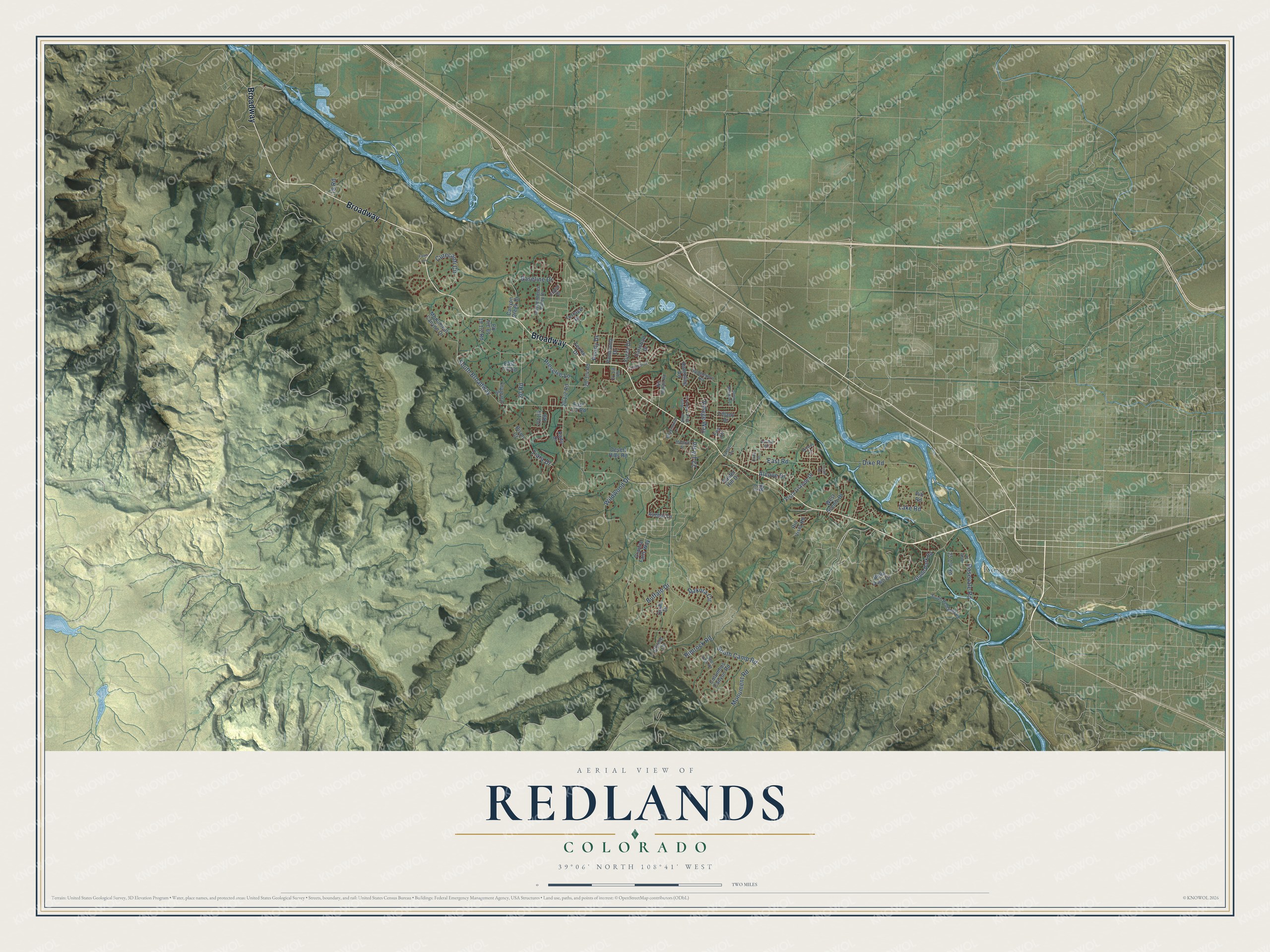
This beautifully detailed map of Redlands, Colorado was created in 2026 using aerial imagery combined with modern topographical, census, street and landmark data. It's a modern aerial view of Redlands in Mesa County, Colorado, that combines modern data with a vintage aesthetic. The roads feature printed names, and if you look closely you can find your exact house accurately shown in its correct location.
Explore an aerial view of Redlands, Colorado
On this map you'll find Rosevale, Broadway, Monument Road, East Road, South Broadway, Dike Road, Curecanti Circle, Tiara Drive, 20 Road, Peony Drive, Village Way, Wildwood Drive, and more. Each red shape is a building, so zoom in on the preview and look for yours.
Redlands has a story worth telling. The Redlands Neighborhood Plan puts it this way: "The Redlands is named for the area’s red soils and spectacular red cliffs and canyons of the Colorado National Monument, which rise as much as 2,000 feet from the floor of the Grand Valley." The Redlands stayed desert rangeland until 1905, when the Redlands Irrigation Company brought in water from the Gunnison River. The first peach orchards there were planted by 1907.
Redlands is a community in Mesa County. The Census Bureau counted 9,061 people here in 2020.
Take a closer look at the Redlands map
Names on this map
These names are printed on this map.
Places: Rosevale.
Streets and roads: Broadway, Monument Road, East Road, South Broadway, Dike Road, Curecanti Circle, Tiara Drive, 20 Road, Peony Drive, Village Way, Wildwood Drive, Rosevale Road.
More street names, A to Z
18 Road, 23 Road, Alcove Drive, Arbor Boulevard, Arriba Drive, Avenal Lane, Baseline Drive, Bella Pago Drive, Bison Court, Buffalo Drive, Canyon Creek Drive, Carlsbad Drive, Chapparal Drive, Chinle Court, Cody Drive, Colonial Drive, Columbus Canyon Road, Dakota Circle, Desert Hills Road, Easter Hill Drive, Fallen Rock Road, Fawn Lane, Ferree Drive, Foy Drive, Glade Park Road, Granite Falls Way, Independence Valley Drive, Kansas Avenue, Lake Road, Mockingbird Lane, Monument Canyon Drive, Mudgett Street, Panorama Drive, Pitt Road, Poplar Court, Preserve Lane, Quail Drive, Rado Drive, Rambling Road, Redd Lane, Rimrock Road, Rio Hondo Road, Rio Vista Road, Saddlehorn Road, Skyway Drive, South Camp Road, South Redlands Road, Sunny Meadow Lane, Tejon Drive, Terrace Drive, Tiffany Drive, Vista Grande Drive, West Arbor Circle, West Scenic Drive, Yucca Drive.
See it on a wall
The Redlands map as a framed print. Swipe for more.


Created by KNOWOL in 2026. The buildings are small red shapes, the roads carry their printed names, and shaded relief shows the shape of the land. The title panel reads "AERIAL VIEW OF REDLANDS, COLORADO" with 39°06' NORTH 108°41' WEST.
It looks right in a kitchen, an office or a den, and it's a gift for anyone who grew up in Redlands or moved away. Open the preview and find your street. See sizes and frames for the Redlands map.