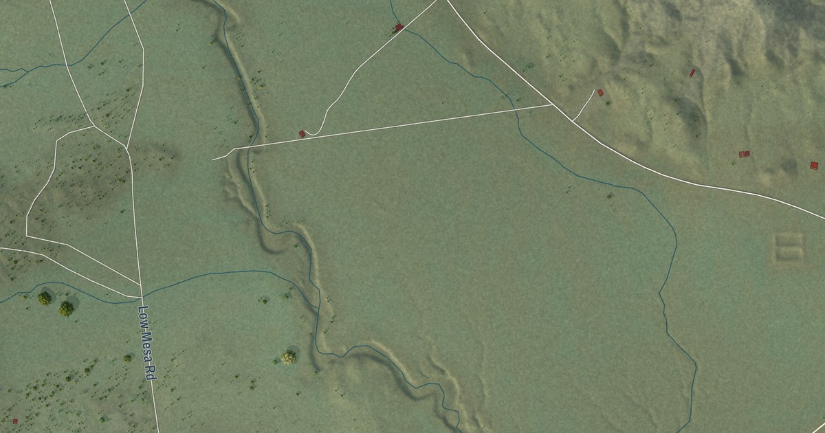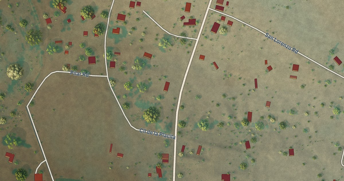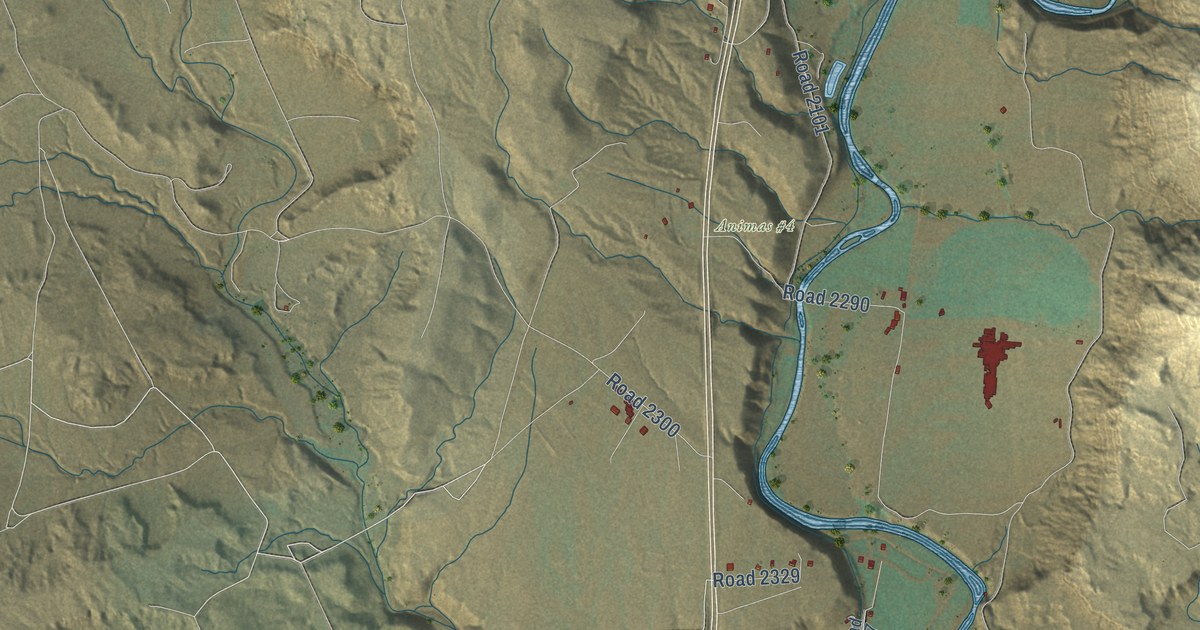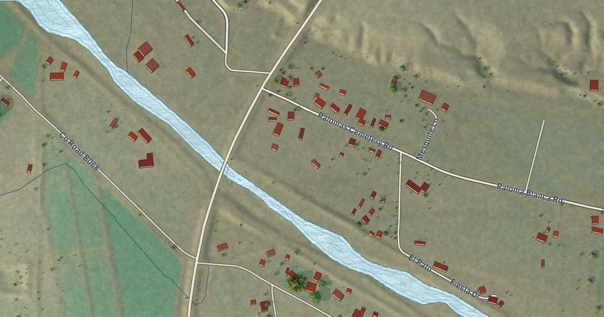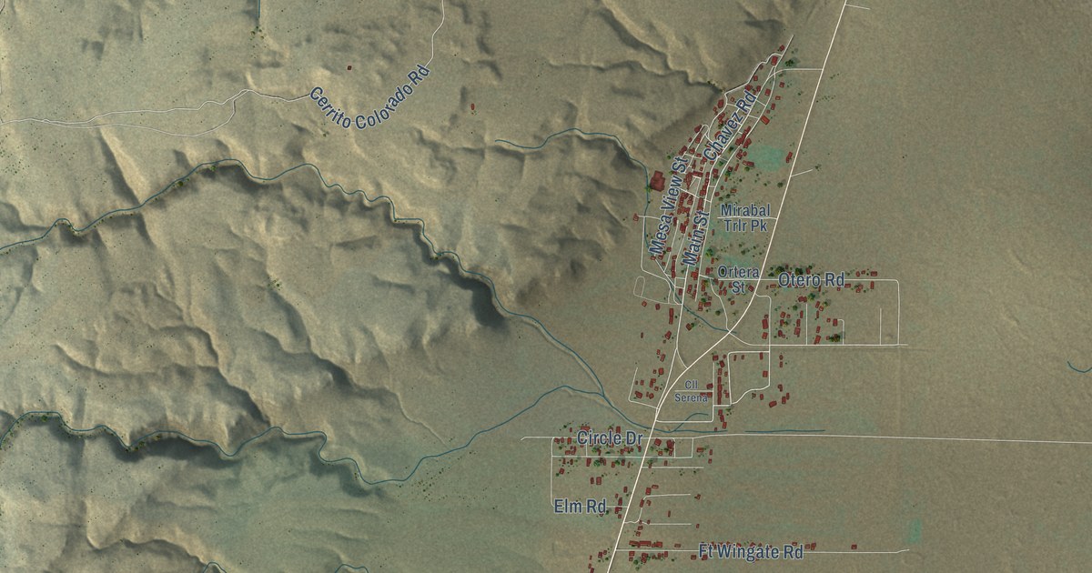
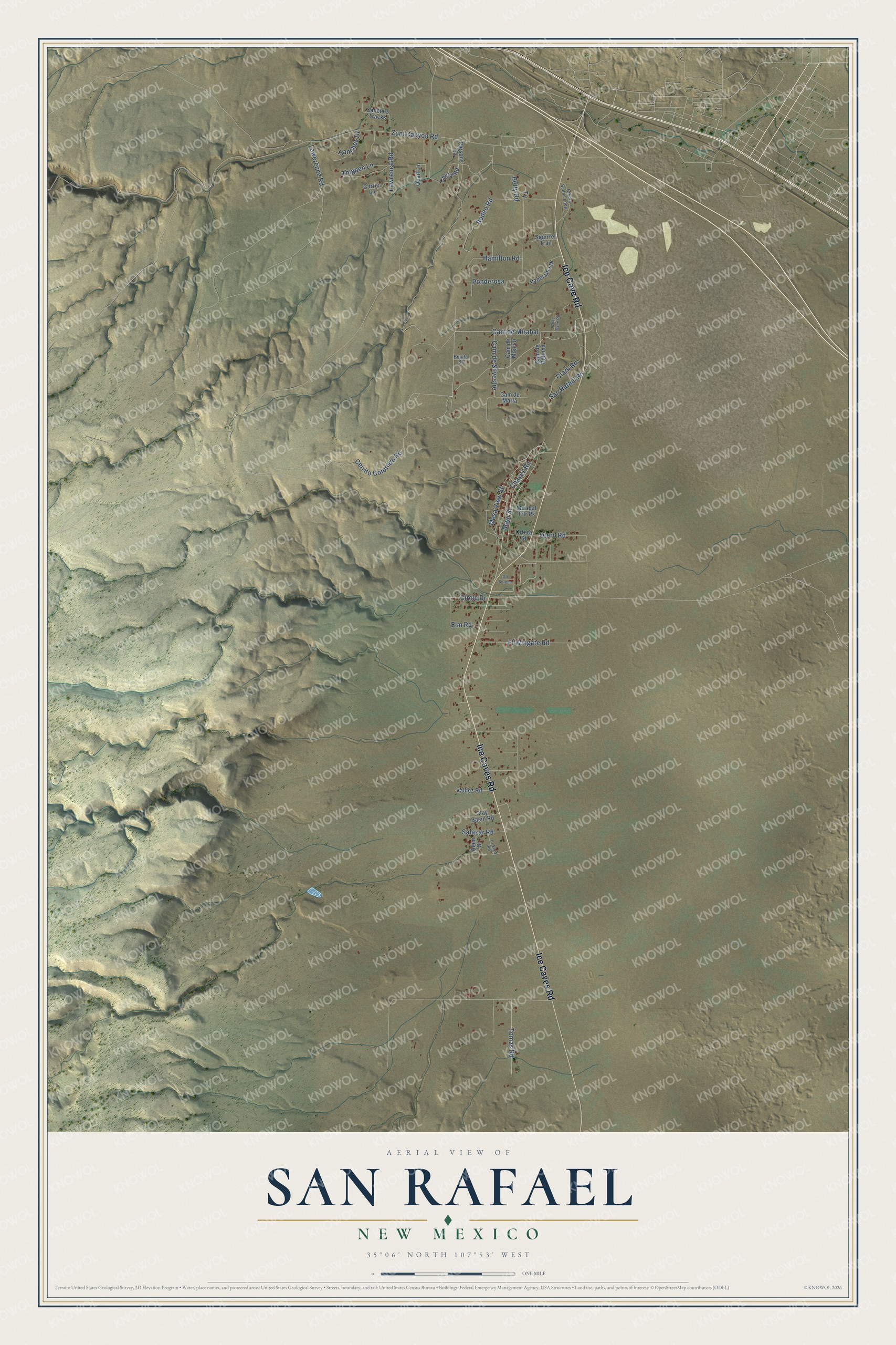
This beautifully detailed map of San Rafael, New Mexico was created in 2026 using aerial imagery combined with modern topographical, census, street and landmark data. It’s a one-of-a-kind view of San Rafael that combines accurate data with a vintage aesthetic. The map shows every building in its true location, many of the roads carry their names, and the shaded topographic relief shows the shape of the land.
Explore an aerial view of San Rafael, New Mexico
On the map you’ll find Cam de Mirabal and Ponderosa, along with Ice Cave Road, Ice Caves Road, Main Street, Chavez Road, Cerrito Colorado Road, Otero Road, San Rafael Road, Betty Road, Hamilton Road, Thigpen Lane, and more. If you look closely you can even find your house accurately drawn in its correct location. Zoom in on the preview to look for yours.
Did You Know?
From the Cibola County NMGenWeb project: "San Rafael was named after Father José Rafael Chávez, a Franciscan priest who came to Ojo del Gallo with the original Hispanic settlers from Seboyeta, in 1863." The settlers came to supply the new Fort Wingate with hay for its horses and adobes and lumber for its buildings. The village took the name San Rafael in 1868, and Father Chávez's gravestone stands in a corner of the Guadalupe Plaza.
Take a closer look at the San Rafael map
Names on this map
These names are printed on this map.
Streets and roads: Ice Cave Road, Ice Caves Road, Main Street, Chavez Road, Cam de Mirabal, Cerrito Colorado Road, Otero Road, San Rafael Road, Betty Road, Hamilton Road, Thigpen Lane, Ponderosa.
More street names, A to Z
Allen Street, Bonita Street, Cam de Belinda, Cam de Maria, Cam de Monico, Cam de Silvestre, Carrie Lane, Cheryl Road, Cibola Sands Loop, Circle Drive, Clark Road, Clay Basin Road, Cll Serena, Coke Oven Road, Elm Road, Ft Wingate Road, La Vega Road, Lawerence Road, Lawrence Road, Mesa View Street, Mirabal Trlr Pk, Ortera Street, Panorama Drive, Parsons Lane, Quail Lane, Rodeo Road, Salazar Road, Sanchez Drive, Sanchez Tracks, Squirrel Trail, Tomas Road, Valdez Road, Zuni Canyon Road.
See it on a wall
The San Rafael map as a framed print. Swipe for more.


This beautifully detailed map of San Rafael makes an attractive addition to your office, library, or den, and it can even be used to teach children the geography and history of the area. It also makes a great gift for anyone who grew up in San Rafael or moved away. When you’re done exploring, click here to get your copy of the San Rafael map.