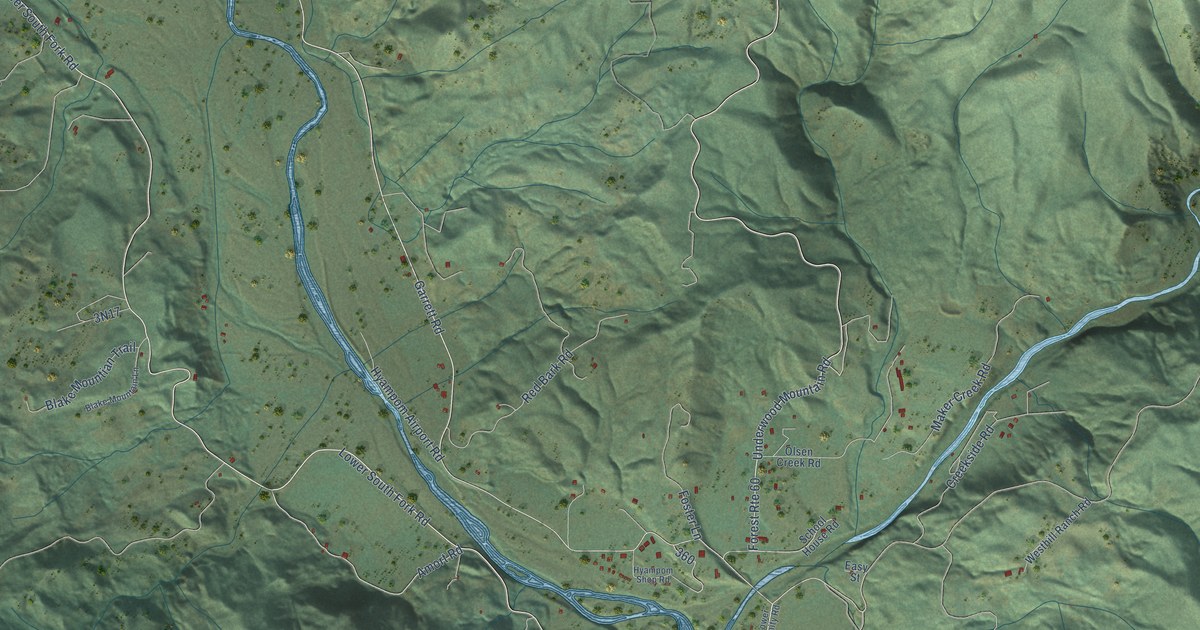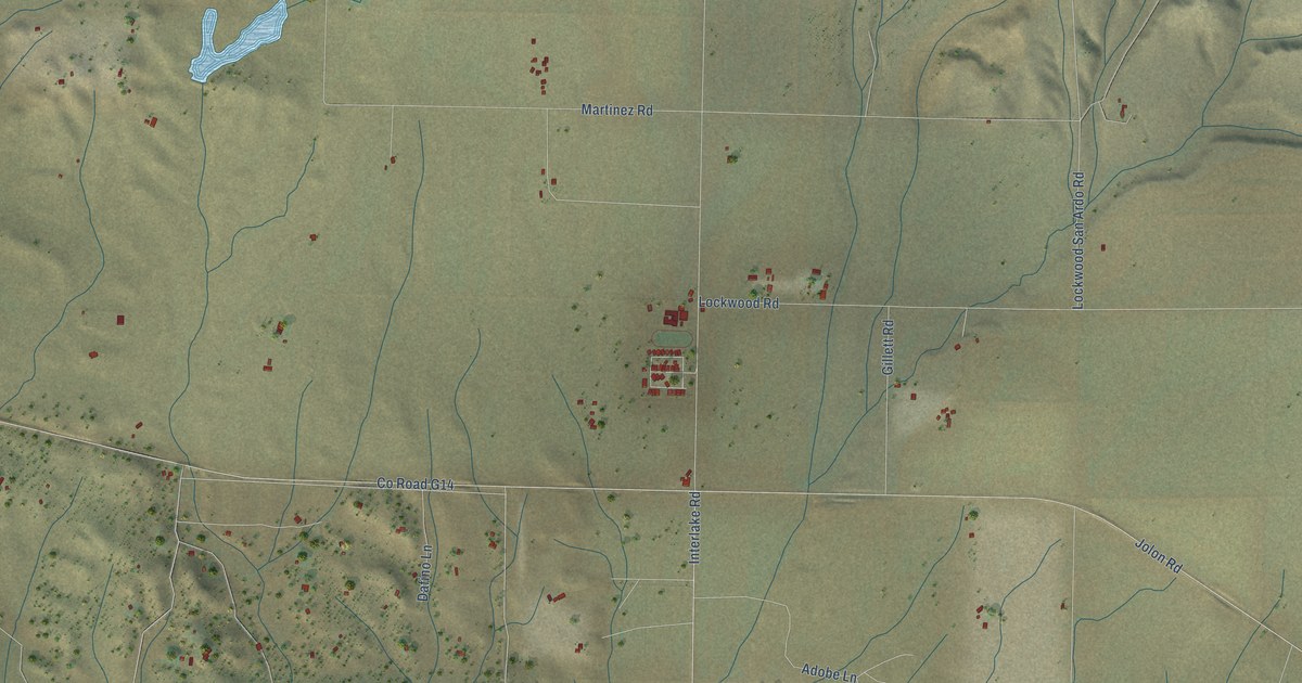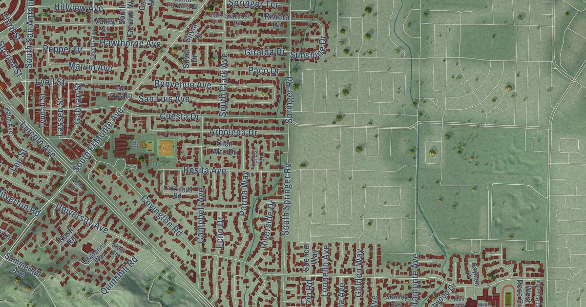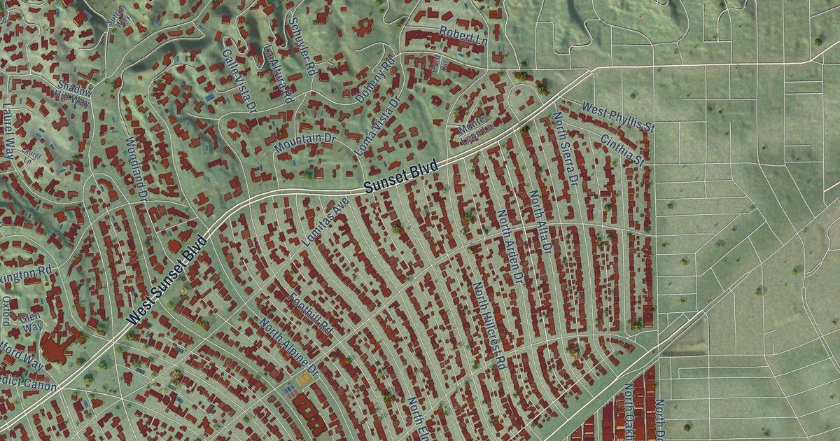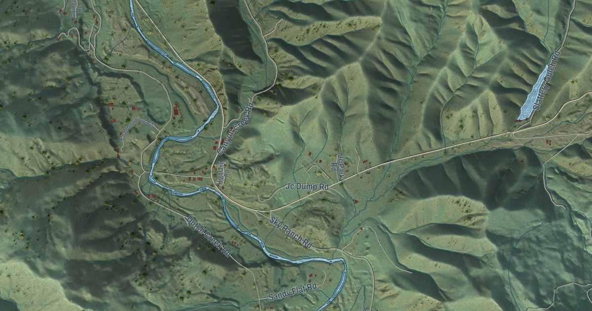
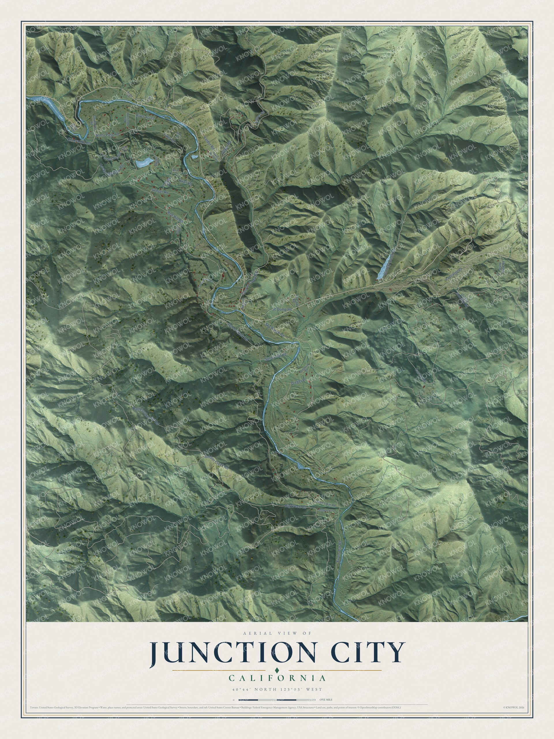
This beautifully detailed map of Junction City, California was created in 2026 using aerial imagery combined with modern topographical, census, street and landmark data. It’s a one-of-a-kind view of Junction City that combines accurate data with a vintage aesthetic. The map shows every building in its true location, many of the roads carry their names, and the shaded topographic relief shows the shape of the land.
Explore an aerial view of Junction City, California
On the map you’ll find Castle Road, Dutch Creek Road, Red Hill Road, Canyon Creek Road, Sky Ranch Road, Big Creek Road, Valdor Road, Rattlesnake Gap Road, Lake Road, Hocker Meadow Road, Upper Road, Soldier Creek Road, and more. If you look closely you can even find your house accurately drawn in its correct location. Zoom in on the preview to look for yours.
Did You Know?
Junction City began in 1851 as Mill Town, a settlement with a sawmill at the mouth of Canyon Creek. In 1889 a free suspension bridge was finished across the Trinity River at Junction City, and in March 1902 the river changed its course there, leaving a bridge standing over dry land. An earlier suspension bridge had gone up across the Trinity at Junction City in 1883. That's from the Trinity County Historical Society.
Take a closer look at the Junction City map
Names on this map
These names are printed on this map.
Streets and roads: Castle Road, Dutch Creek Road, Red Hill Road, Canyon Creek Road, Sky Ranch Road, Big Creek Road, Valdor Road, Rattlesnake Gap Road, Lake Road, Hocker Meadow Road, Upper Road, Soldier Creek Road.
More street names, A to Z
Acorn Lane, Bartlett Road, Bear Springs Road, Berry Lane, Chagdud Gonpa Acc, Chimariko Road, Chimrariko Road, Dreger Place, Dunmovin Road, El Rocko Road, Evan's Bar Road, Evans Bar Road, Forest Svc Road, Freds Vw, Giant View Road, Guinea Road, Highland Road, Jc Dump Road, Jc Park Road, La Grange Road, Lime Point, Lois Lane, Lower Road, Oregon Mountain Road, Park Lane, Power House Road, Quail Road, River Acres, Sandy Flat Road, Senger Road, Slattery Gulch Road, Stillwaters Lane, Wintu Pass Road.
See it on a wall
The Junction City map as a framed print. Swipe for more.


This beautifully detailed map of Junction City makes an attractive addition to your office, library, or den, and it can even be used to teach children the geography and history of the area. It also makes a great gift for anyone with Junction City roots. When you’re done exploring, click here to get your copy of the Junction City map.