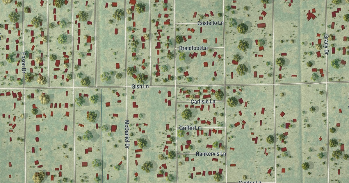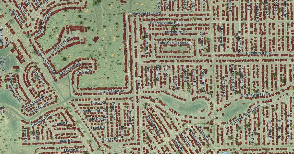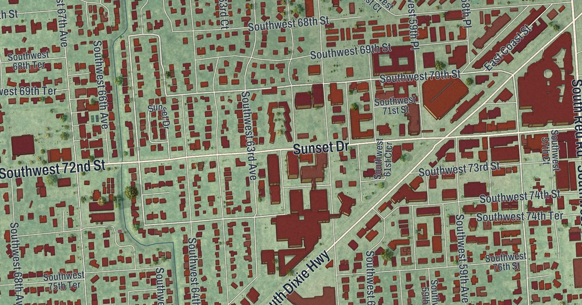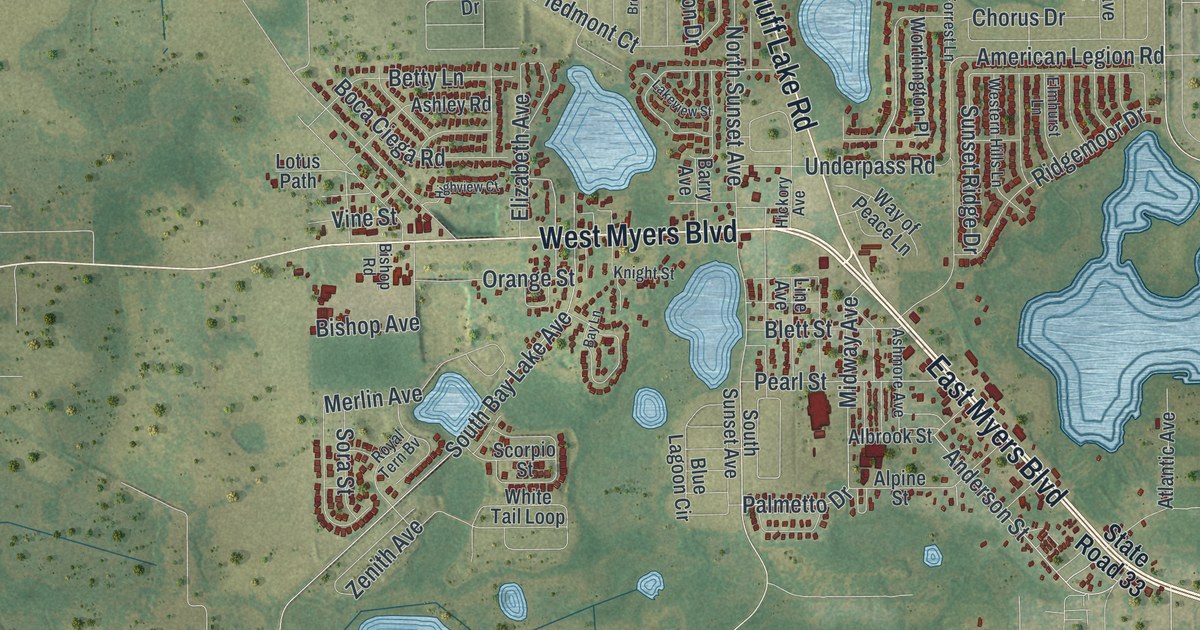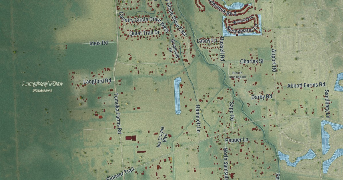
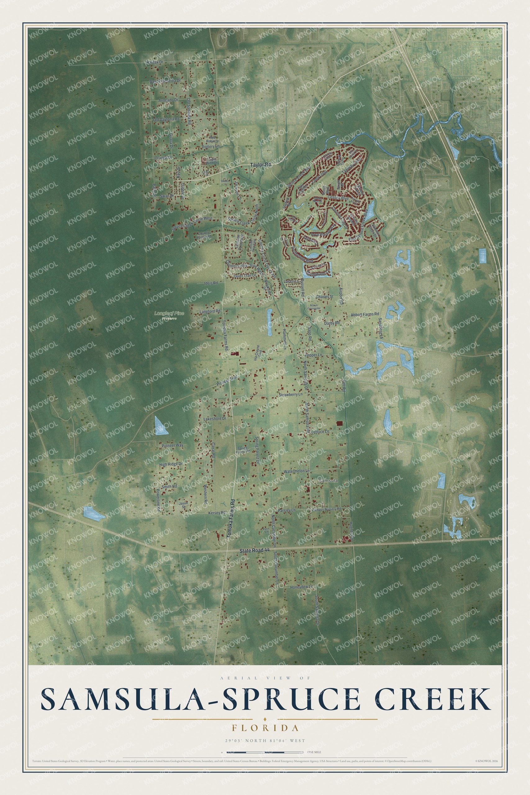
This beautifully detailed map of Samsula-Spruce Creek, Florida was created in 2026 using aerial imagery combined with modern topographical, census, street and landmark data. It's a modern aerial view of Samsula-Spruce Creek in Volusia County, Florida, that combines modern data with a vintage aesthetic. The roads feature printed names, and if you look closely you can find your exact house accurately shown in its correct location.
Explore an aerial view of Samsula-Spruce Creek, Florida
On this map you'll find Samsula, Longleaf Pine Preserve, Taylor Road, State Road 44, Tomoka Farms Road, Spruce Creek Boulevard, South Cucumber Lane, North Cucumber Lane, Parsley Lane, Pioneer Trail, North Samsula Drive, North Samsula Road, and more. Each red shape is a building, so zoom in on the preview and look for yours.
Samsula-Spruce Creek has a story worth telling. Pioneers settled the Spruce Creek area in the early 1880s. The creek's name was on maps as early as 1859, and in 1909 the community formally adopted the Spruce Creek name, when it had a community house, sawmill, church, two cemeteries and a one-room schoolhouse. Their pioneer cemetery is all that remains of that settlement. Eugenia Fair was the schoolteacher, and her husband Andrew was a watchmaker. That's from the Florida Division of Historical Resources.
Samsula-Spruce Creek is a community in Volusia County. The Census Bureau counted 4,877 people here in 2020.
Take a closer look at the Samsula-Spruce Creek map
Names on this map
These names are printed on this map.
Places: Samsula and Longleaf Pine Preserve.
Streets and roads: Taylor Road, State Road 44, Tomoka Farms Road, Spruce Creek Boulevard, South Cucumber Lane, North Cucumber Lane, Parsley Lane, Pioneer Trail, North Samsula Drive, North Samsula Road, East Spruce Creek Boulevard, Palm Drive.
More street names, A to Z
Abbott Farms Road, Airport Road, Avocado Drive, Beech Boulevard, Branch Crossing Road, Brookside Drive, Canal Road, Cessna Boulevard, Charles Street, Country Circle Drive East, Country Circle Drive West, Country Club Drive, Country Farms Road, Darby Road, Guava Drive, Halifax Drive, Hammett Lane, Hawks Nest Drive, High Ridge Drive, Honeydew Lane, Hughes Road, Ideis Road, Ina Crayne Boulevard, Jackson Lane, Jasmine Road, Jason Street, Karl Drive, Kersey Road, Lacey Lane, Lakeshore Drive, Lakeside Drive East, Lakeside Drive West, Langford Road, Lazy Eight Drive, Lettuce Lane, Lindy Loop, Oak Vista Drive, Old Daytona Road, Old Samsula Road, Orange Drive, Pampus Nursery Road, Paso Lane, Pell Road, Pepper Lane, Pioneer Way, Pottery Lane, Powerline Road, Quiet Trail Drive, Red Robin Drive, Royal Birkdale Way, Russell Road, Sandberg Lane, Sapp Road, Seclusion Drive, Shubert Lane, Sky Hawk Court, Smith Road, Southcreek Boulevard, South Samsula Drive, Spring Forest Drive, Spring Forest Road, Springwater Lane, Spruce Creek Circle North, Spruce Creek Circle West, Spruce Creek Glen, Strawberry Lane, Summer Green Drive, Swan Drive, Taxiway Bravo, Taxiway Echo, Taxiway Foxtrot, Taxiway Lima, Taxiway Quebec, Taxiway Sierra, Tom Circle, Tribble Drive, Tropic Wind Drive, Vail View Drive, Watermelon Lane, Waterway Place, Western Road, West Poinsettia Drive, Wright Drive.
See it on a wall
The Samsula-Spruce Creek map as a framed print. Swipe for more.


Created by KNOWOL in 2026. The buildings are small red shapes, the roads carry their printed names, and shaded relief shows the shape of the land. The title panel reads "AERIAL VIEW OF SAMSULA-SPRUCE CREEK, FLORIDA" with 29°03' NORTH 81°04' WEST.
It looks right in a kitchen, an office or a den, and it's a gift for anyone who grew up in Samsula-Spruce Creek or moved away. Open the preview and find your street. See sizes and frames for the Samsula-Spruce Creek map.