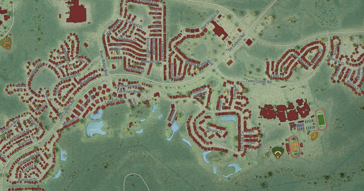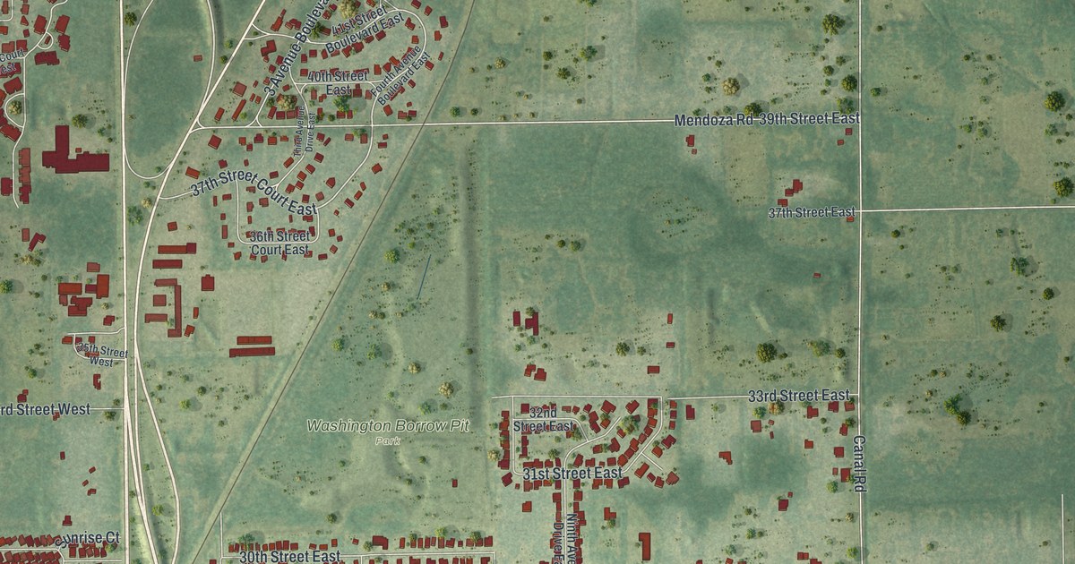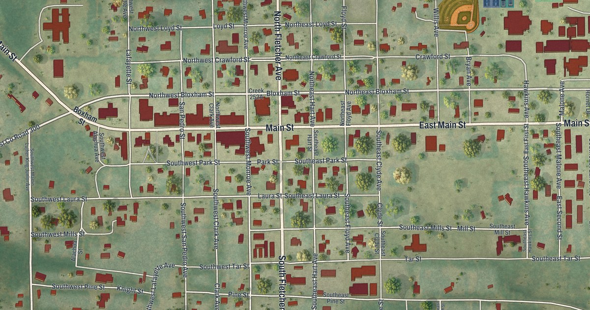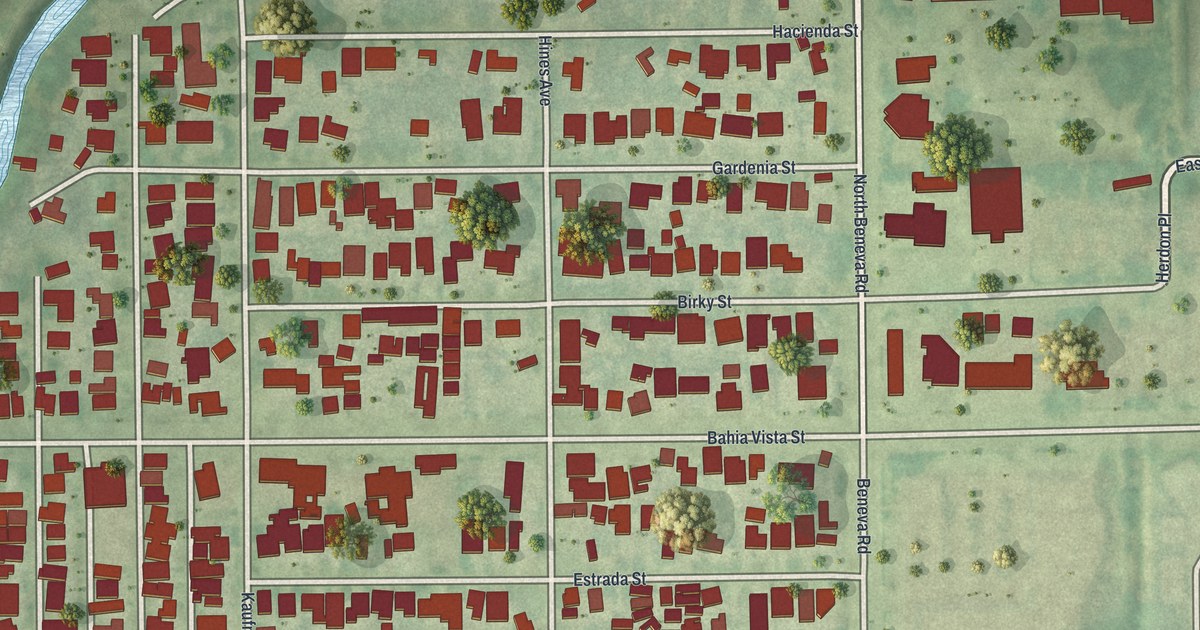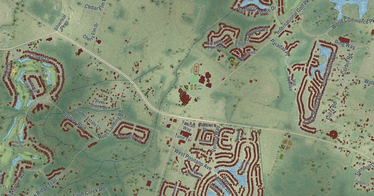
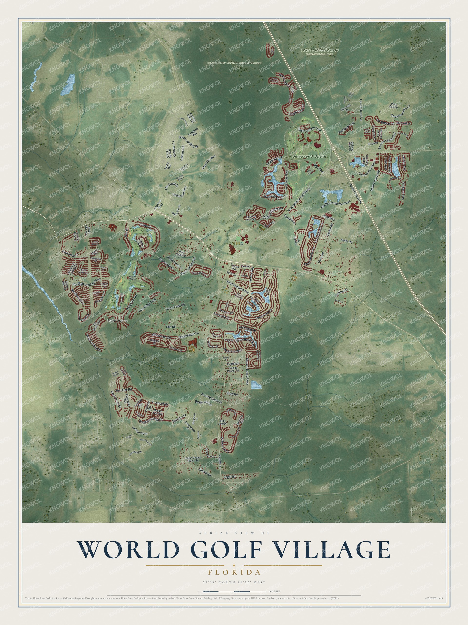
This beautifully detailed map of World Golf Village, Florida was created in 2026 using aerial imagery combined with modern topographical, census, street and landmark data. It's a modern aerial view of World Golf Village in St. Johns County, Florida, that combines modern data with a vintage aesthetic. The roads feature printed names, and if you look closely you can find your exact house accurately shown in its correct location.
Explore an aerial view of World Golf Village, Florida
On this map you'll find Saint Johns, Sylvan West Conservation Easement, Twelve Mile Swamp Conservation Area, Slammer & Squire, Yorkshire Drive, West Positano Avenue, Oakgrove Avenue, Heritage Landing Parkway, Scaff Road, Pacetti Road, Wgv Boulevard, International Golf Parkway, and more. Each red shape is a building, so zoom in on the preview and look for yours.
World Golf Village has a story worth telling. King & Bear at World Golf Village was the only golf course that Arnold Palmer and Jack Nicklaus designed together. The two legends opened it on November 15, 2000, and in a 2001 match there Palmer shot his age, a 71, while Nicklaus shot a 75. The course took its name from their nicknames, The King for Palmer and the Golden Bear for Nicklaus. That's from the Nicklaus Design.
World Golf Village is a community in St. Johns County. The Census Bureau counted 22,117 people here in 2020.
Take a closer look at the World Golf Village map
Names on this map
These names are printed on this map.
Places: Saint Johns, Sylvan West Conservation Easement, Twelve Mile Swamp Conservation Area and Slammer & Squire.
Streets and roads: Yorkshire Drive, West Positano Avenue, Oakgrove Avenue, Heritage Landing Parkway, Scaff Road, Pacetti Road, Wgv Boulevard, International Golf Parkway, Trailmark Drive, South Francis Road, Porta Rosa Circle, Registry Boulevard.
More street names, A to Z
Allapattah Avenue, Amalfi Court, Amberwood Drive, Applejack Drive, Archstone Way, Ardmore Street, Ash Breeze Cv, Aspinwall Parkway, Back Creek Drive, Bannon Lakes Boulevard, Barrington Circle, Blackbird Lane, Blind Oak Circle, Bloomfield Way, Bluejack Lane, Boat Landing Drive, Bostwick Circle, Brandon Lakes Drive, Broken Gate Drive, Brookfall Drive, Buck Run Way, Capulet Drive, Carolyn Lane, Casa Sevilla Avenue, Castle Pines Circle, Cedar Elm Way, Cedar Preserve Lane, Cedar Stone Way, Center Place Way, Cherry Elm Drive, Church Road, Citara Court, Cloverbank Road, Colorado Springs Way, Commerce Lake Drive, Copperhead Circle, Corbin Road, Corral Circle, Country Fern Drive, Courtney Vista Drive, Crest Street, Crown Drive, Curry Road, Den Street, Dolcetto Drive, Dottie Lane, Dovetail Circle, Duran Drive, Eagle Moon Lake Drive, East Positano Avenue, Edge of Woods Road, Elm Creek Drive, Falcon Quest Lane, Fallen Oak Trail, Farm Creek Road, Farmfield Drive, Ferndale Way, Firefly Trce, Flowers Street, Fremont Avenue, Goldcrest Way, Goldenrod Drive, Golfway West Drive, Gracewood Lane, Gran Lake Drive, Haas Avenue, Heather Court, Hyacinth Street, Indian Branch Ranch Road, Inverness Drive, Irish Rose Lane, King and Bear Drive, Kirkside Avenue, Lake Bridge Road, Laterra Links Circle, Latrobe Avenue, Legendary Drive, Mackenzie Circle, Mandarin Terrace, Meadowlark Lane, Mercutio Lane, Mosaic Park Avenue, Nochaway Drive, North Francis Road, North Legacy Trail, Oak Grove Avenue, Oaklawn Court, Oak Ridge Trail, Orchard Lane, Palazzo Circle, Paradas Place, Paradise Pond Road, Parkland Trail, Pepperpike Way, Pine Creek Drive, Pinehurst Pointe Drive, Pointed Creek Drive, Porto Cristo Avenue, Ring Way, Riva del Garda Way, River Mist Drive, Rivers Own Road, Robin Tree Lane, Royal Pines Parkway, Rues Landing Road, Rustic Mill Drive, Samara Lakes Parkway, Scarlet Rose Lane, Seasons Court, Shelmore Avenue, Silo Road, Silver Glen Avenue, Silver Landing Drive, Silverleaf Parkway, Silver Lily Way, Sluder Estate Lane, South Legacy Trail, South Trapani Drive, Split Oak Road, Spoonbill Circle, Stanley Drive, Steamboat Landing Drive, Straw Pond Way, Sugar Loaf Lane, Swallowtail Lane, Tawny Marsh Court, Terracina Drive, Three Forks Court, Toscana Lane, Towerview Drive, Trout Creek Court, Truman Pacetti Road, Turin Terrace, Turnbull Drive, Tuscan Way, Varner Way, Verona Way, Via Sonrisa, Vogel Road, Weathered Edge Drive, Wekiva Way, Westcott Parkway, West Town Place, Whistling Run, White Rabbit Run, Willow Lake Drive, Wolfe Road, World Commerce Parkway, Wynfield Circle.
See it on a wall
The World Golf Village map as a framed print. Swipe for more.


Created by KNOWOL in 2026. The buildings are small red shapes, the roads carry their printed names, and shaded relief shows the shape of the land. The title panel reads "AERIAL VIEW OF WORLD GOLF VILLAGE, FLORIDA" with 29°58' NORTH 81°30' WEST.
It looks right in a kitchen, an office or a den, and it's a gift for anyone who grew up in World Golf Village or moved away. Open the preview and find your street. See sizes and frames for the World Golf Village map.