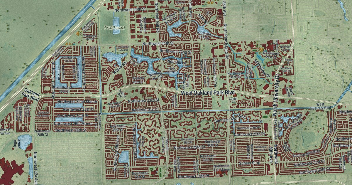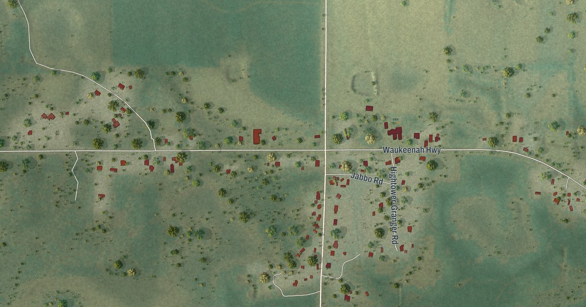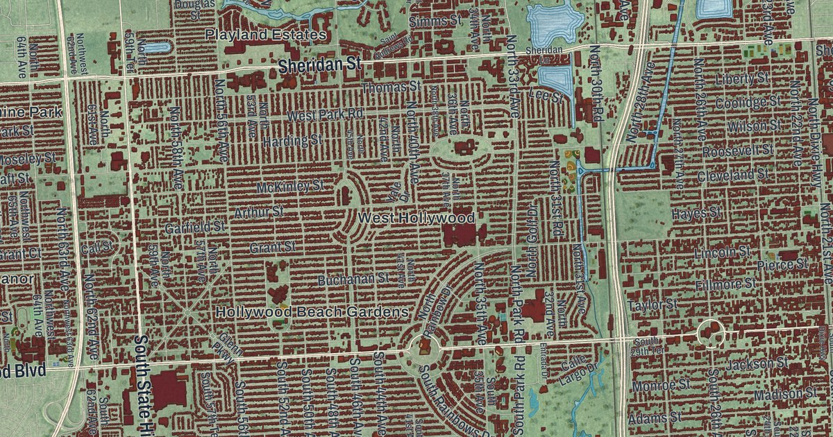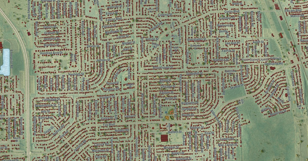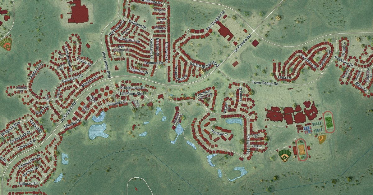
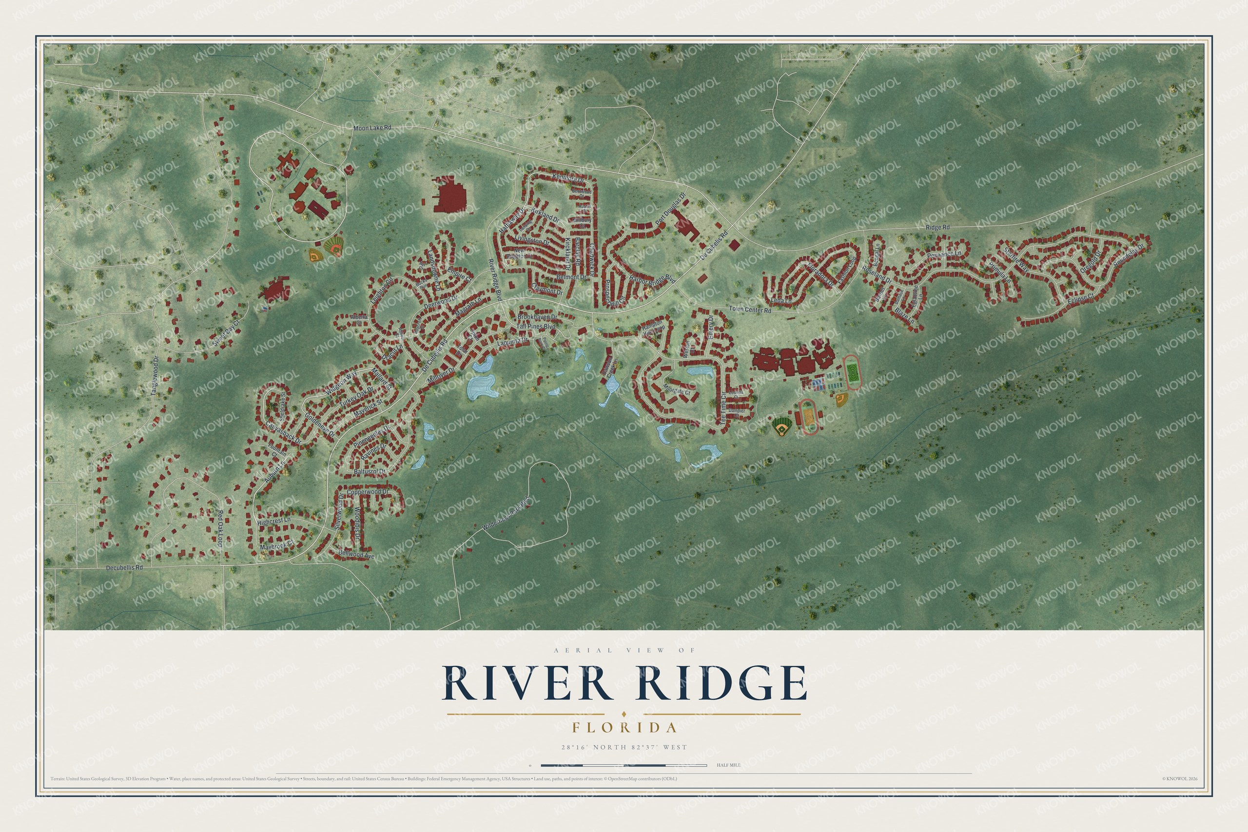
This beautifully detailed map of River Ridge, Florida was created in 2026 using aerial imagery combined with modern topographical, census, street and landmark data. It's a modern aerial view of River Ridge in Pasco County, Florida, that combines modern data with a vintage aesthetic. The roads feature printed names, and if you look closely you can find your exact house accurately shown in its correct location.
Explore an aerial view of River Ridge, Florida
On this map you'll find De Cubellis Road, De Cubelis Road, Auburn Lane, Mallard Street, Hathaway Drive, Widgeon Way, Kenmore Drive, Canvasback Drive, Tall Pines Boulevard, Kirkland Drive, Moon Lake Road, Tanglewood Drive, and more. Each red shape is a building, so zoom in on the preview and look for yours.
River Ridge is a community in Pasco County. The Census Bureau counted 5,107 people here in 2020. River Ridge sits about 2 miles southwest of Moon Lake, 4 miles east of New Port Richey East and 4 miles southeast of Jasmine Estates. The map prints the town name in its title panel, with the coordinates below it.
Take a closer look at the River Ridge map
Names on this map
These names are printed on this map.
Streets and roads: De Cubellis Road, De Cubelis Road, Auburn Lane, Mallard Street, Hathaway Drive, Widgeon Way, Kenmore Drive, Canvasback Drive, Tall Pines Boulevard, Kirkland Drive, Moon Lake Road, Tanglewood Drive.
More street names, A to Z
Abbott Court, Alberta Court, Austin Court, Ayr Court, Baltusrol Drive, Barclay Road, Bellwood Avenue, Belmont Drive, Bengal Lane, Bentwood Court, Blaze Lane, Brookhaven Drive, Bucks Run, Burnet Lane, Chadwick Drive, Claymont Drive, Copperwood Drive, Damask Lane, Dampier Court, Dawson Creek Lane, Decubellis Road, Deerwood Drive, Dracut Lane, Eclipse Court, Eglantine Lane, Emery Drive, Empire Court, Fashion Loop, Floradora Drive, Fountain Court, Goldeneye Drive, Hampton Hills Loop, Harbor Bridge Boulevard, Highcrest Lane, Kirckland Drive, Landsdowne Lane, Lansing Drive, Laquinta Drive, Leda Lane, Leighton Circle, Livingston Drive, Lounds Court, Magrath Lane, Maverick Street, Maybrook Court, Millbury Court, Millriver Drive, Moorgate Court, New Brighton Court, Oregold Drive, Penzance Lane, Pineneedles Drive, Piping Rock Court, Port Douglas Drive, Primula Lane, Prospect Hill Circle, Ravines Drive, Red Oak Loop, Ridge Road, River Ridge Boulevard, Roseland Drive, Roundelay Drive, Roycroft Drive, Sheldrake Street, Silverwood Drive, Starfire Way, Sweet Bay Court, Tee Time Circle, Tolar Drive, Town Center Road, Turkey Oak Drive, Upton Court, Weston Court, Wilderness Park Boulevard, Woodibis Drive.
See it on a wall
The River Ridge map as a framed print. Swipe for more.


Created by KNOWOL in 2026. The buildings are small red shapes, the roads carry their printed names, and shaded relief shows the shape of the land. The title panel reads "AERIAL VIEW OF RIVER RIDGE, FLORIDA" with 28°16' NORTH 82°37' WEST.
It looks right in a kitchen, an office or a den, and it's a gift for anyone who grew up in River Ridge or moved away. Open the preview and find your street. See sizes and frames for the River Ridge map.