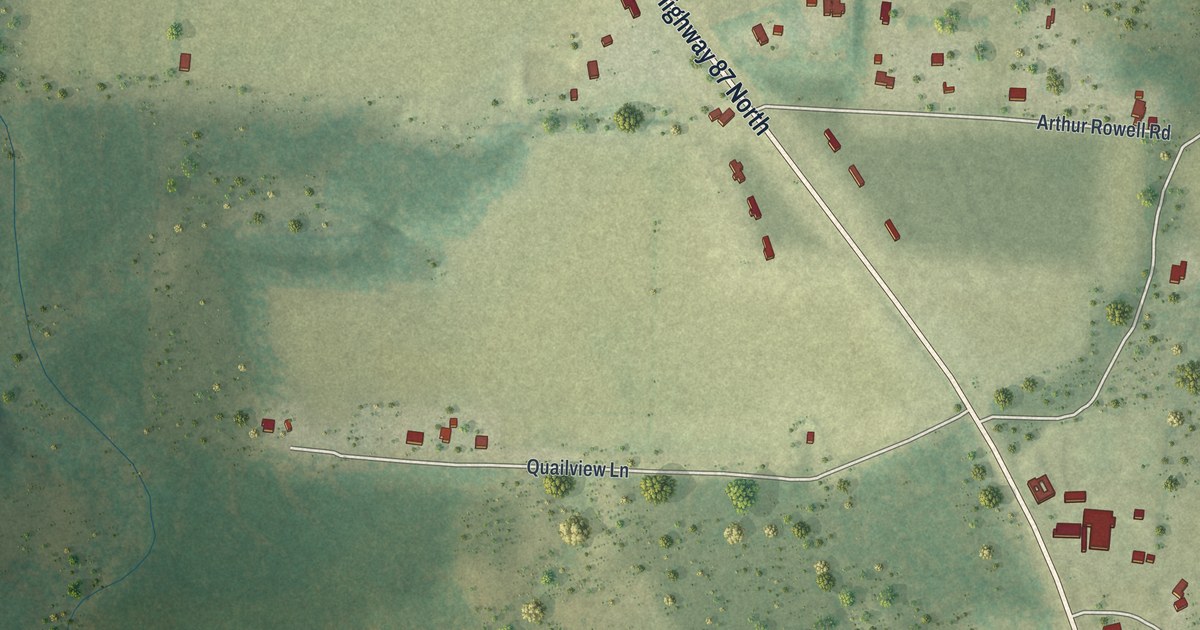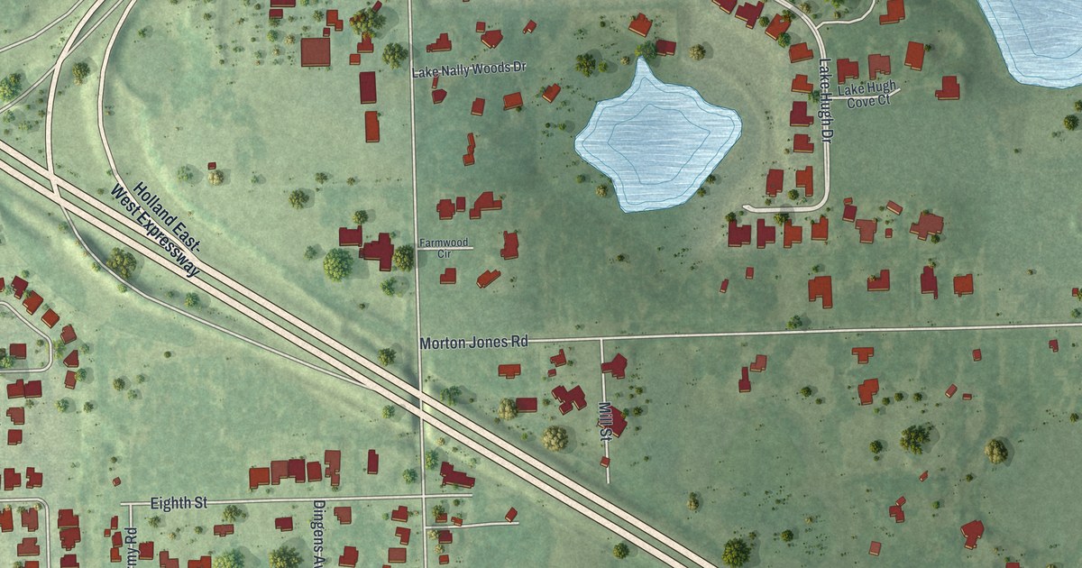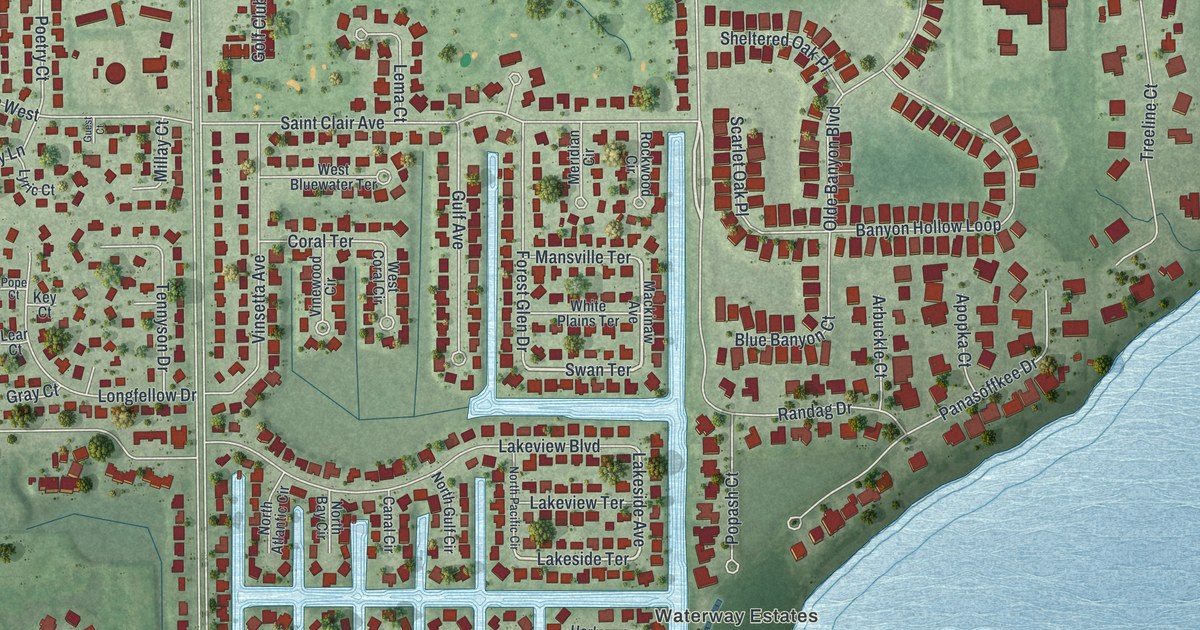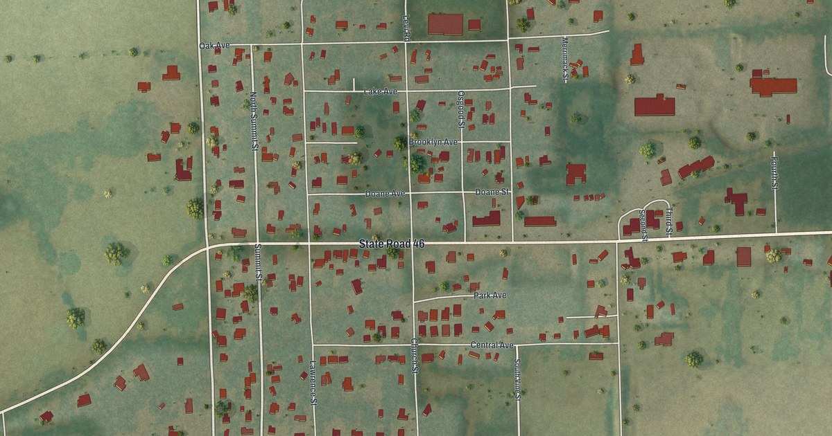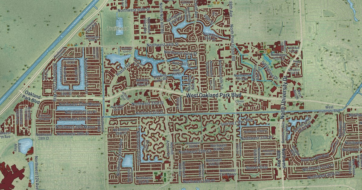
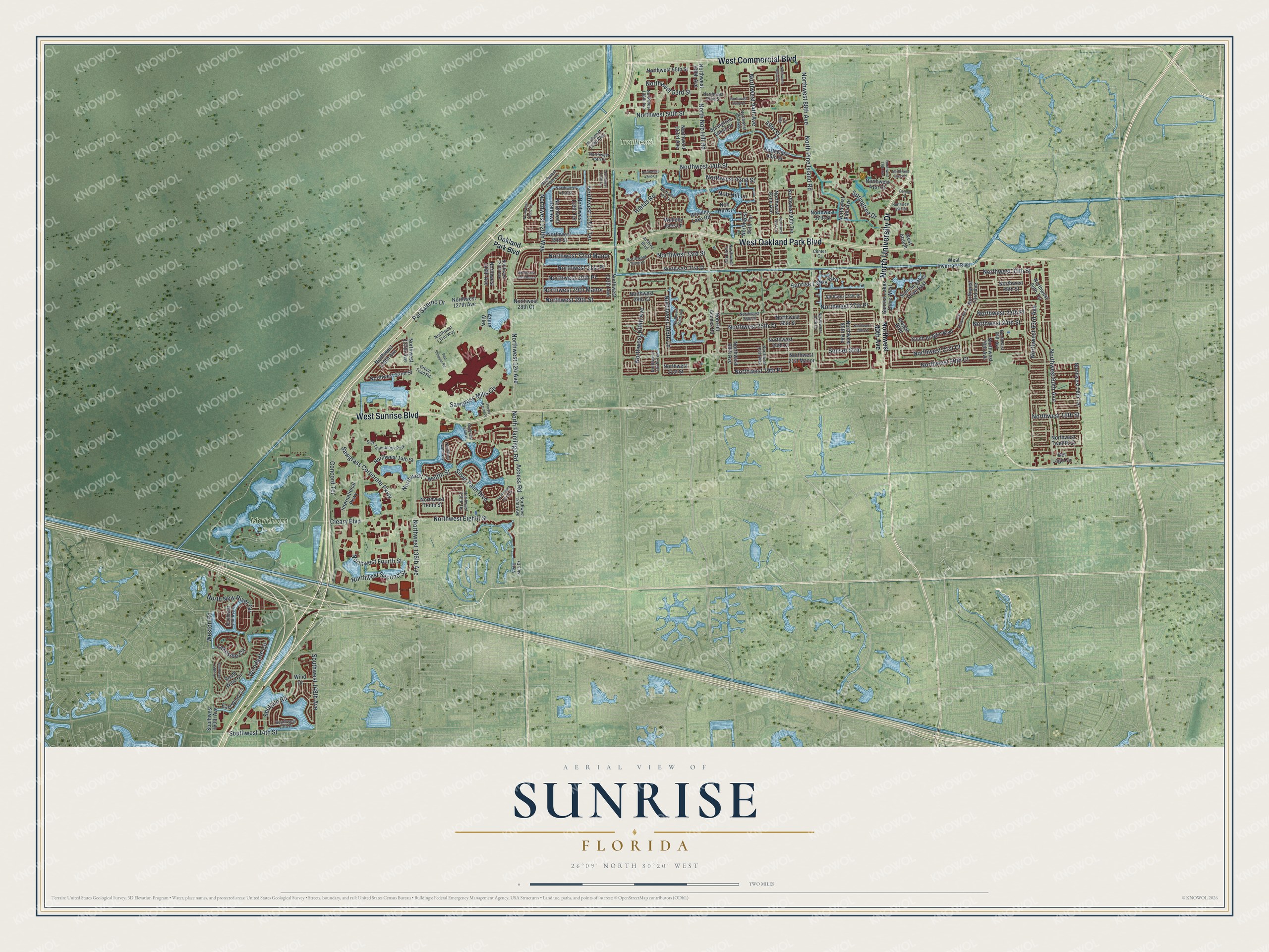
This beautifully detailed map of Sunrise, Florida was created in 2026 using aerial imagery combined with modern topographical, census, street and landmark data. It’s a one-of-a-kind view of Sunrise that combines accurate data with a vintage aesthetic. The map shows every building in its true location, many of the roads carry their names, and the shaded topographic relief shows the shape of the land.
Explore an aerial view of Sunrise, Florida
On the map you’ll find Markham Park, Trailhead, and Northwest 31st Place, along with North University Drive, West Oakland Park Boulevard, West Sunrise Boulevard, West Commercial Boulevard, North Nob Hill Road, North Pine Island Road, Northwest 88th Avenue, Shotgun Road, Northwest 15th Street, and more. If you look closely you can even find your house accurately drawn in its correct location. Zoom in on the preview to look for yours.
Did You Know?
Developer Norman Johnson bought 2,650 acres in southwestern Broward County in 1960. To attract buyers, he and F.E. Dykstra built a fully furnished upside-down house. Life magazine featured the house, and thousands of visitors came to see it. Governor C. Farris Bryant appointed Johnson as the first mayor of Sunrise Golf Village in 1961.
Take a closer look at the Sunrise map
Names on this map
These names are printed on this map.
Places: Markham Park, Trailhead and Saw Technology Park.
Streets and roads: North University Drive, West Oakland Park Boulevard, West Sunrise Boulevard, West Commercial Boulevard, North Nob Hill Road, North Pine Island Road, Northwest 88th Avenue, Shotgun Road, Northwest 31st Place, Northwest 15th Street, Access Road, Northwest 24th Place.
More street names, A to Z
49th Court, 49th Street, Aragon Boulevard, Azure Alley, Balboa Street, Center Court, Cleary Boulevard, Concord Terrace, Del Lago Circle, East Aragon Boulevard, East Wind Circle, Green Toad Road, Hiatus Road, International Parkway, Joshlee Boulevard, Lakeside Circle, Nob Hill Access Road, Nob Hill Court, Nob Hill Lane, North Flamingo Road, North New River Circle, Northwest 14th Street, Northwest 19th Place, Northwest 20th Court, Northwest 21st Court, Northwest 21st Manor, Northwest 21st Street, Northwest 22nd Street, Northwest 24th Court, Northwest 24th Street, Northwest 25th Court, Northwest 25th Street, Northwest 26th Place, Northwest 26th Street, Northwest 27th Place, Northwest 28th Court, Northwest 28th Place, Northwest 28th Street, Northwest 29th Court, Northwest 29th Manor, Northwest 29th Street, Northwest 30th Manor, Northwest 30th Place, Northwest 30th Street, Northwest 31st Court, Northwest 32nd Manor, Northwest 32nd Place, Northwest 33rd Street, Northwest 35th Street, Northwest 37th Street, Northwest 39th Street, Northwest 40th Street, Northwest 41st Court, Northwest 41st Street, Northwest 42nd Court, Northwest 42nd Place, Northwest 42nd Street, Northwest 44th Street, Northwest 45th Place, Northwest 45th Street, Northwest 50th Street, Northwest 52nd Court, Northwest 52nd Street, Northwest 53rd Street, Northwest 55th Street, Northwest 58th Terrace, Northwest 60th Avenue, Northwest 60th Terrace, Northwest 63rd Avenue, Northwest 68th Avenue, Northwest 70th Avenue, Northwest 73rd Avenue, Northwest 79th Avenue, Northwest 80th Avenue, Northwest 84th Avenue, Northwest 85th Avenue, Northwest 87th Lane, Northwest 90th Avenue, Northwest 90th Terrace, Northwest 91st Lane, Northwest 92nd Avenue, Northwest 94th Avenue, Northwest 94th Way, Northwest 95th Avenue, Northwest 95th Terrace, Northwest 97th Avenue, Northwest 98th Avenue, Northwest 100th Avenue, Northwest 103rd Avenue, Northwest 104th Avenue, Northwest 105th Lane, Northwest 107th Terrace, Northwest 108th Avenue, Northwest 109th Avenue, Northwest 113th Avenue, Northwest 113th Terrace, Northwest 115th Terrace, Northwest 115th Way, Northwest 116th Terrace, Northwest 119th Avenue, Northwest 120th Lane, Northwest 120th Way, Northwest 122nd Terrace, Northwest 124 Avenue, Northwest 124th Avenue, Northwest 125th Avenue, Northwest 126th Avenue, Northwest 127th Avenue, Northwest 128th Drive, Northwest 129th Way, Northwest 130th Terrace, Northwest 136th Avenue, Northwest 137th Avenue, Northwest 137th Way, Northwest 139th Avenue, Northwest Eighth Street, Northwest Fourth Street, Northwest Second Street, Northwest Tenth Place, Northwest Tenth Street, Northwest Twelfth Court, Northwest Twelfth Street, Oakland Park Boulevard, Pat Salerno Drive, Purple Parrot Place, Red Snapper Road, Sawgrass Corporate Parkway, Sawgrass Mills Circle, Silver Palm Boulevard, South Aragon Boulevard, Southwest 13th Place, Southwest 14th Street, Southwest 148th Avenue, Southwest 158th Lane, Southwest 159th Avenue, Southwest 160th Avenue, South Wind Circle, Springtree Drive, Springtree Lakes Drive, Sunrise Lakes Boulevard, Sunrise Lakes Drive East, Sunrise Lakes Drive West, Sunset Strip, Vista Isles Drive, Welleby Isles Lane, West Atrium, West Inverrary Boulevard, Weston Road, Wind Drive, Winding Lake Road, Woodgate Circle.
See it on a wall
The Sunrise map as a framed print. Swipe for more.


This beautifully detailed map of Sunrise makes an attractive addition to your office, library, or den, and it can even be used to teach children the geography and history of the area. It also makes a great gift for anyone with Sunrise roots. When you’re done exploring, click here to get your copy of the Sunrise map.