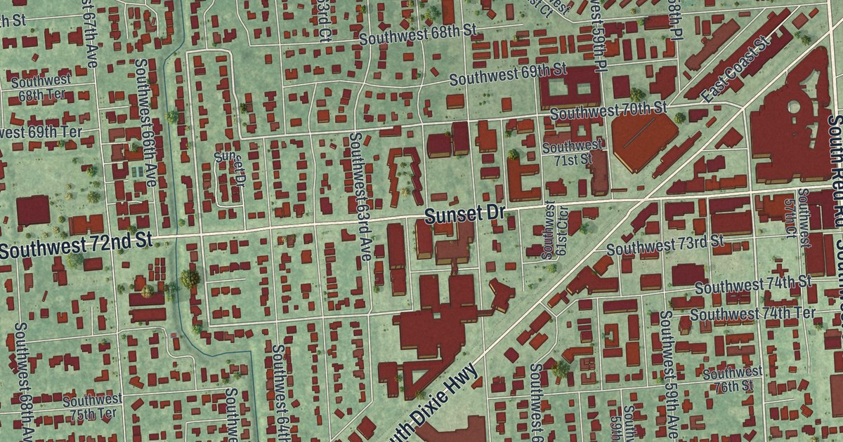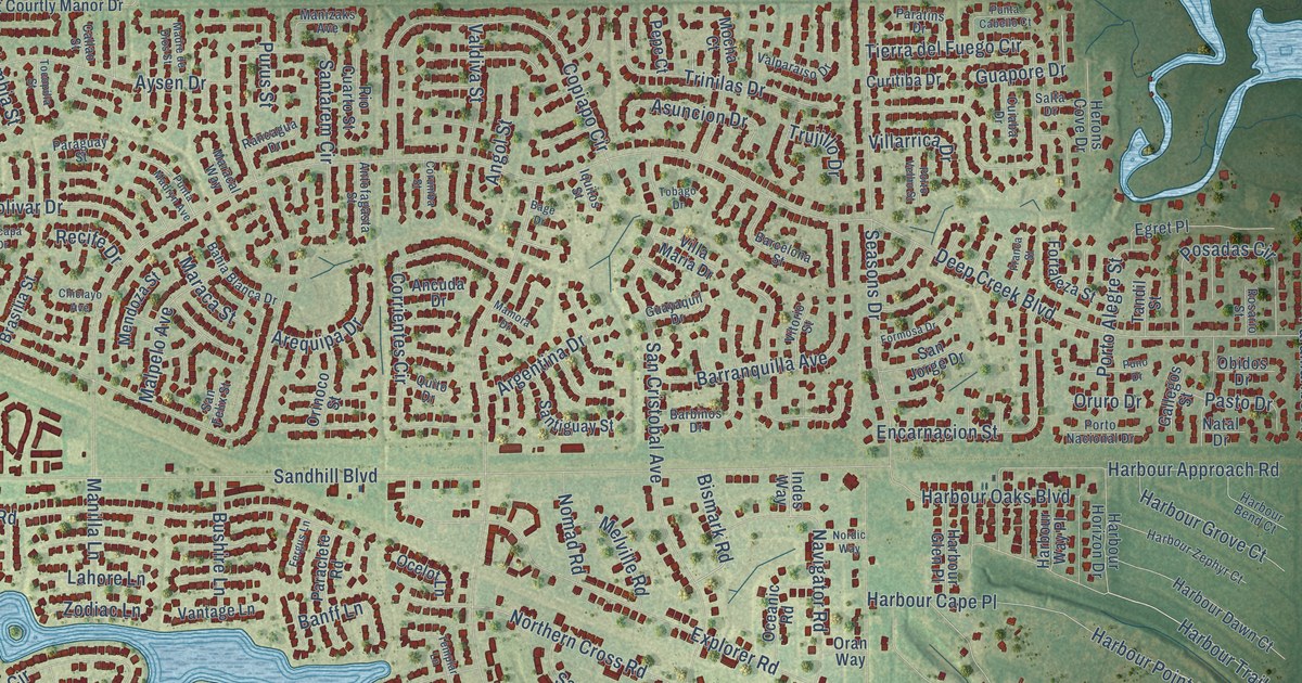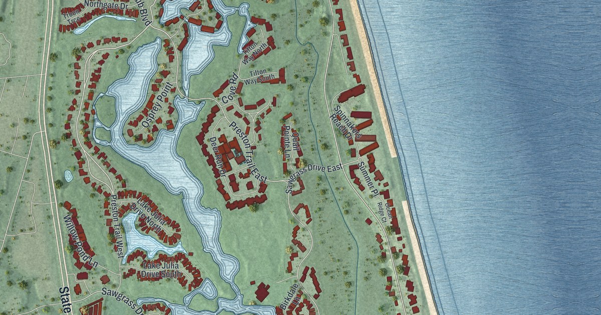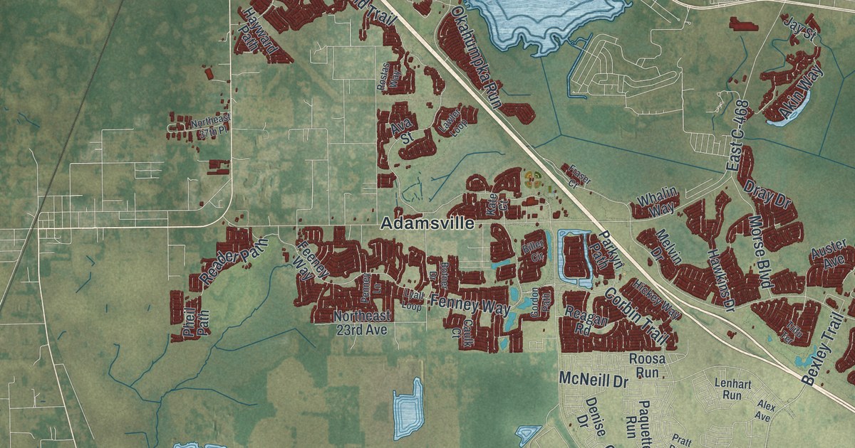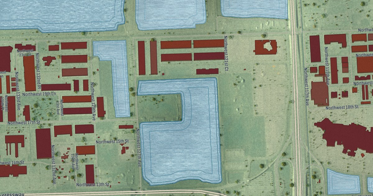
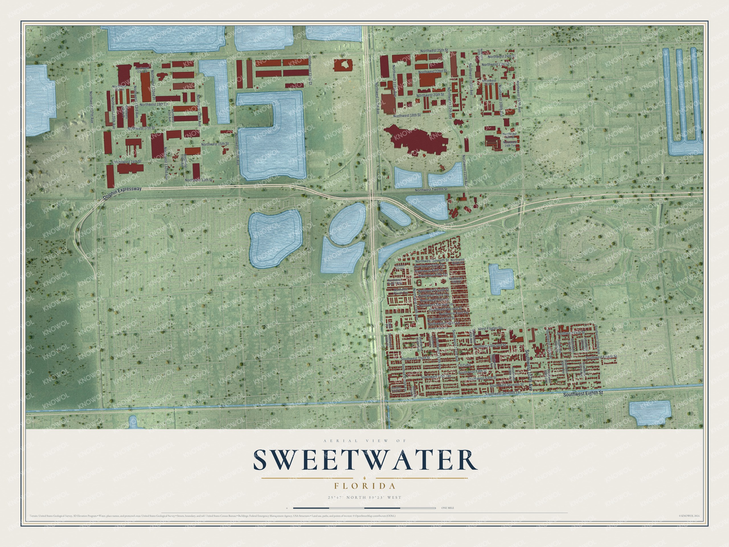
This beautifully detailed map of Sweetwater, Florida was created in 2026 using aerial imagery combined with modern topographical, census, street and landmark data. It’s a one-of-a-kind view of Sweetwater that combines accurate data with a vintage aesthetic. The map shows every building in its true location, many of the roads carry their names, and the shaded topographic relief shows the shape of the land.
Explore an aerial view of Sweetwater, Florida
On the map you’ll find Dolphin Expressway, Southwest Eighth Street, Southwest 107th Avenue, Northwest 17th Street, Northwest Seventh Street, Northwest 18th Street, Northwest 117th Avenue, Northwest 114th Avenue, Northwest 25th Street, Southwest Second Street, Northwest 127th Avenue, Northwest Twelfth Street, and more. If you look closely you can even find your house accurately drawn in its correct location. Zoom in on the preview to look for yours.
Did You Know?
Sweetwater began as Sweetwater Groves, a 1920s land plan ended by the 1926 hurricane. Clyde Andrews took over the land in 1938 and sold lots. Some buyers were retired Russian circus performers who were little people. They built homes sized for them. Their manager, Joe Sanderlin, became the first mayor in 1941.
Take a closer look at the Sweetwater map
Names on this map
These names are printed on this map.
Streets and roads: Dolphin Expressway, Southwest Eighth Street, Southwest 107th Avenue, Northwest 17th Street, Northwest Seventh Street, Northwest 18th Street, Northwest 117th Avenue, Northwest 114th Avenue, Northwest 25th Street, Southwest Second Street, Northwest 127th Avenue, Northwest Twelfth Street.
More street names, A to Z
116th Place, Cll Cuba, Northwest 13st Avenue, Northwest 13th Street, Northwest 14th Street, Northwest 14th Terrace, Northwest 15th Street, Northwest 16th Street, Northwest 19th Lane, Northwest 20th Street, Northwest 21st Lane, Northwest 21st Street, Northwest 22nd Street, Northwest 23rd Lane, Northwest 23rd Street, Northwest 24th Street, Northwest 107th Avenue, Northwest 108th Avenue, Northwest 109th Avenue, Northwest 110th Avenue, Northwest 111th Avenue, Northwest 112th Avenue, Northwest 114 Avenue, Northwest 115th Avenue, Northwest 121st Court, Northwest 129th Avenue, Northwest 130th Avenue, Northwest 132nd Avenue, Northwest 132nd Place, Northwest 133rd Avenue, Northwest 134th Place, Northwest 135th Avenue, Northwest 137th Avenue, Northwest Fifth Street, Northwest Fifth Terrace, Northwest First Street, Northwest First Terrace, Northwest Flagler Lane, Northwest Flagler Terrace, Northwest Fourth Street, Northwest Fourth Terrace, Northwest Fourth Way, Northwest Second Street, Northwest Second Terrace, Northwest Sixth Lane, Northwest Sixth Street, Northwest Sixth Terrace, Northwest Third Street, Northwest Third Terrace, Southwest 102nd Avenue, Southwest 102nd Place, Southwest 103rd Avenue, Southwest 103rd Court, Southwest 104th Avenue, Southwest 104th Court, Southwest 105th Place, Southwest 106th Avenue, Southwest 108th Avenue, Southwest 109th Avenue, Southwest 110th Avenue, Southwest 112th Avenue, Southwest 113th Avenue, Southwest 113th Court, Southwest 114th Avenue, Southwest 114th Court, Southwest 115th Avenue, Southwest 116th Court, Southwest Fifth Street, Southwest Fifth Terrace, Southwest First Street, Southwest Fourth Street, Southwest Seventh Street, Southwest Seventh Terrace, Southwest Sixth Street, Southwest Sixth Terrace, Southwest Third Street, West Flagler Street.
See it on a wall
The Sweetwater map as a framed print. Swipe for more.


This beautifully detailed map of Sweetwater makes an attractive addition to your office, library, or den, and it can even be used to teach children the geography and history of the area. It also makes a great gift for anyone with Sweetwater roots. When you’re done exploring, click here to get your copy of the Sweetwater map.