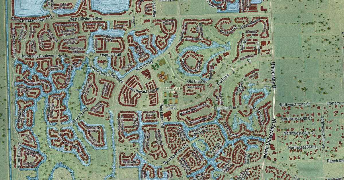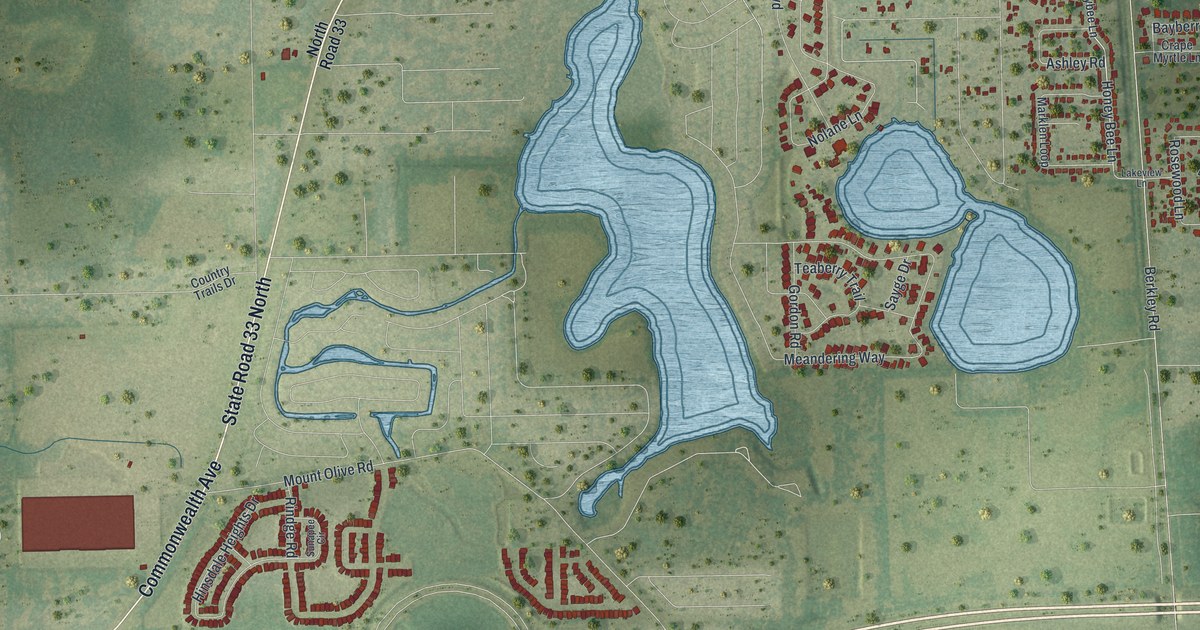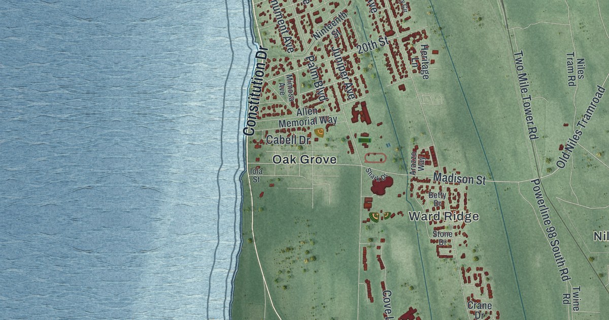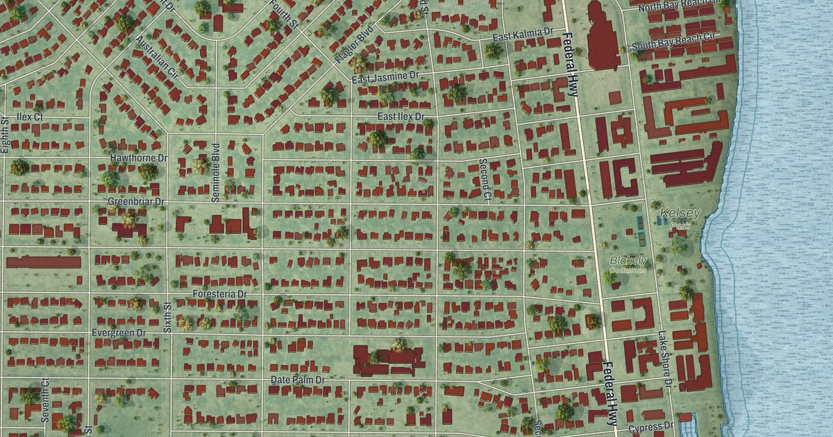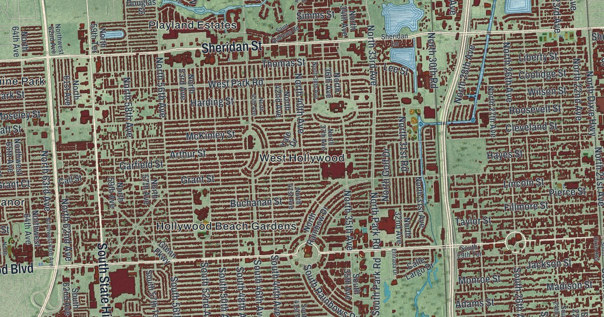
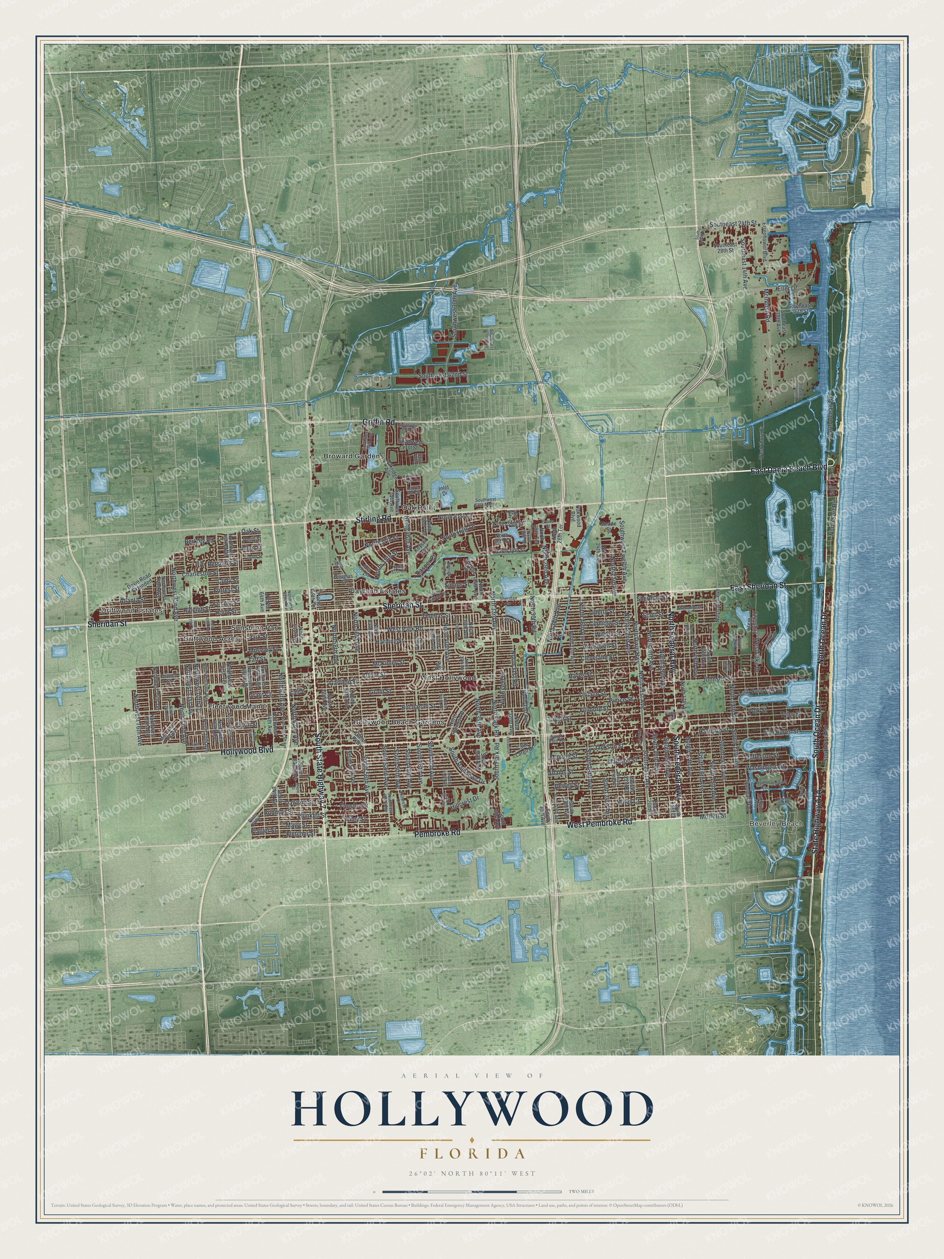
This beautifully detailed map of Hollywood, Florida was created in 2026 using aerial imagery combined with modern topographical, census, street and landmark data. It’s a one-of-a-kind view of Hollywood that combines accurate data with a vintage aesthetic. The map shows every building in its true location, many of the roads carry their names, and the shaded topographic relief shows the shape of the land.
Explore an aerial view of Hollywood, Florida
On the map you’ll find Beverley Beach, Driftwood Estates, Broward Gardens, Driftwood Acres, Fleetwood Manor, Hollywood Beach Gardens, Oak Point, Playland Estates, Sunshine Park, and West Hollywood, along with Hollywood Boulevard, State Highway A1A, and more. If you look closely you can even find your house accurately drawn in its correct location. Zoom in on the preview to look for yours.
Did You Know?
Joseph Wesley Young laid out Hollywood by the Sea on his land in 1921, and he became its first mayor in 1925. Crews with 1,500 trucks and tractors cleared land and graded streets. When the new city lights switched on, ships offshore reported that Miami was burning. People rushed in from miles around to help.
Take a closer look at the Hollywood map
Names on this map
These names are printed on this map.
Places: Beverley Beach, Driftwood Estates, Broward Gardens, Driftwood Acres, Fleetwood Manor, Hollywood Beach Gardens, Oak Point, Playland Estates, Sunshine Park and West Hollywood.
Streets and roads: Hollywood Boulevard, North Ocean Drive, South Ocean Drive, South Federal Highway, West Pembroke Road, East Dania Beach Boulevard, East Sheridan Street, North Federal Highway, Sheridan Street, Stirling Road, Pembroke Road, South State Highway 7.
More street names, A to Z
30th Way, 32nd Way, Adams Street, Allen Street, Arthur Street, Atlanta Street, Banyan Drive, Berkley Road, Branch Street, Buchanan Street, Calle Largo Drive, Call Street, Casper Court, Charleston Street, Cleveland Street, Cody Street, Coolidge Street, Custer Street, Davie Road Extended, Dawson Street, Dewey Street, Diplomat Parkway, Douglas Street, Duval Street, Eaton Street, Eisenhower Boulevard, Eller Drive, Elm Street, Emerald Pointe Drive, Entrada Drive, Evans Street, Farragut Street, Fillmore Street, Flagler Street, Fletcher Street, Forrest Drive, Forrest Street, Fox Road, Funston Street, Garfield Street, Glenn Parkway, Grant Court, Grant Street, Griffin Road, Harbor Court, Harbor Island Drive, Harding Street, Harrison Street, Hayes Street, Hillcrest Court, Hillcrest Drive, Hollywood Oaks Drive, Hood Street, Inlet Drive, Jackson Street, Jefferson Street, Johnson Street, Keyser Avenue, Laurel Oak Street, Lee Street, Liberty Street, Lincoln Street, Madison Street, Maple Street, Marina Drive, Mayo Street, McArthur Parkway, McIntosh Road, McKinley Street, Meade Street, Moffett Street, Monroe Street, Moseley Street, North 13th Avenue, North 13th Court, North 14th Avenue, North 15th Avenue, North 16th Avenue, North 16th Court, North 17th Avenue, North 19th Avenue, North 20th Avenue, North 21st Avenue, North 22nd Avenue, North 23rd Avenue, North 24th Avenue, North 26th Avenue, North 27th Avenue, North 28th Avenue, North 28th Terrace, North 29th Avenue, North 29th Terrace, North 30th Road, North 30th Terrace, North 31st Avenue, North 31st Court, North 31st Road, North 32nd Avenue, North 33rd Avenue, North 34th Avenue, North 34th Street, North 35th Avenue, North 35th Street, North 36th Avenue, North 36th Street, North 37th Avenue, North 37th Street, North 38th Avenue, North 39th Street, North 40th Avenue, North 41st Avenue, North 41st Court, North 42nd Avenue, North 42nd Terrace, North 45th Avenue, North 46th Avenue, North 53rd Avenue, North 55th Avenue, North 56th Avenue, North 57th Avenue, North 57th Drive, North 58th Avenue, North 59th Avenue, North 59th Terrace, North 61st Avenue, North 62nd Avenue, North 63rd Avenue, North 64th Avenue, North 65th Terrace, North 69th Avenue, North 70th Avenue, North 70th Terrace, North 72nd Avenue, North 73rd Avenue, North Dixie Highway, North Golf Drive, North Hills Drive, North North Lake Drive, North Park Road, North Rainbow Drive, North Surf Road, North Twelfth Court, Northwest 62nd Avenue, Northwest 63rd Avenue, Northwest 64th Avenue, Northwest 65th Avenue, Northwest 66th Avenue, Northwest 67th Avenue, Northwest 67th Terrace, Northwest 68th Avenue, Northwest 69th Avenue, Northwest 69th Way, Northwest 70th Terrace, Northwest 71st Avenue, Northwest 72nd Avenue, Northwest 73rd Avenue, Northwest 74th Terrace, Northwest 75th Avenue, Northwest 76th Avenue, Oakridge Avenue, Oak Street, Oakwood Boulevard, Park Street, Perry Street, Pershing Street, Pierce Street, Pines Parkway, Plunkett Street, Polk Street, Radius Drive, Raleigh Street, Rodman Street, Roosevelt Street, Saint Andrews Road, Sanibel Drive, Scott Street, Shenandoah Street, Sheridan Lane, Sherman Street, Shoreline Way, Simms Street, South 13th Avenue, South 14th Avenue, South 15th Avenue, South 16th Avenue, South 17th Avenue, South 18th Court, South 19th Avenue, South 20th Avenue, South 20th Court, South 21st Avenue, South 22nd Court, South 24th Avenue, South 24th Terrace, South 26th Avenue, South 28th Avenue, South 29th Avenue, South 29th Terrace, South 30th Avenue, South 33rd Avenue, South 35th Avenue, South 41st Avenue, South 44th Avenue, South 46th Avenue, South 48th Avenue, South 50th Avenue, South 52nd Avenue, South 56th Avenue, South 57th Terrace, South 62nd Avenue, South 64th Avenue, South Dixie Highway, Southeast 14th Avenue, Southeast 18th Avenue, Southeast 20th Avenue, Southeast 24th Street, Southeast 28th Street, Southeast 36th Street, South Miami Road, South Park Road, South Rainbows Drive, South Surf Road, Southwest 25th Avenue, Southwest 30th Avenue, Southwest 35th Avenue, Southwest 38th Avenue, Southwest 42nd Street, Southwest 49th Street, Southwest 51st Street, Southwest 52nd Avenue, Southwest 58th Manor, Southwest Twelfth Avenue, Sweetbay Way, Taft Street, Taylor Street, Thomas Street, Tyler Street, Van Buren Street, Washington Street, Weeping Willow Way, West Lake Drive, West Park Road, West Shore Drive, Wiley Court, Wiley Street, Wilson Street, Yale Drive.
See it on a wall
The Hollywood map as a framed print. Swipe for more.


This beautifully detailed map of Hollywood makes an attractive addition to your office, library, or den, and it can even be used to teach children the geography and history of the area. It also makes a great gift for someone who left Hollywood and still calls it home. When you’re done exploring, click here to get your copy of the Hollywood map.