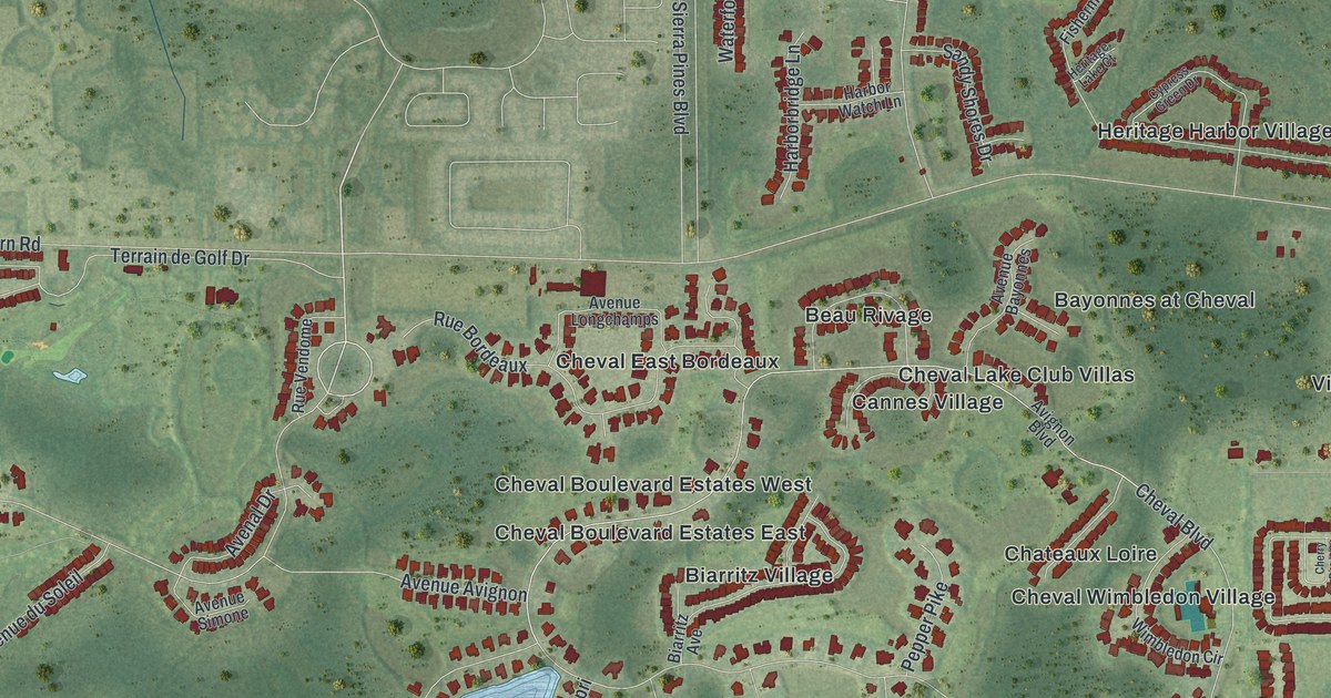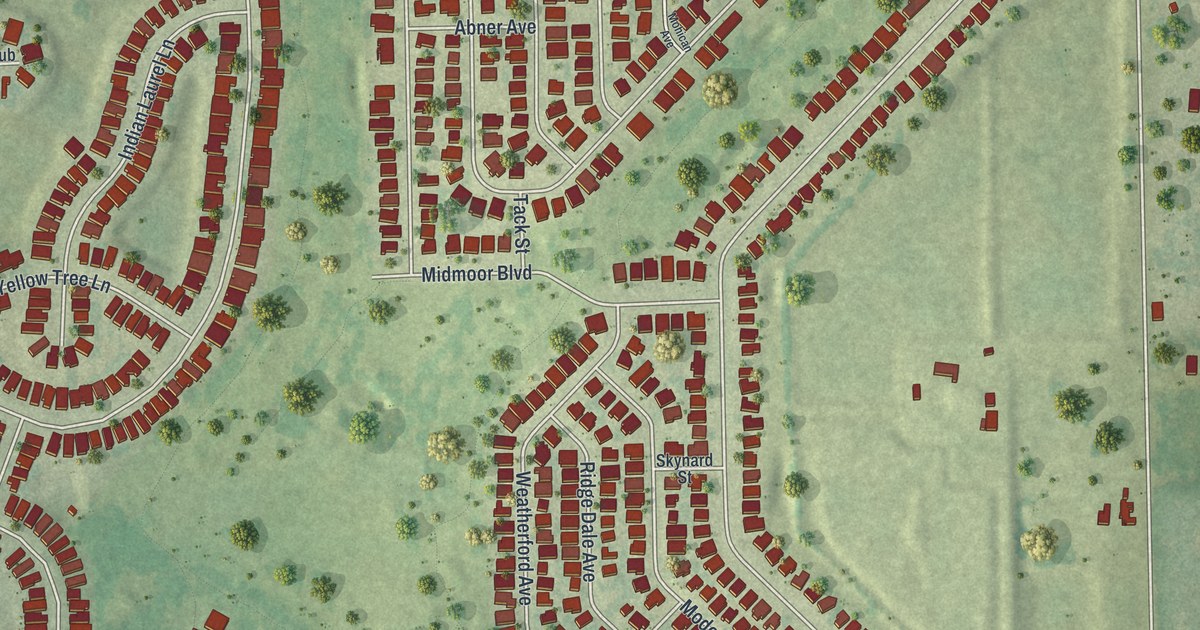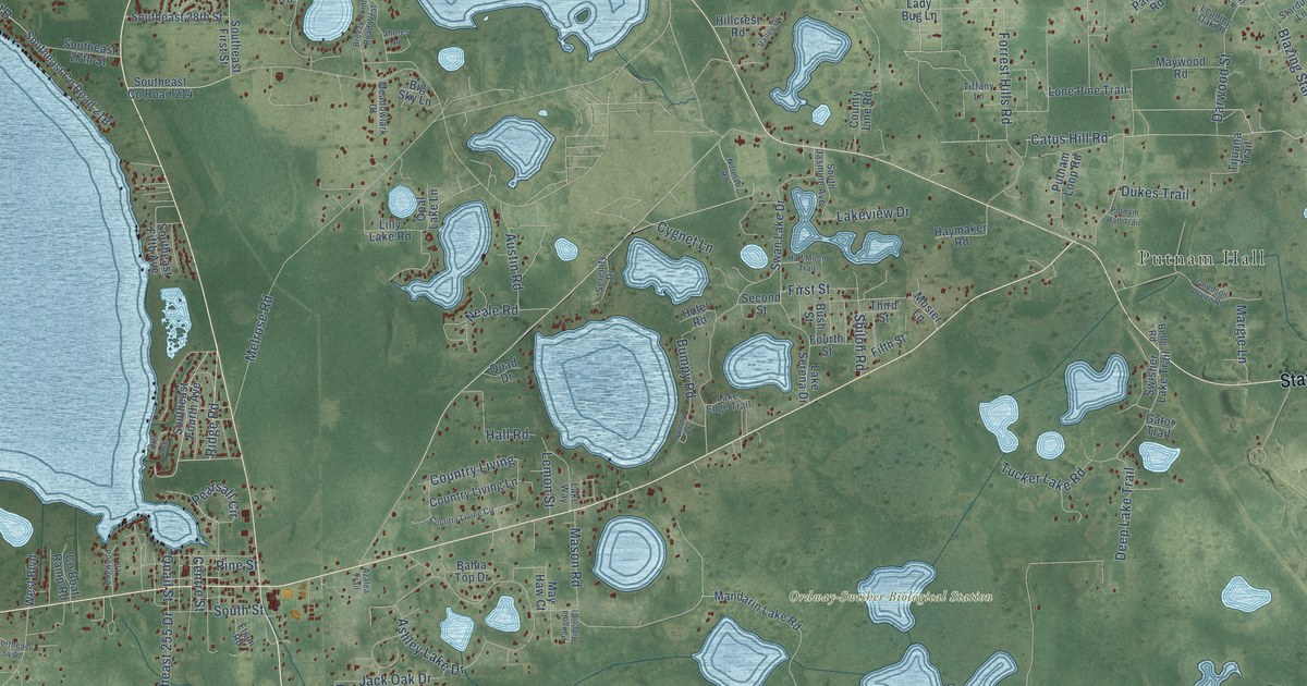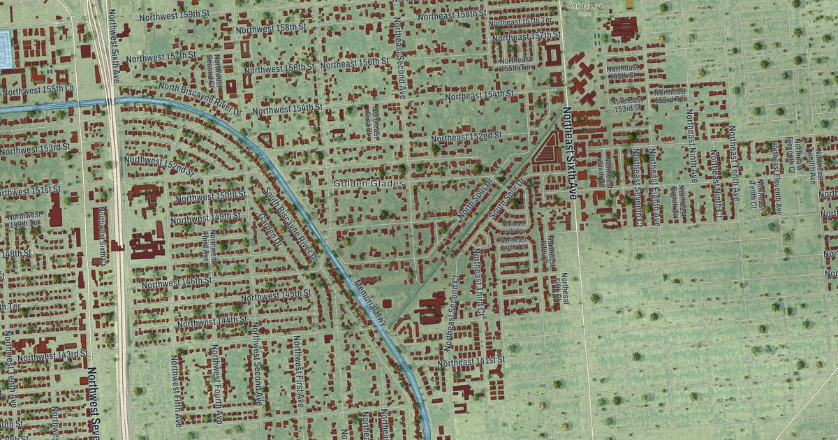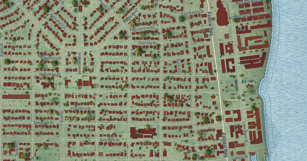
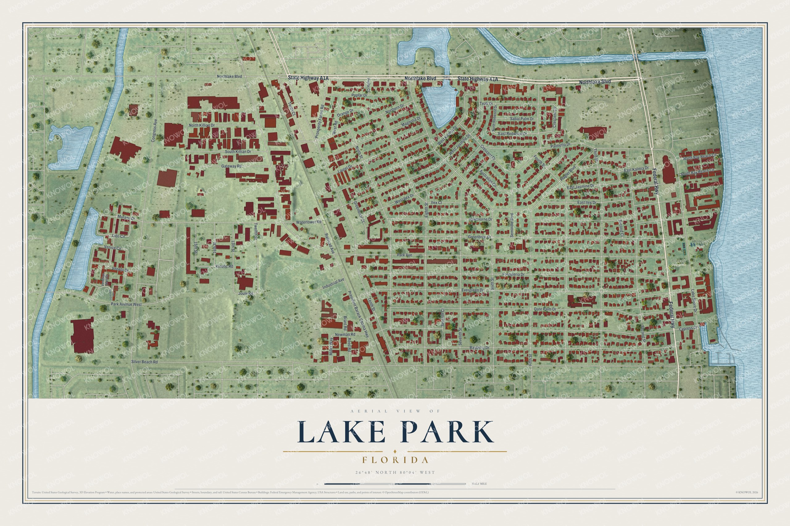
This beautifully detailed map of Lake Park, Florida was created in 2026 using aerial imagery combined with modern topographical, census, street and landmark data. It’s a one-of-a-kind view of Lake Park that combines accurate data with a vintage aesthetic. The map shows every building in its true location, many of the roads carry their names, and the shaded topographic relief shows the shape of the land.
Explore an aerial view of Lake Park, Florida
On the map you’ll find Blakely Commons and Kelsey Park, along with Northlake Boulevard, State Highway A1A, Federal Highway, East Redwood Drive, Crescent Circle, Venice Circle, Lido Circle, Miller Way, Murano Drive, Joule Road, and more. If you look closely you can even find your house accurately drawn in its correct location. Zoom in on the preview to look for yours.
Did You Know?
The town was incorporated in 1923 as Kelsey City. It honored Boston businessman Harry Seymour Kelsey, who had bought 30,000 acres north of West Palm Beach. John Nolan and the Olmsted Brothers planned it, and it became the first zoned town in Florida. It took the name Lake Park in 1939.
Take a closer look at the Lake Park map
Names on this map
These names are printed on this map.
Places: Blakely Commons and Kelsey Park.
Streets and roads: Northlake Boulevard, Federal Highway, East Redwood Drive, Crescent Circle, Venice Circle, Lido Circle, Miller Way, Murano Drive, Joule Road, Silver Beach Road, President Barack Obama Highway, Evergreen Drive.
More street names, A to Z
13th Street, 14th Street, 15th Street, Australian Circle, Bayberry Drive, Brant Road, Congress Avenue, Crescent Drive, Cypress Drive, Date Palm Drive, East Ilex Drive, East Jasmine Drive, East Kalmia Drive, Eighth Street, Fifth Street, Flagler Boulevard, Foresteria Drive, Fourth Street, Gateway Road, Greenbriar Court, Greenbriar Drive, Hawthorne Drive, Ilex Court, Industrial Avenue, Kinetic Road, Lake Shore Drive, Laurel Drive, Magnolia Drive, Newman Road, Ninth Street, North Bay Reach Circle, Northern Drive, North Killian Drive, North Redwood Drive, Orange Drive, Palmetto Drive, Park Avenue, Park Avenue West, Poplar Court, Poplar Drive, Prosperity Farms Road, Railroad Avenue, Reed Road, Sabal Palm Drive, San Marco Circle, Second Court, Second Street, Seminole Boulevard, Seventh Court, Seventh Street, Sixth Street, South Bay Reach Circle, South Killian Drive, Teak Drive, Tenth Court, Tenth Street, Third Street, Twelfth Street, Venetian Isles Drive, Veneto Drive, Watertower Road, West Ilex Drive, West Jasmine Drive, West Kalmia Drive, West Road.
See it on a wall
The Lake Park map as a framed print. Swipe for more.


This beautifully detailed map of Lake Park makes an attractive addition to your office, library, or den, and it can even be used to teach children the geography and history of the area. It also makes a great gift for someone who left Lake Park and still calls it home. When you’re done exploring, click here to get your copy of the Lake Park map.