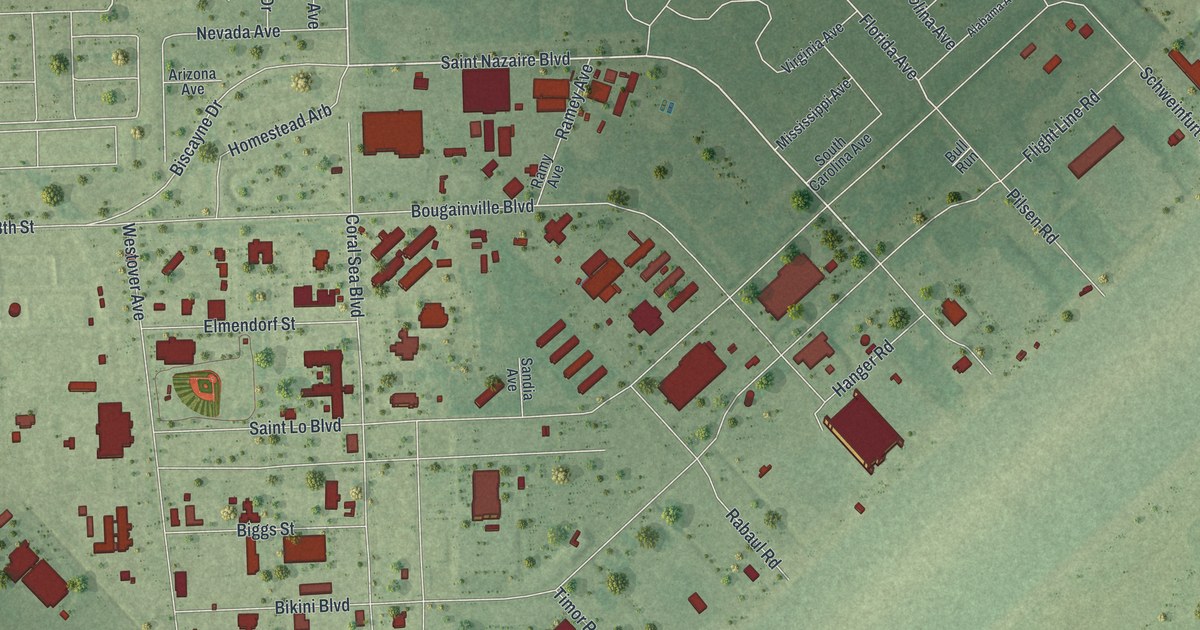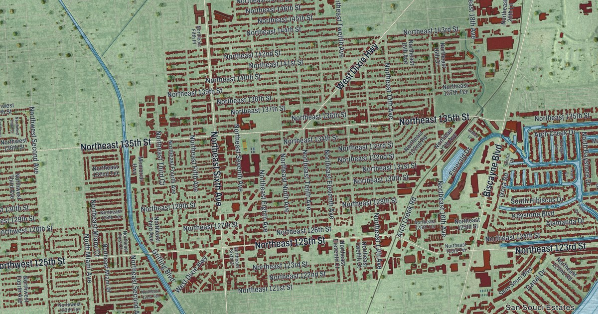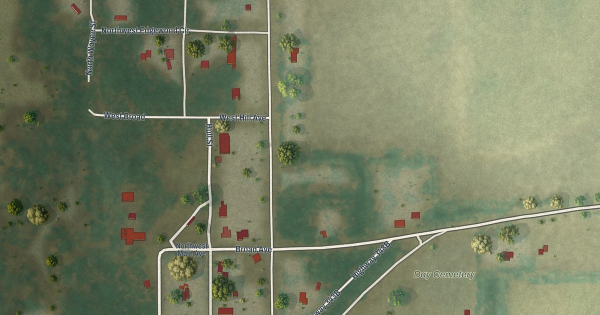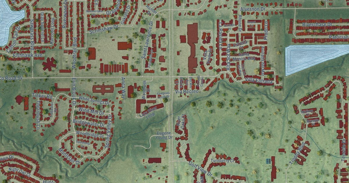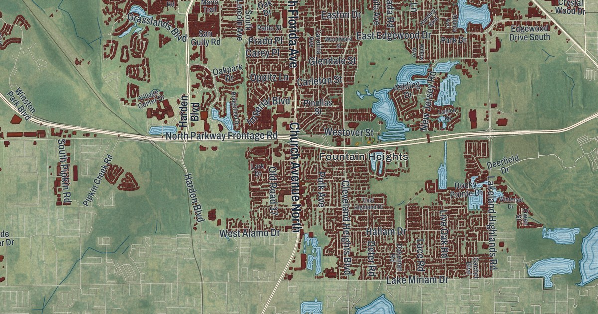
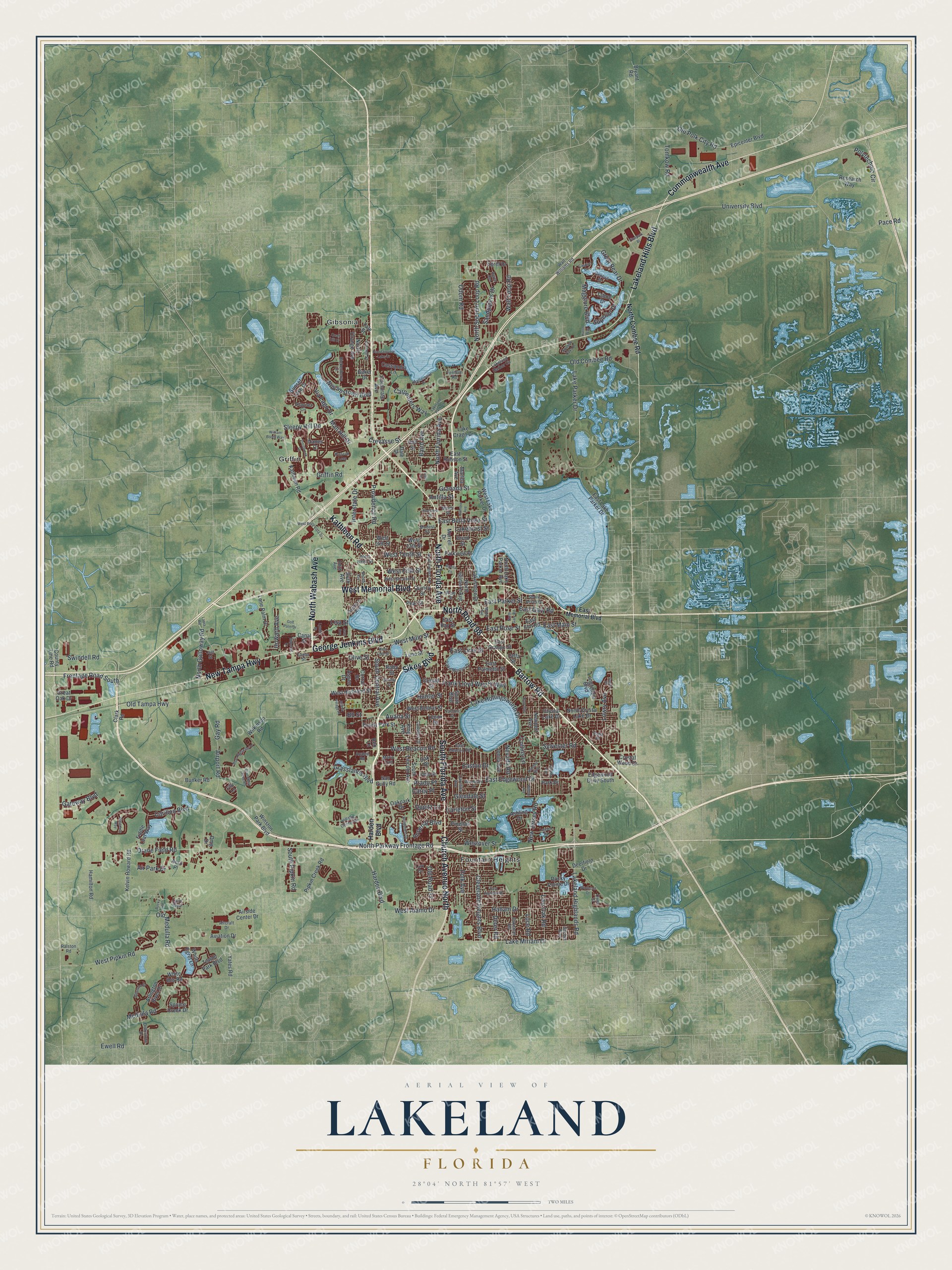
This beautifully detailed map of Lakeland, Florida was created in 2026 using aerial imagery combined with modern topographical, census, street and landmark data. It’s a one-of-a-kind view of Lakeland that combines accurate data with a vintage aesthetic. The map shows every building in its true location, many of the roads carry their names, and the shaded topographic relief shows the shape of the land.
Explore an aerial view of Lakeland, Florida
On the map you’ll find Fountain Heights, Gibsonia, and Griffin, along with Bartow Road, South Florida Avenue, Sikes Boulevard, North Florida Avenue, Lakeland Hills Boulevard, George Jenkins Boulevard, West Memorial Boulevard, Commonwealth Avenue, New Tampa Highway, and more. If you look closely you can even find your house accurately drawn in its correct location. Zoom in on the preview to look for yours.
Did You Know?
Abraham Munn of Louisville, Kentucky, bought 80 acres in 1882 where downtown Lakeland stands today. He laid out the town in 1884, the year rail lines arrived. Lakeland was incorporated on January 1, 1885. Its name came from the many lakes around it.
Take a closer look at the Lakeland map
Names on this map
These names are printed on this map.
Places: Fountain Heights, Gibsonia and Griffin.
Streets and roads: Bartow Road, South Florida Avenue, Sikes Boulevard, North Florida Avenue, Lakeland Hills Boulevard, George Jenkins Boulevard, West Memorial Boulevard, Commonwealth Avenue, New Tampa Highway, Kathleen Road, Church Avenue North, North Road 98.
More street names, A to Z
Aero Place, Aircraft Drive, Air Park Drive, Airport Road, Airside Center Drive, Altavista Circle, Antilla Street, Ariana Street, Ariana Village Place, Arlington River Drive, Ashling Drive, Aspen Drive, Atlanta Avenue, Aviation Drive, Azalea Road, Baird Avenue, Baker Drive, Bb Street, Blue Highlands Drive, Bridgefield Drive, Bryant Road, Buena Vis, Bunker Road, Camphor Drive, Canal Street, Candyce Avenue, Carey Place, Carillon Boulevard, Carleton Street, Carolina Avenue, Carpenters Way, Caspian Drive, Cassandra Lane, Clark Road, Cleveland Heights Boulevard, Collins Lane, Cornell Street, Corporate Avenue, Corral Drive, County Line Road, Cresap Street, Crevasse Street, Crystal Lake Drive, Crystal Wood Drive, Dakeman Road, Dale Drive, Dana Place, Danes Court, Deerfield Drive, Deter Road, Dmg Drive, Dolostone Drive, Dorothy Street, Drane Field Road, Druid Street, East Bay Street, East Beacon Road, East Bella Vista Street, East Edgewood Drive, East Elm Road, East Gary Road, East Highland Drive, East Lake Parker Drive, East Lime Street, East Main Street, East Memorial Boulevard, Easton Drive, East Orange Street, East Palmetto Street, East Parker Street, East Robson Street, East Rose Street, Edgewood Drive South, Edith Avenue, Egret Drive, Epicenter Boulevard, Ewell Road, Fernery Road, Fiddle Leaf Way, Filly Lane, Firstpark Bl, Forest Park Street, Fountainview Lake Drive, Frank Lloyd Wright Way, Frontage Road South, Gachet Boulevard, Gateway Boulevard, Gay Road, Geneva Drive, Gilmore Avenue, Glendale Street, Golf Palm Drive, Granada Street, Grandbury Grove Road, Grasslands Boulevard, Great Bear Drive, Great Oak Drive, Griffin Road, Hallam Drive, Hamilton Road, Handley Boulevard, Harden Boulevard, Heatherpoint Drive, Howard Avenue, Hull Street, Hunt Avenue, Hunter Street, Huron Way, Imperial Boulevard, Imperial Drive, Innisbrook Drive, Interstate Drive, Jaffa Street, Jean Avenue, Jeff Street, Jonila Avenue, Kalt Drive, Kelvin Howard Road, King Avenue, Lagoon Road, Laird Boulevard, Lake Crago Drive, Lake Hollingsworth Drive, Lakehurst Street, Lakeland Harbor Circle, Lakeland Highlands Road, Lakeland Park Drive, Lake Miriam Drive, Lake Morton Drive, Lake Parker Drive, Lakeshore Drive, Lanier Street, Lark Drive, Laura Road, Lenox Street, Lime Street, Lisa Street, Live Oak Road, Lone Palm Drive, Longfellow Boulevard, Lowry Avenue, Luce Road, Lyndol Street, Mabel Avenue, Maggiore Boulevard, Mall Hill Drive, Mario Trail, Martha Avenue, Medulla Road, Miami Street, Modest Street, Morrell Drive, Nevada Road, Neville Avenue, New Jersey Road, Newport Avenue, North Combee Road, North Crystal Lake Drive, North Galloway Road, North Gary Road, North Gilmore Avenue, North Lake Parker Avenue, North Orange Avenue, North Parkway Frontage Road, North Socrum Loop Road, North Virginia Avenue, North Wabash Avenue, Oak Drive, Oakpark Drive, Odom Road, Old Combee Road, Old Medulla Road, Old Polk City Road, Old Road 37, Old Tampa Highway, Olive Street, Oppitz Lane, Owen Street, Pablo Street, Pace Road, Palmola Street, Park Drive, Parkview Place, Pear Street, Pinehurst Street, Pinellas Street, Pipkin Creek Road, Plum Street, Polk Avenue, Polytechnic Circle, Prado Place, Prescott Loop, Providence Road, Quail Hill Drive, Quincy Street, Ralston Road, Raven Run, Research Way, Rex Lane, Rickenberry Lane, Rocky Pointe Drive, Rocky Road, Ruby Street, Ruth Avenue, Sandpipers Drive, San Gully Road, Shore Acres Drive, Siltstone Street, Sleepy Hill Road, South Boulevard, South Central Avenue, South Lincoln Avenue, South Pipkin Road, Spanish Oaks Drive, Spruce Creek Drive, Sugar Place, Sunset Lake Drive, Superior Drive, Swindell Road, Sylvester Road, Tahoe Drive, Tomkow Road, Towne Park Boulevard, University Boulevard, Via Lago Drive, Village Center Drive, Walt Loop Road, Walt Williams Road, Waterlute Way, West 13th Street, West 14th Street, West Alamo Drive, West Beacon Road, West Bella Vista Street, West Belmar Street, West Fifth Street, West Highland Street, West Lake Parker Drive, West Lime Street, West Main Street, West Ninth Street, Westover Street, West Pipkin Road, West Second Street, West Tenth Street, White Egret Lane, White Ibis Road, Wilkinson Road, William Booth Way, Williamstown Boulevard, Willow Avenue, Winston Park Boulevard, Winterset Drive, Woodward Street, Yale Street, Yates Road.
See it on a wall
The Lakeland map as a framed print. Swipe for more.


This beautifully detailed map of Lakeland makes an attractive addition to your office, library, or den, and it can even be used to teach children the geography and history of the area. It also makes a great gift for anyone with Lakeland roots. When you’re done exploring, click here to get your copy of the Lakeland map.