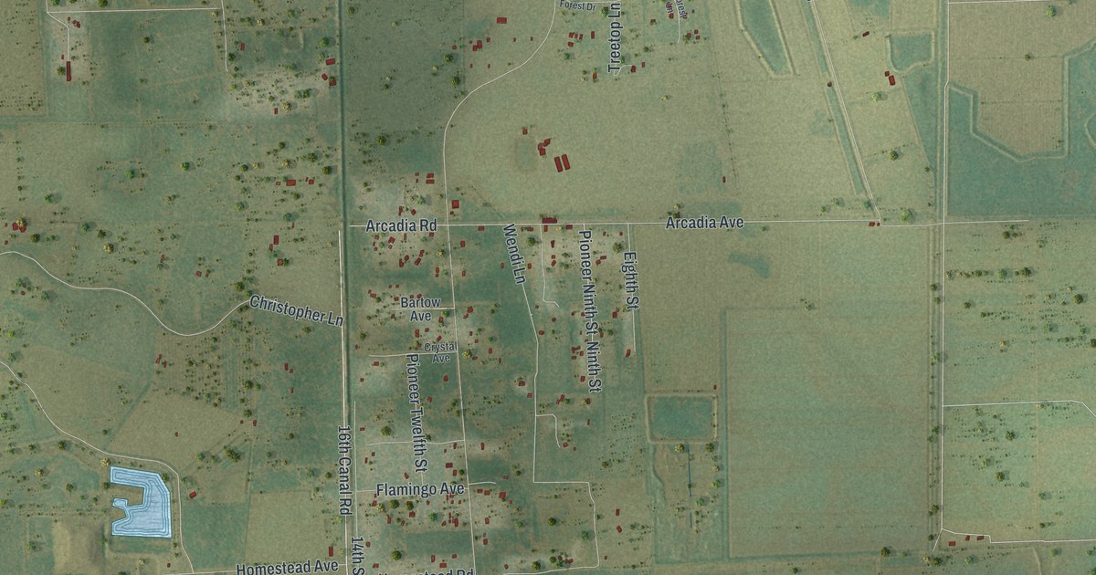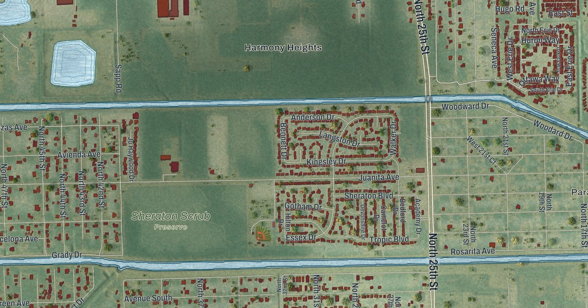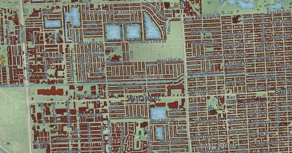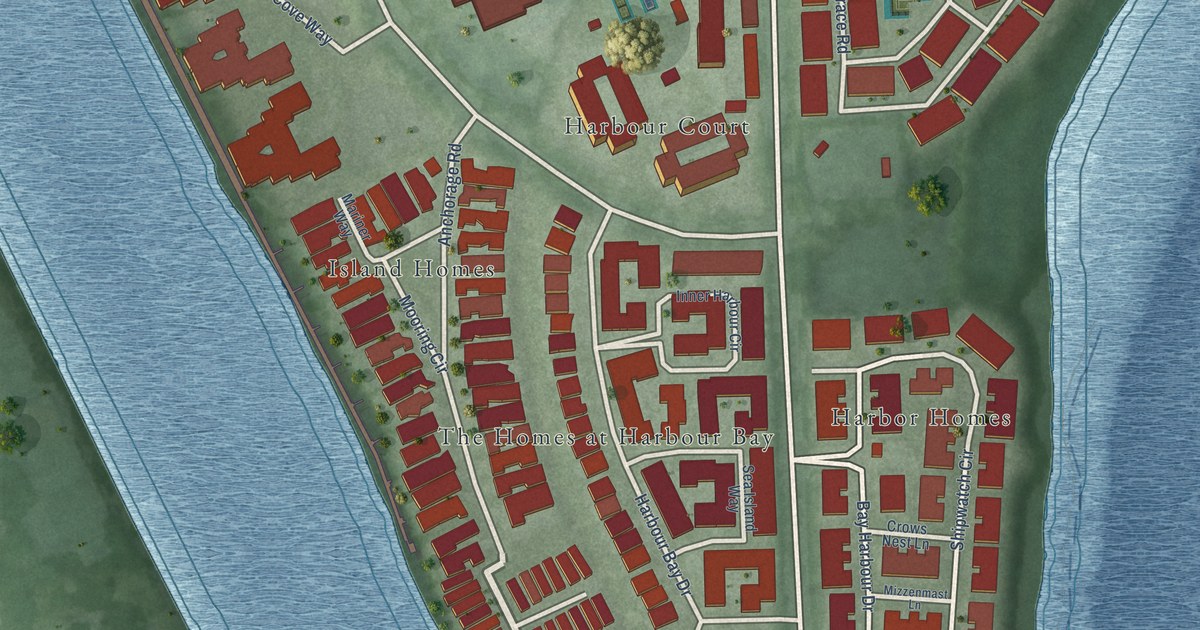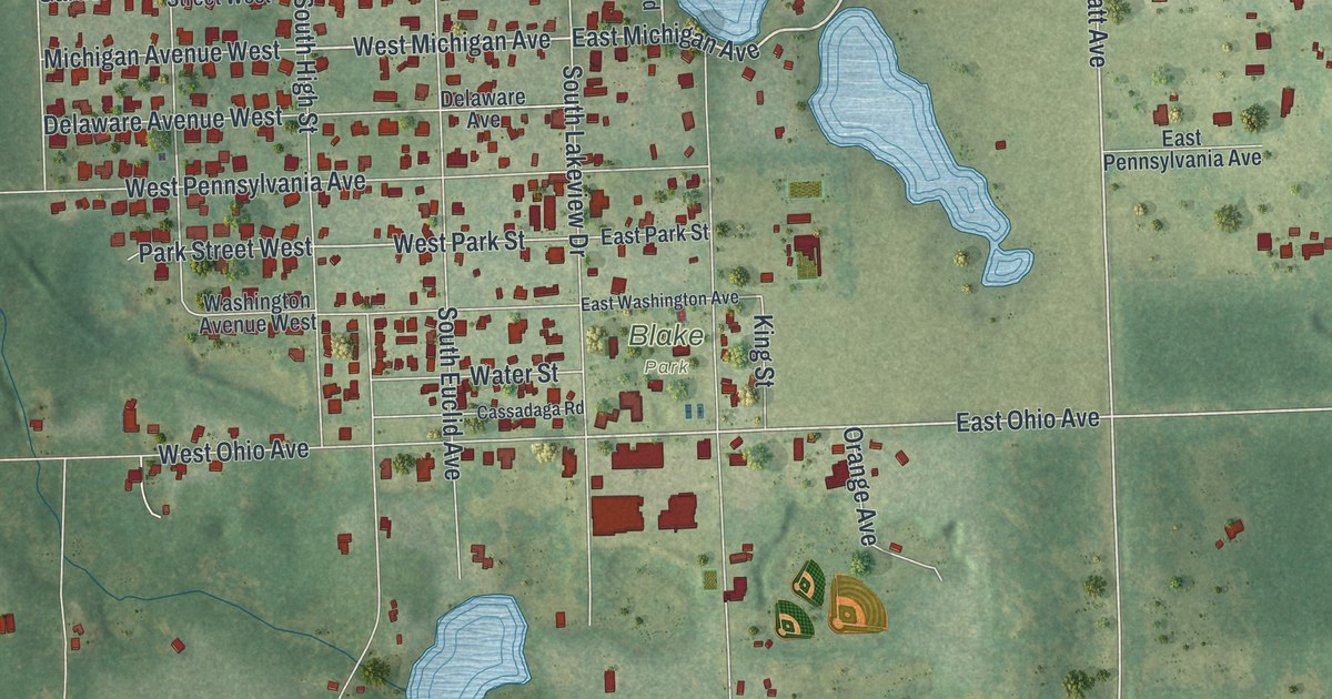
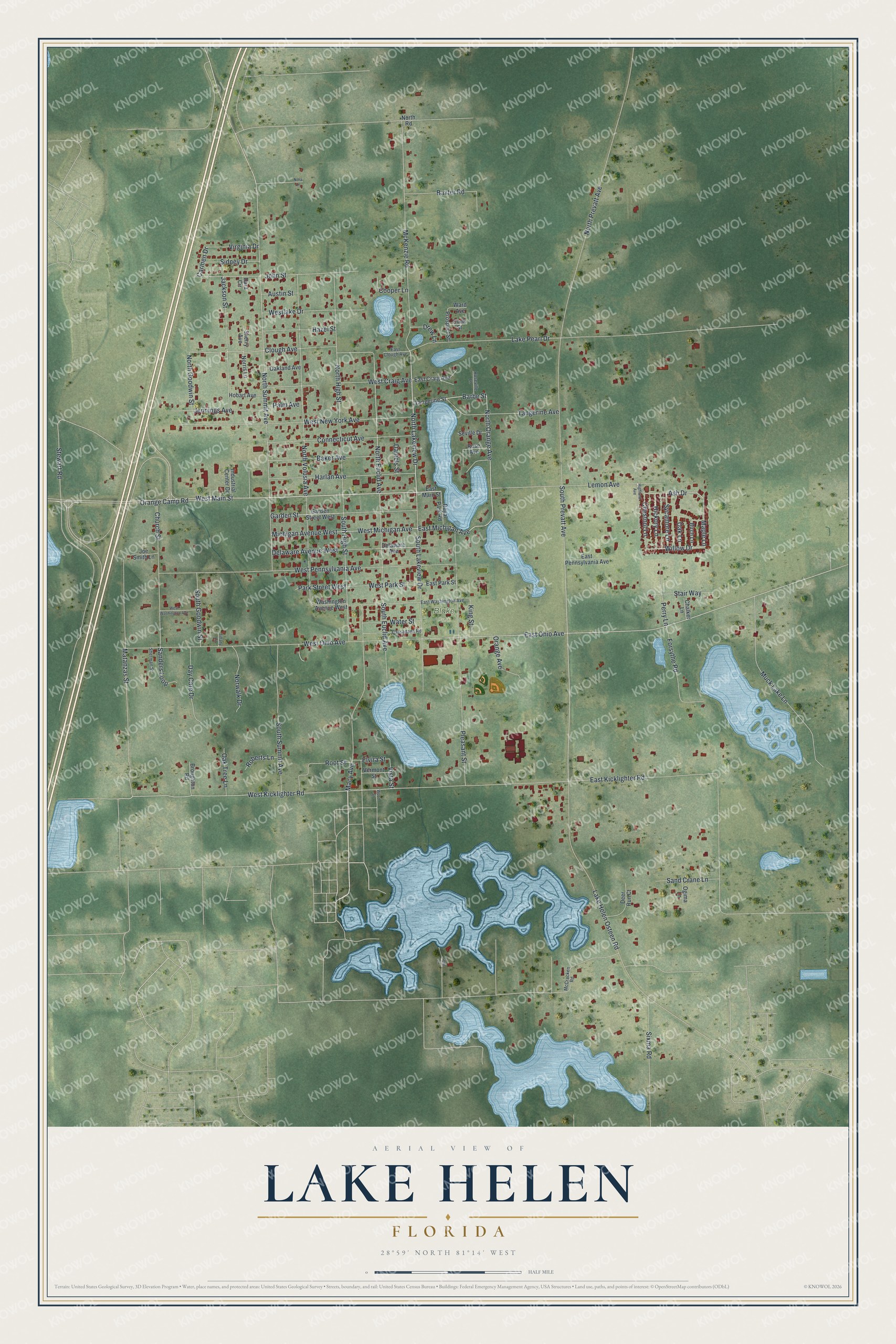
This beautifully detailed map of Lake Helen, Florida was created in 2026 using aerial imagery combined with modern topographical, census, street and landmark data. It’s a one-of-a-kind view of Lake Helen that combines accurate data with a vintage aesthetic. The map shows every building in its true location, many of the roads carry their names, and the shaded topographic relief shows the shape of the land.
Explore an aerial view of Lake Helen, Florida
On the map you’ll find Blake Park, along with West Main Street, North Lakeview Drive, East Michigan Avenue, North Orange Avenue, Barbe Street, West Michigan Avenue, Willow Drive, Maple Lane, Ash Drive, East Ohio Avenue, South Prevatt Avenue, and more. If you look closely you can even find your house accurately drawn in its correct location. Zoom in on the preview to look for yours.
Take a closer look at the Lake Helen map
Names on this map
These names are printed on this map.
Places: Blake Park.
Streets and roads: West Main Street, North Lakeview Drive, East Michigan Avenue, North Orange Avenue, Barbe Street, West Michigan Avenue, Willow Drive, Maple Lane, Ash Drive, East Ohio Avenue, South Prevatt Avenue, West Kicklighter Road.
More street names, A to Z
Austin Street, Baker Avenue, Baxter Road, Birch Lane, Broughton Road, Carmen Drive, Cassadaga Road, Chalker Lane, Chestnut Lane, Church Street, Clough Avenue, Connecticut Avenue, Cook Street, Cooper Lane, Daniels Street, Dara Circle, Day Care Drive, Deer Run Court, Delaware Avenue, Delaware Avenue West, Drew Lane, East Clough Avenue, East Craig Avenue, East Kicklighter Road, East Main Street, East Park Street, East Pennsylvania Avenue, East Washington Avenue, Elvira Street, Forsythe Road, Garden Street, Garden Street West, Gem Lane, Harlan Avenue, Hazel Street, Hickory Lane, Highland Avenue, Hobart Avenue, Industrial Center Drive, Jackson Street, Jennings Avenue, Joe Smith Lane, John Street, King Street, Lake Helen Osteen Road, Lake Pearl Drive, Lemon Avenue, Macy Avenue, Matanzas Street, McCracken Road, McKenzie Road, Michigan Avenue West, Muck Lake Lane, Nora Lane, Norris Lane, North Euclid Avenue, North Goodwin Street, North High Street, North Prevatt Avenue, North Road, North Summit Avenue, North Volusia Avenue, Norwalk Drive, Oakland Avenue, Oak Lane, Oak Tree Lane, Ogima Lane, Orange Avenue, Orange Camp Road, Palm Avenue, Park Street West, Perry Lane, Pleasant Street, Prospect Street, Roberts Lane, Root Street, Rose Avenue, Roseville Lane, Royal Park Road, Sand Crane Lane, Sanders Loop, Seville Drive, Sherman Street, Sherry Avenue, Sidney Drive, Sixma Road, South Euclid Avenue, South Goodwin Street, South High Street, South Lakeview Drive, South Summit Avenue, Stair Way, Stewart Road, Sycamore Lane, Tangerine Avenue, Tangerine Street, Tiffany Lane, Vermont Street, Virginia Drive, Vista Street, Ward Avenue, Washington Avenue West, Water Street, West Craig Avenue, Westlake Drive, West New York Avenue, West Ohio Avenue, West Park Street, West Pennsylvania Avenue, West Washington Avenue, Wood Street.
See it on a wall
The Lake Helen map as a framed print. Swipe for more.


This beautifully detailed map of Lake Helen makes an attractive addition to your office, library, or den, and it can even be used to teach children the geography and history of the area. It also makes a great gift for anyone with Lake Helen roots. When you’re done exploring, click here to get your copy of the Lake Helen map.