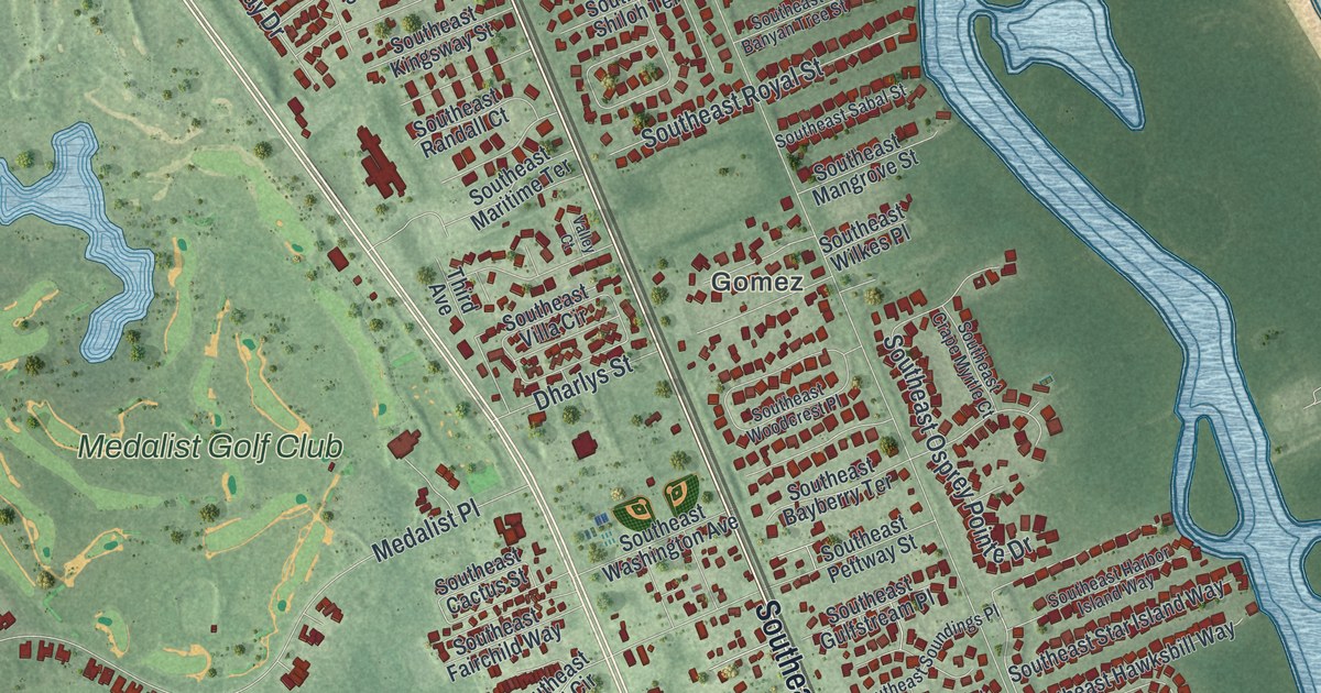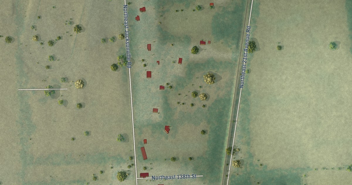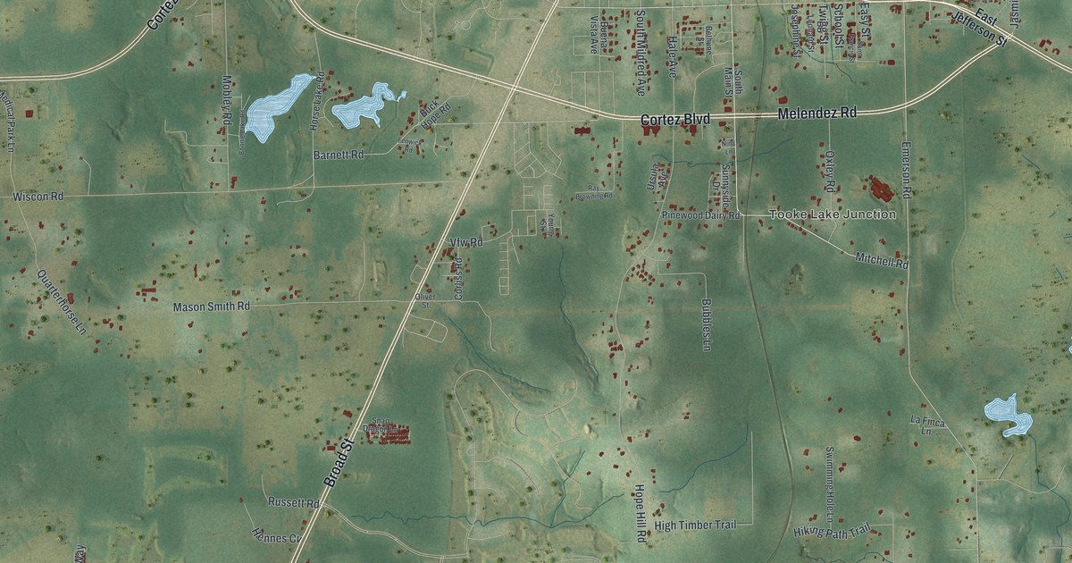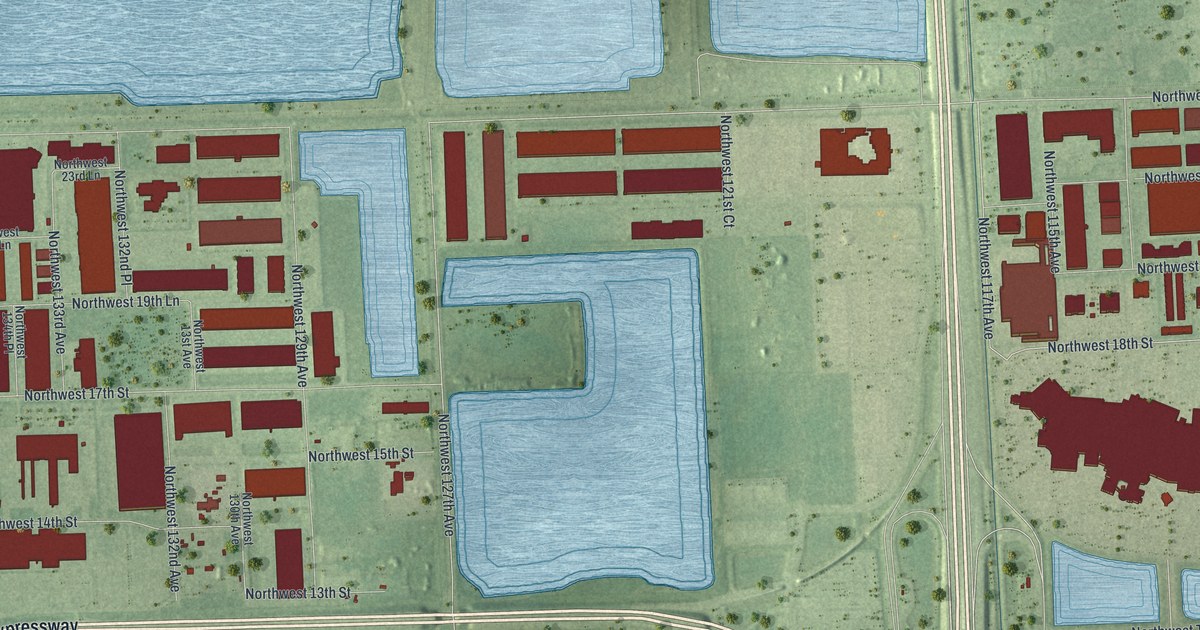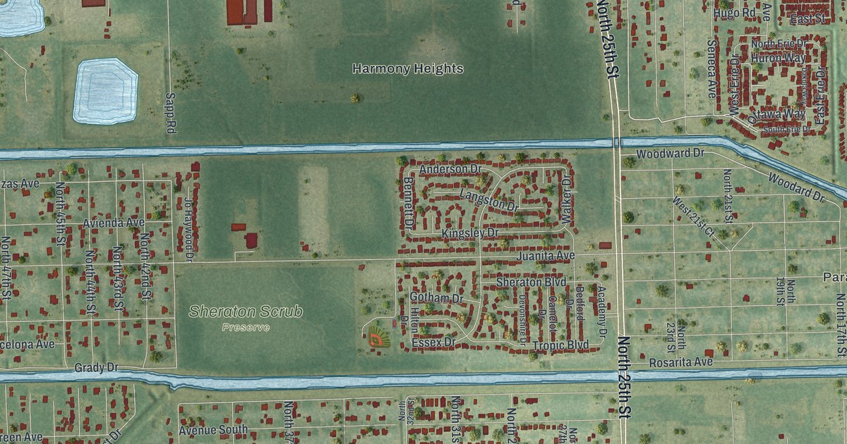
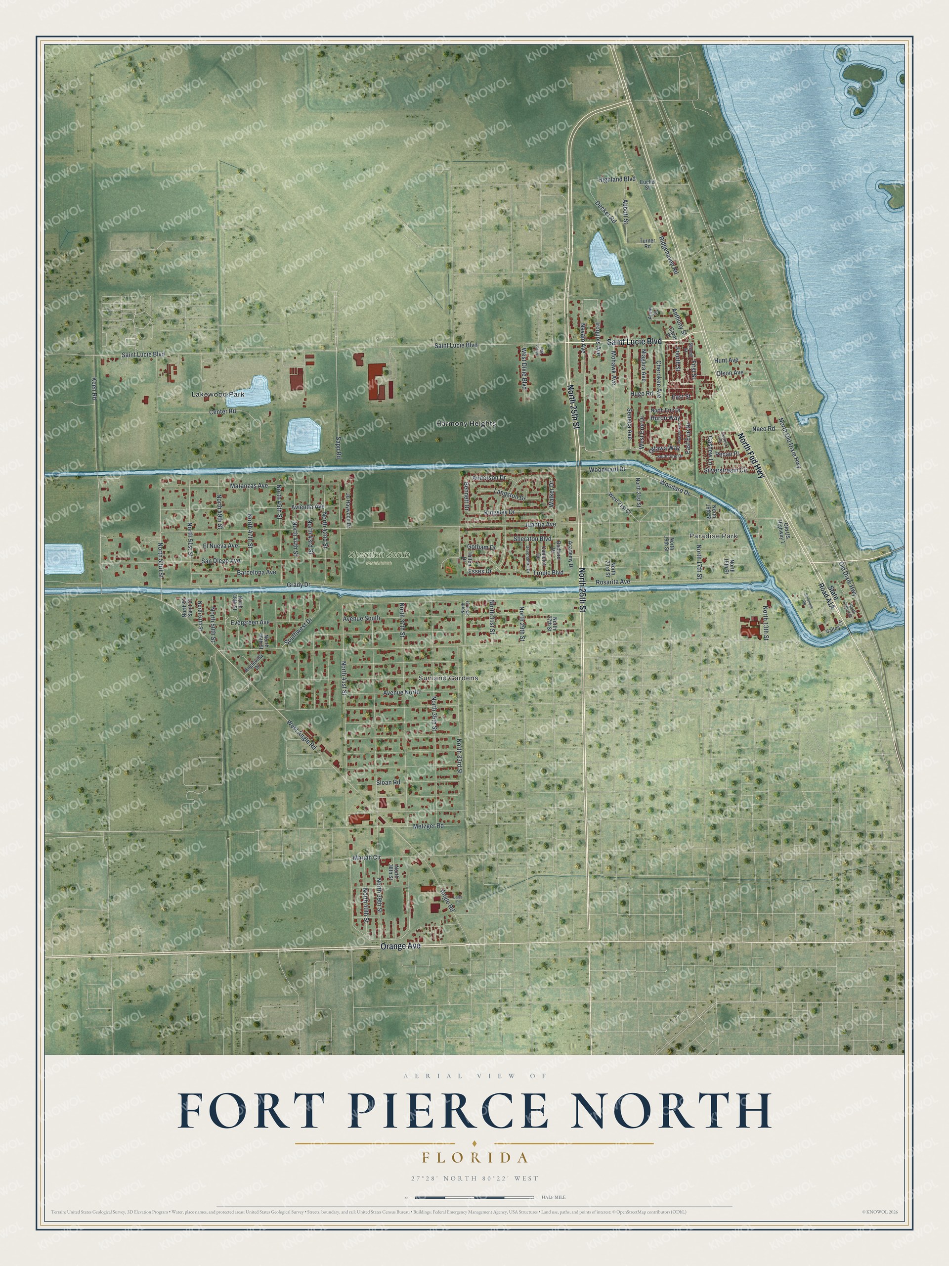
This beautifully detailed map of Fort Pierce North, Florida was created in 2026 using aerial imagery combined with modern topographical, census, street and landmark data. It’s a one-of-a-kind view of Fort Pierce North that combines accurate data with a vintage aesthetic. The map shows every building in its true location, many of the roads carry their names, and the shaded topographic relief shows the shape of the land.
Explore an aerial view of Fort Pierce North, Florida
On the map you’ll find Paradise Park, Sunland Gardens, Sheraton Scrub Preserve, Harmony Heights, and Lakewood Park, along with Saint Lucie Boulevard, North 25th Street, North Fed Highway, Orange Avenue, Navajo Avenue, North 37th Street, Angle Road, and more. If you look closely you can even find your house accurately drawn in its correct location. Zoom in on the preview to look for yours.
Did You Know?
Casa Caprona was finished in 1926. It was meant to be the centerpiece of San Lucie Plaza, a winter community planned during the Florida Land Boom. The plaza never came to be, but in 1928 Alice Binney of Binney Crayola bought the building and named it for nearby Fort Capron. Her daughter, Dorothy Binney Palmer, drew artists and Metropolitan Opera stars to the Casa. During World War II it housed the families of Navy officers in the new underwater demolition training on Hutchinson Island. That's from the National Register of Historic Places.
Take a closer look at the Fort Pierce North map
Names on this map
These names are printed on this map.
Places: Paradise Park, Sunland Gardens, Sheraton Scrub Preserve, Harmony Heights and Lakewood Park.
Streets and roads: Saint Lucie Boulevard, North 25th Street, North Fed Highway, Orange Avenue, Navajo Avenue, North 37th Street, Angle Road, West Erie Drive, North 53rd Street, Matanzas Avenue, North 33rd Street, Essex Drive.
More street names, A to Z
Abbott Street, Academy Drive, Anderson Drive, Anglevilla Drive, Anne Street, Anthony Street, Avenue North, Avenue South, Avienda Avenue, Barcelona Avenue, Bedford Drive, Bennett Drive, Camelot Drive, Carol Place, Cashew Lane, Center Road, Cherokee Avenue, Dakota Way, Dales Place, Decker Road, Devonshire Drive, East Erie Drive, East Street, El Nueva Avenue, Euclid Street, Evergreen Avenue, First Street, Fourth Street, Gotham Drive, Grady Drive, Harson Way, Highland Boulevard, Hilton Drive, Hugo Road, Hunt Avenue, Huron Way, Iroquois Avenue, Jo Haywood Drive, Juanita Avenue, Keen Road, Kingsley Drive, Langston Drive, Mariah Circle, Metzger Road, Mohawk Avenue, Naco Road, Niagara Avenue, North 13th Street, North 15th Street, North 16th Street, North 17th Street, North 19th Street, North 21st Street, North 23rd Street, North 27th Street, North 29th Street, North 31st Street, North 32nd Street, North 35th Street, North 38th Street, North 39th Street, North 40th Street, North 41st Street, North 42nd Street, North 43rd Street, North 44th Street, North 45th Street, North 46th Street, North 47th Street, North 48th Street, North 49th Street, North 50th Street, North 51 Saint Court, North 51st Street, North 51th Street, North Erie Drive, North Old Dixie Highway, North Third Street, Old Dixie Highway, Old US Highway 1, Olson Avenue, Ottawa Way, Pecan Place, Ridgehaven Road, Rosarita Avenue, San Diego Avenue, Sandridge Road, Sapp Road, Second Street, Seneca Avenue, Sheraton Boulevard, Silverstream Circle, Skylock Court, Sloan Road, South Erie Drive, Southwest Drive, Tropic Boulevard, Turner Road, Valley Lane, Walker Drive, West 21st Court, West Angle Road, West Dixie Boulevard, Woodard Drive, Woodward Drive.
See it on a wall
The Fort Pierce North map as a framed print. Swipe for more.


This beautifully detailed map of Fort Pierce North makes an attractive addition to your office, library, or den, and it can even be used to teach children the geography and history of the area. It also makes a great gift for anyone who grew up in Fort Pierce North or moved away. When you’re done exploring, click here to get your copy of the Fort Pierce North map.