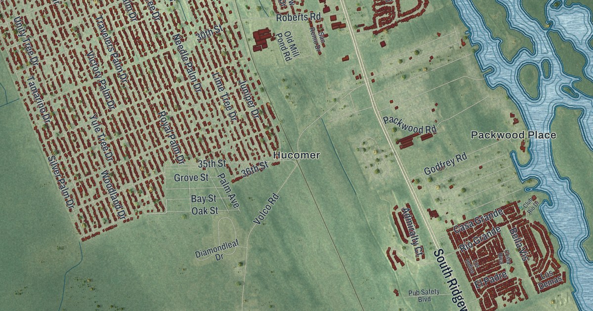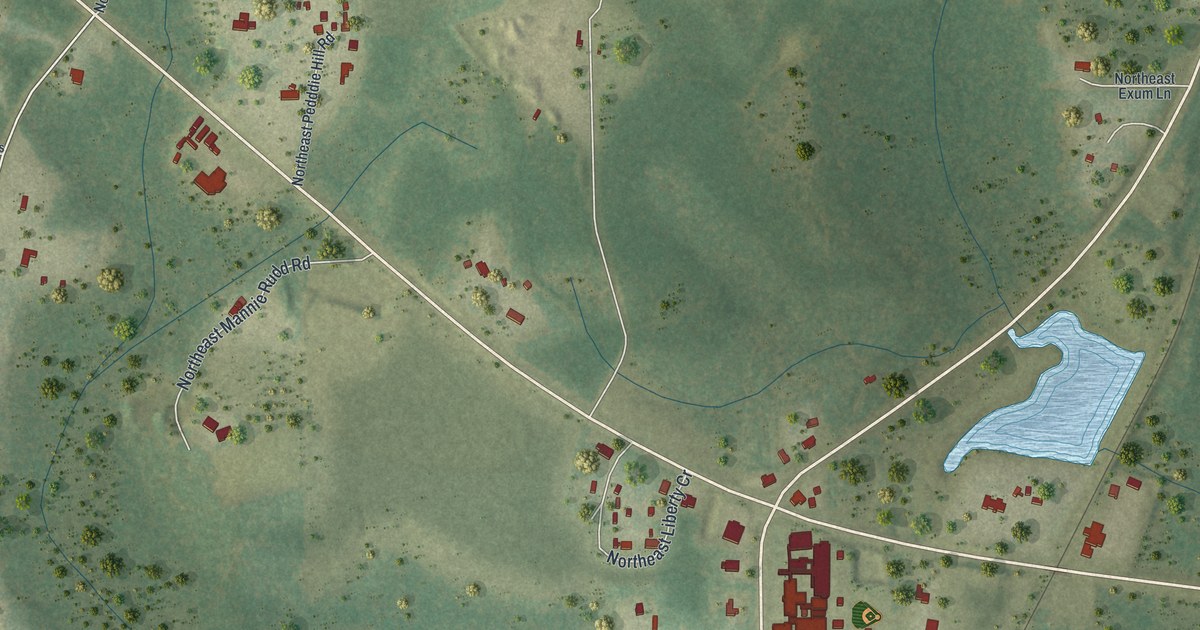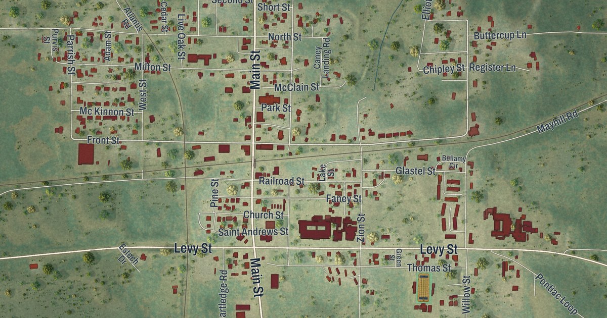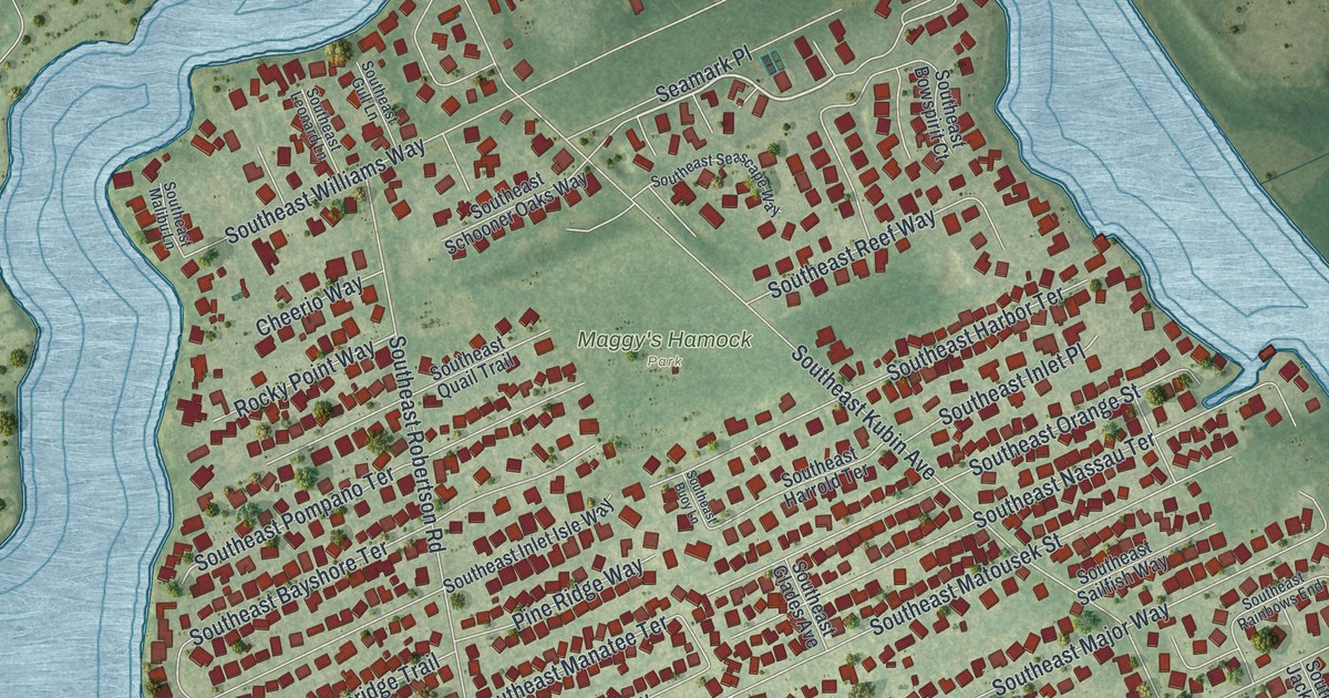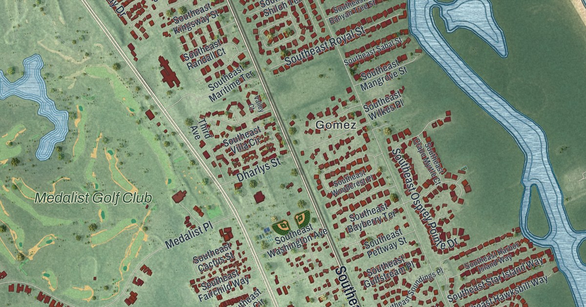
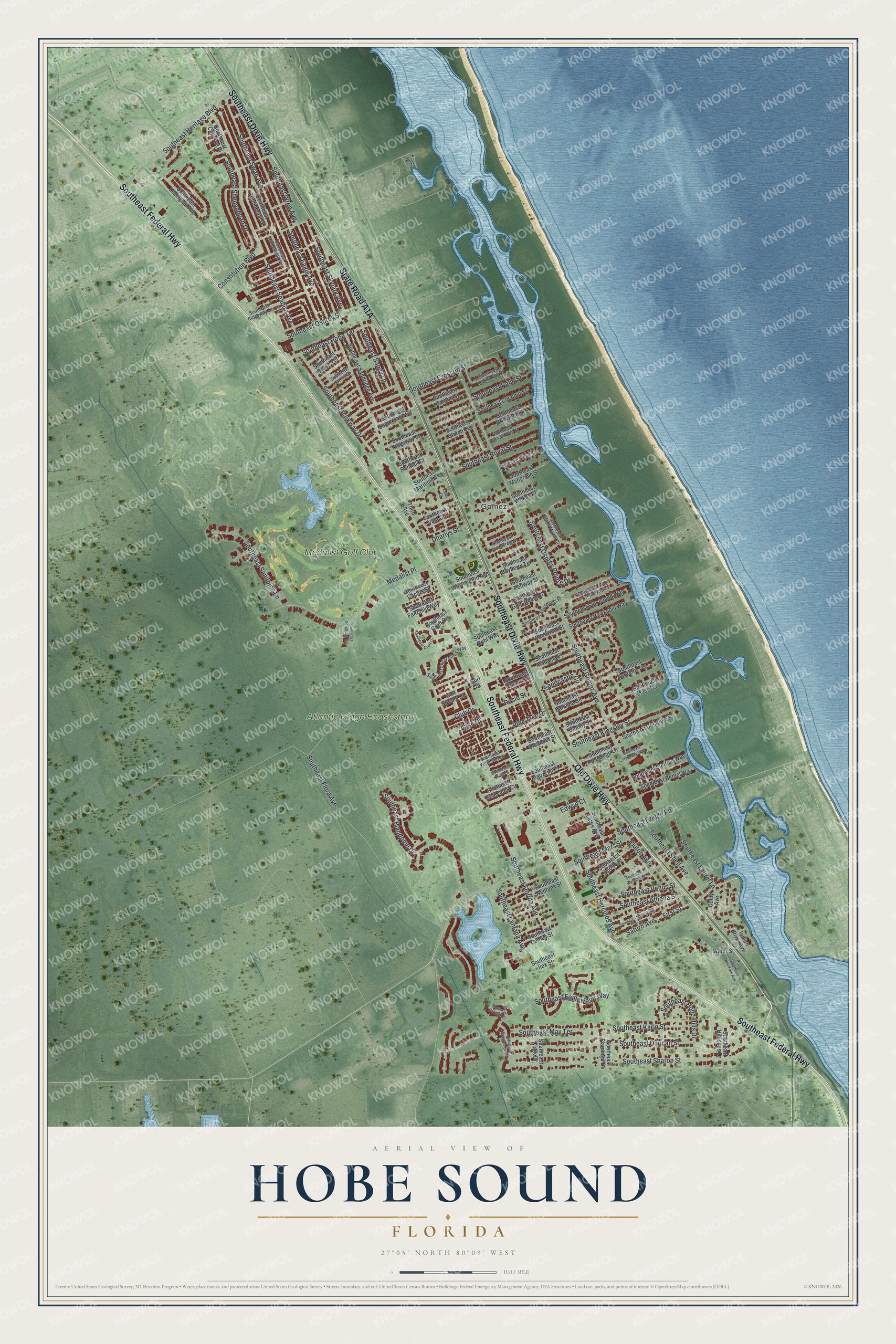
This beautifully detailed map of Hobe Sound, Florida was created in 2026 using aerial imagery combined with modern topographical, census, street and landmark data. It’s a one-of-a-kind view of Hobe Sound that combines accurate data with a vintage aesthetic. The map shows every building in its true location, many of the roads carry their names, and the shaded topographic relief shows the shape of the land.
Explore an aerial view of Hobe Sound, Florida
On the map you’ll find Gomez, Atlantic Ridge Ecosystem, and Medalist Golf Club, along with State Road A1A, Southeast Federal Highway, Southeast Dixie Highway, Old Dixie Highway, First Street, Saturn Avenue, Constitution Boulevard, Southeast Gomez Avenue, Southeast Eagle Avenue, and more. If you look closely you can even find your house accurately drawn in its correct location. Zoom in on the preview to look for yours.
Take a closer look at the Hobe Sound map
Names on this map
These names are printed on this map.
Places: Gomez, Atlantic Ridge Ecosystem and Medalist Golf Club.
Streets and roads: Southeast Federal Highway, Southeast Dixie Highway, Old Dixie Highway, First Street, Saturn Avenue, Constitution Boulevard, Southeast Gomez Avenue, Southeast Eagle Avenue, Southeast Flora Avenue, Southeast Bridge Road, Southeast Eaglewood Way, Southeast Plandome Drive.
More street names, A to Z
Club Drive, Colby Avenue, Dharlys Street, Edwyn Court, Gulf Stream Drive, Indian River Avenue, Lake Drive, Medalist Place, Pine Tree Drive, Plutos Avenue, Rosie Street, Sandcastle Circle, Southeast Alabama Place, Southeast Algozzini Place, Southeast Apollo Street, Southeast Athena Street, Southeast Bahama Circle, Southeast Banyan Tree Street, Southeast Bayberry Terrace, Southeast Berwick Court, Southeast Bethel Way, Southeast Bruce Terrace, Southeast Cactus Street, Southeast Carlton Street, Southeast Clark Drive, Southeast Coconut Street, Southeast Colony Street, Southeast Comus Street, Southeast Concord Place, Southeast Continental Drive, Southeast Crape Myrtle Court, Southeast Croft Circle, Southeast Croft Court, Southeast Crooked Stick Lane, Southeast Crossrip Street, Southeast Delafield Street, Southeast Diane Street, Southeast Driftwood Street, Southeast Duncan Street, Southeast Fairchild Way, Southeast Flamingo Drive, Southeast Florida Avenue, Southeast Gulfstream Place, Southeast Harbor Island Way, Southeast Harmony Way, Southeast Hawksbill Way, Southeast Hercules Avenue, Southeast Heritage Boulevard, Southeast Hibiscus Drive, Southeast Hobe Hills Drive, Southeast Hobe Terrace, Southeast Homestead Avenue, Southeast Ilex Street, Southeast James Street, Southeast Karin Street, Southeast Kingsley Street, Southeast Kingsway Street, Southeast Lantana Avenue, Southeast Lares Avenue, Southeast Laurel Lane, Southeast Lexington Avenue, Southeast Mangrove Street, Southeast Marina Bay Drive, Southeast Maritime Terrace, Southeast Mars Street, Southeast Mast Terrace, Southeast May Terrace, Southeast Mercury Street, Southeast Neptune Street, Southeast New York Avenue, Southeast Oleander Street, Southeast Olympus Street, Southeast Osprey Pointe Drive, Southeast Osprey Street, Southeast Palm Street, Southeast Parkway Drive, Southeast Pettway Street, Southeast Pine Cone Lane, Southeast Randall Court, Southeast Ridgeway Terrace, Southeast Rohl Way, Southeast Royal Street, Southeast Sabal Street, Southeast Sandpine Lane, Southeast Sandridge Avenue, Southeast Sandy Lane, Southeast Scrub Jay Lane, Southeast Seabird Avenue, Southeast Sea Pines Circle, Southeast Second Street, Southeast Sharon Street, Southeast Shell Avenue, Southeast Shenandoah Drive, Southeast Shiloh Terrace, Southeast Skylark Avenue, Southeast Soundings Place, Southeast Star Island Way, Southeast Sugar Pines Way, Southeast Sugar Sand Circle, Southeast Sunrise Way, Southeast Swan Avenue, Southeast Venus Street, Southeast Villa Circle, Southeast Washington Avenue, Southeast Wilkes Place, Southeast Windham Lane, Southeast Woodcrest Place, Southeast Woodwind Street, Southeast Wren Avenue, Southeast Yardarm Terrace, Surf Street, Third Avenue, Valley Court, Water Street.
See it on a wall
The Hobe Sound map as a framed print. Swipe for more.


This beautifully detailed map of Hobe Sound makes an attractive addition to your office, library, or den, and it can even be used to teach children the geography and history of the area. It also makes a great gift for someone who left Hobe Sound and still calls it home. When you’re done exploring, click here to get your copy of the Hobe Sound map.