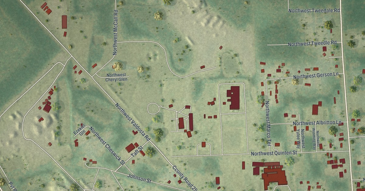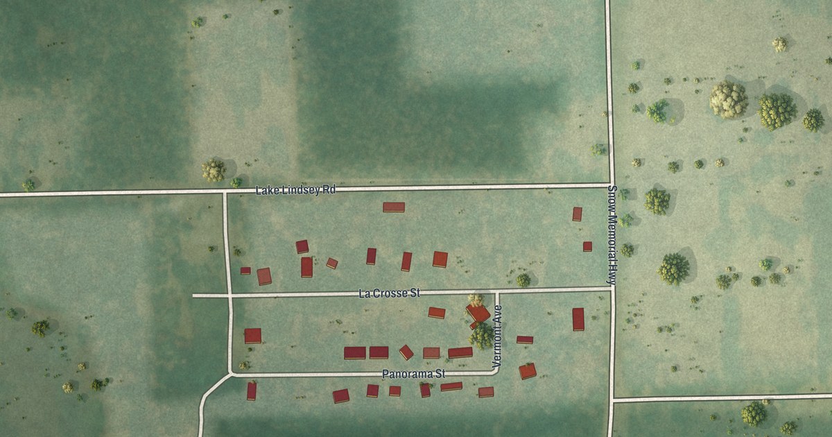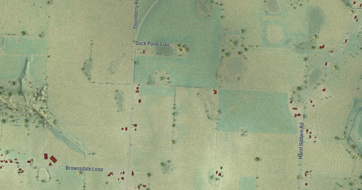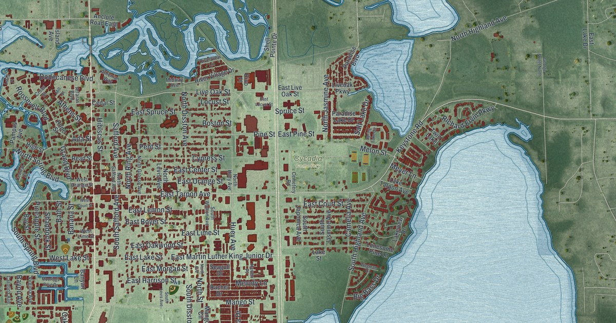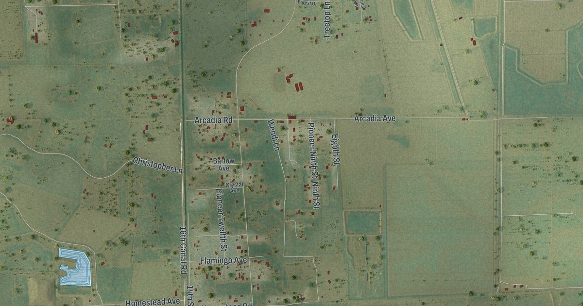
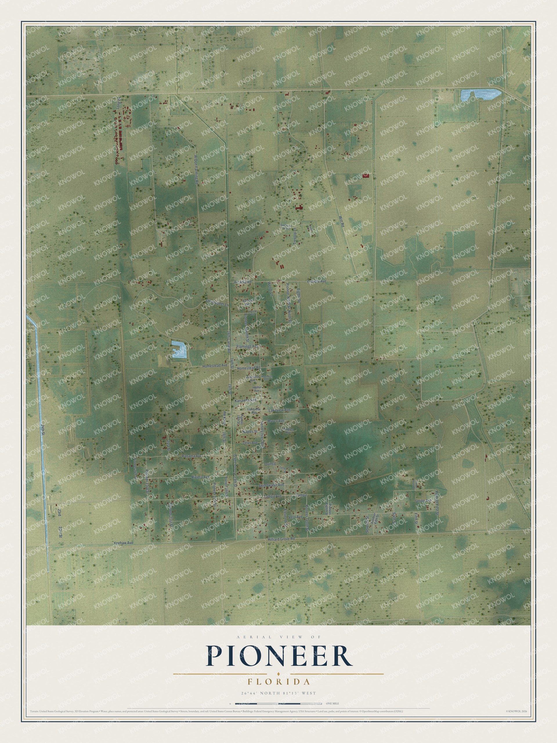
This beautifully detailed map of Pioneer, Florida was created in 2026 using aerial imagery combined with modern topographical, census, street and landmark data. It's a modern aerial view of Pioneer in Hendry County, Florida, that combines modern data with a vintage aesthetic. The roads feature printed names, and if you look closely you can find your exact house accurately shown in its correct location.
Explore an aerial view of Pioneer, Florida
On this map you'll find Tampa Avenue, 16th Street, Tampa, Riviera Avenue, 16th Canal Road, Rock Road, 13th Street, 23rd, Witt Road, Arcadia Avenue, Sixth Street, Yeehaw Avenue, and more. Each red shape is a building, so zoom in on the preview and look for yours.
Pioneer has a story worth telling. When Hurricane Wilma crossed south Florida in October 2005, state health officials named Hendry County the hardest hit area, and Pioneer Plantation was one of two communities of special concern. Eight days after the storm, health teams from Florida, North Carolina and the CDC went door to door there with paper maps to ask families what they needed. Most families there had already received food, water, ice or shelter, and nearly half the homes had little or no damage. That's from the CDC Morbidity and Mortality Weekly Report.
Pioneer is a community in Hendry County. The Census Bureau counted 752 people here in 2020.
Take a closer look at the Pioneer map
Names on this map
These names are printed on this map.
Streets and roads: Tampa Avenue, 16th Street, Tampa, Riviera Avenue, 16th Canal Road, Rock Road, 13th Street, 23rd, Witt Road, Arcadia Avenue, Sixth Street, Yeehaw Avenue.
More street names, A to Z
14th Street, 15th Street, 21st Street, 23rd Street, 24th Street, Al Don Farming Road, Arcadia Road, Bartow Avenue, Christopher Lane, Crystal Avenue, Eighth Street, Eleventh Street, Fifth Street, Flamingo Avenue, Forest Lane, Greenwood Forest Drive, Hendry Isles Boulevard, Hilliard Grove Road, Homestead Avenue, Homestead Road, Inverness Avenue, Inverness East, Jupiter Avenue, Kanawha Avenue, Lakeveiw Avenue, Lakeview Avenue, Long Drive, Marco Avenue, Naples Avenue, Naples Street, Ninth Street, Otter Avenue, Panama Avenue, Pioneer 13th Street, Pioneer 14th Street, Pioneer 16th Street, Pioneer 17th Street, Pioneer 21st Street, Pioneer 23rd Street, Pioneer 24th Street, Pioneer Eighth Street, Pioneer Fifth Street, Pioneer First Street, Pioneer Ninth Street, Pioneer Second Street, Pioneer Tenth Street, Pioneer Twelfth Street, Quincy, Seventh Street, Sweetwater Avenue, Tenth Street, Treetop Lane, Union Avenue, Vero Avenue, Wendi Lane.
See it on a wall
The Pioneer map as a framed print. Swipe for more.


Created by KNOWOL in 2026. The buildings are small red shapes, the roads carry their printed names, and shaded relief shows the shape of the land. The title panel reads "AERIAL VIEW OF PIONEER, FLORIDA" with 26°44' NORTH 81°13' WEST.
It looks right in a kitchen, an office or a den, and it's a gift for anyone who grew up in Pioneer or moved away. Open the preview and find your street. See sizes and frames for the Pioneer map.