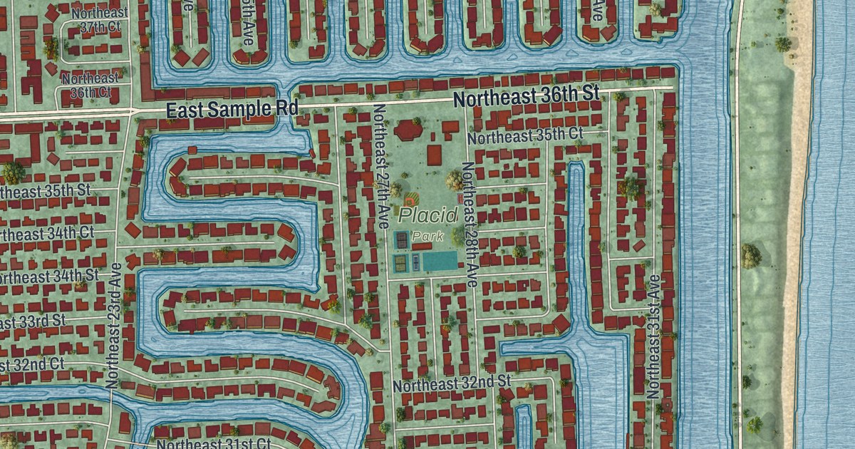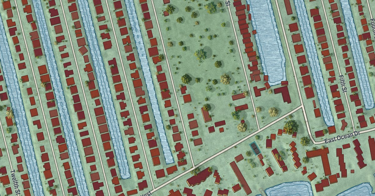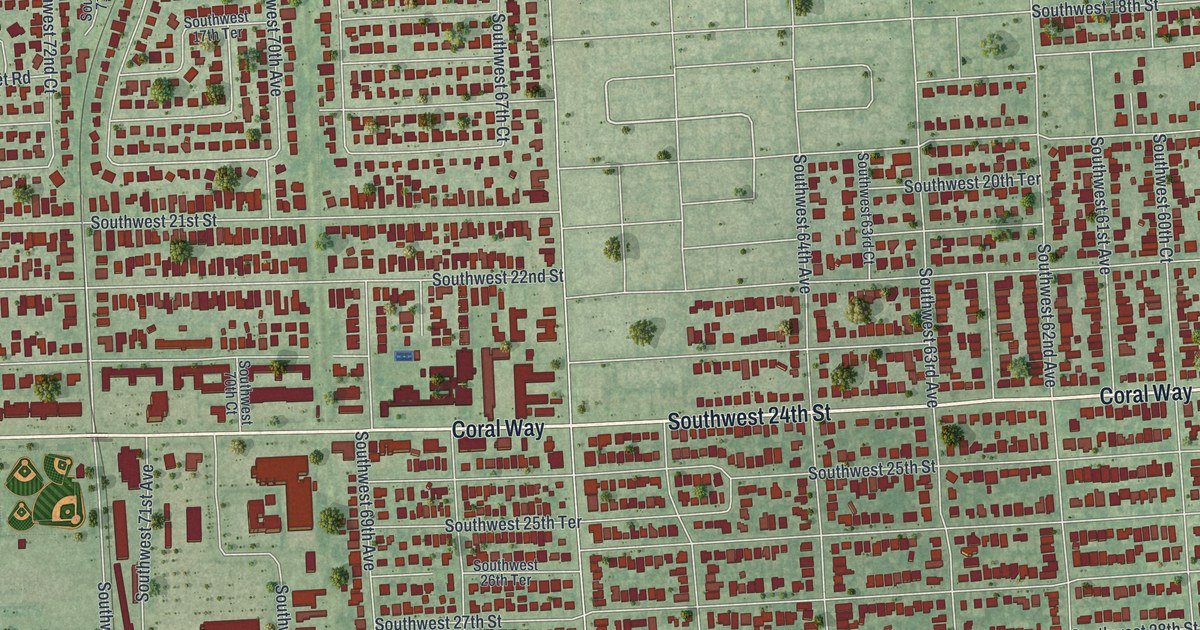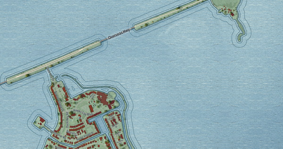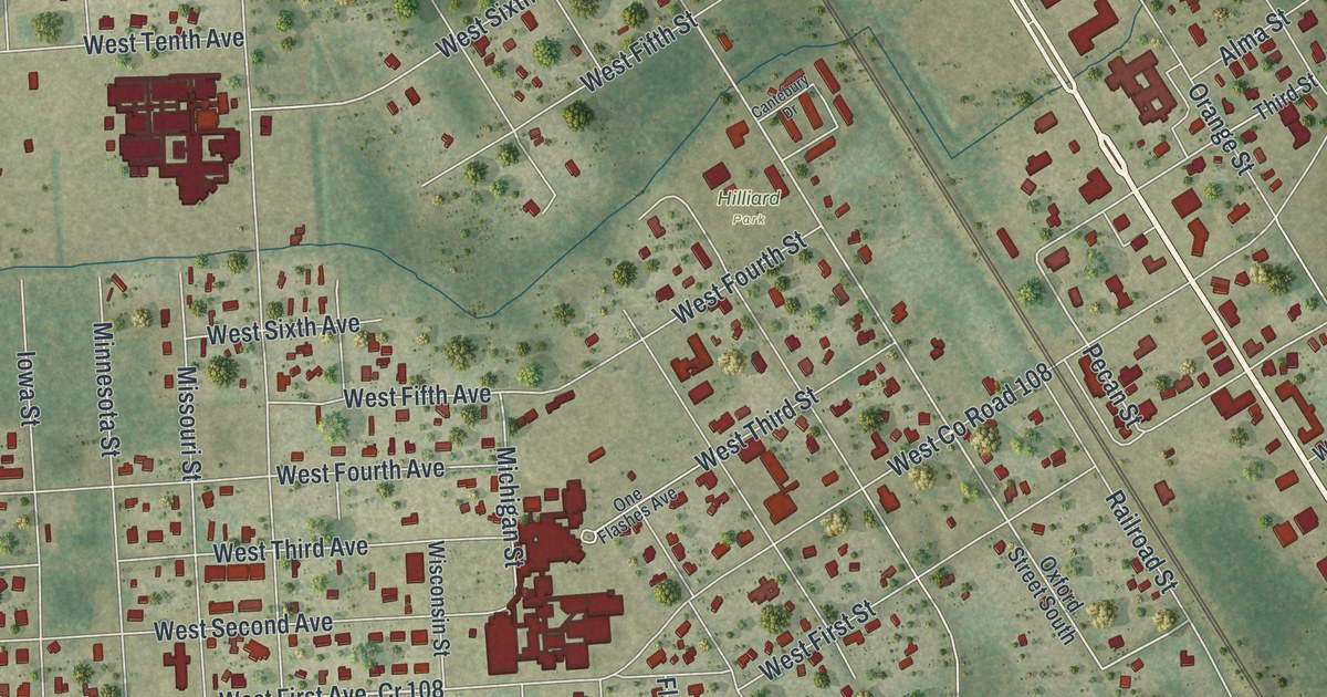
This beautifully detailed map of Hilliard, Florida was created in 2026 using aerial imagery combined with modern topographical, census, street and landmark data. It’s a one-of-a-kind view of Hilliard that combines accurate data with a vintage aesthetic. The map shows every building in its true location, many of the roads carry their names, and the shaded topographic relief shows the shape of the land.
Explore an aerial view of Hilliard, Florida
On the map you’ll find Hilliard Park and Kentucky, along with North Kings Road, Henry Smith Road, Georgia Street, Bay Road, West Twelfth Street, Railroad Street, Oxford Street, Ingham Road, Ruby Drive, West 14th Avenue, and more. If you look closely you can even find your house accurately drawn in its correct location. Zoom in on the preview to look for yours.
Take a closer look at the Hilliard map
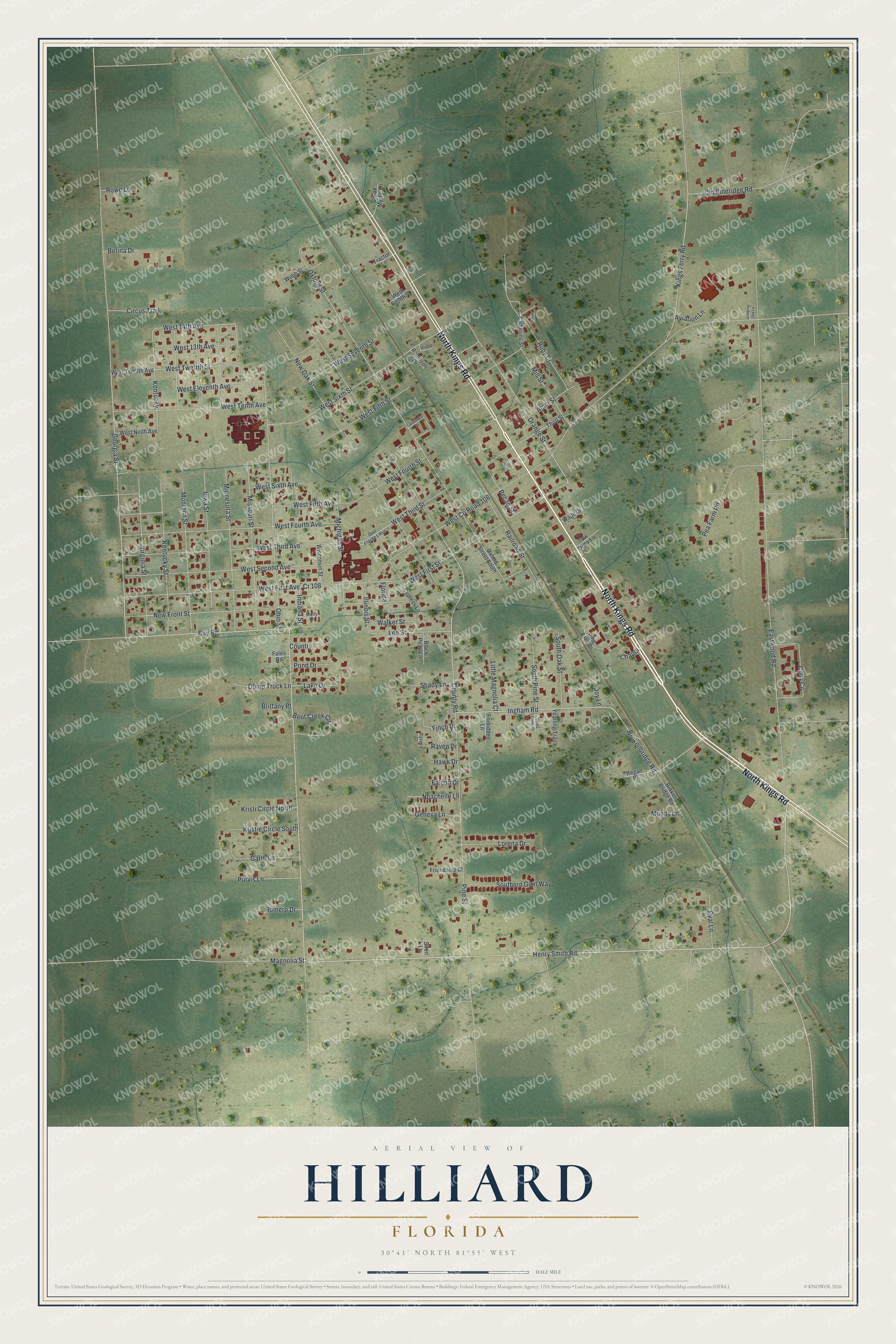
Names on this map
These names are printed on this map.
Places: Hilliard Park.
Streets and roads: North Kings Road, Henry Smith Road, Cr 108, Georgia Street, Bay Road, West Twelfth Street, Railroad Street, Kentucky, Oxford Street, Ingham Road, Ruby Drive, West 14th Avenue.
More street names, A to Z
Alma Street, Arnold Drive, Aviation Lane, Bent Creek Circle, Betina Drive, Black Pearl Lane, Brittany Place, Brokenbridge Road, Broken Bridge Road, Cantebury Drive, Catherine Street, Chapel, Circus Trail, Cody Circle, Country, County Road, Crepe Myrtle Lane, Cross Creek Drive, Cypress Lane, Dump Truck Lane, Dyal Lane, Eastwood Road, Falcon Drive, Fales Road, Finch Drive, Florida, Forbidden Lane, Friendship Court, Garth Lane, Geneva Lane, Hawk Drive, Illinois Street, Indiana Street, Iowa Street, Joy Lane, Jumping Jax Lane, Kentucky Street, Kings Ferry Road, Kristi Circle North, Kristie Circle South, Lake Drive, Lee Street, Little Magnolia Court, Lorena Drive, Magnolia Street, Michigan Street, Mill Street, Minnesota Street, Missouri Street, Molly Lane, Montana Street, Moody Lane, Neachelle Lane, New Front Street, New Oak Street, Ohio Street, Old Pineridge Road, One Flashes Avenue, Orange Street, Oxford Street South, Pea Farm Road, Pecan Street, Pine Street, Pine Tree Drive, Pond Drive, Purvis Lane, Raven Court, Raven Drive, Regan Place, Robinson Drive, Romero Drive, Rowe Lane, Shady Lane, Siren Lane, Southern Glen Way, South Oak Street, South Pine Street, Third Street, Tow Truck Lane, Tractor Lane, Virginia Street, Wade Drive, Walker Street, Webb Street, West 13th Avenue, West County Road 108, West Eighth Street, West Eleventh Avenue, West Fifth Avenue, West Fifth Street, West First Avenue, West First Street, West Fourth Avenue, West Fourth Street, West Ninth Avenue, West Second Avenue, West Seventh Street, West Sixth Avenue, West Sixth Street, West Tenth Avenue, West Third Avenue, West Third Street, West Twelfth Avenue, Wisconsin Street, Yearling Trail.
See it on a wall
The Hilliard map as a framed print. Swipe for more.


This beautifully detailed map of Hilliard makes an attractive addition to your office, library, or den, and it can even be used to teach children the geography and history of the area. It also makes a great gift for anyone with Hilliard roots. When you’re done exploring, click here to get your copy of the Hilliard map.