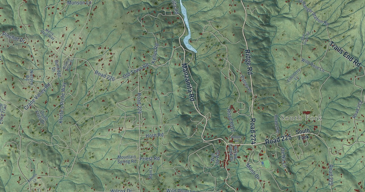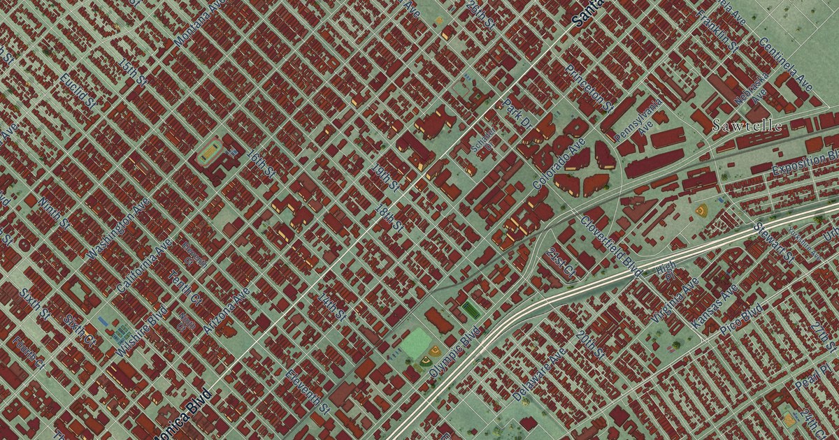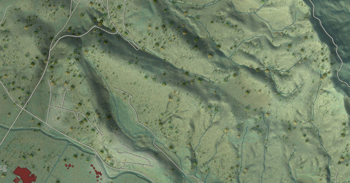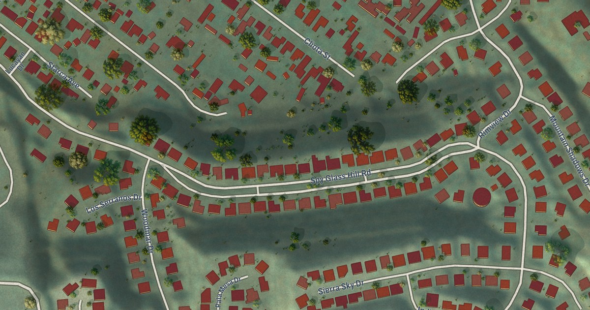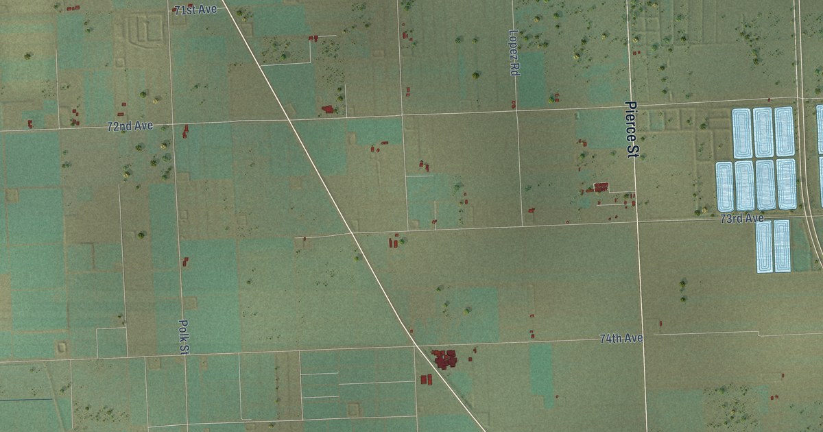
This beautifully detailed map of Oasis, California was created in 2026 using aerial imagery combined with modern topographical, census, street and landmark data. It's a modern aerial view of Oasis in Riverside County, California, that combines modern data with a vintage aesthetic. The roads feature printed names, and if you look closely you can find your exact house accurately shown in its correct location.
Explore an aerial view of Oasis, California
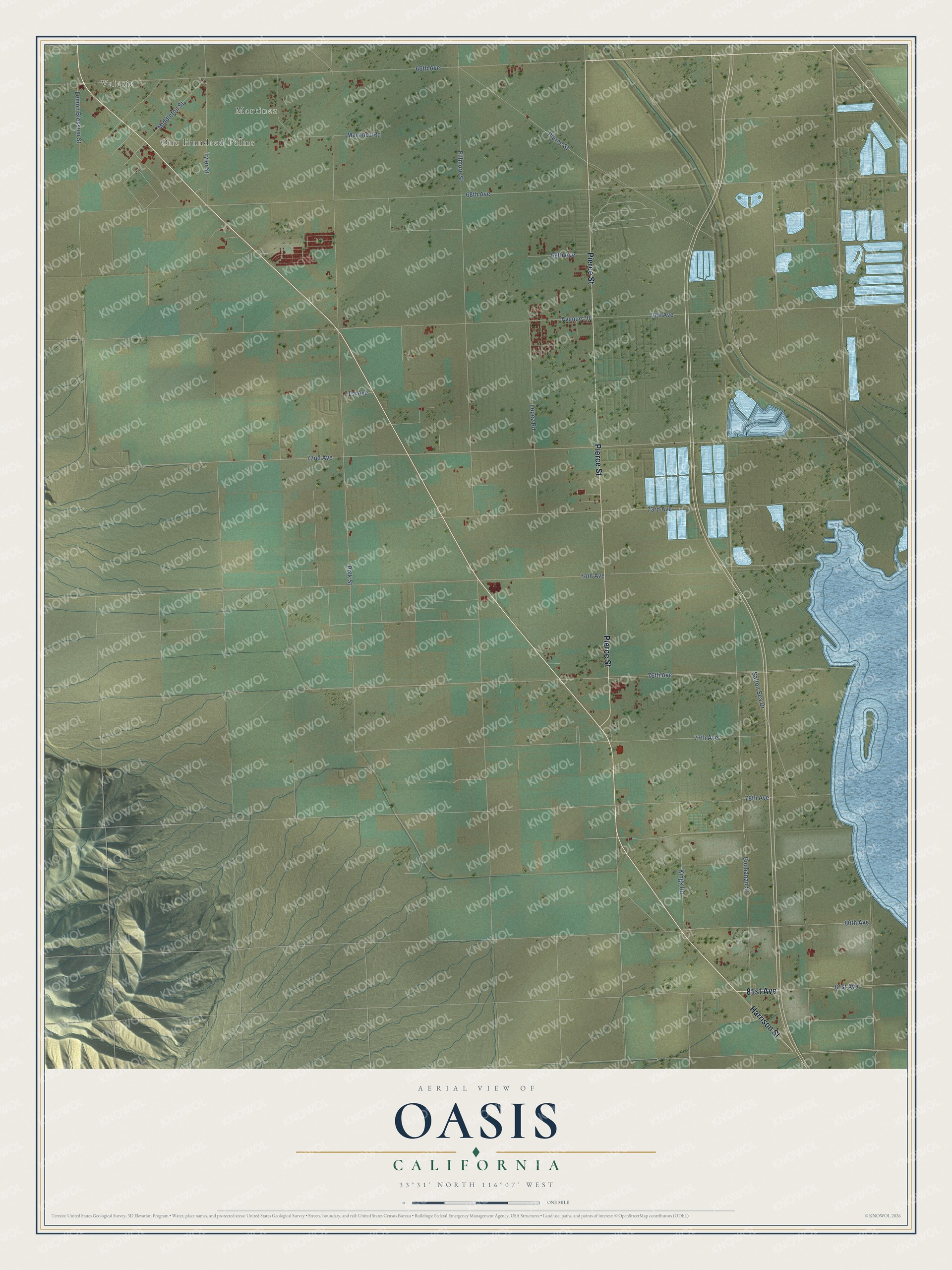
On this map you'll find Valerie, One Hundred Palms, Martinez, 81st Avenue, Pierce Street, Harrison Street, Buchanan Street, 72nd Avenue, Fillmore Street, Polk Street, 70th Avenue, 66th Avenue, and more. Each red shape is a building, so zoom in on the preview and look for yours.
Here is a piece of Oasis history. The Martinez Reservation, later called Torres-Martinez, was set aside in 1876 by order of President Grant. Its agency building, agent's quarters and school were found by the Riverside County Historical Commission to be the oldest Indian agency buildings still standing in California. People at the village there had taken up farming before 1856, when Henry Washington's survey team recorded their fields. That's from the National Register of Historic Places.
Oasis is a community in Riverside County. The Census Bureau counted 4,468 people here in 2020.
Take a closer look at the Oasis map
Names on this map
These names are printed on this map.
Places: Valerie, One Hundred Palms and Martinez.
Streets and roads: 81st Avenue, Pierce Street, Harrison Street, Buchanan Street, 72nd Avenue, Fillmore Street, Polk Street, 70th Avenue, 66th Avenue, 68th Avenue, 74th Avenue, 73rd Avenue.
More street names, A to Z
69th Avenue, 71st Avenue, 76th Avenue, 77th Avenue, 78th Avenue, 80th Avenue, Avenue 70, Kings Road, Lemon Blossom Street, Lopez Road, Martinez Road, Middleton Street, Salton Sea Drive, Tyler Street.
See it on a wall
The Oasis map as a framed print. Swipe for more.


Created by KNOWOL in 2026. The buildings are small red shapes, the roads carry their printed names, and shaded relief shows the shape of the land. The title panel reads "AERIAL VIEW OF OASIS, CALIFORNIA" with 33°31' NORTH 116°07' WEST.
It suits a den, a classroom or a front hall, and it makes a gift for anyone with Oasis roots. Open the preview and find the block you know. See sizes and frames for the Oasis map.