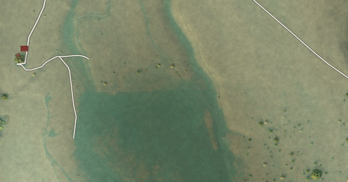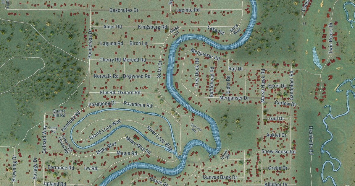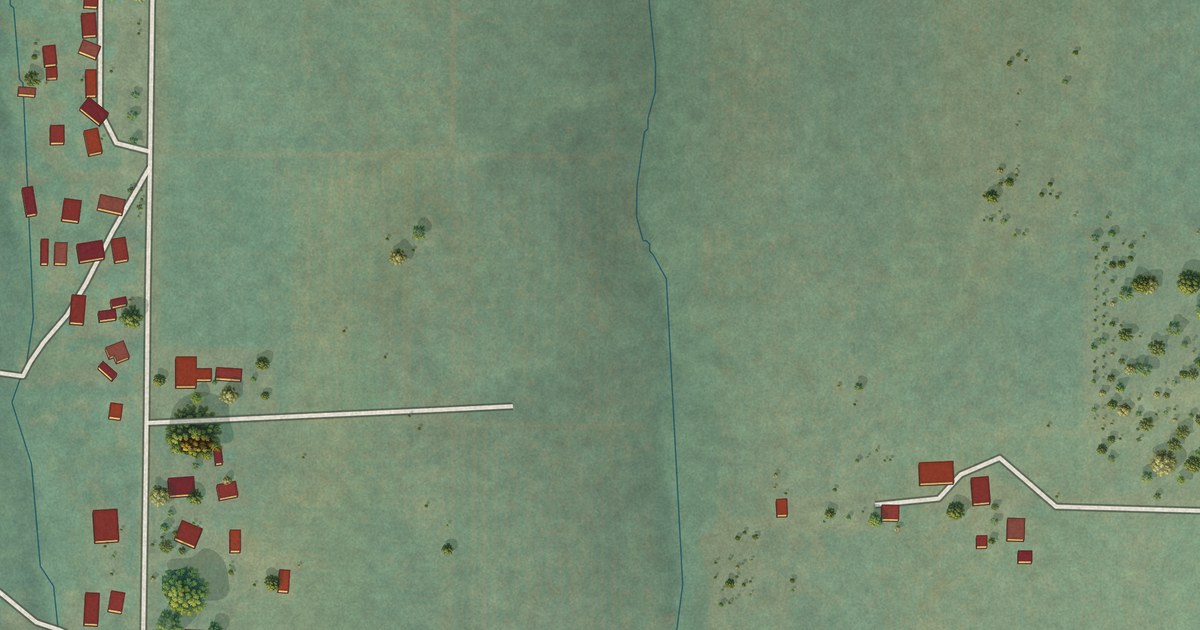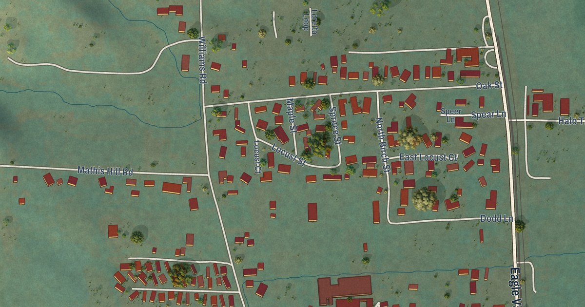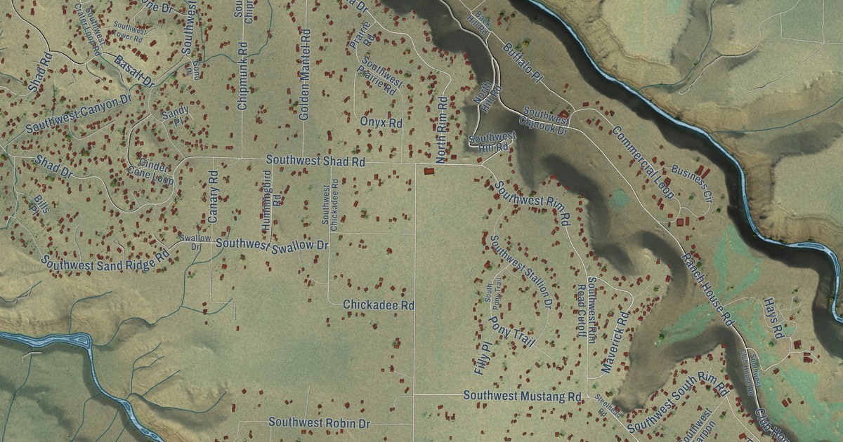
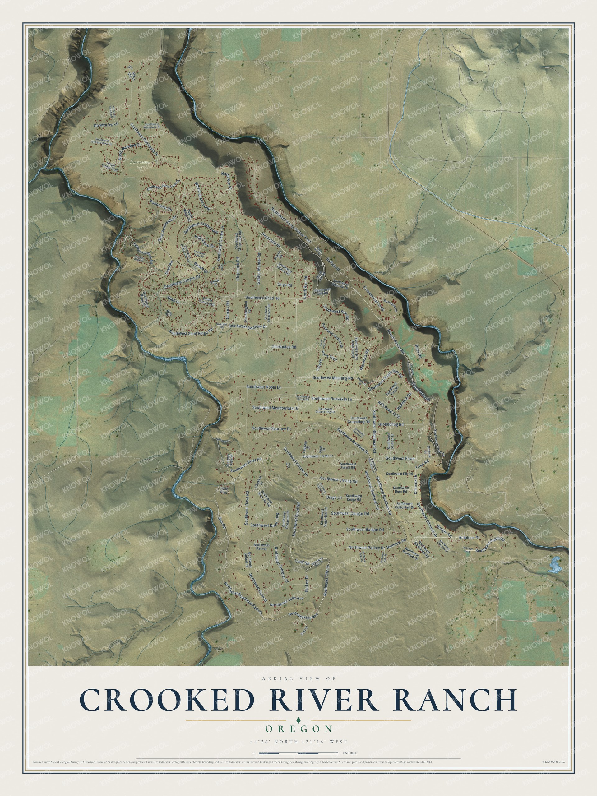
This beautifully detailed map of Crooked River Ranch, Oregon was created in 2026 using aerial imagery combined with modern topographical, census, street and landmark data. It's a modern aerial view of Crooked River Ranch in Jefferson County, Oregon, that combines modern data with a vintage aesthetic. The roads feature printed names, and if you look closely you can find your exact house accurately shown in its correct location.
Explore an aerial view of Crooked River Ranch, Oregon
On this map you'll find Panorama Park, Southwest Quail Road, Northwest Parkey Drive, Shad Road, Quail Road, Northwest 77th Drive, Northwest Ice Avenue, Southwest Rim Road, Northwest Steelhead Falls Drive, Bun Road, Southwest Chinook Drive, Southwest Steelhead Road, and more. Each red shape is a building, so zoom in on the preview and look for yours.
Crooked River Ranch has a story worth telling. Crooked River Ranch began in 1972 as a destination resort and grew into a residential community where families settled on home sites of one to five acres. With 10,000 acres and 2,646 privately owned lots, it was called the largest subdivision of its kind in Oregon. That's from the Redmond Spokesman.
Crooked River Ranch is a community in Jefferson County. The Census Bureau counted 4,912 people here in 2020.
Take a closer look at the Crooked River Ranch map
Names on this map
These names are printed on this map.
Places: Panorama Park.
Streets and roads: Southwest Quail Road, Northwest Parkey Drive, Shad Road, Quail Road, Northwest 77th Drive, Northwest Ice Avenue, Southwest Rim Road, Northwest Steelhead Falls Drive, Bun Road, Southwest Chinook Drive, Southwest Steelhead Road, Southwest Mustang Road.
More street names, A to Z
81st Street, Antelope Drive, Antelope Loop, Back Hill Road, Badger Road, Basalt Drive, Big Place, Big Sky Place, Bills Place, Boxcanyon, Buffalo Place, Business Circle, Canary Road, Canyon View Place, Chandler Ridge Place, Chickadee Road, Chinook Drive, Chipmunk Road, Chukkar Drive, Cinder Cone Loop, Club House Road, Commercial Loop, Dingo Lane, Filly Place, Fox Court, Frog Court, Geneva Vw Lp, Golden Mantel Road, Gono Place, Groundhog Road, Haddock Road, Hays Road, High Cone Drive, Hummingbird Road, Lone Pine, Maverick Road, Minnow Court, NFS Road 1178, North Hill Road, North Meadow Drive, North Rim Place, North Rim Road, Northwest 65th Street, Northwest 81st Street, Northwest Chinook Drive, Northwest Dove Street, Northwest Dylan Circle, Northwest Galena Drive, Northwest June Avenue, Northwest Parkey, Northwest Rainbow Drive, Northwest Steelhead Road, Northwest Sumpter Drive, Onyx Road, Panorama Circle, Parkey Drive, Peninsula Drive, Pony Trail, Prairie Road, Rainbow Road, Ranch House Road, Sandy Place, Scout Camp Trail, Shad Drive, South Pony Trail, Southwest Badger Road, Southwest Blue Jay Road, Southwest Buckskin Lane, Southwest Bullhead Road, Southwest Canyon Drive, Southwest Chickadee Road, Southwest Chipmunk Road, Southwest Chjnook Drive, Southwest Cinder Drive, Southwest Club House Road, Southwest Cottontail Drive, Southwest Cougar Road, Southwest Crater Loop, Southwest Crater Loop Road, Southwest Deer Road, Southwest Dingo Road, Southwest Dove Loop, Southwest Dove Road, Southwest Elk Road, Southwest Ermine Drive, Southwest Ermine Road, Southwest Fawn, Southwest Ferret Drive, Southwest Ferret Road, Southwest Geneva View Road, Southwest Groundhog Road, Southwest Ground Hog Road, Southwest Hill Road, Southwest Horny Hollow Trail, Southwest Marmot Court, Southwest Meadowlark Drive, Southwest Panorama Circle, Southwest Peninsula Drive, Southwest Perch Road, Southwest Pheasant Place, Southwest Prairie Road, Southwest Puma Road, Southwest Rainbow Drive, Southwest Rainbow Lane, Southwest Rainbow Road, Southwest Ridge Place, Southwest Rim Road Cutoff, Southwest River Road, Southwest Robin Drive, Southwest Roundup Place, Southwest Sagehen Drive, Southwest Sage Hen Road, Southwest Salmon Drive, Southwest Sand Ridge Road, Southwest Shad Road, Southwest South Rim Road, Southwest Sparrow Drive, Southwest Stallion Drive, Southwest Swallow Drive, Southwest Tarpon, Southwest Tower Road, Southwest Trout Road, Southwest Waterhole Place, Steelhead Road, Sundown Canyon Road, Swallow Drive, Tadpole Court, Trout Road, Upper Ridge Road, West Peninsula Drive, Wheat Grass Loop.
See it on a wall
The Crooked River Ranch map as a framed print. Swipe for more.


Created by KNOWOL in 2026. The buildings are small red shapes, the roads carry their printed names, and shaded relief shows the shape of the land. The title panel reads "AERIAL VIEW OF CROOKED RIVER RANCH, OREGON" with 44°26' NORTH 121°16' WEST.
It looks right in a kitchen, an office or a den, and it's a gift for anyone who grew up in Crooked River Ranch or moved away. Open the preview and find your street. See sizes and frames for the Crooked River Ranch map.