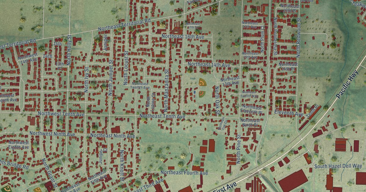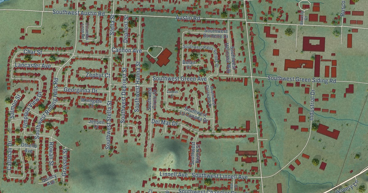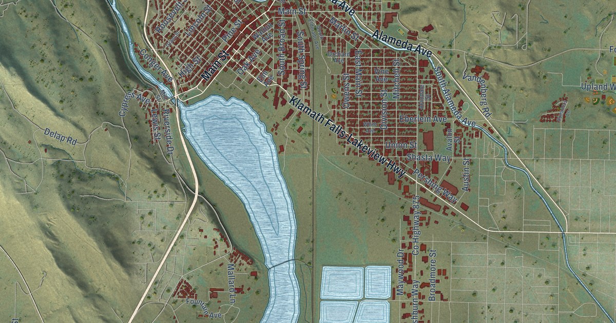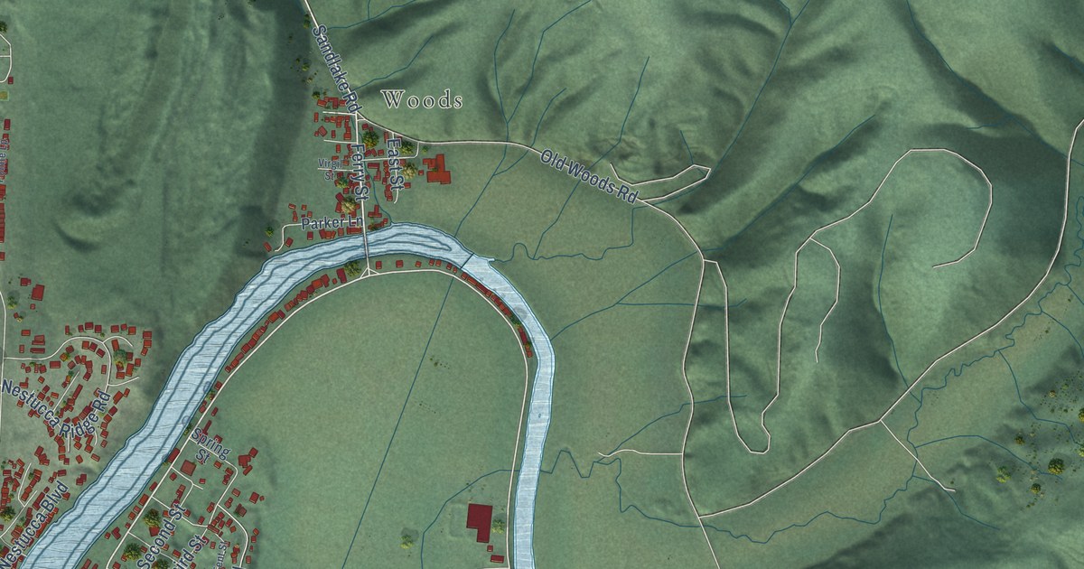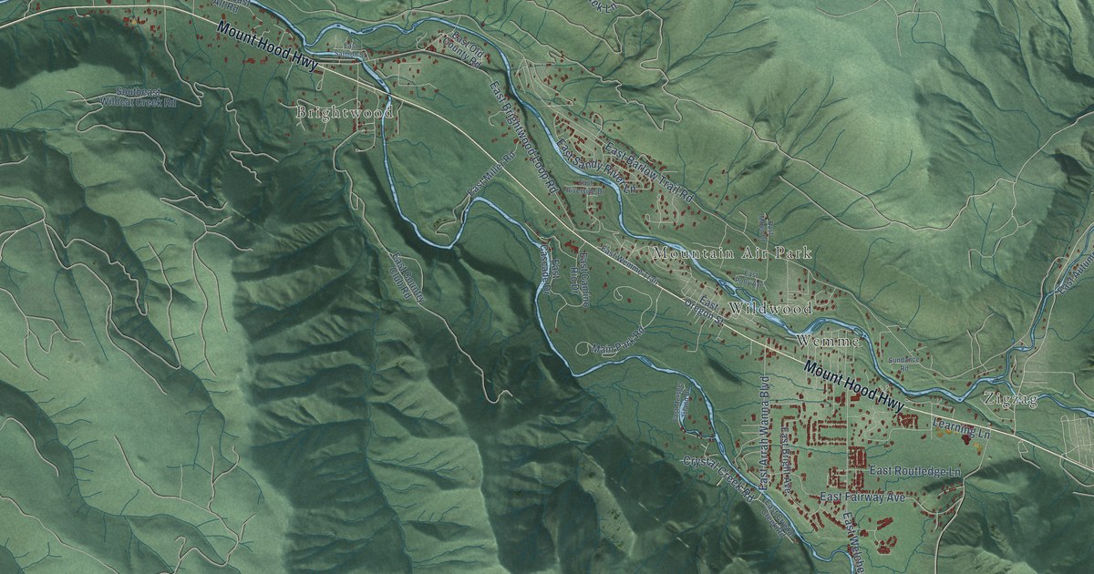
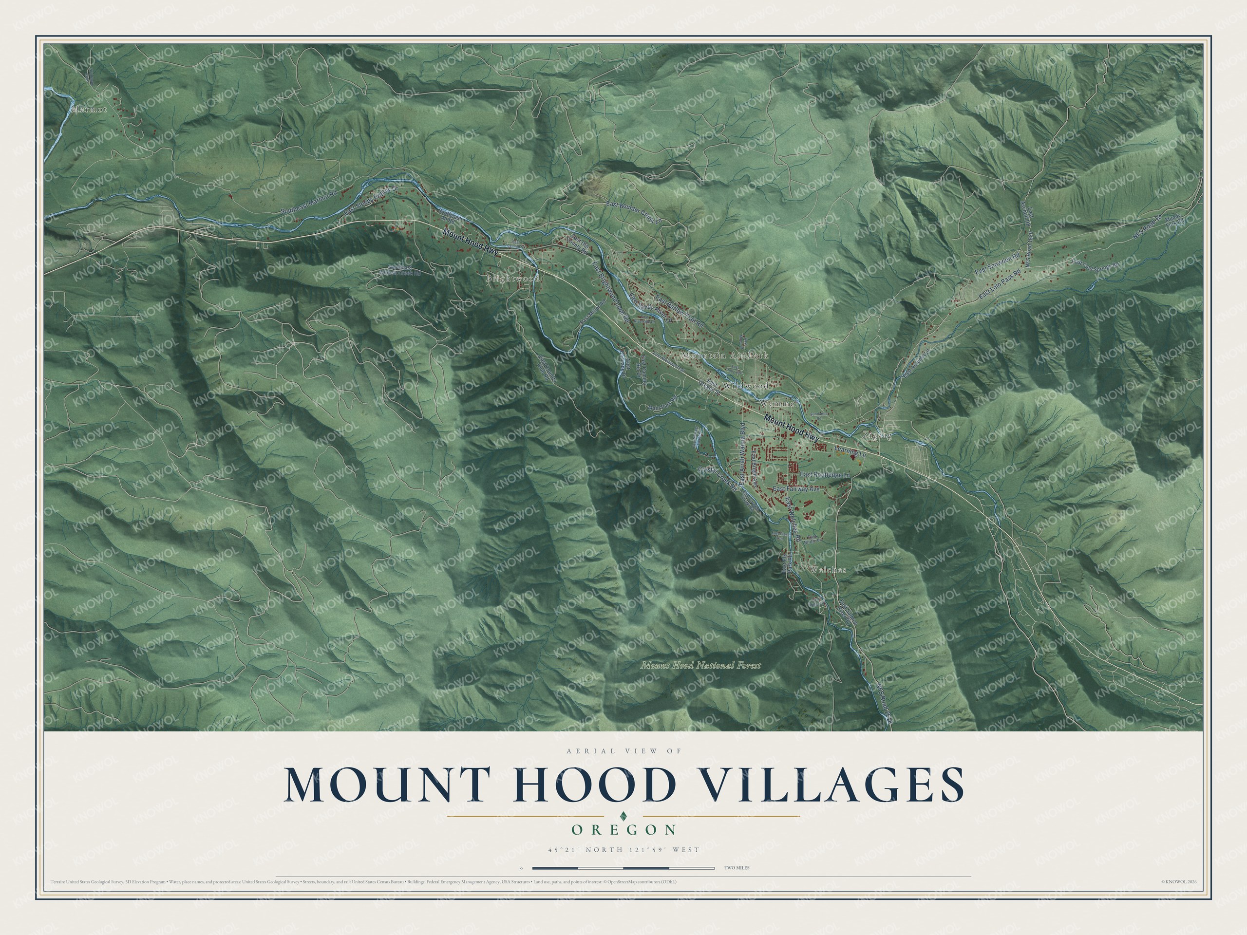
This beautifully detailed map of Mount Hood Villages, Oregon was created in 2026 using aerial imagery combined with modern topographical, census, street and landmark data. It's a modern aerial view of Mount Hood Villages in Clackamas County, Oregon, that combines modern data with a vintage aesthetic. The roads feature printed names, and if you look closely you can find your exact house accurately shown in its correct location.
Explore an aerial view of Mount Hood Villages, Oregon
On this map you'll find Marmot, Brightwood, Zigzag, Welches, Mountain Air Park, Mount Hood National Forest, Wemme, Wildwood, Mount Hood Highway, NFS Road 2618, East Arrah Wanna Boulevard, East Snowden Road, and more. Each red shape is a building, so zoom in on the preview and look for yours.
Mount Hood Villages has a story worth telling. After reaching The Dalles in 1845, Samuel Barlow and his party pioneered a road around the south side of Mount Hood. The Barlow Road opened in 1846 and gave wagon trains a land route over the Cascade Mountains. The road first passed Wildwood on the north side of the Sandy River. By 1882 it had moved to the south side, where pioneers were settling, and its wagon ruts wore deep into the sandy soil. That's from the National Register of Historic Places.
Mount Hood Villages is a community in Clackamas County. The Census Bureau counted 4,586 people here in 2020.
Take a closer look at the Mount Hood Villages map
Names on this map
These names are printed on this map.
Places: Marmot, Brightwood, Zigzag, Welches, Mountain Air Park, Mount Hood National Forest, Wemme and Wildwood.
Streets and roads: Mount Hood Highway, NFS Road 2618, East Arrah Wanna Boulevard, East Snowden Road, East Barlow Trail Road, Southeast Marmot Road, NFS Road 18, East Lolo Pass Road, East Welches Road, East Brightwood Loop Road, East Sleepy Hollow Drive, East Boulder Creek Lane.
More street names, A to Z
Crystal Creek Road, East Aschoff Road, East Autumn Lane, East Birdie Lane, East Bridge Street, East Bright Avenue, East Camino Rio Drive, East Cascade Drive, East Cold Springs Road, East Country Club Road, East Crystal Creek Road, East Elk Park Road, East Fairway Avenue, East Metsger Island Drive, East Miller Road, East Moen Court, East Old County Road, East Oregon Street, East Plaza Trail, East Polly Avenue, East Riverside Drive, East Routledge Lane, East Salmon River Road, East Salmon Street, East Sandy River Lane, East Wemme Trail, Learning Lane, Main Park Road, Muddy Fork Road, NFS Road 1820, NFS Road 2503, Southeast Alt Road, Southeast Wildcat Creek Road, Sundance Road.
See it on a wall
The Mount Hood Villages map as a framed print. Swipe for more.


Created by KNOWOL in 2026. The buildings are small red shapes, the roads carry their printed names, and shaded relief shows the shape of the land. The title panel reads "AERIAL VIEW OF MOUNT HOOD VILLAGES, OREGON" with 45°21' NORTH 121°59' WEST.
It looks right in a kitchen, an office or a den, and it's a gift for anyone who grew up in Mount Hood Villages or moved away. Open the preview and find your street. See sizes and frames for the Mount Hood Villages map.