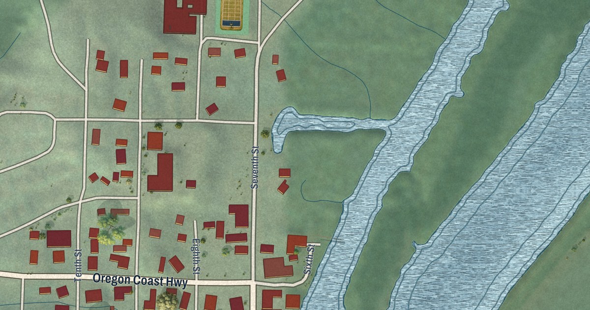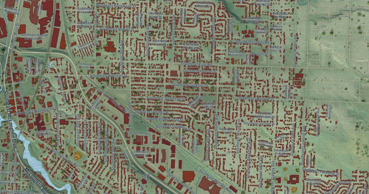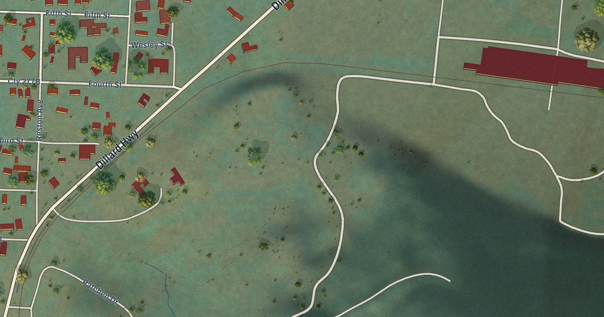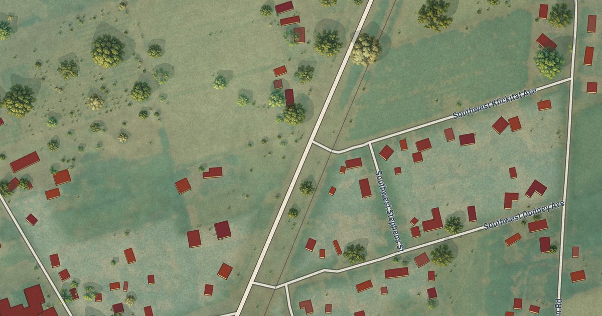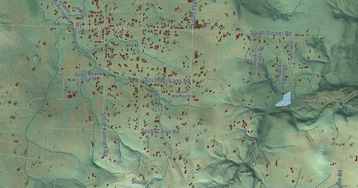
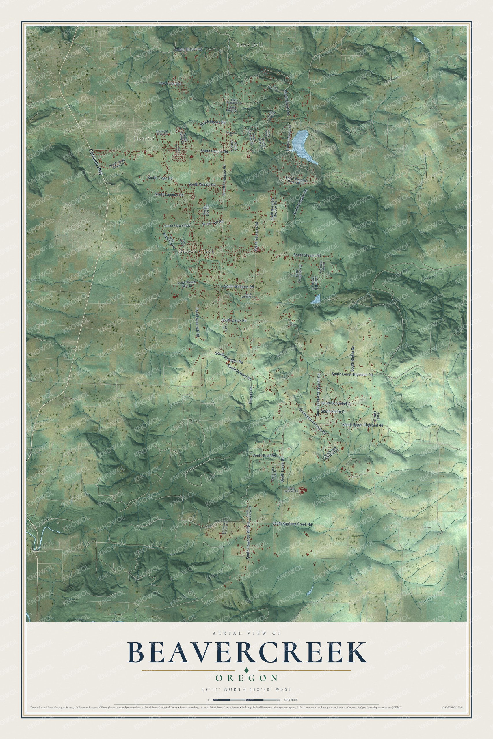
This beautifully detailed map of Beavercreek, Oregon was created in 2026 using aerial imagery combined with modern topographical, census, street and landmark data. It’s a one-of-a-kind view of Beavercreek that combines accurate data with a vintage aesthetic. The map shows every building in its true location, many of the roads carry their names, and the shaded topographic relief shows the shape of the land.
Explore an aerial view of Beavercreek, Oregon
On the map you’ll find Henrici and Echo Dell, along with Cascade Highway, South Beavercreek Road, South Ferguson Road, South Powder Road, South Henrici Road, South Carus Road, South Buckner Creek Road, South Larkin Road, South Lower Highland Road, and more. If you look closely you can even find your house accurately drawn in its correct location. Zoom in on the preview to look for yours.
Did You Know?
Beavercreek's German Congregational Church was founded in 1881 under its first pastor, the Reverend Ewald, and it was reorganized in 1897. An unbroken line of pastors served the church from its founding into the 1930s. That's from the Volga German Institute.
Take a closer look at the Beavercreek map
Names on this map
These names are printed on this map.
Places: Henrici, Echo Dell and Beaver Creek.
Streets and roads: Cascade Highway, South Beavercreek Road, South Ferguson Road, South Powder Road, South Henrici Road, South Carus Road, South Buckner Creek Road, South Larkin Road, South Lower Highland Road, South Kamrath Road, South Spangler Road, South Killdeer Road.
More street names, A to Z
Claflin Place, Ferguson Road, Powder Road, South Athens Drive, South Beaver Glen Drive, South Big Cedar Lane, South Bluhm Road, South Burk Road, South Cate Lane, South Creek Road, South Danny Court, South Driftwood Drive, South Evergreen Drive, South Fallsview Road, South Ferguson Terrace, South Heidi Street, South Howards Mill Road, South Ivel Road, South Jasan Drive, South Lammer Road, South Lance Court, South Lazy Excess Lane, South Levi Road, South Loder Road, South Loma Linda Drive, South McBurney Road, South Meadow Lane, South Mint Lake Road, South Monpano Overlook Drive, South Moore Road, South Mountain Meadow Road, South Old Acres Lane, South Quail Crest Lane, South Redfir Drive, South Red Hereford Lane, South Schmidt Road, South Schuebel Lane, South Schuebel School Road, South Seal Court, South Sisters Way, South Starview Lane, South Steiner Road, South Thayer Road, South Tioga Road, South Upper Highland Road, South Upper Road, South Whitney Lane, South Williams Road, South Wilson Road, South Yeoman Road, South Zina Court.
See it on a wall
The Beavercreek map as a framed print. Swipe for more.


This beautifully detailed map of Beavercreek makes an attractive addition to your office, library, or den, and it can even be used to teach children the geography and history of the area. It also makes a great gift for anyone with Beavercreek roots. When you’re done exploring, click here to get your copy of the Beavercreek map.