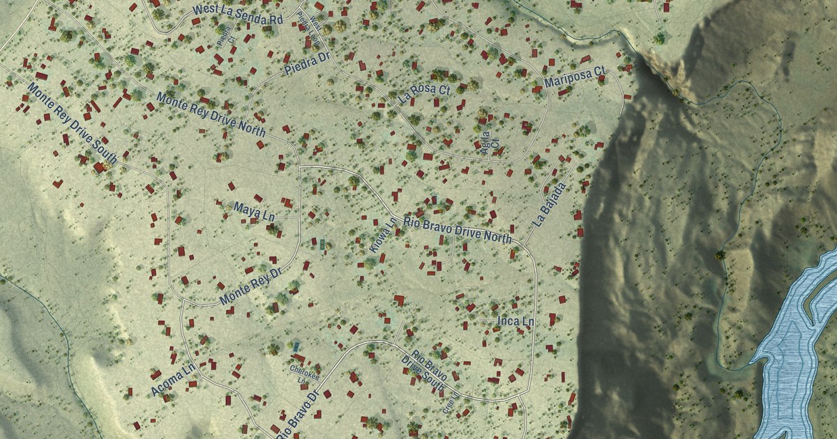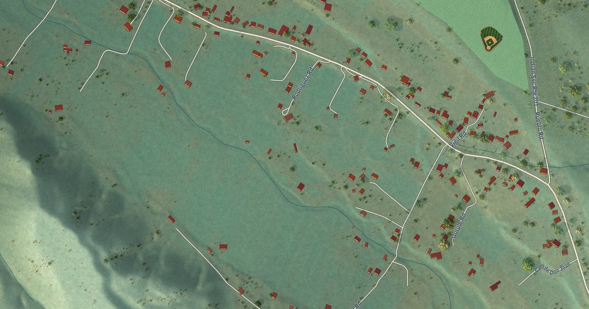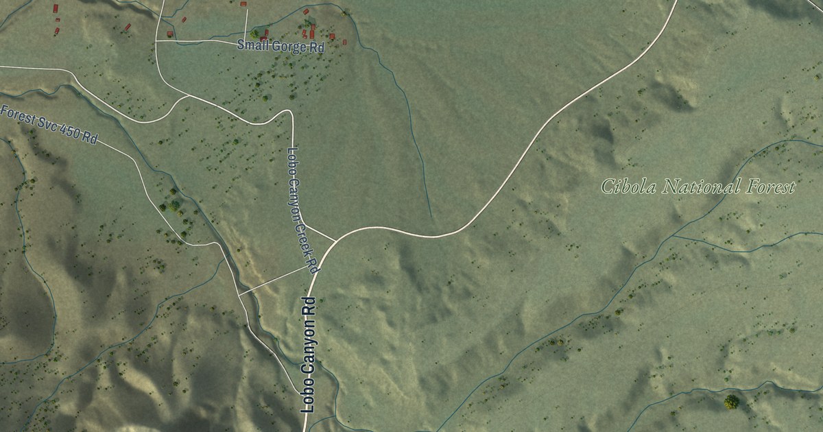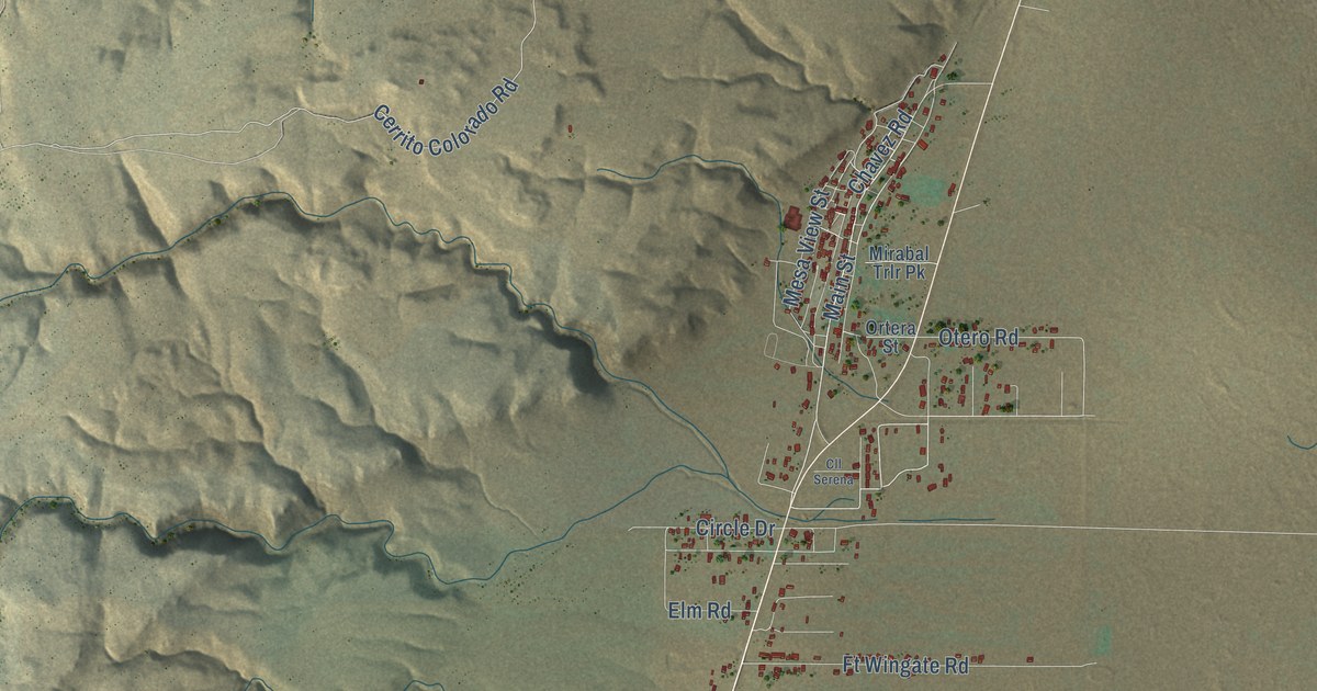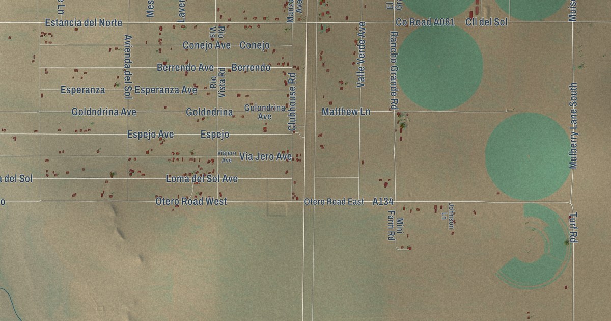
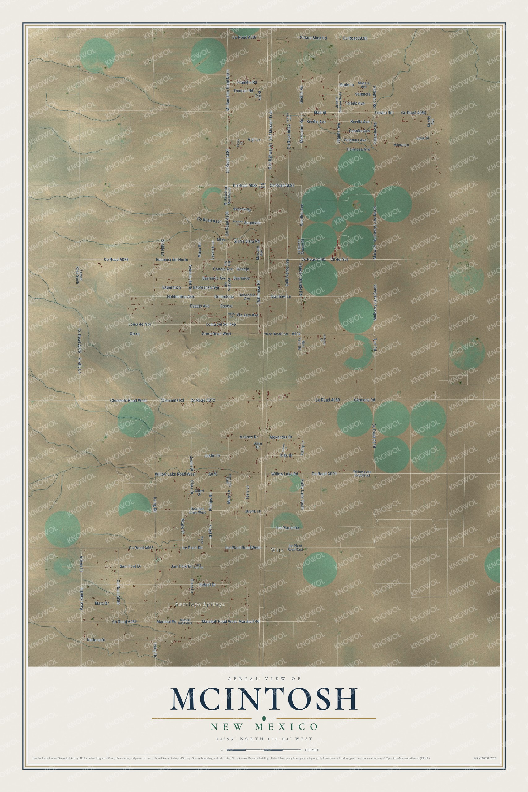
This beautifully detailed map of McIntosh, New Mexico was created in 2026 using aerial imagery combined with modern topographical, census, street and landmark data. It’s a one-of-a-kind view of McIntosh that combines accurate data with a vintage aesthetic. The map shows every building in its true location, many of the roads carry their names, and the shaded topographic relief shows the shape of the land.
Explore an aerial view of McIntosh, New Mexico
On the map you’ll find Antelope Springs, Witt, Estancia del Norte, and A134, along with County Road A149, County Road A134, Rancho Grande Road, County Road A081, County Road A076, Valle Verde Avenue, Turf Road, Old Highway 41, and more. If you look closely you can even find your house accurately drawn in its correct location. Zoom in on the preview to look for yours.
Did You Know?
McIntosh bears the name of one of Torrance County's early sheep ranchers, a native of Scotland who settled near Cienega Spring, a good place for lambing. He was a partner in the McIntosh and McGillivray sheep company and held county offices in Torrance County's early years. That's from the Place Names of New Mexico by Robert Julyan.
Take a closer look at the McIntosh map
Names on this map
These names are printed on this map.
Places: Antelope Springs and Witt.
Streets and roads: Rancho Grande Road, Estancia del Norte, Valle Verde Avenue, Turf Road, Old Highway 41, Justin Street, Paso Rancho, Salt Mission Trail, Mescalero Road, Alexander Drive, Robert Drive, Arlene Drive.
More street names, A to Z
Albert Drive, Allen Drive, Alonzo Lane, Andrew Drive, Avienda del Sol, Becky Court, Berrendo, Berrendo Avenue, Caballo Avenue, Clara Drive, Clara Lane, Clemens Road, Clements Road, Clements Road West, Cll del Sol, Clubhouse Road, Conejo, Conejo Avenue, Darlene Drive, Duncan Road, Ellis Drive, El Rancho Grande Road, Espejo, Espejo Avenue, Esperanza, Esperanza Avenue, Firefly Lane, Floyd Drive, Franklin Road, Goldndrina, Goldndrina Avenue, Golondrina Avenue, Hermosa Avenue, Ice Planet Road, Ice Plant Road, Ice Plant Road East, Ice Plant Road West, Irving Drive, Irving Road, Jam Ford Drive, Jam Ford Road, Johnson Lane, Juana Lane, Juanita Avenue, Juanito Avenue North, Justin Drive, Kathy Lane, Kathy Lane South, Larson Road South, Laverne Lane, Loma del Sol, Loma del Sol Avenue, Louie Drive, Lovato Road, Madera Avenue, Maderia, Madrid, Madrid Avenue, Manzano Avenue, Maple Street, Marc Drive, Marshall Road, Marshall Road West, Marshal Road, Marshal Road West, Mary Lane, Mary Lane South, Matthew Lane, Meadow Road, Mesa Drive, Mesa Road, Mini Farm Road, Mi Ranchito Road North, Mi Ranchitos Road South, Muiserri, Mulberry Lane North, Mulberry Lane South, Otero, Otero Road East, Otero Road West, Palamino Road, Palamus Avenue, Palomino Road, Phillips Road, Potato Shed Road, Punky Lane, Ramsey Lane, Rio Vis, Rio Vista Road, Rowland Drive West, Sam Ford Drive, Satellite Avenue, Sedillo Road, Sevilla Avenue, Seville Avenue, Shondale, Shondale Lane, Sierra Vista Road, Stable Lane, Terry Lane, Toledo Avenue, Tyler Loop, Valencia, Valle Verde Road, Via Jero Avenue, Viajero Avenue, Vigil Lane, Walnut Drive, Willow Lake Road, Willow Lake Road East, Willow Lake Road West.
See it on a wall
The McIntosh map as a framed print. Swipe for more.


This beautifully detailed map of McIntosh makes an attractive addition to your office, library, or den, and it can even be used to teach children the geography and history of the area. It also makes a great gift for anyone who grew up in McIntosh or moved away. When you’re done exploring, click here to get your copy of the McIntosh map.