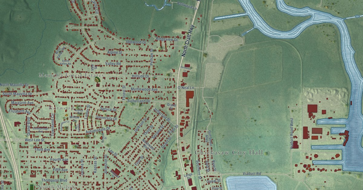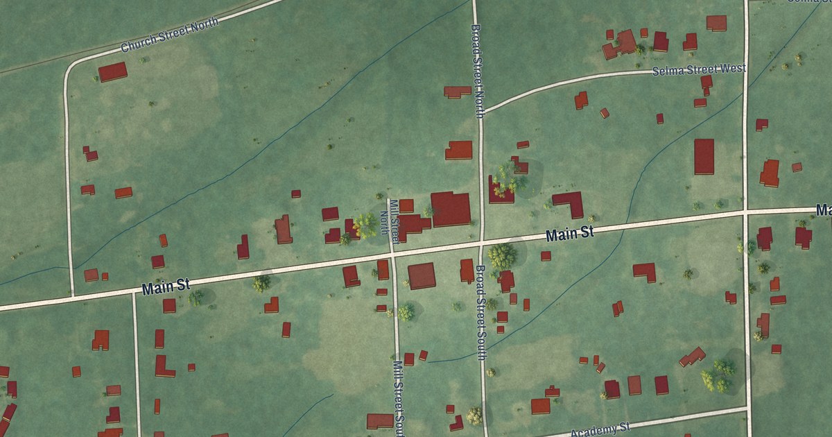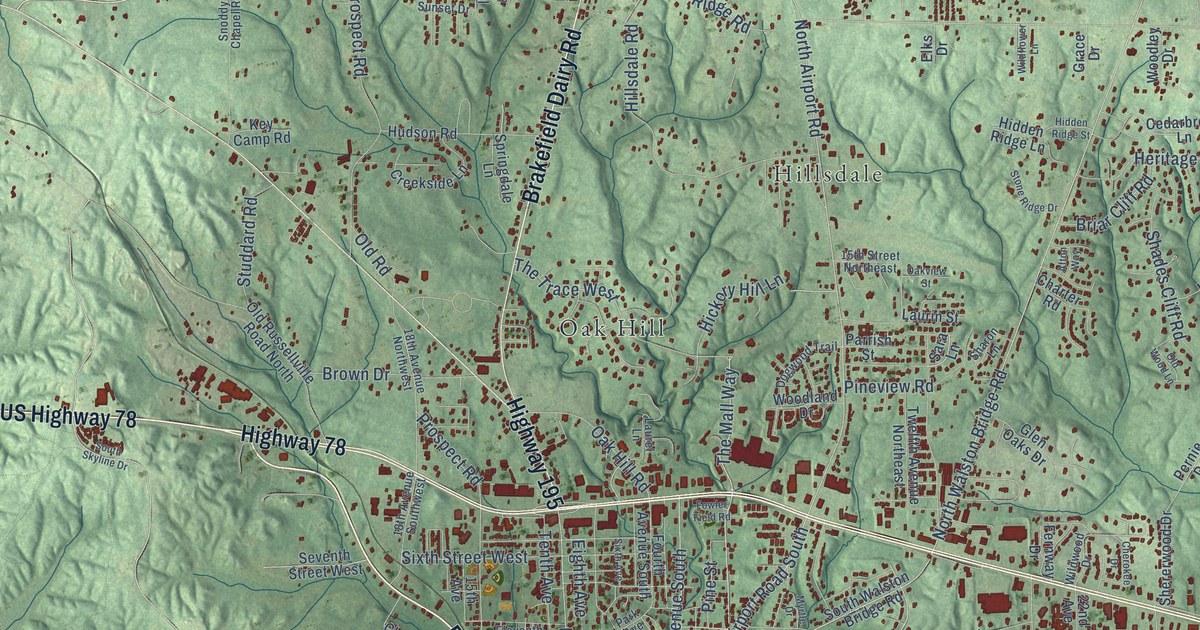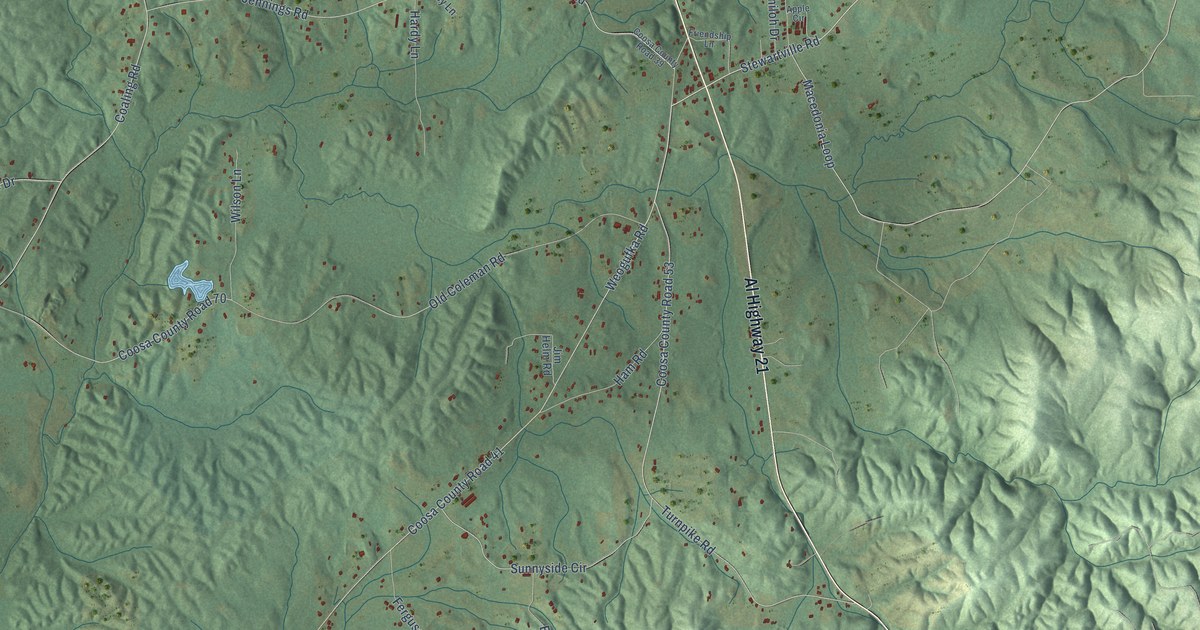
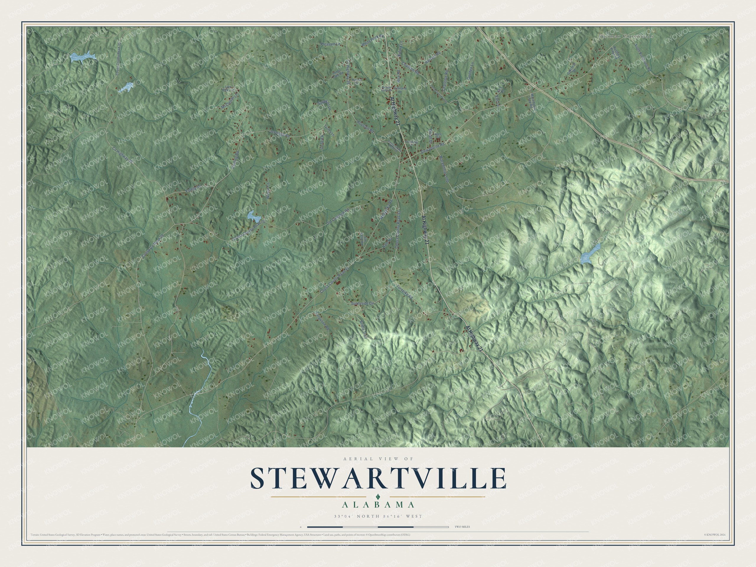
This beautifully detailed map of Stewartville, Alabama was created in 2026 using aerial imagery combined with modern topographical, census, street and landmark data. It's a modern aerial view of Stewartville in Coosa County, Alabama, that combines modern data with a vintage aesthetic. The roads feature printed names, and if you look closely you can find your exact house accurately shown in its correct location.
Explore an aerial view of Stewartville, Alabama
On this map you'll find Holman Crossroads, Al Highway 21, Coosa County Road 41, Coosa Co Road 29, Turnpike Road, Estelle Drive, Weogufka Road, Co Highway 39, Houston Road, Coaling Road, White Rock Road, Co Highway 35, and more. Each red shape is a building, so zoom in on the preview and look for yours.
Every town has a first chapter, and Stewartville is no exception. Stewartville sits in what Coosa County historian George Brewer called the Macedonia and Stewartville country, a level belt of land on both sides of Weogufka Creek where the settlers lived scattered for a long time. Fox Shelton came early and for many years kept the Shelton Inn near Shelton Creek. Mr. Richards, another early settler on Weogufka Creek, was a well to do farmer whose very fine apples and peaches Brewer saw for himself. That's from the Alabama Historical Quarterly.
Stewartville is a community in Coosa County. The Census Bureau counted 1,662 people here in 2020.
Take a closer look at the Stewartville map
Names on this map
These names are printed on this map.
Places: Holman Crossroads.
Streets and roads: Al Highway 21, Coosa County Road 41, Coosa County Road 29, Turnpike Road, Estelle Drive, Weogufka Road, County Highway 39, Houston Road, Coaling Road, White Rock Road, County Highway 35, Stewartville Road.
More street names, A to Z
Antique Valley Drive, Apple Circle, Bice Road, Bridle Trail, Buford Lane, Charlotte Road, Chatham Road, Coosa County Road 35, Coosa County Road 39, Coosa County Road 53, Coosa County Road 68, Coosa County Road 70, Ed's Lane, Eds Lane, Ferguson Road, Friendship Lane, Gilliland Lane, Gooden Lane, Ham Road, Hardy Lane, Harley Drive, Harvest Road, Jennings Road, Jim Helm Road, Jones Lake Road, Live Oaks Lane, Macedonia Loop, Macedonia Loop Road, McClellan Lane, Oakcrest Drive, Old Coleman Road, Pleasant Lane, Rustling Pines Lane, Sappy Jo Lane, Shiloh Drive, South Rockhouse Road, Sunnyside Circle, Turney Lane, Wilson Lane.
See it on a wall
The Stewartville map as a framed print. Swipe for more.


Created by KNOWOL in 2026. The buildings are small red shapes, the roads carry their printed names, and shaded relief shows the shape of the land. The title panel reads "AERIAL VIEW OF STEWARTVILLE, ALABAMA" with 33°04' NORTH 86°16' WEST.
Hang it in the hallway, the office or the cabin, or give it to someone who left Stewartville and still calls it home. Open the preview and look for a street you know. See sizes and frames for the Stewartville map.